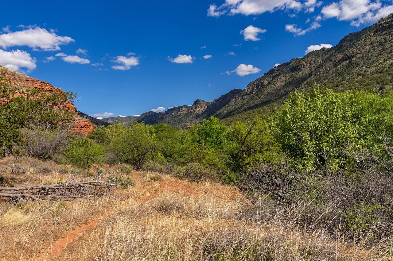
A red dirt hiking trail through grass toward the hillsPhoto: Coconino National Forest (CC0) · Wikimedia Commons

Outdoors · Verde Valley

Trails in the Verde Valley

302 listings across 9 towns, each checked against the source.

This page does not have a written intro yet, so it is not submitted to search engines yet.

By town: Sedona (158), Village of Oak Creek (45), Rimrock (22), Camp Verde (17), Clarkdale (16), Verde Village (15), Jerome (15), Cornville (9), Cottonwood (5)

A B Young Trail, Sedona Coconino National Forest (CC0-1.0)
Sedona · Trails

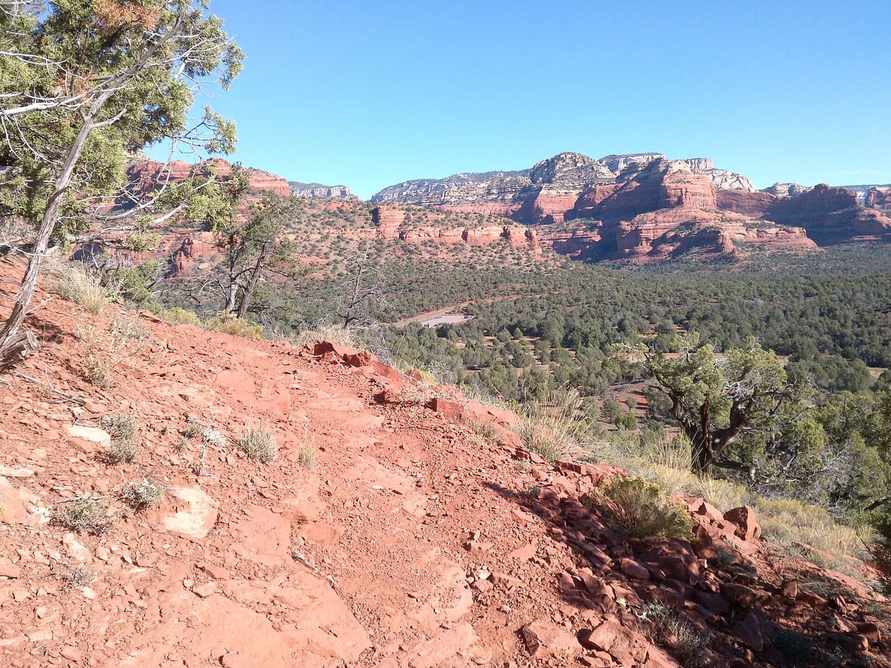
A B Young Trail covers 2.09 miles near Sedona, in the Red Rock Ranger District of Coconino National Forest. It is trail number 100. The typical grade is 10 to 12 percent, which is steep enough that the mileage understates the effort, and the surface is native material. It is a class 2 trail. The allowed uses are not posted, so ask before you ride. This is a well known climb and it can be busy, so an early start helps with both parking and heat. Trailhead parking details are not posted, and parking rules around Sedona change, so check before you drive out.

Verified Verified
Sedona · Trails

Adobe Jack Trail is a 2.1 mile path in the Coconino National Forest near Sedona, Arizona. The Red Rock Ranger District takes care of it. The tread is native material, so you walk on packed dirt and rock rather than pavement. Grades run about 8 to 10 percent, which means steady short climbs rather than flat walking. It is listed as trail number 660 and rated trail class 2, a simple developed path with no pavement and no railings. Wear shoes with grip, carry more water than you think you need, and check the district for closures before you drive out to the trailhead.

Verified Verified
Aerie Trail, Sedona davidpinter (CC BY 3.0)
Sedona · Trails

Aerie Trail runs 2.75 miles over native dirt and rock in the Coconino National Forest outside Sedona. Grades sit between 5 and 8 percent, so the climbing is gentle and steady rather than steep. It is listed as trail number 168 and rated trail class 2, which means a developed path with a clear tread but no pavement and no railings. The Red Rock Ranger District manages it. Shade is thin on most trails in this country, so carry more water than you think you need, start early in warm months, and check for closures before you drive to the trailhead.

Verified Verified
Village of Oak Creek · Trails

Agave Trail runs about 0.11 miles through the red rock country around the Village of Oak Creek, Arizona. The grade is listed at 5-8%, so there is some climbing but nothing sustained for long. Walkers cross native material. It is signed as trail number 173B and rated trail class 3. The Red Rock Ranger District of the Coconino National Forest takes care of it. Check current conditions before you go, because weather, fire, or repair work can close a route. Carry water and tell someone where you plan to walk.

Verified Verified
Airport Loop, Sedona ksblack99 (public-domain)
Sedona · Trails

A loop of 3.22 miles on native dirt and rock, numbered 210 and rated trail class 2 by the Coconino National Forest. Airport Loop has grades between 5 and 8 percent, so it rolls rather than climbs hard, and a loop means you finish where you parked. The Red Rock Ranger District manages the trail. Footing is loose in places on this kind of surface, so shoes with grip help more than anything else. Carry water even for a short walk, since there is none on the trail, and check the district for closures before you set out.

Verified Verified
Sedona · Trails

Allens Bend Trail is 0.45 miles near Sedona, in the Red Rock Ranger District of Coconino National Forest. It is trail number 111. Native material underfoot, at a typical grade of 5 to 8 percent. The trail class is 3, the most developed class are listed, which generally means a well defined tread. The allowed uses are not posted for this one, so ask before you ride. Under half a mile makes this a short walk rather than an outing, and short trails near Sedona are often busiest in the evening. Parking rules and fees are not posted for it, and those change, so check first.

Verified Verified
Sedona · Trails

Anaconda Trail runs 1.7 miles through the Red Rock Ranger District of the Coconino National Forest. The tread is native material, meaning packed dirt and rock left as the ground lies, with no pavement and no boardwalk. Grades sit between 5 and 8 percent, a steady climb rather than a scramble, and the route is rated trail class 2, so expect a clear but rough path. It carries the number 162B on maps and signs, which helps at junctions where several trails meet. Bring water and check the weather before you start, because shade is thin and storms move in fast over open rock.

Verified Verified
Sedona · Trails

Short and easy to fit into a morning, Andante Trail covers 0.63 miles in the Red Rock Ranger District of the Coconino National Forest. The surface is native material, so packed dirt and loose rock rather than gravel or pavement. Grades run 5 to 8 percent, gentle enough for most walkers, and the trail is rated class 2, which means a defined path that is still rough underfoot. Look for the number 165E at trail junctions. Because it is short, it works well linked with neighboring routes into a longer loop. Carry water, wear shoes with grip and check conditions after rain or snow.

Verified Verified
Sedona · Trails

At 0.19 miles, Andante West Trail is a connector more than a destination. It lies in the Red Rock Ranger District of the Coconino National Forest and is numbered 165D on signs and maps. The tread is native material, left as dirt and rock, and grades stay between 5 and 8 percent, so the walking is easy. It is rated trail class 2, meaning a path that is clear but unimproved. Most people use it to link two longer routes rather than walk it on its own, which makes it worth knowing when you are planning a loop. Check conditions before heading out after storms.

Verified Verified
Sedona · Trails

Ant Hill Loop is a 0.6 mile circuit in the Red Rock Ranger District of the Coconino National Forest, numbered 666 where it is signed. Grades run steeper than many short trails nearby, between 8 and 10 percent, so expect to breathe harder on the climb even though the distance is small. The surface is native material, packed dirt and rock with loose patches. It is rated trail class 2, a defined but unimproved path. Being a loop, it returns you to the start without retracing your steps. Wear shoes with grip, carry water and take care on the descent where the ground is loose.

Verified Verified
Rimrock · Trails

Apache Maid Spur Trail is a short path on public land near Rimrock, Arizona. It runs about 0.55 miles and is signed as trail number 15A. The tread is native material, meaning packed dirt and loose rock rather than gravel or pavement. Grades sit in the 5-8% range, so there is steady climbing in spots without long steep pitches. It carries a trail class of 1, the roughest build, so the path can be faint and footing uneven. Upkeep falls to the Red Rock Ranger District of the Coconino National Forest. Carry your own water, watch the weather, and check for fire restrictions before you drive out.

Verified Verified
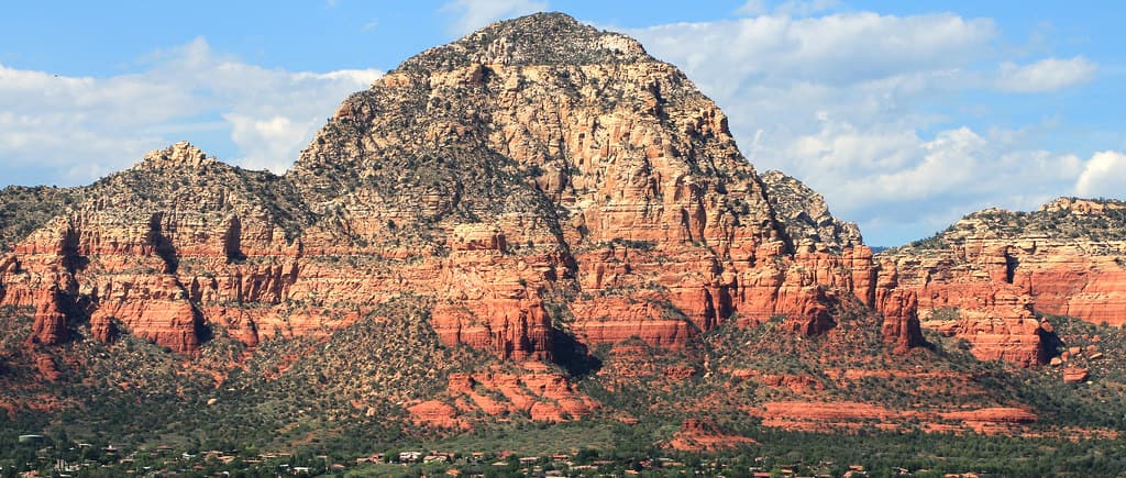
Rimrock · Trails

Hikers looking for a long day near Rimrock, Arizona can follow Apache Maid Trail, which covers about 8.67 miles. It is signed as trail number 15. Grades fall in the 5-8% range, a steady pull rather than a scramble, and the walking surface is native material, so expect dirt and rock underfoot. A trail class of 2 means the route is built simply: a clear path, but few signs and no paving. The Red Rock Ranger District of the Coconino National Forest looks after it. Plan for sun and heat, carry more water than you think you need, and tell someone when you expect to be back.

Verified Verified
Sedona · Trails

Named for the trees that grow along it, Arizona Cypress Trail covers 1.64 miles in the Red Rock Ranger District of the Coconino National Forest. It is marked as trail 203. The path is native material, which means dirt and rock with no surfacing, and it can hold loose gravel on the steeper pitches. Grades stay between 5 and 8 percent, so the climbing is steady rather than sharp. Its trail class 2 rating describes a route that is easy to follow but never smooth. Bring water, start early in warm months and check for closures before you drive to the trailhead.

Verified Verified
Camp Verde · Trails

Arnold Trail is one of the shortest trails we list near Camp Verde, at 0.34 miles. It sits in the Verde Ranger District of Prescott National Forest and carries the number 0510. The typical grade runs 5 to 8 percent, so it climbs steadily without being steep. The surface is native material, and the trail class is 2. Hiking, horses and bicycles are all listed as allowed uses. A trail this short usually works as a link between longer routes rather than as a walk on its own. We do not yet hold parking or trailhead details for it, so check with that office before you set off.

Verified Verified
Jerome · Trails

Ash Canyon Trail runs 2.89 miles near Jerome, in the Verde Ranger District of Prescott National Forest, as trail number 0539. The typical grade is 12 to 20 percent. That is steep, and on a canyon route it usually means the climbing comes in long pushes rather than spread out evenly. The tread is native material; the class is 2. Hiking, horses and bicycles are the listed uses, though a grade this steep is hard work on a bike in at least one direction. Trailhead directions and water information are not posted for this trail, so plan from the district office before you go.

Verified Verified
Verde Village · Trails

Trail 9705 runs 2.4 miles over native dirt, with no paving and no surfaced tread. Grades sit in the 8 to 10 percent band, so the climbing is steady rather than gentle. Hikers, riders on horseback, and people on bicycles may all use it. Motorized vehicles are not among the listed uses. It is rated trail class 2, which means a basic route with light construction and few built features. The Verde Ranger District of the Prescott National Forest manages it. Check with the ranger district for current conditions, since washes and storms change dirt tread quickly. Carry water and wear shoes with grip.

Verified Verified
Verde Village · Trails

Riders on an ATV share this one with people on foot, on a bicycle, and on horseback, so expect to meet motorized traffic. It runs 3.07 miles on native dirt, with grades in the 5 to 8 percent range, which makes for a moderate and fairly even pull. Trail 0546 is rated class 3, a step more developed than a rough footpath, with a wider and better defined tread. The Verde Ranger District of the Prescott National Forest manages it. Dirt tread can wash out after a storm, so ask the ranger district about conditions before a long ride. Yield rules matter here, since users travel at very different speeds.

Verified Verified
Village of Oak Creek · Trails

Baby Bell Spur Trail is 0.32 miles near Village of Oak Creek, in the Red Rock Ranger District of Coconino National Forest. It is trail number 655A. It is a spur, which means it branches off a longer trail and ends rather than looping. The typical grade is 0 to 5 percent, close to flat, and the surface is native material. It is a class 3 trail. The permitted uses are not posted here. Short and flat makes this a reasonable add on at the end of a longer walk, or a way to reach a junction without much climbing.

Verified Verified
Village of Oak Creek · Trails

Trail number 655 carries the name Baby Bell Trail. It covers about 0.28 miles on public land near the Village of Oak Creek, Arizona. The route is built on imported compacted material and is rated trail class 2. Grade on the path is given as 5-8%. Care of the trail falls to the Red Rock Ranger District of the Coconino National Forest. Plan a turnaround time, and turn back early if the light or the weather changes. Check current conditions before you go, because weather, fire, or repair work can close a route.

Verified Verified
Verde Village · Trails

Grades of 0 to 5 percent make this one of the flatter routes in the area, and it runs 4.29 miles on native dirt. Trail 1000 is rated class 3, so the tread is wider and better defined than a rough footpath, which suits a steady pace over a longer distance. This is Red Rock Ranger District land, on the Coconino National Forest. Allowed uses are not listed here, so check with the ranger district before bringing a bicycle, a horse, or anything motorized. Gentle grade does not mean short, so carry water for the full distance and ask about conditions after any storm.

Verified Verified
Village of Oak Creek · Trails

About 0.35 miles long, Bail Trail sits on Coconino National Forest land near the Village of Oak Creek, Arizona. The Red Rock Ranger District keeps it up. Look for the number 656 where routes meet. The path is made of imported compacted material, rated trail class 2, and rises at a grade of 5-8%. Carry water and tell someone where you plan to walk. Wear shoes with good grip and give yourself time to get back. Match the trail number to the signs at junctions so you stay on the route you meant to take.

Verified Verified
Village of Oak Creek · Trails

Near the Village of Oak Creek, Arizona, Baldwin Trail covers about 2.52 miles. Grade is 5-8% and the walking surface is native material. The route holds a trail class 3 rating and is numbered 191. It lies in the Coconino National Forest, in the Red Rock Ranger District. Match the trail number to the signs at junctions so you stay on the route you meant to take. Read the rules posted at the trailhead, since not every route is open to bikes, horses, or dogs. Park only in marked spaces and pack out everything you bring in.

Verified Verified
Sedona · Trails

Bandit Trail is short, 0.45 miles, and sits in the Red Rock Ranger District of the Coconino National Forest under the number 209. Grades of 5 to 8 percent keep it gentle, and the tread is native material, so packed dirt and rock rather than anything laid down. The trail class 2 rating means a path that is easy enough to follow but rough in places. Its length makes it most useful as a link in a longer ride or walk, joined to the trails around it. Carry water even on a short outing, and check the forecast, because shade is limited.

Verified Verified
Bear Mountain Trail, Sedona Coconino National Forest (CC0-1.0)
Sedona · Trails

This is a climb, not a stroll. Bear Mountain Trail runs 2.35 miles in the Red Rock Ranger District of the Coconino National Forest, and its grades reach 20 to 30 percent, far steeper than most routes nearby. The surface is native material, dirt and rock, with sections where you are stepping up ledges rather than walking. It is signed as trail 54 and rated trail class 2. Allow much more time than the distance suggests, carry plenty of water, and turn back if heat or weather builds. Sturdy shoes matter here. Check conditions before you drive to the trailhead.

Verified Verified
Bear Sign Trail, Sedona deborah.soltesz (CC0-1.0)
Sedona · Trails

Bear Sign Trail is one of the longer walks in this group, 3.1 miles in the Red Rock Ranger District of the Coconino National Forest. Grades hold between 5 and 8 percent, so the effort is spread out rather than concentrated in one climb. The tread is native material, packed dirt and rock, and crossings can be muddy or wet after rain. Signs and maps carry the number 59, and the route is rated trail class 2. Plan for the full distance out and back unless you are linking it with another trail. Carry water and tell someone your plan.

Verified Verified
Village of Oak Creek · Trails

Trail number 657 carries the name Bell Rock Loop Extension. It covers about 0.15 miles on public land near the Village of Oak Creek, Arizona. The route is built on native material and is rated trail class 4. Grade on the path is given as 5-8%. Care of the trail falls to the Red Rock Ranger District of the Coconino National Forest. Park only in marked spaces and pack out everything you bring in. Phone service is not reliable on forest land, so save a map before you leave town.

Verified Verified
Bell Rock Pathway, Village of Oak Creek Brady Smith; Coconino National Forest (CC BY-SA 2.0)
Village of Oak Creek · Trails

About 3.58 miles long, Bell Rock Pathway sits on Coconino National Forest land near the Village of Oak Creek, Arizona. The Red Rock Ranger District keeps it up. Look for the number 96 where routes meet. The path is made of imported compacted material, rated trail class 4, and rises at a grade of 5-8%. Plan a turnaround time, and turn back early if the light or the weather changes. Check current conditions before you go, because weather, fire, or repair work can close a route.

Verified Verified
Bell Rock Trail, Village of Oak Creek Brady Smith; Coconino National Forest (CC BY-SA 2.0)
Village of Oak Creek · Trails

Near the Village of Oak Creek, Arizona, Bell Rock Trail covers about 0.41 miles. Grade is 12-20% and the walking surface is native material. The route holds a trail class 2 rating and is numbered 214. It lies in the Coconino National Forest, in the Red Rock Ranger District. Carry water and tell someone where you plan to walk. Wear shoes with good grip and give yourself time to get back. Match the trail number to the signs at junctions so you stay on the route you meant to take.

Verified Verified
Bell Trail, Rimrock Coconino National Forest (CC0-1.0)
Rimrock · Trails

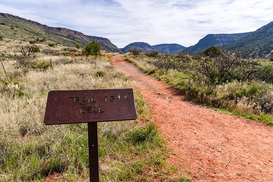
Bell Trail runs roughly 7.72 miles on public land near Rimrock, Arizona, and is signed as trail number 13. The walking surface is native material, so the tread is dirt and rock that can be loose after rain. Grades stay in the 5-8% range, which makes for a gradual climb spread over a long distance. A trail class of 2 puts it in the simply built group: the path is easy to follow, but the route is not paved or heavily marked. The Coconino National Forest holds this ground, through its Red Rock Ranger District. Start early in warm months and bring plenty of water.

Verified Verified
Sedona · Trails

Big Bear Trail is public land walking in the Coconino National Forest, 0.67 miles of it, managed by the Mogollon Rim Ranger District close to Sedona, Arizona. It carries the number 232 and is held to class 3 standards. Rain and snowmelt can leave the footing slick, and washes may hold water for a day or two. Pack water and a hat. Shade comes and goes, and afternoons heat up fast. The Mogollon Rim Ranger District can tell you about closures and any pass you need to leave a car at the start.

Verified Verified
Village of Oak Creek · Trails

Trail number 135A carries the name Big Park Loop. It covers about 1.54 miles on public land near the Village of Oak Creek, Arizona. The route is built on native material and is rated trail class 3. Grade on the path is given as 5-8%. Care of the trail falls to the Red Rock Ranger District of the Coconino National Forest. Match the trail number to the signs at junctions so you stay on the route you meant to take. Read the rules posted at the trailhead, since not every route is open to bikes, horses, or dogs.

Verified Verified
Cottonwood · Trails

Bill Ensign Trail runs about 1.76 miles and is numbered 182 in the national forest trail system. The tread is native material, meaning dirt and rock rather than gravel or pavement. Grades along the route run roughly 8 to 10 percent, so expect steady climbing in places. It is rated trail class 2, which points to a simple path with little in the way of built structures. The Coconino National Forest manages it through the Red Rock Ranger District. Conditions change with weather and season, so check with the ranger district before heading out. Carry water, and wear footwear with grip, because loose ground on a native surface moves underfoot.

Verified Verified
Verde Village · Trails

At 7.67 miles, this is the longest of the routes in the Verde Ranger District listed here, and the grades are the steepest band on offer at 10 to 12 percent. The tread is native dirt throughout. Hiking, horseback riding, and bicycles are the allowed uses, and motors are not on that list. Trail 0114 is rated class 3, so the tread is better defined than a rough path, though length and grade still make it a full outing. The Prescott National Forest manages it. Start early in warm months, carry more water than you think you need, and ask the ranger district about conditions first.

Verified Verified
Cornville · Trails

Black Grama Loop is a loop route in the Cornville area of Arizona. It runs about 2.17 miles and stays fairly flat, with a grade of 0 to 5 percent. The tread is native material, so expect dirt, rock, and loose gravel rather than a paved path. It carries the number 1004 and a trail class of 3. The route lies in the Red Rock Ranger District of the Coconino National Forest. A loop returns to where it starts, so no second car or ride back is needed. Carry your own water, and look up closures and fire restrictions on the forest website before you drive out.

Verified Verified
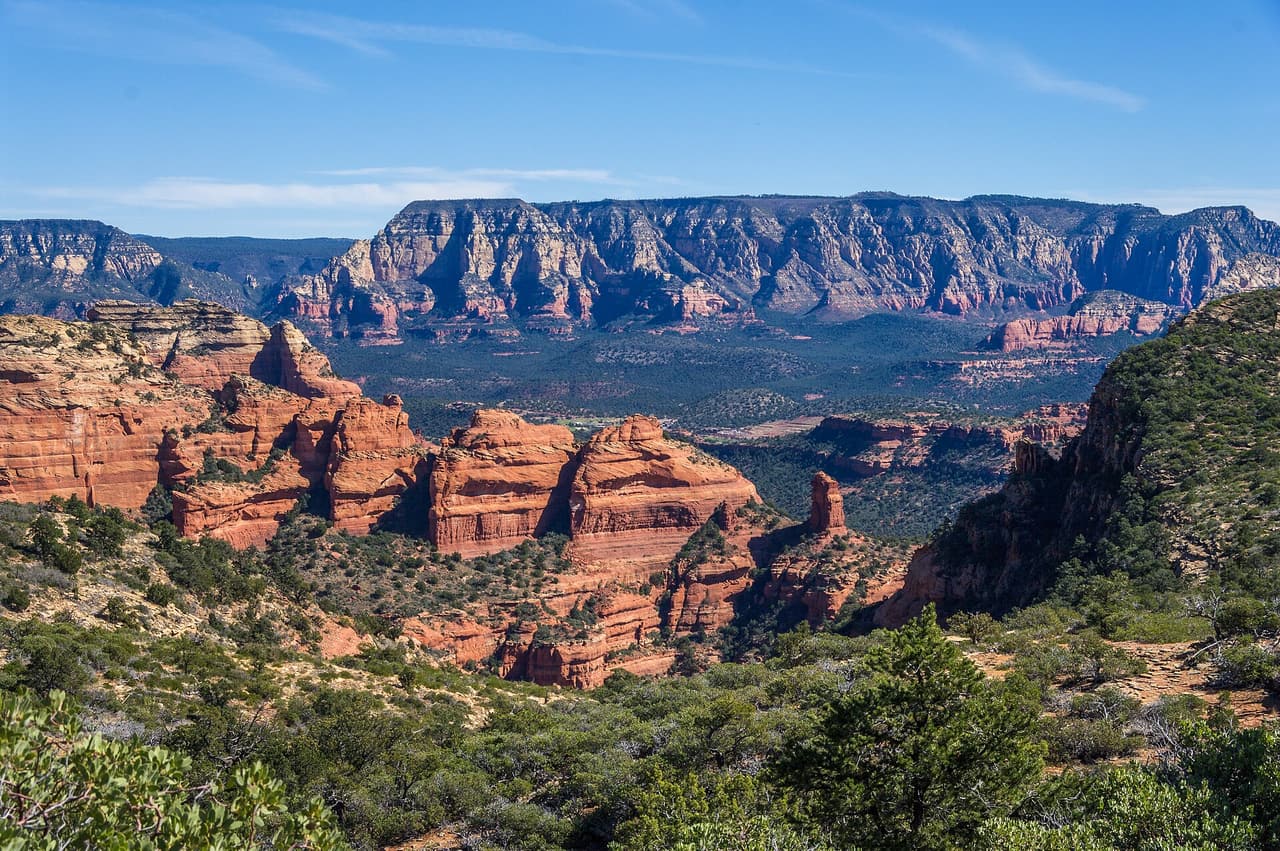
Rimrock · Trails

At about 2.36 miles, Blodgett Basin Trail is a steeper walk than most paths around Rimrock, Arizona. Grades run 8-10%, so you gain height quickly and should expect to slow down on the way up. The trail is signed as number 31, and the tread is native material, which means dirt and rock rather than a smoothed surface. Its trail class of 1 marks it as rough and lightly built, with faint stretches and uneven footing. The Red Rock Ranger District of the Coconino National Forest manages the route. Wear shoes with grip, pack water, and check the weather before you set out.

Verified Verified
Verde Village · Trails

Short and mostly gentle, this route covers 1.35 miles with grades in the 5 to 8 percent range. The tread is native dirt. It is open to ATV riders, bicycles, horses, and people on foot, so a quiet walk is not guaranteed and it pays to listen for engines. Trail 0526 carries a class 2 rating, meaning simple construction and few built features. The Verde Ranger District of the Prescott National Forest manages it. Its length makes it a reasonable choice when time is short or when you want to link it with something longer. Conditions in a wash change after rain, so check before you go.

Verified Verified
Clarkdale · Trails

Bones Trail is 6.05 miles long on native material, so the tread is dirt and rock rather than gravel or pavement. Grades run 5 to 8 percent, which is a steady pull rather than a sharp climb, but the length adds up. It is rated trail class 2, meaning a built path that stays rough in places. The route is numbered 180 and falls under the Red Rock Ranger District of Coconino National Forest. Carry more water than you think you need, since there is no posted water along the way, and check with the ranger district for closures and current conditions before heading out.

Verified Verified
Camp Verde · Trails

Box T Trail is a long route in the Prescott National Forest, listed at 10.36 miles. It is managed by the Verde Ranger District and numbered 0511. The surface is native material, meaning dirt and rock rather than pavement. Grades run from 5 to 8 percent, so the climbing is steady rather than sharp. It is rated trail class 2, a basic path without much construction. Allowed uses are wide: hiking, horseback riding, bicycles and all terrain vehicles. Because motorized and quiet users share the same tread, expect company. Ask the Verde Ranger District about conditions and closures before you go.

Verified Verified
Boynton Canyon Trail, Sedona davidpinter (CC BY 3.0)
Sedona · Trails

Boynton Canyon Trail runs 2.92 miles into the canyon it is named for, inside the Red Rock Ranger District of the Coconino National Forest. Grades stay between 5 and 8 percent, so most of the walking is moderate, with the effort spread across the distance. The tread is native material, meaning dirt and rock as the ground lies. It is signed as trail 47 and rated trail class 2, a clear route that is still uneven underfoot. Parking at popular trailheads fills early in the day. Carry water, start early in warm months and check for closures first.

Verified Verified
Sedona · Trails

Barely a quarter mile long, Boynton Vista Trail covers 0.22 miles in the Red Rock Ranger District of the Coconino National Forest. It is numbered 652 on signs and maps. Grades of 5 to 8 percent keep it easy, and the surface is native material, so dirt and rock rather than anything laid or paved. The trail class 2 rating means a path that is clear enough to follow but not smoothed out. Its length makes it a short add on to a longer walk rather than an outing by itself. Wear shoes with grip and carry water even for a quick trip.

Verified Verified
Sedona · Trails

Brads Trail covers 1.01 miles and sits in the Mogollon Rim Ranger District of the Coconino National Forest, which sets it apart from most of the routes listed nearby. It is signed as trail 243. Grades run between 5 and 8 percent, so the walking is steady. The surface is native material, dirt and rock left as found. Its trail class 3 rating points to a slightly more developed path than many trails around it, usually meaning a clearer tread and better signs along the way. Carry water, check the forecast and confirm access before you drive out.

Verified Verified
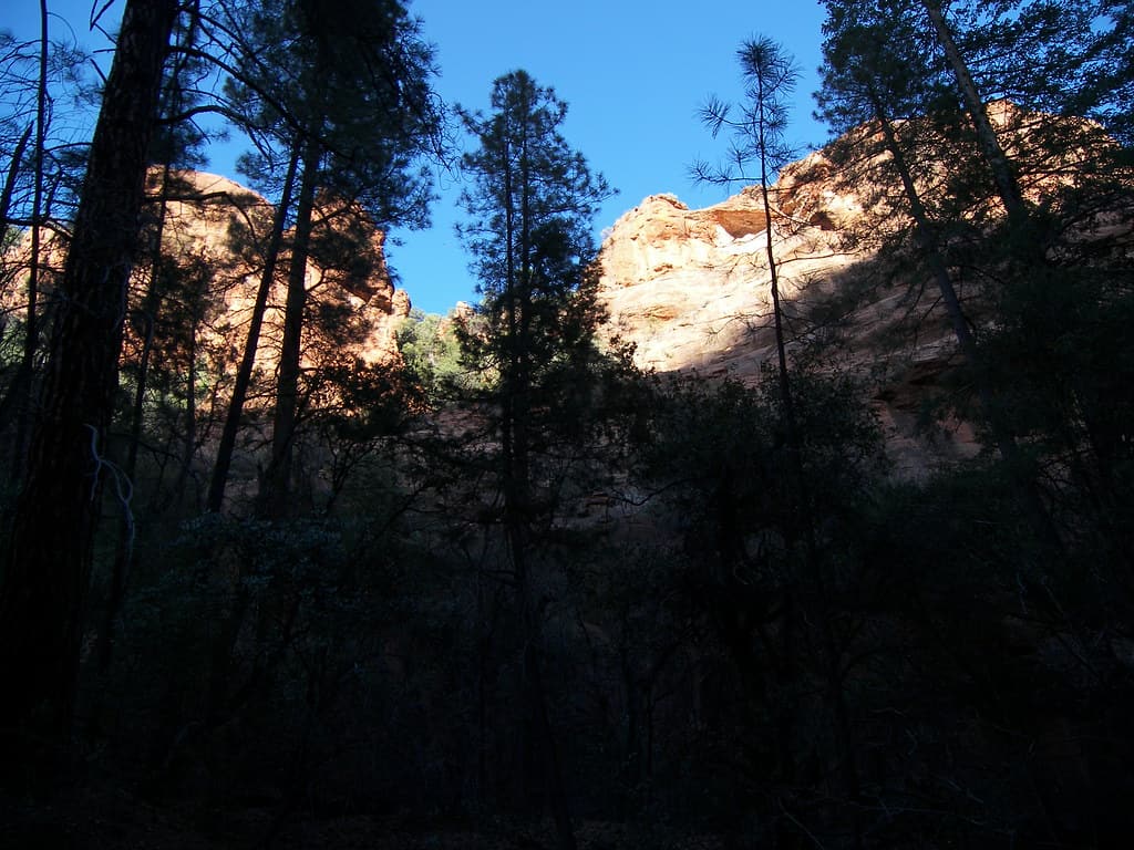
Sedona · Trails

Brewer Trail is 0.77 miles long and lies in the Red Rock Ranger District of the Coconino National Forest. It carries the number 212 where it is signed. Grades between 5 and 8 percent make it an easy walk by local standards, and the tread is native material, so expect packed dirt and rock rather than gravel or pavement. The trail class 2 rating describes a route that is clear to follow but not built up. Short trails like this one are often used to connect longer routes into a loop. Check conditions after rain, and carry water whatever the distance.

Verified Verified
Brins Mesa Trail, Sedona Coconino NF Photography (CC0-1.0)
Sedona · Trails

At 3.51 miles, Brins Mesa Trail is the longest route in this group and needs a proper half day rather than an hour. It runs through the Red Rock Ranger District of the Coconino National Forest and is signed as trail 119. Grades stay between 5 and 8 percent, so the climbing is spread out instead of stacked into one pitch. The surface is native material, dirt and rock. Its trail class 2 rating means a clear but rough path. Trailhead parking fills early on good weather days. Carry more water than you think you need and check for closures first.

Verified Verified
Sedona · Trails

Broken Arrow Spur Trail is 0.55 miles near Sedona, in the Red Rock Ranger District of Coconino National Forest, as trail number 125A. The letter on the number marks it as a spur off the trail numbered 125, and at half a mile that is exactly what it is. The typical grade is 5 to 8 percent, the surface is native material, and the trail class is 2. The allowed uses are not posted for this one, so ask before you ride. Plan it as part of the longer route rather than on its own. Parking in this area fills early.

Verified Verified
Broken Arrow Trail, Sedona Coconino National Forest (CC BY-SA 2.0)
Sedona · Trails

Broken Arrow Trail runs 1.7 miles in the Red Rock Ranger District of the Coconino National Forest and climbs harder than most, with grades of 10 to 12 percent. The surface is native material, which here means slickrock and loose dirt rather than a smooth path. It is rated trail class 3, so the tread tends to be clearer and better signed than many routes nearby. Look for the number 125 at junctions. The route is shared with other users, so stay alert and step aside where the path narrows. Carry water and start early in warm months.

Verified Verified
Rimrock · Trails

Bruce Brockett Trail is a short route near Rimrock, Arizona, running about 0.87 miles. It is signed as trail number 185. Grades of 5-8% give it a gentle but steady rise, and the surface is native material, so you walk on dirt and rock. The trail class of 2 means a simply built path: clear enough to follow, without paving or heavy signage. Because of the short length, it suits an hour outdoors rather than a full day. The Red Rock Ranger District of the Coconino National Forest manages the trail. Bring water, and check current fire and closure notices before you drive out.

Verified Verified
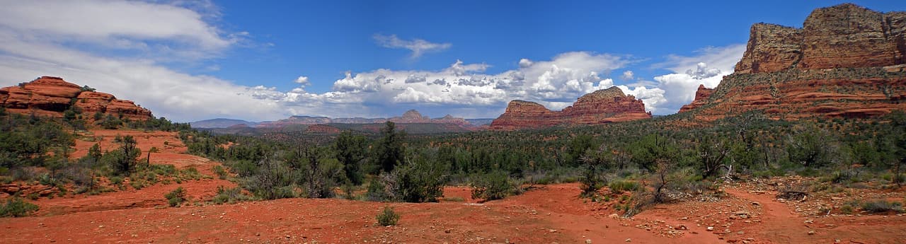
Camp Verde · Trails

Buckskin Trail is 1.88 miles near Camp Verde, in the Red Rock Ranger District of Coconino National Forest, as trail number 179. The typical grade is 5 to 8 percent, moderate throughout, and the surface is native material. The trail class is 1, the least developed class, so expect rough tread and light marking rather than a graded path. The allowed uses are not posted, so ask before you ride. On a class 1 trail the navigation matters as much as the distance: carry a map and do not rely on signs at junctions.

Verified Verified
Jerome · Trails

Bug Hollow Trail is 2.9 miles near Jerome, in the Verde Ranger District of Prescott National Forest. It is trail number 0548. The typical grade is 12 to 20 percent, the steepest band are listed, so plan on slow going in at least one direction. Native material underfoot, class 2. Hiking, horses and bicycles are listed as allowed uses. The ground near Jerome is steep to begin with, and a trail in this grade band will feel like it. Trailhead directions and seasonal closures are not posted, so check with the district office before the drive.

Verified Verified
Rimrock · Trails

Bull Pasture Trail is a very short path near Rimrock, Arizona, measuring about 0.26 miles. It is signed as trail number 1005C. Grades are 0-5%, so the route is nearly level and suits an easy stroll or a link between longer walks. Its trail class of 3 places it among the more developed paths in the area, which usually means a wider, smoother tread that is simple to follow. Upkeep falls to the Red Rock Ranger District of the Coconino National Forest. Even on a walk this short, bring water in warm weather and check current trail notices before heading out.

Verified Verified
Jerome · Trails

Butterfly Trail runs 1.59 miles near Jerome, in the Verde Ranger District of Prescott National Forest. It is trail number 0536. The typical grade is 10 to 12 percent, steep for a trail this short, so the climbing is concentrated rather than gradual. It is class 3, on native material. Hiking, horses and bicycles are the listed uses. Short and steep is a useful shape to know about: it fits in a morning, but it is not an easy stroll. Trailhead parking details are not posted, so check with the district office before you drive up.

Verified Verified
Camp Verde · Trails

Camp Verde Trail is the longest route in this set, at 12.42 miles, and it sits in the Verde Ranger District of Prescott National Forest as trail number 0545. The typical grade is 8 to 10 percent, which over that distance adds up to real climbing. Native material underfoot, class 3. Hiking, horses, bicycles and ATVs are all listed as allowed uses, so expect shared traffic. A trail this long needs planning: water, weather, daylight and a way back. Trailhead and water details are not posted, so start with the district office rather than with the map alone.

Verified Verified
Sedona · Trails

Canyon of Fools Trail covers 1.2 miles in the Red Rock Ranger District of the Coconino National Forest. It is signed as trail 174F, a number worth noting because junctions in this area can be confusing. Grades run 5 to 8 percent, so the walking is moderate rather than steep. The tread is native material, dirt and rock with loose patches, and it is rated trail class 2, meaning a path that is clear but never smoothed. It suits an hour or two outdoors and links with other routes nearby. Carry water and check conditions before you set out.

Verified Verified
Sedona · Trails

Carroll Canyon Trail runs 1.59 miles through the Red Rock Ranger District of the Coconino National Forest, signed as trail 207. Grades of 5 to 8 percent keep the effort steady, without a long hard climb. The surface is native material, so packed dirt and rock with loose sections in places, and the route is rated trail class 2, which means a clear path that has not been built up. It is a reasonable length for a morning outing and connects with other trails in the area. Bring water, watch the weather and check for closures before you drive to the trailhead.

Verified Verified
Sedona · Trails

Casner Canyon Trail is a hiking trail near Sedona, Arizona. It is trail number 11 in the Coconino National Forest, and the Mogollon Rim Ranger District manages it. The trail is 3.0 miles long. It is steep in places, with a grade of 12 to 20 percent, so plan for a slow climb and bring plenty of water. The surface is native material, which means dirt and rock rather than pavement. It is rated trail class 2, a simple path with few built features, so expect uneven footing and wear sturdy shoes. Check with the ranger district for current trail conditions before you go.

Verified Verified
Casner Mountain Trail, Sedona Coconino National Forest (CC BY-SA 2.0)
Sedona · Trails

Look for trail 8 on forest signs and maps. That is Casner Mountain Trail, a route of roughly 6.88 miles inside the Coconino National Forest. The Red Rock Ranger District manages it. Underfoot it is native material: dirt and rock, not pavement. Slopes fall in the 8 to 10 percent band, and the route is rated trail class 3. Shade can be thin, so an early start makes the walk easier in hot months. Pack out everything you carry in, food scraps included. Temperatures swing a lot between morning and afternoon, so dress in layers.

Verified Verified
Cathedral Rock Trail, Village of Oak Creek Coconino NF Photography (CC0-1.0)
Village of Oak Creek · Trails

Cathedral Rock Trail is 0.53 miles near Village of Oak Creek, in the Red Rock Ranger District of Coconino National Forest, as trail number 170. Its typical grade is 40 to 50 percent, by a wide margin the steepest figure anywhere listed here. Read that before the mileage: half a mile at that pitch is a scramble, not a walk, and it is the reason people describe this one as hard despite the short distance. It is class 2, on native material. The permitted uses are not posted here. Parking here fills early.

Verified Verified
Sedona · Trails

About 0.36 miles long, Cave Springs Trail runs through the Coconino National Forest and falls under the Red Rock Ranger District. The number on the sign is 107. The tread is native material, so expect dirt and rock the whole way. Grade sits in the 5 to 8 percent range. Trail class is 3. Wear shoes with grip and take care on loose rock. Phone service is patchy out here, so save a map to your phone first. Step to the side and let horses pass when you meet riders. Sun is strong most of the year, so a hat and sunscreen help.

Verified Verified
Rimrock · Trails

Cedar Knoll Trail is an easy walk near Rimrock, Arizona, about 0.62 miles long and signed as trail number 1005. Grades stay in the 0-5% range, so the path is close to level for most of its length. The surface is native material, which means packed dirt and small rock rather than pavement. With a trail class of 3, it is one of the better built routes in the area, usually wider and simpler to follow than the rougher paths nearby. This is Red Rock Ranger District land, on the Coconino National Forest. Carry water, and check for seasonal closures before you go.

Verified Verified
Sedona · Trails

The Red Rock Ranger District keeps up Centennial Trail, one of many routes on the Coconino National Forest. It measures close to 0.39 miles and carries the number 653. The surface is asphalt, so it is paved the whole way. Climbs and descents work out to 5 to 8 percent, and the route is logged at trail class 5. Storms and snow change conditions fast, so ask the ranger district about closures before you drive out. Small lots fill early on weekends and holidays. Stay on the worn tread to keep the soil and plants around it intact.

Verified Verified
Sedona · Trails

Chapel Trail is a 0.68 mile route numbered 213 on the Coconino National Forest. Day to day care falls to the Red Rock Ranger District. Native material is the surface here, which is to say plain dirt and stone. Grades of 5 to 8 percent give a sense of how steep the walking gets. The trail class is 2. Pack out everything you carry in, food scraps included. Temperatures swing a lot between morning and afternoon, so dress in layers. Tell someone where you are going and when you plan to be back.

Verified Verified
Camp Verde · Trails

Chasm Creek Trail climbs through the Prescott National Forest for about 6.36 miles. The Verde Ranger District manages it, and it carries the number 0164. Allowed uses are hiking and horseback riding. Grades run from 12 to 20 percent, which is steep, so this is a harder walk than its length alone suggests. Expect to gain and lose height through the route. The surface is native material, dirt and rock without any paving, and it is rated trail class 2, a plain path. Carry water and start early in warm months. Ask the Verde Ranger District about conditions first.

Verified Verified
Village of Oak Creek · Trails

Chaves Trail runs 8.47 miles near Village of Oak Creek, in the Red Rock Ranger District of Coconino National Forest, as trail number 654. The typical grade is 5 to 8 percent, moderate for the distance, and the surface is native material. The trail class is 1, the least developed class, which at this length matters: expect rough tread, light marking, and navigation you do yourself. The permitted uses are not posted here. Eight miles on a class 1 trail is a full day and a map day. Check with the district office first.

Verified Verified
Sedona · Trails

Trail class 2, grade 10 to 12 percent, and a length near 0.84 miles: that is the shape of Chimney Rock Pass Trail. It lies on the Coconino National Forest, in the Red Rock Ranger District, and shows up on maps as trail 165B. Nothing is paved. The surface is native material, dirt and rock as found. Phone service is patchy out here, so save a map to your phone first. Step to the side and let horses pass when you meet riders. Sun is strong most of the year, so a hat and sunscreen help.

Verified Verified
Sedona · Trails

Chuckwagon Trail covers about 4.45 miles and is signed as trail 196. It sits on the Coconino National Forest and is looked after by the Red Rock Ranger District. Expect native material underfoot rather than a built or paved path. Grades run between 5 and 8 percent, so expect that much climb and drop. Forest records put it at trail class 2. Small lots fill early on weekends and holidays. Stay on the worn tread to keep the soil and plants around it intact. Footing gets slick for a while after rain.

Verified Verified
Sedona · Trails

Look for trail 187 on forest signs and maps. That is Cibola Pass Trail, a route of roughly 0.66 miles inside the Coconino National Forest. The Red Rock Ranger District manages it. The surface is native material, which means packed dirt and rock rather than paving. Slopes fall in the 10 to 12 percent band, and the route is rated trail class 2. Temperatures swing a lot between morning and afternoon, so dress in layers. Tell someone where you are going and when you plan to be back. Bring more water than you think the walk needs.

Verified Verified
Sedona · Trails

About 3.53 miles long, Cockscomb Trail runs through the Coconino National Forest and falls under the Red Rock Ranger District. The number on the sign is 167. Underfoot it is native material: dirt and rock, not pavement. Grade sits in the 5 to 8 percent range. Trail class is 2. Step to the side and let horses pass when you meet riders. Sun is strong most of the year, so a hat and sunscreen help. Start back with enough daylight left to finish. Wear shoes with grip and take care on loose rock.

Verified Verified
Sedona · Trails

Coconino Loop is 0.14 miles near Sedona, in the Red Rock Ranger District of Coconino National Forest, as trail number 126. It is called a loop, but at a seventh of a mile it is a very short one: the sort of link that closes a junction rather than a walk you would drive out for. The typical grade is 5 to 8 percent, the surface is native material, and the trail class is 2. The allowed uses are not posted for this one, so ask before you ride. Look at it on a map with the trails it joins.

Verified Verified
Village of Oak Creek · Trails

Coconino Trail is 0.37 miles near Village of Oak Creek, in the Red Rock Ranger District of Coconino National Forest, as trail number 172B. Expect native material and a typical grade of 5 to 8 percent. Trail class 3. The allowed uses are not posted, so ask before you ride. The letter on the number means this is one branch of a longer numbered route, and at a third of a mile it is a link rather than a destination. Look at it on a map alongside the trails it joins before you plan anything around it.

Verified Verified
Jerome · Trails

Coleman Trail runs about 2.12 miles on native dirt in the hills above Jerome, Arizona. The grade sits between 10 and 12 percent, so the climb is steady and the footing can be loose. Hiking, horses and bicycles are all allowed, which means you may share the tread with a rider or a bike. The route is rated trail class 2, a basic path with light upkeep rather than a smooth graded surface. It carries trail number 0108, and the Verde Ranger District of the Prescott National Forest takes care of it. Ask the district office about closures, fire restrictions and current conditions before you drive out to it.

Verified Verified
Sedona · Trails

The Red Rock Ranger District keeps up Cookstove Trail, one of many routes on the Coconino National Forest. It measures close to 2 miles and carries the number 143. The tread is native material, so expect dirt and rock the whole way. Climbs and descents work out to 5 to 8 percent, and the route is logged at trail class 2. Stay on the worn tread to keep the soil and plants around it intact. Footing gets slick for a while after rain. Carry your own water, because there is none to fill up along the way.

Verified Verified
Camp Verde · Trails

Copper Falls Trail runs about 3.11 miles in the Prescott National Forest, under the Verde Ranger District, and is numbered 0504. Hiking, horseback riding and bicycles are all allowed. Grades run from 8 to 10 percent, a moderate steady climb. The surface is native material, so it is dirt and rock. It is rated trail class 3, which means a more developed path than the plainest routes nearby, with a clearer tread. The shorter length makes it a reasonable half day outing rather than a full one. Check with the Verde Ranger District on conditions and any closures before heading out.

Verified Verified
Verde Village · Trails

Cottonwood Loop is 6.01 miles near Verde Village, in the Verde Ranger District of Prescott National Forest, as trail number 0514. It is a loop, so you should finish where you started without arranging a shuttle. The typical grade is 5 to 8 percent, moderate across a fair distance. Native material underfoot, class 2. Hiking, horses, bicycles and ATVs are all listed as allowed, so expect shared use and possible motorized traffic. Six miles in the open is a water and heat question more than a fitness one. Check the district for closures first.

Verified Verified
Village of Oak Creek · Trails

About 2.37 miles long, Courthouse Loop sits on Coconino National Forest land near the Village of Oak Creek, Arizona. The Red Rock Ranger District keeps it up. Look for the number 135 where routes meet. The path is made of native material, rated trail class 2, and rises at a grade of 8-10%. Park only in marked spaces and pack out everything you bring in. Phone service is not reliable on forest land, so save a map before you leave town. Plan a turnaround time, and turn back early if the light or the weather changes.

Verified Verified
Sedona · Trails

Cowpies Trail is 0.33 miles near Sedona, in the Red Rock Ranger District of Coconino National Forest, as trail number 78B. The letter on the number marks it as a branch of a longer numbered route, and at a third of a mile that is what it is. The typical grade is 5 to 8 percent, the surface is native material, and the trail class is 2. The allowed uses are not posted for this one, so ask before you ride. Plan it as one piece of a longer route rather than a trip on its own, and check the map at junctions.

Verified Verified
Sedona · Trails

Coyote Trail is a 0.32 mile route numbered 665 on the Coconino National Forest. Day to day care falls to the Red Rock Ranger District. Native material is the surface here, which is to say plain dirt and stone. Grades of 8 to 10 percent give a sense of how steep the walking gets. The trail class is 2. Tell someone where you are going and when you plan to be back. Bring more water than you think the walk needs. Shade can be thin, so an early start makes the walk easier in hot months.

Verified Verified
Rimrock · Trails

Crane Trail is 0.37 miles near Rimrock, in the Red Rock Ranger District of Coconino National Forest, as trail number 94. Its surface is imported compacted material rather than native material, and its trail class is 4, the most developed class anywhere listed here. Taken together those usually mean a firm, well built tread rather than rough ground. The typical grade is 5 to 8 percent. The allowed uses are not posted, so ask before you ride. Short and firm underfoot makes this one of the more approachable trails in the set, but check the district for current conditions first.

Verified Verified
Cornville · Trails

Creosote Loop is a loop route in the Cornville area of Arizona, running about 1.3 miles. The grade stays between 0 and 5 percent, so it is close to level for its whole length. The tread is native material, meaning packed dirt and rock rather than pavement. It carries the number 1003 and a trail class of 3. The route lies in the Red Rock Ranger District of the Coconino National Forest. Because it loops, it ends where it began, which is handy with one car. Carry your own water, and check the forest website for closures and fire restrictions before you set out.

Verified Verified
Verde Village · Trails

Steep is the word for this one. Grades run from 12 to 20 percent across 2.4 miles of native dirt, which is the sharpest pitch among the nearby routes. Motorcycles and ATVs are allowed here, along with bicycles, horses, and people on foot, so the mix of users is wide. Trail 9703 is rated class 2, so the tread is simple and lightly built. The Verde Ranger District of the Prescott National Forest manages it. Loose dirt on a steep pitch gets slick when wet and chewed up after heavy use, so check with the ranger district before you commit to it.

Verified Verified
Sedona · Trails

Trail class 1, grade 8 to 10 percent, and a length near 0.45 miles: that is the shape of Crusty Trail. It lies on the Coconino National Forest, in the Red Rock Ranger District, and shows up on maps as trail 664. Nothing is paved. The surface is native material, dirt and rock as found. Sun is strong most of the year, so a hat and sunscreen help. Start back with enough daylight left to finish. Wear shoes with grip and take care on loose rock. Phone service is patchy out here, so save a map to your phone first.

Verified Verified
Sedona · Trails

Crystal Point Trail covers about 3.21 miles and is signed as trail 24. It sits on the Coconino National Forest and is looked after by the Mogollon Rim Ranger District. Expect native material underfoot rather than a built or paved path. Grades run between 12 and 20 percent, so expect that much climb and drop. Forest records put it at trail class 3. Footing gets slick for a while after rain. Carry your own water, because there is none to fill up along the way. Storms and snow change conditions fast, so ask the ranger district about closures before you drive out.

Verified Verified
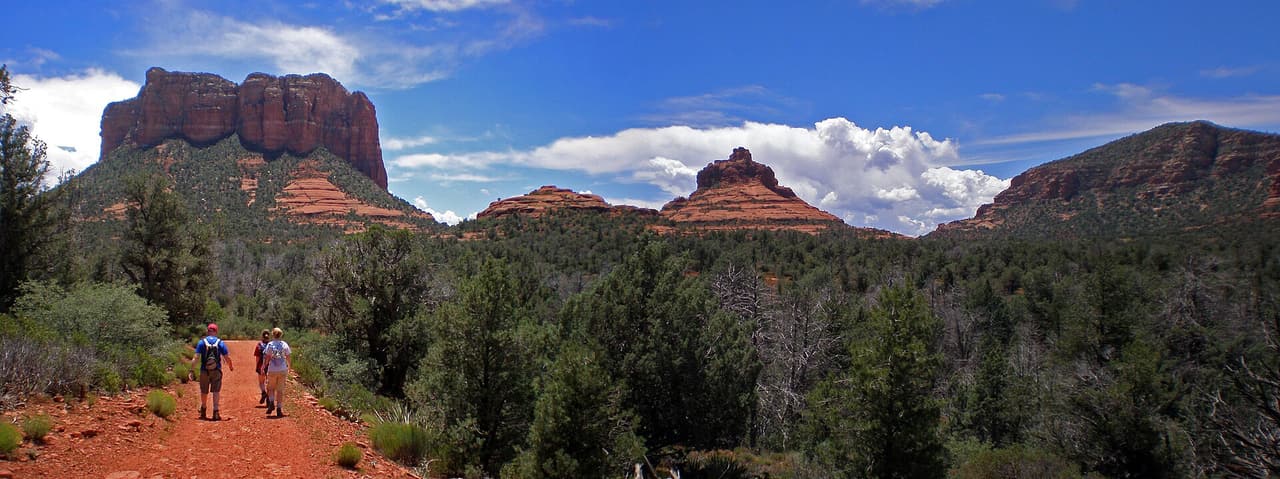
David Miller Trail, Sedona deborah.soltesz (CC0-1.0)
Sedona · Trails

Look for trail 164 on forest signs and maps. That is David Miller Trail, a route of roughly 0.98 miles inside the Coconino National Forest. The Red Rock Ranger District manages it. The surface is native material, which means packed dirt and rock rather than paving. Slopes fall in the 12 to 20 percent band, and the route is rated trail class 1. Bring more water than you think the walk needs. Shade can be thin, so an early start makes the walk easier in hot months. Pack out everything you carry in, food scraps included.

Verified Verified
Sedona · Trails

About 1.68 miles long, Dawa Trail runs through the Coconino National Forest and falls under the Red Rock Ranger District. The number on the sign is 188. Underfoot it is native material: dirt and rock, not pavement. Grade sits in the 5 to 8 percent range. Trail class is 3. Start back with enough daylight left to finish. Wear shoes with grip and take care on loose rock. Phone service is patchy out here, so save a map to your phone first. Step to the side and let horses pass when you meet riders.

Verified Verified
Dead Horse Ranch State Park Benjamin Cody (Murderbike) (CC BY-SA 3.0)
Cottonwood · Trails

Dead Horse Ranch State Park is at 675 Dead Horse Ranch Road in Cottonwood, managed by Arizona State Parks. The features listed are lagoons, fishing, canoeing, hiking trails, a campground and camping cabins, which makes it the park in this valley you can stay at rather than just visit. Entry is $10 per vehicle for one person, $20 for two to four people, and $5 to walk in or cycle. The visitor center is open 8:00 AM to 4:30 PM daily. Call (928) 634-5283 about camping, which books up, or see azstateparks.com.

Verified Verified
Clarkdale · Trails

Deadman Pocket Trail runs 5.2 miles through the Bradshaw Ranger District of Prescott National Forest, near Clarkdale. It is trail number 0117. The typical grade is 12 to 20 percent, which is the steep end of what we list anywhere in the area, so treat the distance as slower than it looks on paper. Native material underfoot, class 2. Hiking and horses are the allowed uses. Bicycles are not listed. Carry more water than you think you need for a climb this sustained, and check the forest for closures before heading out, because district conditions change with weather and fire.

Verified Verified
Clarkdale · Trails

Deadman Trail is short and steep. It covers 1.59 miles on native material, with grades in the 12 to 20 percent range, so the climbing is sustained for its length. The route is rated trail class 1, the roughest built class, meaning a faint and narrow tread in places where route finding matters. It is open to hiking, horseback riding and bicycles, and is numbered 29 under Kaibab National Forest. Sturdy footwear helps, and a trail map is worth carrying because a class 1 path can be easy to lose. Check with the forest for closures and conditions before you drive out.

Verified Verified
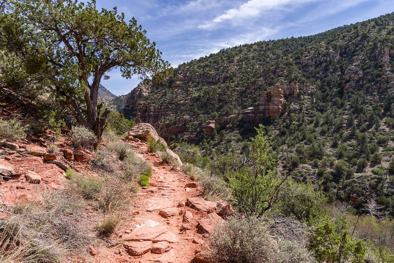
Sedona · Trails

The Red Rock Ranger District keeps up Deadmans Pass Trail, one of many routes on the Coconino National Forest. It measures close to 1.18 miles and carries the number 110. The tread is native material, so expect dirt and rock the whole way. Climbs and descents work out to 5 to 8 percent, and the route is logged at trail class 2. Carry your own water, because there is none to fill up along the way. Storms and snow change conditions fast, so ask the ranger district about closures before you drive out.

Verified Verified
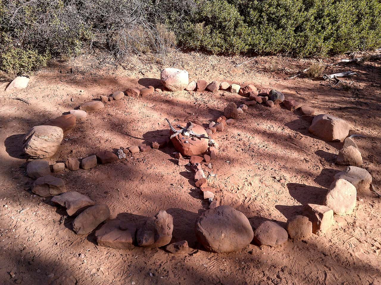
Sedona · Trails

Devils Bridge Extension Trail is 0.1 miles near Sedona, in the Red Rock Ranger District of Coconino National Forest, as trail number 196A. At a tenth of a mile this is the shortest trail we publish, and the letter marks it as an extension of a longer numbered route. The typical grade is 5 to 8 percent, the surface is native material, and the trail class is 2. The allowed uses are not posted, so ask before you ride. It exists to join two things on a map rather than to be walked for itself.

Verified Verified
Devils Bridge Trail, Sedona davidpinter (CC BY 3.0)
Sedona · Trails

Devils Bridge Trail is a 0.8 mile route numbered 120 on the Coconino National Forest. Day to day care falls to the Red Rock Ranger District. Native material is the surface here, which is to say plain dirt and stone. Grades of 5 to 8 percent give a sense of how steep the walking gets. The trail class is 2. Shade can be thin, so an early start makes the walk easier in hot months. Pack out everything you carry in, food scraps included. Temperatures swing a lot between morning and afternoon, so dress in layers.

Verified Verified
Doe Mountain Trail, Sedona Coconino NF Photography (CC0-1.0)
Sedona · Trails

Trail class 2, grade 12 to 20 percent, and a length near 0.76 miles: that is the shape of Doe Mountain Trail. It lies on the Coconino National Forest, in the Red Rock Ranger District, and shows up on maps as trail 60. Nothing is paved. The surface is native material, dirt and rock as found. Wear shoes with grip and take care on loose rock. Phone service is patchy out here, so save a map to your phone first. Step to the side and let horses pass when you meet riders.

Verified Verified
Cornville · Trails

Dog Leg Link Trail is a short connector in the Cornville area of Arizona. It runs about 0.51 miles, which is a few minutes of walking for most people. The grade is 0 to 5 percent, so it is close to flat. The tread is native material, meaning dirt and rock instead of pavement. It carries the number 1000C and a trail class of 3. The trail lies in the Red Rock Ranger District of the Coconino National Forest. A link trail joins longer routes, so it works as part of a bigger walk rather than on its own. Check the forest website for closures, and carry your own water.

Verified Verified
Clarkdale · Trails

Dogie Trail covers 5.4 miles on native material, so the surface is dirt and rock the whole way. Grades run 5 to 8 percent, a steady grade rather than a steep one, though the distance makes it a half day for most walkers. It is rated trail class 2, a built path that stays rough in spots. The route carries number 116 and is managed by the Red Rock Ranger District of Coconino National Forest. There is no posted water, so carry your own and start early in warm months. Ask the ranger district about closures and current conditions before you go.

Verified Verified
Sedona · Trails

Dry Creek Trail covers about 2.7 miles and is signed as trail 52. It sits on the Coconino National Forest and is looked after by the Red Rock Ranger District. Expect native material underfoot rather than a built or paved path. Grades run between 5 and 8 percent, so expect that much climb and drop. Forest records put it at trail class 2. Storms and snow change conditions fast, so ask the ranger district about closures before you drive out. Small lots fill early on weekends and holidays. Stay on the worn tread to keep the soil and plants around it intact.

Verified Verified
Village of Oak Creek · Trails

Easy Breezy Trail is a public forest path of roughly 1.98 miles close to the Village of Oak Creek, Arizona. Its surface is native material and its grade is given as 5-8%. The rating is trail class 2, and the number on the signs is 192. Day to day care comes from the Red Rock Ranger District of the Coconino National Forest. Phone service is not reliable on forest land, so save a map before you leave town. Plan a turnaround time, and turn back early if the light or the weather changes.

Verified Verified
Village of Oak Creek · Trails

About 4 miles long, Elmerville Spur a Trail sits on Coconino National Forest land near the Village of Oak Creek, Arizona. The Red Rock Ranger District keeps it up. Look for the number 115A where routes meet. The path is made of native material, rated trail class 1, and rises at a grade of 5-8%. Match the trail number to the signs at junctions so you stay on the route you meant to take. Read the rules posted at the trailhead, since not every route is open to bikes, horses, or dogs.

Verified Verified
Village of Oak Creek · Trails

Near the Village of Oak Creek, Arizona, Elmerville Spur C Trail covers about 2.52 miles. Grade is 5-8% and the walking surface is native material. The route holds a trail class 1 rating and is numbered 115C. It lies in the Coconino National Forest, in the Red Rock Ranger District. Plan a turnaround time, and turn back early if the light or the weather changes. Check current conditions before you go, because weather, fire, or repair work can close a route. Carry water and tell someone where you plan to walk.

Verified Verified
Village of Oak Creek · Trails

Elmerville Spur E Trail runs about 0.64 miles through the red rock country around the Village of Oak Creek, Arizona. The grade is listed at 5-8%, so there is some climbing but nothing sustained for long. Walkers cross native material. It is signed as trail number 115E and rated trail class 1. The Red Rock Ranger District of the Coconino National Forest takes care of it. Check current conditions before you go, because weather, fire, or repair work can close a route. Carry water and tell someone where you plan to walk.

Verified Verified
Village of Oak Creek · Trails

Elmerville Spur K Trail is 2.5 miles near Village of Oak Creek, in the Red Rock Ranger District of Coconino National Forest, as trail number 115K. It is one of the longer lettered spurs off the route numbered 115. Expect native material and a typical grade of 5 to 8 percent. The trail class is 1, the least developed class, which at two and a half miles means real navigation rather than following signs. The permitted uses are not posted here. Take a map and tell someone your route.

Verified Verified
Cornville · Trails

Elmerville Spur M Trail is a short spur in the Cornville area of Arizona. It runs about 1.33 miles and climbs at a grade of 5 to 8 percent, so there is some steady uphill. The tread is native material, so it is dirt and rock underfoot. It carries the number 115M and a trail class of 1. The route lies in the Red Rock Ranger District of the Coconino National Forest. A spur leads off a main route, so look at a map of the wider trail system before you set out. Bring a map you can read without a phone signal, and carry your own water.

Verified Verified
Village of Oak Creek · Trails

Trail number 115R carries the name Elmerville Spur R Trail. It covers about 1.9 miles on public land near the Village of Oak Creek, Arizona. The route is built on native material and is rated trail class 1. Grade on the path is given as 5-8%. Care of the trail falls to the Red Rock Ranger District of the Coconino National Forest. Carry water and tell someone where you plan to walk. Wear shoes with good grip and give yourself time to get back. Match the trail number to the signs at junctions so you stay on the route you meant to take.

Verified Verified
Village of Oak Creek · Trails

Hikers near the Village of Oak Creek, Arizona, know Elmerville Spur S Trail as a route of about 0.76 miles. It is trail class 1, with a grade of 5-8% and a tread of native material. Signs on the ground call it 115S. The Coconino National Forest manages it through its Red Rock Ranger District. Wear shoes with good grip and give yourself time to get back. Match the trail number to the signs at junctions so you stay on the route you meant to take.

Verified Verified
Rimrock · Trails

Elmore Wash Trail covers about 1.99 miles on public land near Rimrock, Arizona. It is signed as trail number 1006B. Grades run 0-5%, which keeps the walking close to flat and makes this a reasonable choice for a relaxed outing or a family walk. A trail class of 3 marks it as one of the more developed routes nearby, generally wider and simpler to follow than the rough paths in the area. The Coconino National Forest holds this ground, through its Red Rock Ranger District. Carry water, wear shoes you do not mind getting dusty, and check the weather before you set out.

Verified Verified
Fay Canyon Trail, Sedona davidpinter (CC BY 3.0)
Sedona · Trails

Look for trail 53 on forest signs and maps. That is Fay Canyon Trail, a route of roughly 1.12 miles inside the Coconino National Forest. The Red Rock Ranger District manages it. The surface is native material, which means packed dirt and rock rather than paving. Slopes fall in the 0 to 5 percent band, and the route is rated trail class 3. Pack out everything you carry in, food scraps included. Temperatures swing a lot between morning and afternoon, so dress in layers. Tell someone where you are going and when you plan to be back.

Verified Verified
Sedona · Trails

Frog Tank D Trail is 0.34 miles near Sedona, in the Mogollon Rim Ranger District of Coconino National Forest, as trail number 245D. The letter marks it as a branch of the loop numbered 245, and at a third of a mile it is a link within that network. The typical grade is 5 to 8 percent, the surface is native material, and the trail class is 3. The allowed uses are not posted for this one, so ask before you ride. This district covers different country from the trails nearer town, so ask that office.

Verified Verified
Sedona · Trails

About 2.9 miles long, Frog Tank Loop runs through the Coconino National Forest and falls under the Mogollon Rim Ranger District. The number on the sign is 245. Underfoot it is native material: dirt and rock, not pavement. Grade sits in the 5 to 8 percent range. Trail class is 3. Phone service is patchy out here, so save a map to your phone first. Step to the side and let horses pass when you meet riders. Sun is strong most of the year, so a hat and sunscreen help.

Verified Verified
Jerome · Trails

Hikers, riders on horseback and cyclists all share Gaddes 2 Trail, which runs 2.39 miles over native dirt near Jerome, Arizona. The grade stays gentle, between 5 and 8 percent, so the climbing is moderate next to the steeper routes on the mountain. It is rated trail class 3, meaning the tread is wider and better defined than a rough backcountry path. The route carries number 9037 and falls under the Verde Ranger District of the Prescott National Forest. Check with the district for seasonal closures, fire restrictions and current conditions before you set out, and pack water for the whole trip.

Verified Verified
Jerome · Trails

Gaddes Trail is 2.58 miles near Jerome, in the Verde Ranger District of Prescott National Forest, as trail number 0110. The typical grade is 10 to 12 percent, which is steep for the distance and means slow going in the uphill direction. It is class 3, on native material. Hiking, horses and bicycles are the allowed uses. A separate and gentler Gaddes trail runs nearby, so check the number on the sign at the junction. Trailhead directions are not posted for this one, so ask the district office.

Verified Verified
Camp Verde · Trails

General Crook Trail covers about 11.43 miles in the Prescott National Forest. The Verde Ranger District manages it, and it is numbered 0064. Hiking, horseback riding and bicycles are all allowed. The surface is native material, dirt and rock rather than pavement, and grades run between 5 and 8 percent, a steady climb without anything sharp. It is rated trail class 2, a plain path. At this length, most people walk a section rather than the whole route, so plan where to start and turn around. Ask the Verde Ranger District about water, conditions and closures first.

Verified Verified
Rimrock · Trails

General George Crook Trail is a long route, about 38.83 miles, reaching the country near Rimrock, Arizona. Most people walk or ride a section rather than the whole thing. It is signed as trail number 130, and grades fall in the 5-8% range, steady rather than sharp. The surface is native material, so the tread is dirt and rock. A trail class of 2 means a simply built path with limited signs, so a map and some route planning help. The Red Rock Ranger District of the Coconino National Forest manages it. Plan water stops ahead of time and leave your route with someone at home.

Verified Verified
Sedona · Trails

Signed as trail 580, Geronimo Trail stretches 1.36 miles in the Mogollon Rim Ranger District of the Coconino National Forest near Sedona, Arizona. It is held to class 2 standards. Loose rock turns up after storms, so watch your step on the downhill side. Take water for everyone in your group, and turn back if the weather changes. Check with the Mogollon Rim Ranger District for closures, fire limits, and parking rules before you drive out. Cell service is patchy out here, so download or print what you need before you leave town.

Verified Verified
Girdner Trail, Sedona Coconino NF Photography (public-domain)
Sedona · Trails

The Red Rock Ranger District keeps up Girdner Trail, one of many routes on the Coconino National Forest. It measures close to 5.01 miles and carries the number 162. The tread is native material, so expect dirt and rock the whole way. Climbs and descents work out to 5 to 8 percent, and the route is logged at trail class 2. Small lots fill early on weekends and holidays. Stay on the worn tread to keep the soil and plants around it intact. Footing gets slick for a while after rain. Carry your own water, because there is none to fill up along the way.

Verified Verified
Rimrock · Trails

Golden Gulch Trail is a short walk near Rimrock, Arizona, about 0.75 miles long and signed as trail number 1005B. Grades of 0-5% keep it close to level from end to end, so the effort is low and the pace can be easy. Its trail class of 3 puts it among the more developed paths around, which usually means a clear, wider tread. This is Red Rock Ranger District land, on the Coconino National Forest. This length fits an hour outdoors or a warm up before something longer. Bring water in hot months and check for closures or fire limits first.

Verified Verified
Clarkdale · Trails

Government Canyon Trail runs 1.6 miles near Clarkdale, in the Bradshaw Ranger District of Prescott National Forest. Its number is 0073. The typical grade is 0 to 5 percent, the flattest band we list, which makes this one of the easier walks in the set on paper. Native material underfoot, class 2. Hiking, horses and bicycles are the allowed uses. A short, gentle trail is a reasonable choice with children or an out of shape dog. Trailhead parking details are not posted or a water source for it, so check the district first.

Verified Verified
Sedona · Trails

Grand Central Trail is a 2 mile route numbered 661 on the Coconino National Forest. Day to day care falls to the Red Rock Ranger District. Native material is the surface here, which is to say plain dirt and stone. Grades of 8 to 10 percent give a sense of how steep the walking gets. The trail class is 2. Temperatures swing a lot between morning and afternoon, so dress in layers. Tell someone where you are going and when you plan to be back. Bring more water than you think the walk needs.

Verified Verified
Cornville · Trails

Grapevine Trail is a short route in the Cornville area of Arizona. It runs about 1.53 miles. The grade sits between 5 and 8 percent, so there is steady climbing in places. The tread is native material, which means dirt and rock rather than pavement. It carries the number 0543 and a trail class of 3. Hikers, horse riders, bicycles, and atv riders are all allowed, so watch for other users around blind corners. The route lies in the Verde Ranger District of the Prescott National Forest. Look up current conditions, closures, and fire restrictions on the forest website before you drive out, and carry your own water.

Verified Verified
Clarkdale · Trails

Great Western Trail is the long one here, at 16.8 miles on native material. Grades reach 10 to 12 percent, and the route is rated trail class 4, the most developed class, so the tread is wider and easier to follow than on a rough single track. It is open to hiking, horseback riding, bicycles and 4wd travel, which means you can meet vehicles along the way. The route is numbered 150 and sits under Kaibab National Forest. Plan fuel, water and daylight for the full length, or ride a section out and back. Check the forest for closures before heading out.

Verified Verified
Sedona · Trails

Trail class 2, grade 12 to 20 percent, and a length near 0.91 miles: that is the shape of Harding Springs Trail. It lies on the Coconino National Forest, in the Red Rock Ranger District, and shows up on maps as trail 51. Nothing is paved. The surface is native material, dirt and rock as found. Step to the side and let horses pass when you meet riders. Sun is strong most of the year, so a hat and sunscreen help. Start back with enough daylight left to finish. Wear shoes with grip and take care on loose rock.

Verified Verified
Clarkdale · Trails

Henderson Trail covers 4.4 miles near Clarkdale, in the Bradshaw Ranger District of Prescott National Forest, as trail number 0053. The typical grade is 0 to 5 percent, the flattest band are listed, which is unusual for a trail of this length here and makes the distance more approachable than it sounds. It is class 2, on native material. Hiking and horses are listed as allowed uses; bicycles are not. That combination often means a quieter trail. Trailhead directions and water information are not posted, so check with the district office before driving out, especially after storms.

Verified Verified
Sedona · Trails

Herkenham Trail covers about 1.04 miles and is signed as trail 202. It sits on the Coconino National Forest and is looked after by the Red Rock Ranger District. Expect native material underfoot rather than a built or paved path. Grades run between 10 and 12 percent, so expect that much climb and drop. Forest records put it at trail class 2. Stay on the worn tread to keep the soil and plants around it intact. Footing gets slick for a while after rain. Carry your own water, because there is none to fill up along the way.

Verified Verified
Village of Oak Creek · Trails

Hermit Trail is a public forest path of roughly 0.3 miles close to the Village of Oak Creek, Arizona. Its surface is native material and its grade is given as 5-8%. The rating is trail class 2, and the number on the signs is 172E. Day to day care comes from the Red Rock Ranger District of the Coconino National Forest. Read the rules posted at the trailhead, since not every route is open to bikes, horses, or dogs. Park only in marked spaces and pack out everything you bring in.

Verified Verified
High on the Hog Trail, Sedona Pranav Bijapur (CC BY 2.0)
Sedona · Trails

High on the Hog Trail is 0.32 miles near Sedona, in the Red Rock Ranger District of Coconino National Forest, as trail number 125E. The letter puts it in the family of trails that share the number 125, several of which carry hog in the name. The typical grade is 10 to 12 percent, which is steep for a third of a mile, and the surface is native material. It is a class 2 trail. The permitted uses are not posted here. Read it on the map as one piece of that network.

Verified Verified
Village of Oak Creek · Trails

Near the Village of Oak Creek, Arizona, Hiline Trail covers about 3.11 miles. Grade is 8-10% and the walking surface is native material. The route holds a trail class 2 rating and is numbered 193. It lies in the Coconino National Forest, in the Red Rock Ranger District. Park only in marked spaces and pack out everything you bring in. Phone service is not reliable on forest land, so save a map before you leave town. Plan a turnaround time, and turn back early if the light or the weather changes.

Verified Verified
Sedona · Trails

Look for trail 125D on forest signs and maps. That is Hog Heaven Trail, a route of roughly 0.9 miles inside the Coconino National Forest. The Red Rock Ranger District manages it. The surface is native material, which means packed dirt and rock rather than paving. Slopes fall in the 10 to 12 percent band, and the route is rated trail class 2. Tell someone where you are going and when you plan to be back. Bring more water than you think the walk needs. Shade can be thin, so an early start makes the walk easier in hot months.

Verified Verified
Sedona · Trails

About 2.19 miles long, Hog Hill Trail runs through the Coconino National Forest and falls under the Mogollon Rim Ranger District. The number on the sign is 133. Underfoot it is native material: dirt and rock, not pavement. Grade sits in the 12 to 20 percent range. Trail class is 2. Sun is strong most of the year, so a hat and sunscreen help. Start back with enough daylight left to finish. Wear shoes with grip and take care on loose rock. Phone service is patchy out here, so save a map to your phone first.

Verified Verified
Sedona · Trails

The Red Rock Ranger District keeps up Hog Wash Trail, one of many routes on the Coconino National Forest. It measures close to 1.48 miles and carries the number 125C. The tread is native material, so expect dirt and rock the whole way. Climbs and descents work out to 10 to 12 percent, and the route is logged at trail class 2. Footing gets slick for a while after rain. Carry your own water, because there is none to fill up along the way. Storms and snow change conditions fast, so ask the ranger district about closures before you drive out.

Verified Verified
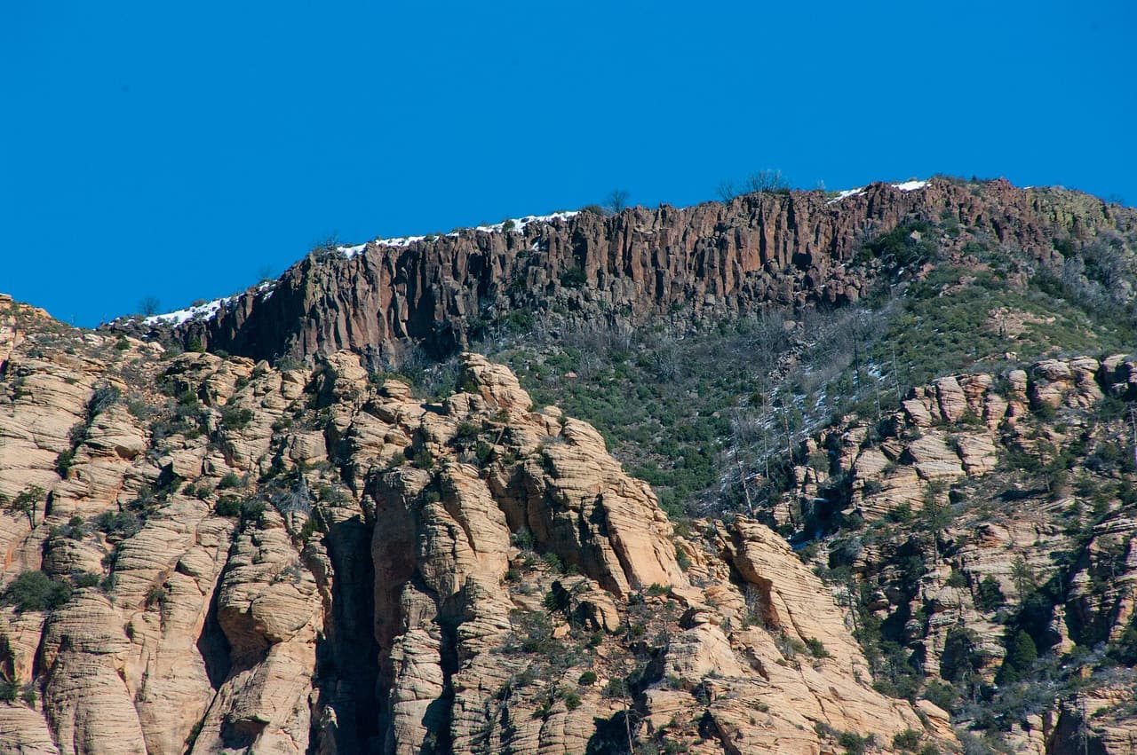
Sedona · Trails

Honanki Trail is a 0.2 mile route numbered 79 on the Coconino National Forest. Day to day care falls to the Red Rock Ranger District. Native material is the surface here, which is to say plain dirt and stone. Grades of 5 to 8 percent give a sense of how steep the walking gets. The trail class is 4. Bring more water than you think the walk needs. Shade can be thin, so an early start makes the walk easier in hot months. Pack out everything you carry in, food scraps included. Temperatures swing a lot between morning and afternoon, so dress in layers.

Verified Verified
Village of Oak Creek · Trails

Hot Loop is 11.24 miles near Village of Oak Creek, in the Red Rock Ranger District of Coconino National Forest, as trail number 40. It is a loop, so no shuttle is needed, but the numbers deserve reading together: eleven miles at a typical grade of 12 to 20 percent, the steepest band are listed. That is a long, hard day by any measure. Native material underfoot, class 2. The permitted uses are not posted here. Start early, carry more water than feels sensible, and tell someone your plan.

Verified Verified
Village of Oak Creek · Trails

Hot Loop a runs about 1.52 miles through the red rock country around the Village of Oak Creek, Arizona. The grade is listed at 5-8%, so there is some climbing but nothing sustained for long. Walkers cross native material. It is signed as trail number 40A and rated trail class 2. The Red Rock Ranger District of the Coconino National Forest takes care of it. Phone service is not reliable on forest land, so save a map before you leave town. Plan a turnaround time, and turn back early if the light or the weather changes.

Verified Verified
Sedona · Trails

Howard Spur Trail covers 3.38 miles inside the Mogollon Rim Ranger District of the Coconino National Forest, on the public land around Sedona, Arizona. It carries the number 234A and is held to class 3 standards. Cool mornings are the easier time to walk it, and light fades quickly in the canyons. Sturdy shoes help, and so does an early start in summer. Ask the Mogollon Rim Ranger District about current conditions and where you may park at the start. Weekend mornings draw the most people, and midweek is quieter.

Verified Verified
Sedona · Trails

A short drive from Sedona, Arizona, Howard Trail runs 6.03 miles through the Coconino National Forest and is looked after by the Mogollon Rim Ranger District. It carries the number 234 and is held to class 3 standards. Other people share the path, so listen for riders and bikes coming from behind. Bring more water than you think you need, and tell someone your plan. Call the Mogollon Rim Ranger District first if you want to know about fire limits or a temporary closure. Distances shown are for the path itself, not for any loop you piece together with other trails.

Verified Verified
Sedona · Trails

Trail class 2, grade 5 to 8 percent, and a length near 1.6 miles: that is the shape of Hs Canyon Trail. It lies on the Coconino National Forest, in the Red Rock Ranger District, and shows up on maps as trail 50. Nothing is paved. The surface is native material, dirt and rock as found. Start back with enough daylight left to finish. Wear shoes with grip and take care on loose rock. Phone service is patchy out here, so save a map to your phone first. Step to the side and let horses pass when you meet riders.

Verified Verified
Village of Oak Creek · Trails

Trail number 197 carries the name Ht Trail. It covers about 0.78 miles on public land near the Village of Oak Creek, Arizona. The route is built on native material and is rated trail class 2. Grade on the path is given as 5-8%. Care of the trail falls to the Red Rock Ranger District of the Coconino National Forest. Plan a turnaround time, and turn back early if the light or the weather changes. Check current conditions before you go, because weather, fire, or repair work can close a route.

Verified Verified
Huckaby Trail, Sedona Brady Smith; Coconino National Forest (CC BY-SA 2.0)
Sedona · Trails

Huckaby Trail covers about 2.97 miles and is signed as trail 161. It sits on the Coconino National Forest and is looked after by the Red Rock Ranger District. Expect native material underfoot rather than a built or paved path. Grades run between 5 and 8 percent, so expect that much climb and drop. Forest records put it at trail class 2. Carry your own water, because there is none to fill up along the way. Storms and snow change conditions fast, so ask the ranger district about closures before you drive out.

Verified Verified
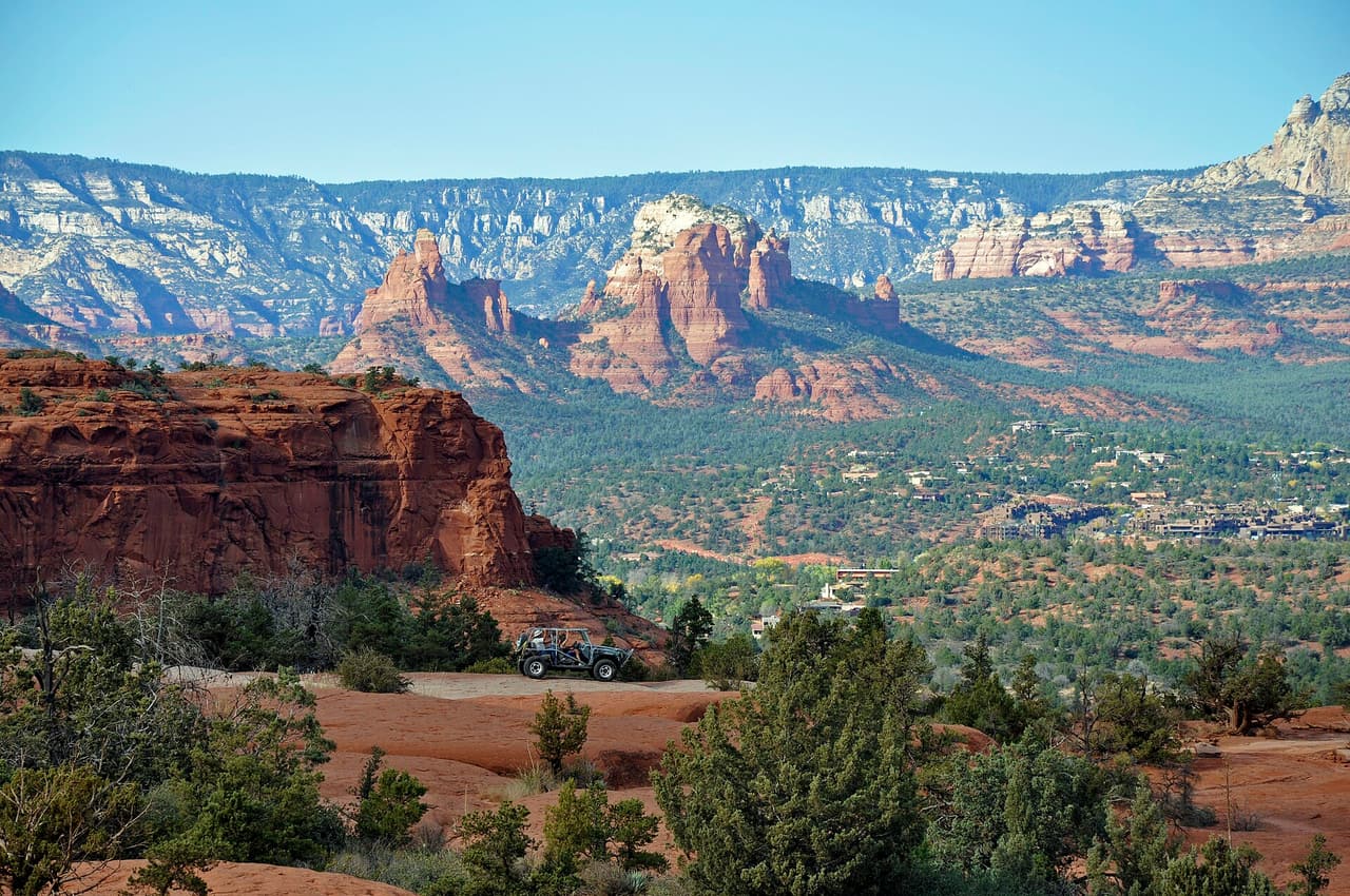
Sedona · Trails

Look for trail 245C on forest signs and maps. That is Interstate Trail, a route of roughly 10.59 miles inside the Coconino National Forest. The Mogollon Rim Ranger District manages it. The surface is native material, which means packed dirt and rock rather than paving. Slopes fall in the 5 to 8 percent band, and the route is rated trail class 3. Shade can be thin, so an early start makes the walk easier in hot months. Pack out everything you carry in, food scraps included. Temperatures swing a lot between morning and afternoon, so dress in layers.

Verified Verified
Sedona · Trails

About 1.08 miles long, Iron Springs Connector Trail runs through the Coconino National Forest and falls under the Mogollon Rim Ranger District. The number on the sign is 244. Underfoot it is native material: dirt and rock, not pavement. Grade sits in the 5 to 8 percent range. Trail class is 3. Wear shoes with grip and take care on loose rock. Phone service is patchy out here, so save a map to your phone first. Step to the side and let horses pass when you meet riders. Sun is strong most of the year, so a hat and sunscreen help.

Verified Verified
Jacks Canyon Trail, Village of Oak Creek Coconino NF Photography (CC0-1.0)
Village of Oak Creek · Trails

Hikers near the Village of Oak Creek, Arizona, know Jacks Canyon Trail as a route of about 6.62 miles. It is trail class 2, with a grade of 10-12% and a tread of native material. Signs on the ground call it 55. The Coconino National Forest manages it through its Red Rock Ranger District. Check current conditions before you go, because weather, fire, or repair work can close a route. Carry water and tell someone where you plan to walk. Wear shoes with good grip and give yourself time to get back.

Verified Verified
Sedona · Trails

The Mogollon Rim Ranger District keeps up Janice Place Trail, one of many routes on the Coconino National Forest. It measures close to 0.23 miles and carries the number 245A. The tread is native material, so expect dirt and rock the whole way. Climbs and descents work out to 5 to 8 percent, and the route is logged at trail class 3. Storms and snow change conditions fast, so ask the ranger district about closures before you drive out. Small lots fill early on weekends and holidays. Stay on the worn tread to keep the soil and plants around it intact.

Verified Verified
Sedona · Trails

Javelina Trail is a 1.17 mile route numbered 662 on the Coconino National Forest. Day to day care falls to the Red Rock Ranger District. Native material is the surface here, which is to say plain dirt and stone. Grades of 8 to 10 percent give a sense of how steep the walking gets. The trail class is 3. Pack out everything you carry in, food scraps included. Temperatures swing a lot between morning and afternoon, so dress in layers. Tell someone where you are going and when you plan to be back.

Verified Verified
Village of Oak Creek · Trails

About 1.76 miles long, Jim Bryant Trail sits on Coconino National Forest land near the Village of Oak Creek, Arizona. The Red Rock Ranger District keeps it up. Look for the number 199 where routes meet. The path is made of native material, rated trail class 2, and rises at a grade of 5-8%. Carry water and tell someone where you plan to walk. Wear shoes with good grip and give yourself time to get back. Match the trail number to the signs at junctions so you stay on the route you meant to take.

Verified Verified
Jim Thompson Trail, Sedona Deborah Lee Soltesz (CC0-1.0)
Sedona · Trails

Trail class 2, grade 5 to 8 percent, and a length near 2.67 miles: that is the shape of Jim Thompson Trail. It lies on the Coconino National Forest, in the Red Rock Ranger District, and shows up on maps as trail 124. Nothing is paved. The surface is native material, dirt and rock as found. Phone service is patchy out here, so save a map to your phone first. Step to the side and let horses pass when you meet riders. Sun is strong most of the year, so a hat and sunscreen help.

Verified Verified
Sedona · Trails

Jordan Spur a Trail is 0.19 miles near Sedona, in the Red Rock Ranger District of Coconino National Forest, as trail number 186A. The letter marks it as a spur off the route numbered 186, and at under a fifth of a mile it is exactly that: a short branch, not an outing. The typical grade is 8 to 10 percent, the surface is native material, and the trail class is 3. The allowed uses are not posted for this one, so ask before you ride. Plan the trail it leaves from instead.

Verified Verified
Sedona · Trails

Jordan Trail covers about 1.72 miles and is signed as trail 186. It sits on the Coconino National Forest and is looked after by the Red Rock Ranger District. Expect native material underfoot rather than a built or paved path. Grades run between 8 and 10 percent, so expect that much climb and drop. Forest records put it at trail class 3. Small lots fill early on weekends and holidays. Stay on the worn tread to keep the soil and plants around it intact. Footing gets slick for a while after rain.

Verified Verified
Sedona · Trails

This is a 1.38 mile path in the Coconino National Forest. It sits in the Mogollon Rim Ranger District, within reach of Sedona, Arizona. It carries the number 231B and is held to class 3 standards. Mark where you leave the car. Junctions look alike once you are in the trees. Bring water and sun cover, and start early when the days are warm. Conditions change with storms and fire season, so check with the Mogollon Rim Ranger District before the drive. Time on foot depends on your pace, the heat, and how often you stop to look around.

Verified Verified
Village of Oak Creek · Trails

Kaibab Trail is a public forest path of roughly 0.15 miles close to the Village of Oak Creek, Arizona. Its surface is native material and its grade is given as 5-8%. The rating is trail class 3, and the number on the signs is 172A. Day to day care comes from the Red Rock Ranger District of the Coconino National Forest. Wear shoes with good grip and give yourself time to get back. Match the trail number to the signs at junctions so you stay on the route you meant to take.

Verified Verified
Village of Oak Creek · Trails

Near the Village of Oak Creek, Arizona, Kel Fox Trail covers about 1.72 miles. Grade is 5-8% and the walking surface is native material. The route holds a trail class 2 rating and is numbered 195. It lies in the Coconino National Forest, in the Red Rock Ranger District. Match the trail number to the signs at junctions so you stay on the route you meant to take. Read the rules posted at the trailhead, since not every route is open to bikes, horses, or dogs.

Verified Verified
Kelsey Trail, Sedona deborah.soltesz (CC0-1.0)
Sedona · Trails

Look for trail 3 on forest signs and maps. That is Kelsey Trail, a route of roughly 5.6 miles inside the Coconino National Forest. The Mogollon Rim Ranger District manages it. The surface is native material, which means packed dirt and rock rather than paving. Slopes fall in the 12 to 20 percent band, and the route is rated trail class 2. Temperatures swing a lot between morning and afternoon, so dress in layers. Tell someone where you are going and when you plan to be back. Bring more water than you think the walk needs.

Verified Verified
Camp Verde · Trails

Ladders Trail is a short route in the Prescott National Forest, just 0.21 miles long, managed by the Verde Ranger District and numbered 0016. Hiking, horseback riding and bicycles are all allowed. It is steep for its length, with grades from 12 to 20 percent, so the short distance does not make it easy. The surface is native material, dirt and rock. It is rated trail class 2. A route this short usually links two longer ones rather than standing on its own, so look at what it connects to. Ask the Verde Ranger District about conditions.

Verified Verified
Sedona · Trails

Last Frontier Trail is public land walking in the Coconino National Forest, 2.86 miles of it, managed by the Red Rock Ranger District close to Sedona, Arizona. Grades of 0-5% mean the miles stay close to level. It carries the number 1012D and is held to class 3 standards. Rain and snowmelt can leave the footing slick, and washes may hold water for a day or two. Pack water and a hat. Shade comes and goes, and afternoons heat up fast. The Red Rock Ranger District can tell you about closures and any pass you need to leave a car at the start.

Verified Verified
Sedona · Trails

About 9.58 miles long, Leap Frog Trail runs through the Coconino National Forest and falls under the Mogollon Rim Ranger District. The number on the sign is 246. Underfoot it is native material: dirt and rock, not pavement. Grade sits in the 5 to 8 percent range. Trail class is 3. Step to the side and let horses pass when you meet riders. Sun is strong most of the year, so a hat and sunscreen help. Start back with enough daylight left to finish. Wear shoes with grip and take care on loose rock.

Verified Verified
Sedona · Trails

Signed as trail 1012B, Ledge N Airy Trail stretches 0.8 miles in the Red Rock Ranger District of the Coconino National Forest near Sedona, Arizona. Grades of 0-5% mean the miles stay close to level. It is held to class 3 standards. Loose rock turns up after storms, so watch your step on the downhill side. Take water for everyone in your group, and turn back if the weather changes. Check with the Red Rock Ranger District for closures, fire limits, and parking rules before you drive out.

Verified Verified
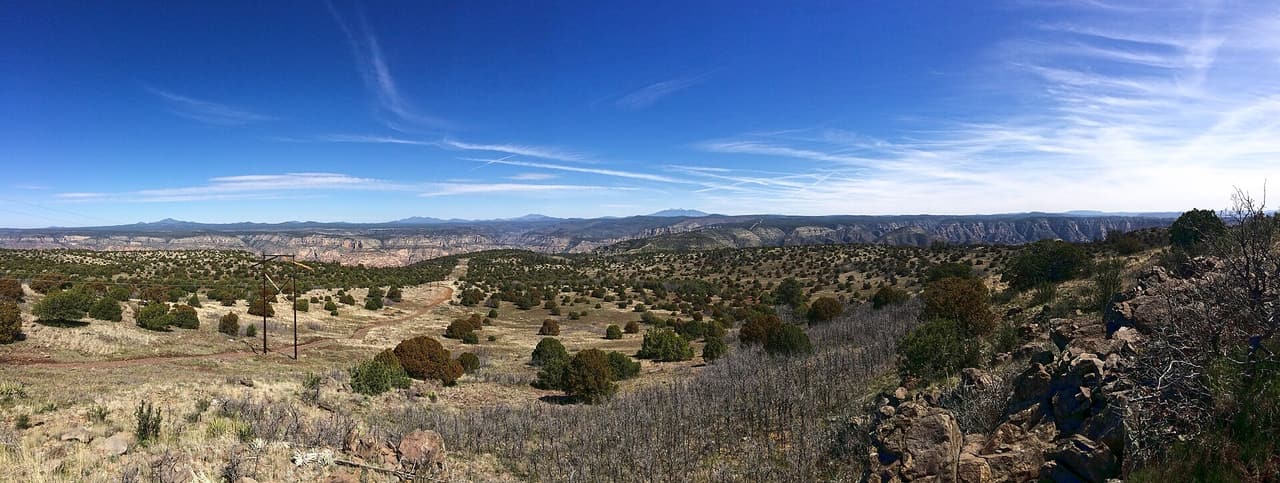
Cornville · Trails

Lime Kiln Trail is the longest trail listed here at 15.24 miles, near Cornville, in the Red Rock Ranger District of Coconino National Forest. It is trail number 82. The typical grade is 5 to 8 percent, moderate, which is the only reason a distance like that is walkable in a day at all. It is class 2, on native material. The allowed uses are not posted, so ask before you ride. Fifteen miles in this country is a water, heat and daylight problem before it is a fitness one. Plan it with the district office rather than from a map alone.

Verified Verified
Sedona · Trails

Little Horse Trail is 8.22 miles near Sedona, in the Mogollon Rim Ranger District of Coconino National Forest, as trail number 247. The typical grade is 12 to 20 percent, the steep end of those listed here, and over eight miles that is a serious day by any measure. The tread is native material; the class is 3. The allowed uses are not posted for this one, so ask before you ride. Treat the distance and the grade as one number rather than two, start early, and ask the district office about conditions.

Verified Verified
Village of Oak Creek · Trails

Little Rock Trail runs about 2.39 miles through the red rock country around the Village of Oak Creek, Arizona. The grade is listed at 5-8%, so there is some climbing but nothing sustained for long. Walkers cross native material. It is signed as trail number 148 and rated trail class 2. The Red Rock Ranger District of the Coconino National Forest takes care of it. Read the rules posted at the trailhead, since not every route is open to bikes, horses, or dogs. Park only in marked spaces and pack out everything you bring in.

Verified Verified
Sedona · Trails

The Mogollon Rim Ranger District keeps up Little Round Mountain Spur a Trail, one of many routes on the Coconino National Forest. It measures close to 0.2 miles and carries the number 9A. The tread is native material, so expect dirt and rock the whole way. Climbs and descents work out to 5 to 8 percent, and the route is logged at trail class 1. Stay on the worn tread to keep the soil and plants around it intact. Footing gets slick for a while after rain. Carry your own water, because there is none to fill up along the way.

Verified Verified
Sedona · Trails

Little Round Mountain Trail is a 2.46 mile route numbered 9 on the Coconino National Forest. Day to day care falls to the Mogollon Rim Ranger District. Native material is the surface here, which is to say plain dirt and stone. Grades of 12 to 20 percent give a sense of how steep the walking gets. The trail class is 1. Tell someone where you are going and when you plan to be back. Bring more water than you think the walk needs. Shade can be thin, so an early start makes the walk easier in hot months.

Verified Verified
Sedona · Trails

Lizard Head Trail is 0.72 miles near Sedona, in the Red Rock Ranger District of Coconino National Forest, as trail number 165F. The letter puts it in a family of trails sharing the number 165, several of which are short links on that side of town. The typical grade is 5 to 8 percent, the surface is native material, and the trail class is 2. The allowed uses are not posted, so ask before you ride. Under three quarters of a mile, it works as part of a loop rather than alone.

Verified Verified
Llama Trail, Village of Oak Creek Coconino NF Photography (public-domain)
Village of Oak Creek · Trails

Trail number 650 carries the name Llama Trail. It covers about 2.83 miles on public land near the Village of Oak Creek, Arizona. The route is built on imported compacted material and is rated trail class 2. Grade on the path is given as 5-8%. Care of the trail falls to the Red Rock Ranger District of the Coconino National Forest. Park only in marked spaces and pack out everything you bring in. Phone service is not reliable on forest land, so save a map before you leave town.

Verified Verified
Rimrock · Trails

Long Canyon Trail stretches about 10.89 miles on public land near Rimrock, Arizona, and is signed as trail number 122. Grades run 5-8%, which spreads the climbing out instead of stacking it into short steep pitches. The tread is native material, so expect dirt and rock and some loose footing. Rated trail class 2, the path is simply built and clear to follow, though signs are sparse. It sits in the Red Rock Ranger District, part of the Coconino National Forest. The distance makes this a full outing for most people, so start early, carry enough water, and turn back with daylight to spare.

Verified Verified
Sedona · Trails

Lower Chimney Rock Trail is 1.19 miles near Sedona, in the Red Rock Ranger District of Coconino National Forest, as trail number 165A. It is one of the lettered trails off the number 165, and the word lower usually means the bottom section of a longer climb. The typical grade is 5 to 8 percent, moderate, and the surface is native material. The recorded trail class is 2. The allowed uses are not posted for this one, so ask before you ride. Check the map for how it links before you plan it alone.

Verified Verified
Clarkdale · Trails

Lower Smasher Trail is a short route at 1.5 miles, with grades of 8 to 10 percent, so it climbs steadily without going on for long. It is rated trail class 3, a more developed class than most paths nearby, which usually means a clearer and wider tread that is easier to follow. The route carries number 88 and is managed by the Red Rock Ranger District of Coconino National Forest. Its length makes it workable as a quick outing or as a link to a longer day. Check with the ranger district for closures and current conditions before you go.

Verified Verified
Loy Canyon Trail, Sedona deborah.soltesz (CC0-1.0)
Sedona · Trails

Trail class 2, grade 5 to 8 percent, and a length near 4.77 miles: that is the shape of Loy Canyon Trail. It lies on the Coconino National Forest, in the Red Rock Ranger District, and shows up on maps as trail 5. Nothing is paved. The surface is native material, dirt and rock as found. Sun is strong most of the year, so a hat and sunscreen help. Start back with enough daylight left to finish. Wear shoes with grip and take care on loose rock. Phone service is patchy out here, so save a map to your phone first.

Verified Verified
Cornville · Trails

Loy Link Trail is a short piece of trail in the Cornville area of Arizona, running about 0.82 miles. The grade is 0 to 5 percent, so it is nearly level the whole way. The surface is native material, which means packed dirt and rock rather than laid gravel or pavement. It carries the number 1004A and a trail class of 3. The Red Rock Ranger District of the Coconino National Forest manages it. Because it is a link, it is most useful joined to a longer walk. Look up conditions and closures on the forest website before driving out, and carry your own water.

Verified Verified
Village of Oak Creek · Trails

Hikers near the Village of Oak Creek, Arizona, know Made in the Shade Trail as a route of about 1.27 miles. It is trail class 2, with a grade of 5-8% and a tread of native material. Signs on the ground call it 173C. The Coconino National Forest manages it through its Red Rock Ranger District. Phone service is not reliable on forest land, so save a map before you leave town. Plan a turnaround time, and turn back early if the light or the weather changes.

Verified Verified
Mail Trail, Camp Verde deborah.soltesz (CC0-1.0)
Camp Verde · Trails

Mail Trail runs about 5.4 miles in the Coconino National Forest and is managed by the Red Rock Ranger District, which makes it one of the few routes near Camp Verde under that district rather than the Verde Ranger District. It is numbered 84. The surface is native material, dirt and rock without paving, and grades run from 5 to 8 percent, a steady climb. It is rated trail class 2, a plain path with little construction. Ask the Red Rock Ranger District about current conditions, access roads and any seasonal closures before driving out to the trailhead.

Verified Verified
Rimrock · Trails

At roughly 0.31 miles, Mallard Trail is a quick walk on public land near Rimrock, Arizona. It is signed as trail number 1005A. Grades of 0-5% mean the path stays near level, so it works as a short stroll or as a link to longer routes. A trail class of 3 marks it as one of the more developed paths in the area, usually wide and clear enough to follow without much guesswork. The Red Rock Ranger District of the Coconino National Forest manages it. Shade can be scarce, so carry water in warm weather and check current notices before you drive out.

Verified Verified
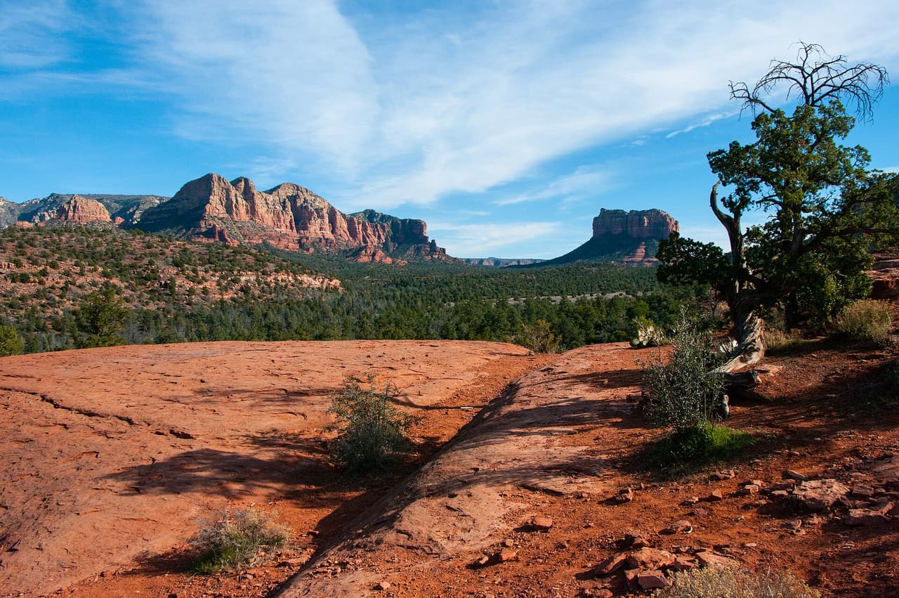
Sedona · Trails

Manzanita Trail covers about 0.61 miles and is signed as trail 675. It sits on the Coconino National Forest and is looked after by the Red Rock Ranger District. Expect native material underfoot rather than a built or paved path. Grades run between 10 and 12 percent, so expect that much climb and drop. Forest records put it at trail class 3. Footing gets slick for a while after rain. Carry your own water, because there is none to fill up along the way. Storms and snow change conditions fast, so ask the ranger district about closures before you drive out.

Verified Verified
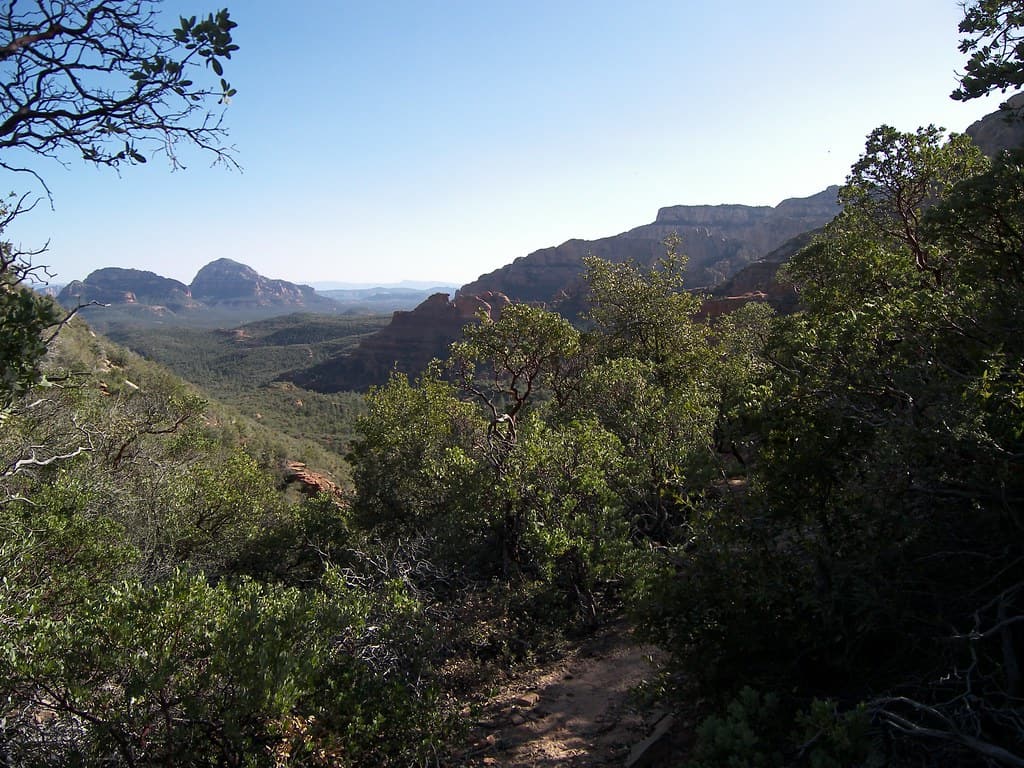
Sedona · Trails

Look for trail 163A on forest signs and maps. That is Margs Draw Spur a Trail, a route of roughly 0.43 miles inside the Coconino National Forest. The Red Rock Ranger District manages it. The surface is native material, which means packed dirt and rock rather than paving. Slopes fall in the 5 to 8 percent band, and the route is rated trail class 2. Bring more water than you think the walk needs. Shade can be thin, so an early start makes the walk easier in hot months. Pack out everything you carry in, food scraps included.

Verified Verified
Sedona · Trails

About 1.88 miles long, Margs Trail runs through the Coconino National Forest and falls under the Red Rock Ranger District. The number on the sign is 163. Underfoot it is native material: dirt and rock, not pavement. Grade sits in the 5 to 8 percent range. Trail class is 2. Start back with enough daylight left to finish. Wear shoes with grip and take care on loose rock. Phone service is patchy out here, so save a map to your phone first. Step to the side and let horses pass when you meet riders.

Verified Verified
Verde Village · Trails

Barely more than a third of a mile long, at 0.38 miles, this is a short connector rather than a day outing. Grades still reach the 10 to 12 percent band, so the little distance it covers is climbed quickly. The tread is native dirt. Bicycles, horses, and hiking are the allowed uses, with no motorized travel listed. Trail 9706 is rated class 2, meaning light construction and a simple tread. The Verde Ranger District of the Prescott National Forest manages it. Its length makes it most useful as a link between longer routes, so look at a district map before you plan around it.

Verified Verified
Sedona · Trails

The Red Rock Ranger District keeps up Mescal Connector Trail, one of many routes on the Coconino National Forest. It measures close to 0.32 miles and carries the number 174D. The tread is native material, so expect dirt and rock the whole way. Climbs and descents work out to 5 to 8 percent, and the route is logged at trail class 2. Carry your own water, because there is none to fill up along the way. Storms and snow change conditions fast, so ask the ranger district about closures before you drive out.

Verified Verified
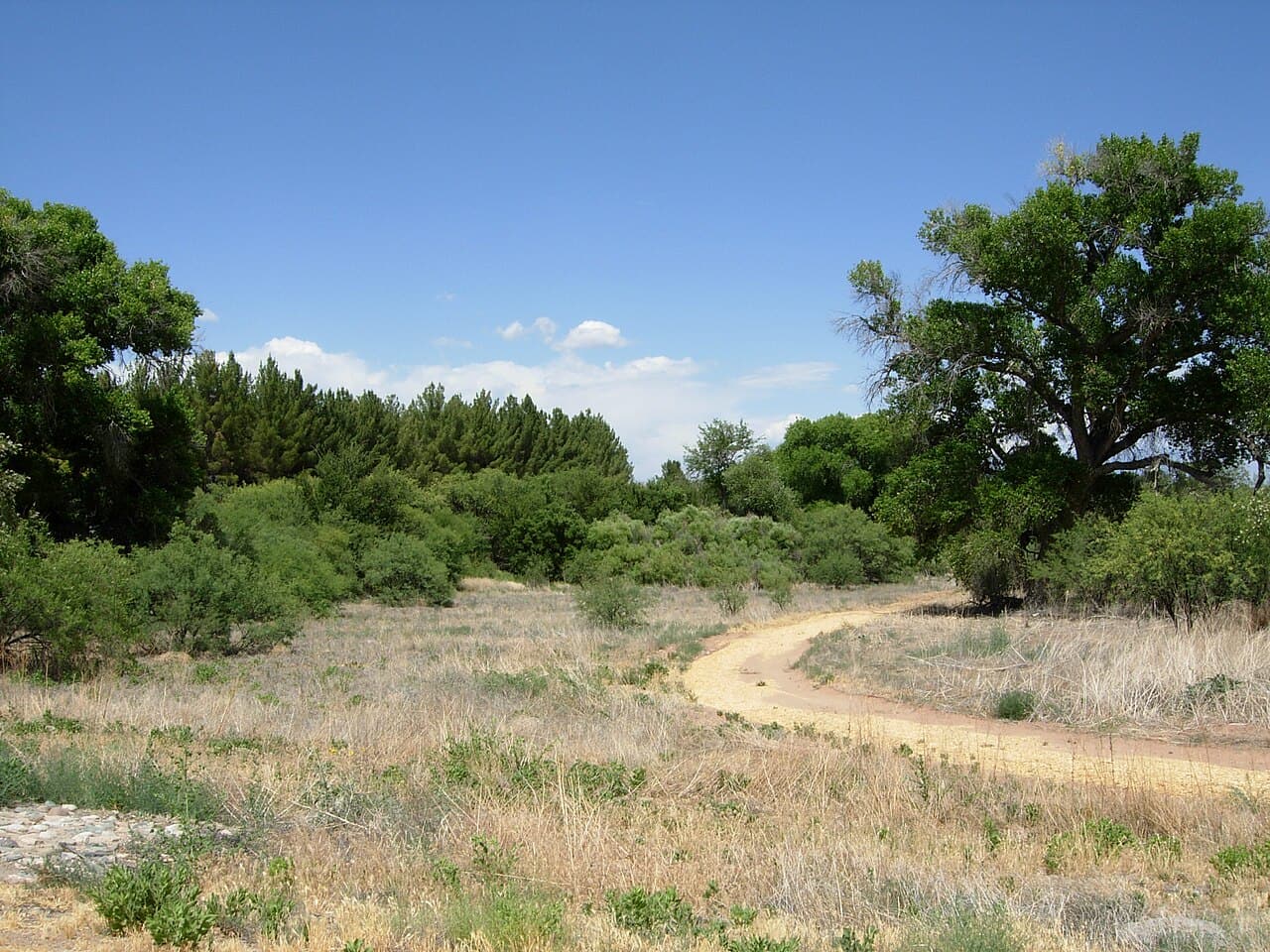
Jerome · Trails

Mescal Trail is 1.36 miles near Jerome, in the Verde Ranger District of Prescott National Forest, as trail number 0547. The typical grade is 12 to 20 percent, the steepest band listed here, so this short trail climbs hard. Native material underfoot, class 3. Hiking, horses and bicycles are all listed as allowed uses. Short and steep is a useful thing to know in advance: it fits inside a morning, but nobody should expect a stroll. Trailhead directions are not posted or parking details, so check with that office before you set off.

Verified Verified
Mescal Trail, Sedona davidpinter (CC BY 3.0)
Sedona · Trails

Mescal Trail is a 2.59 mile route numbered 174C on the Coconino National Forest. Day to day care falls to the Red Rock Ranger District. Native material is the surface here, which is to say plain dirt and stone. Grades of 5 to 8 percent give a sense of how steep the walking gets. The trail class is 2. Shade can be thin, so an early start makes the walk easier in hot months. Pack out everything you carry in, food scraps included. Temperatures swing a lot between morning and afternoon, so dress in layers.

Verified Verified
Verde Village · Trails

Covering 3.2 miles of native dirt, this route holds to the 5 to 8 percent grade band, so the climbing is moderate and spread out. ATVs, bicycles, horses, and people on foot may all use it, which means engines and quiet travel share the same tread. Trail 0525 is rated class 2, a simple route with light construction. The Verde Ranger District of the Prescott National Forest manages it. A wash route can change shape after a storm, filling with loose sand or cutting new lines, so ask the ranger district how it is holding up before a long day out. Bring water and a map.

Verified Verified
Jerome · Trails

Middle Trail is 0.54 miles near Jerome, in the Verde Ranger District of Prescott National Forest. It is trail number 0537. The typical grade is 12 to 20 percent, the steepest band listed here, which over half a mile means a short, hard climb rather than a walk. It is class 2, on native material. Hiking, horses and bicycles are the listed uses. A trail with this name and shape is generally a connector in the middle of a larger network. Look at it on a map with its neighbors before deciding it is your route.

Verified Verified
Village of Oak Creek · Trails

About 0.46 miles long, Middle Trail sits on Coconino National Forest land near the Village of Oak Creek, Arizona. The Red Rock Ranger District keeps it up. Look for the number 135B where routes meet. The path is made of native material, rated trail class 2, and rises at a grade of 5-8%. Plan a turnaround time, and turn back early if the light or the weather changes. Check current conditions before you go, because weather, fire, or repair work can close a route. Carry water and tell someone where you plan to walk.

Verified Verified
Rimrock · Trails

Middle Verde Loop is a long route, about 12.23 miles, on public land near Rimrock, Arizona. It is signed as trail number 1021. Grades of 0-5% keep the climbing gentle, so the distance rather than the steepness sets the effort. Its trail class of 3 places it among the more developed paths in the area, which usually means a wide, clear tread that is simple to follow. It sits in the Red Rock Ranger District, part of the Coconino National Forest. Plan for several hours, carry water for the whole loop, and check the weather and any fire restrictions before you go.

Verified Verified
Rimrock · Trails

Middle Verde Loop Connector is a very short link, about 0.18 miles, on public land near Rimrock, Arizona. It is signed as trail number 1021A and exists mainly to join one path to another rather than to stand on its own. Grades are 0-5%, so the walking is close to flat, and the surface is native material, meaning dirt and small rock. Its trail class of 3 marks it as one of the more developed paths around, usually wide and simple to follow. Upkeep falls to the Red Rock Ranger District of the Coconino National Forest. Bring water and check current trail notices before heading out.

Verified Verified
Jerome · Trails

Short and nearly flat, Mingus View Trail covers 0.49 miles of native dirt near Jerome, Arizona. The grade runs from 0 to 5 percent, which makes it one of the easier walks in the area. Bicycles, horses and people on foot are all allowed. The tread is rated trail class 3, so it is reasonably clear and simple to follow. It carries trail number 0502 and is managed by the Verde Ranger District of the Prescott National Forest. Because it is brief, it works well joined to a longer loop, and the district office can say what connects to it and whether anything is closed.

Verified Verified
Mooney Trail, Sedona deborah.soltesz (CC0-1.0)
Sedona · Trails

Trail class 2, grade 5 to 8 percent, and a length near 7.05 miles: that is the shape of Mooney Trail. It lies on the Coconino National Forest, in the Red Rock Ranger District, and shows up on maps as trail 12. Nothing is paved. The surface is native material, dirt and rock as found. Wear shoes with grip and take care on loose rock. Phone service is patchy out here, so save a map to your phone first. Step to the side and let horses pass when you meet riders. Sun is strong most of the year, so a hat and sunscreen help.

Verified Verified
Sedona · Trails

Mud Tank Trail covers about 0.83 miles and is signed as trail 242. It sits on the Coconino National Forest and is looked after by the Mogollon Rim Ranger District. Expect native material underfoot rather than a built or paved path. Grades run between 5 and 8 percent, so expect that much climb and drop. Forest records put it at trail class 3. Storms and snow change conditions fast, so ask the ranger district about closures before you drive out. Small lots fill early on weekends and holidays. Stay on the worn tread to keep the soil and plants around it intact.

Verified Verified
Sedona · Trails

Look for trail 240 on forest signs and maps. That is Munds Canyon Trail, a route of roughly 2.25 miles inside the Coconino National Forest. The Mogollon Rim Ranger District manages it. The surface is native material, which means packed dirt and rock rather than paving. Slopes fall in the 5 to 8 percent band, and the route is rated trail class 3. Pack out everything you carry in, food scraps included. Temperatures swing a lot between morning and afternoon, so dress in layers. Tell someone where you are going and when you plan to be back.

Verified Verified
Munds Mountain Trail, Sedona Coconino National Forest (CC0-1.0)
Sedona · Trails

Munds Mountain Trail covers 2.8 miles inside the Red Rock Ranger District of the Coconino National Forest, on the public land around Sedona, Arizona. The tread is dirt and rock left in place, and grades of 8-10% mean the miles climb at a steady pitch. It carries the number 77 and is held to class 1 standards. Cool mornings are the easier time to walk it, and light fades quickly in the canyons. Sturdy shoes help, and so does an early start in summer. Ask the Red Rock Ranger District about current conditions and where you may park at the start.

Verified Verified
Sedona · Trails

A short drive from Sedona, Arizona, Munds Wagon Trail runs 3.7 miles through the Coconino National Forest and is looked after by the Red Rock Ranger District. The tread is dirt and rock left in place, and grades of 5-8% mean the miles climb gently. It carries the number 78 and is held to class 2 standards. Other people share the path, so listen for riders and bikes coming from behind. Bring more water than you think you need, and tell someone your plan. Call the Red Rock Ranger District first if you want to know about fire limits or a temporary closure.

Verified Verified
Sedona · Trails

This is a 0.93 mile path in the Coconino National Forest. It sits in the Red Rock Ranger District, within reach of Sedona, Arizona. Dirt and rock underfoot, with a 5-8% grade that climbs steadily rather than sharply. It carries the number 157 and is held to class 3 standards. Mark where you leave the car. Junctions look alike once you are in the trees. Bring water and sun cover, and start early when the days are warm. Conditions change with storms and fire season, so check with the Red Rock Ranger District before the drive.

Verified Verified
Jerome · Trails

Steep is the word for North Mingus Trail, where the grade runs from 12 to 20 percent across 1.91 miles of native dirt near Jerome, Arizona. Hiking, horses and bicycles are all allowed, though the pitch makes riding hard work. The tread is rated trail class 2, so expect a rough path rather than a groomed surface. The route is trail number 0105, in the Verde Ranger District of the Prescott National Forest. Boots with grip help, and so does an early start in the warm months. Ask the district office about closures, fire restrictions and conditions before you head out.

Verified Verified
North Wilson Trail, Sedona davidpinter (CC BY 3.0)
Sedona · Trails

Walkers heading out from Sedona, Arizona will find North Wilson Trail at 1.75 miles long, in the Red Rock Ranger District of the Coconino National Forest. The tread is dirt and rock left in place, and grades of 10-12% mean the miles tilt uphill in places. It carries the number 123 and is held to class 2 standards. Storm runoff moves dirt around, so the tread may look different from one season to the next. Carry water, wear shoes with grip, and give yourself more time than the distance suggests. For closures, dog rules, or parking questions, the Red Rock Ranger District is the place to ask.

Verified Verified
Sedona · Trails

Oak Creek Spur a Trail is 0.32 miles near Sedona, in the Red Rock Ranger District of Coconino National Forest, as trail number 71A. It is another lettered spur off the route numbered 71, and a short one. Expect native material and a typical grade of 5 to 8 percent. The trail class is 1, the least developed are listed. The allowed uses are not posted, so ask before you ride. At a third of a mile on rough tread, this is a branch to know about rather than a trip to plan.

Verified Verified
Sedona · Trails

Oak Creek Spur C Trail is public land walking in the Coconino National Forest, 0.7 miles of it, managed by the Red Rock Ranger District close to Sedona, Arizona. At 5-8% the climb is gentle, and the tread is dirt and rock left as it lies. It carries the number 71C and is held to class 1 standards. Rain and snowmelt can leave the footing slick, and washes may hold water for a day or two. Pack water and a hat. Shade comes and goes, and afternoons heat up fast. The Red Rock Ranger District can tell you about closures and any pass you need to leave a car at the start.

Verified Verified
Sedona · Trails

Signed as trail 117, Oak Creek Vista Trail stretches 0.28 miles in the Red Rock Ranger District of the Coconino National Forest near Sedona, Arizona. The tread is paved, and grades of 5-8% mean the miles climb gently. It is held to class 5 standards. Loose rock turns up after storms, so watch your step on the downhill side. Take water for everyone in your group, and turn back if the weather changes. Check with the Red Rock Ranger District for closures, fire limits, and parking rules before you drive out.

Verified Verified

Sedona · Trails

Ok Trail covers 0.3 miles inside the Red Rock Ranger District of the Coconino National Forest, on the public land around Sedona, Arizona. The path rises at 5-8%, steady rather than steep, over dirt and rock. It carries the number 205 and is held to class 2 standards. Cool mornings are the easier time to walk it, and light fades quickly in the canyons. Sturdy shoes help, and so does an early start in summer. Ask the Red Rock Ranger District about current conditions and where you may park at the start.

Verified Verified
Sedona · Trails

A short drive from Sedona, Arizona, Old Post Trail runs 2.7 miles through the Coconino National Forest and is looked after by the Red Rock Ranger District. Grades run 5-8%, so the climbing is gradual, and the footing is plain dirt and rock. It carries the number 206 and is held to class 3 standards. Other people share the path, so listen for riders and bikes coming from behind. Bring more water than you think you need, and tell someone your plan. Call the Red Rock Ranger District first if you want to know about fire limits or a temporary closure.

Verified Verified
Jerome · Trails

One O Five a Trail is 0.46 miles near Jerome, in the Verde Ranger District of Prescott National Forest. It is trail number 0105A, and the name is simply that number spelled out, which usually means it is a branch of the longer trail numbered 0105. The typical grade is 12 to 20 percent, the steepest band are listed, so this is a short, hard piece of ground. It is class 2, on native material. Hiking, horses and bicycles are listed. Look at it on a map with the route it branches from.

Verified Verified
Sedona · Trails

Ott Trail is 0.22 miles near Sedona, in the Mogollon Rim Ranger District of Coconino National Forest, as trail number 70B. The letter marks it as a branch of the route numbered 70. Read the grade rather than the distance: 12 to 20 percent, the steep end of those listed here, over a fifth of a mile. It is class 2, on native material. The allowed uses are not posted, so ask before you ride. Plan the longer trail it leaves from instead of this alone.

Verified Verified
Sedona · Trails

This is a 6.07 mile path in the Coconino National Forest. It sits in the Red Rock Ranger District, within reach of Sedona, Arizona. The tread is dirt and rock left in place, and grades of 0-5% mean the miles stay close to level. It carries the number 1012 and is held to class 3 standards. Mark where you leave the car. Junctions look alike once you are in the trees. Bring water and sun cover, and start early when the days are warm. Conditions change with storms and fire season, so check with the Red Rock Ranger District before the drive.

Verified Verified
Sedona · Trails

Overeasy Trail is 0.24 miles near Sedona, in the Red Rock Ranger District of Coconino National Forest, as trail number 670. The typical grade is 10 to 12 percent, which is steeper than the name suggests, over less than a quarter mile. It is class 3, on native material. The allowed uses are not posted, so ask before you ride. A segment this short is a link between longer routes, so read it on a map with its neighbors rather than planning a trip around it.

Verified Verified
Clarkdale · Trails

Packard Trail covers 5.34 miles near Clarkdale, in the Bradshaw Ranger District of Prescott National Forest. It is trail number 0066. The typical grade is 10 to 12 percent, so there is real climbing spread across the distance. The tread is native material; the class is 2. Hiking and horses are listed as allowed uses, and bicycles are not, which usually makes for a quieter trail. At this length, plan for water and for the time of day you will be out in the open. Trailhead directions are not posted or parking details for it, so check with the district office first.

Verified Verified
Sedona · Trails

Walkers heading out from Sedona, Arizona will find Palatki Ruins Face Trail at 0.2 miles long, in the Red Rock Ranger District of the Coconino National Forest. The tread is dirt and rock left in place, and grades of 5-8% mean the miles climb gently. It carries the number 80B and is held to class 3 standards. Storm runoff moves dirt around, so the tread may look different from one season to the next. Carry water, wear shoes with grip, and give yourself more time than the distance suggests. For closures, dog rules, or parking questions, the Red Rock Ranger District is the place to ask.

Verified Verified
Sedona · Trails

Palatki Ruins Loop is public land walking in the Coconino National Forest, 0.6 miles of it, managed by the Red Rock Ranger District close to Sedona, Arizona. Dirt and rock underfoot, with a 5-8% grade that climbs steadily rather than sharply. It carries the number 80 and is held to class 3 standards. Rain and snowmelt can leave the footing slick, and washes may hold water for a day or two. Pack water and a hat. Shade comes and goes, and afternoons heat up fast. The Red Rock Ranger District can tell you about closures and any pass you need to leave a car at the start.

Verified Verified
Sedona · Trails

Signed as trail 80A, Palatki Ruins Loop Spur stretches 0.2 miles in the Red Rock Ranger District of the Coconino National Forest near Sedona, Arizona. The tread is packed material brought in and rolled flat, and grades of 5-8% mean the miles climb gently. It is held to class 3 standards. Loose rock turns up after storms, so watch your step on the downhill side. Take water for everyone in your group, and turn back if the weather changes. Check with the Red Rock Ranger District for closures, fire limits, and parking rules before you drive out.

Verified Verified
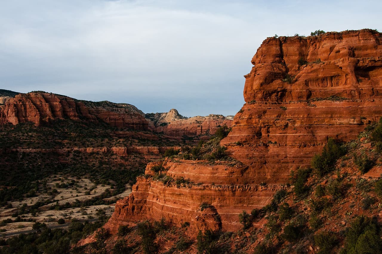
Parsons Trail, Clarkdale Coconino National Forest (CC0-1.0)
Clarkdale · Trails

Parsons Trail runs 3.3 miles on native material, with grades of 8 to 10 percent, so there is real climbing packed into a fairly short distance. It is rated trail class 2, a built path that still holds loose rock and uneven footing. The route is numbered 144 and is managed by the Red Rock Ranger District of Coconino National Forest. Footwear with grip helps on the steeper pitches. Carry water, because none is posted along the route, and plan turnaround time so you are not finishing in the dark. Check with the ranger district for closures and conditions first.

Verified Verified
Sedona · Trails

Peccary Trail is 0.46 miles near Sedona, in the Red Rock Ranger District of Coconino National Forest, as trail number 125B. The letter puts it in the family of trails sharing the number 125 on that side of town. The typical grade is 10 to 12 percent, a real pitch for under half a mile, and the surface is native material. Trail class 2. The allowed uses are not posted, so ask before you ride. It is most useful as one leg of a loop built from that network.

Verified Verified
Village of Oak Creek · Trails

Phone Extension Trail is a public forest path of roughly 0.29 miles close to the Village of Oak Creek, Arizona. Its surface is native material and its grade is given as 5-8%. The rating is trail class 3, and the number on the signs is 658. Day to day care comes from the Red Rock Ranger District of the Coconino National Forest. Check current conditions before you go, because weather, fire, or repair work can close a route. Carry water and tell someone where you plan to walk.

Verified Verified
Village of Oak Creek · Trails

Near the Village of Oak Creek, Arizona, Phone Trail covers about 0.21 miles. Grade is 5-8% and the walking surface is native material. The route holds a trail class 3 rating and is numbered 96A. It lies in the Coconino National Forest, in the Red Rock Ranger District. Carry water and tell someone where you plan to walk. Wear shoes with good grip and give yourself time to get back. Match the trail number to the signs at junctions so you stay on the route you meant to take.

Verified Verified
Sedona · Trails

Pigtail Trail covers 0.61 miles inside the Red Rock Ranger District of the Coconino National Forest, on the public land around Sedona, Arizona. At 5-8% the climb is gentle, and the tread is dirt and rock left as it lies. It carries the number 157A and is held to class 2 standards. Cool mornings are the easier time to walk it, and light fades quickly in the canyons. Sturdy shoes help, and so does an early start in summer. Ask the Red Rock Ranger District about current conditions and where you may park at the start.

Verified Verified
Camp Verde · Trails

Porcupine Mountain Trail runs about 4.28 miles in the Prescott National Forest. The Verde Ranger District looks after it, and maps show it as trail 0518. Allowed uses are hiking and horseback riding. The tread is native material, so the path is dirt and rock rather than pavement. Grades run between 5 and 8 percent, a steady climb rather than a flat walk. It is rated trail class 2, which means a simple path with little building work done to it. The route was once called Squaw Peak Trail and now carries the Porcupine Mountain name. Ask the Verde Ranger District about current conditions before you drive out.

Verified Verified
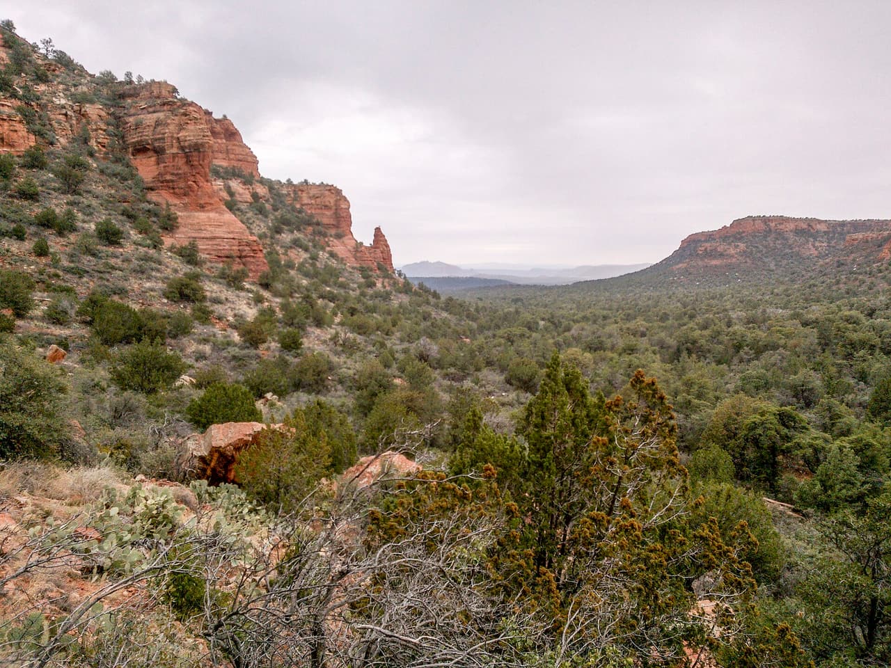
Sedona · Trails

A short drive from Sedona, Arizona, Powerline Plunge Trail runs 0.76 miles through the Coconino National Forest and is looked after by the Red Rock Ranger District. The tread is dirt and rock left in place, and grades of 8-10% mean the miles climb at a steady pitch. It carries the number 668 and is held to class 3 standards. Other people share the path, so listen for riders and bikes coming from behind. Bring more water than you think you need, and tell someone your plan. Call the Red Rock Ranger District first if you want to know about fire limits or a temporary closure.

Verified Verified
Jerome · Trails

Powerline Trail climbs 1.97 miles of native dirt near Jerome, Arizona, at a grade of 12 to 20 percent. That pitch means steady work going up and careful footing coming down. Hiking, horseback riding and cycling are all allowed. The path is rated trail class 2, which describes a basic route with limited upkeep, so expect loose rock and narrow tread in places. It is trail number 0549, managed by the Verde Ranger District of the Prescott National Forest. Carry more water than you think you need in warm weather, and call the district office to confirm the trail is open before driving to it.

Verified Verified
Sedona · Trails

This is a 0.9 mile path in the Coconino National Forest. It sits in the Red Rock Ranger District, within reach of Sedona, Arizona. The path rises at 5-8%, steady rather than steep, over dirt and rock. It carries the number 65 and is held to class 2 standards. Mark where you leave the car. Junctions look alike once you are in the trees. Bring water and sun cover, and start early when the days are warm. Conditions change with storms and fire season, so check with the Red Rock Ranger District before the drive.

Verified Verified
Sedona · Trails

Walkers heading out from Sedona, Arizona will find Pyramid Trail at 1.25 miles long, in the Red Rock Ranger District of the Coconino National Forest. The tread is dirt and rock left in place, and grades of 10-12% mean the miles tilt uphill in places. It carries the number 674 and is held to class 3 standards. Storm runoff moves dirt around, so the tread may look different from one season to the next. Carry water, wear shoes with grip, and give yourself more time than the distance suggests. For closures, dog rules, or parking questions, the Red Rock Ranger District is the place to ask.

Verified Verified
Verde Village · Trails

Running 2.05 miles on native dirt, this route keeps grades in the 5 to 8 percent range, an even pull rather than a hard climb. ATV riders, bicycles, horses, and people on foot are all allowed, so expect mixed traffic and give way where the tread is narrow. Trail 0512 is rated class 2, which points to simple construction and few built features. The Verde Ranger District of the Prescott National Forest manages it. Distance and grade together make it a reasonable half day outing for most people. Ask the ranger district about current conditions, since dirt tread shifts with weather and with heavy use.

Verified Verified
Village of Oak Creek · Trails

Rabbit Ears Trail runs about 2.47 miles through the red rock country around the Village of Oak Creek, Arizona. The grade is listed at 5-8%, so there is some climbing but nothing sustained for long. Walkers cross native material. It is signed as trail number 148A and rated trail class 2. The Red Rock Ranger District of the Coconino National Forest takes care of it. Wear shoes with good grip and give yourself time to get back. Match the trail number to the signs at junctions so you stay on the route you meant to take.

Verified Verified
Sedona · Trails

Ramshead Trail is 1.11 miles near Sedona, in the Red Rock Ranger District of Coconino National Forest, as trail number 202A. The letter marks it as a branch of the route numbered 202, which runs nearby at a similar grade. Native material underfoot, at a typical grade of 10 to 12 percent. It is recorded as trail class 2. The allowed uses are not posted for this one, so ask before you ride. The two together make an obvious pairing on the map, which is the sensible way to plan either one.

Verified Verified
Cottonwood · Trails

Raptor Bones Connector Trail is short, about 0.18 miles, and it links other paths rather than going anywhere on its own. It carries the number 181B. The tread is native material, so dirt and rock underfoot. Grades run around 5 to 8 percent, which is gentle. Trail class 3 points to a clear, well defined path. The Coconino National Forest looks after it through the Red Rock Ranger District. Because this is a connector, look at a map of the whole loop before setting out so you know what it joins. Check with the ranger district for closures, and bring water even on a short walk.

Verified Verified
Cottonwood · Trails

Raptor Hill Trail runs about 4.69 miles and carries the number 181. The surface is native material, which means dirt and rock rather than anything laid down. Grades sit around 5 to 8 percent, steady rather than steep. Trail class 3 describes a path that is easy to follow and holds up to regular use. The Coconino National Forest manages it through the Red Rock Ranger District. At that length, plan for a few hours and take water, a map and sun protection. Weather turns the tread slick and can change how long the route takes, so check conditions with the ranger district before you go.

Verified Verified
Village of Oak Creek · Trails

Trail number 135D carries the name Rector Bypass Trail. It covers about 0.11 miles on public land near the Village of Oak Creek, Arizona. The route is built on native material and is rated trail class 3. Grade on the path is given as 0-5%. Care of the trail falls to the Red Rock Ranger District of the Coconino National Forest. Match the trail number to the signs at junctions so you stay on the route you meant to take. Read the rules posted at the trailhead, since not every route is open to bikes, horses, or dogs.

Verified Verified
Village of Oak Creek · Trails

Hikers near the Village of Oak Creek, Arizona, know Rector Connector Trail as a route of about 0.62 miles. It is trail class 3, with a grade of 0-5% and a tread of native material. Signs on the ground call it 135C. The Coconino National Forest manages it through its Red Rock Ranger District. Read the rules posted at the trailhead, since not every route is open to bikes, horses, or dogs. Park only in marked spaces and pack out everything you bring in. Phone service is not reliable on forest land, so save a map before you leave town.

Verified Verified
Sedona · Trails

Red Cliff Trail is public land walking in the Coconino National Forest, 0.32 miles of it, managed by the Red Rock Ranger District close to Sedona, Arizona. Grades run 5-8%, so the climbing is gradual, and the footing is plain dirt and rock. It carries the number 62 and is held to class 2 standards. Rain and snowmelt can leave the footing slick, and washes may hold water for a day or two. Pack water and a hat. Shade comes and goes, and afternoons heat up fast. The Red Rock Ranger District can tell you about closures and any pass you need to leave a car at the start.

Verified Verified
Village of Oak Creek · Trails

About 0.42 miles long, Red Rock Crossing Trail sits on Coconino National Forest land near the Village of Oak Creek, Arizona. The Red Rock Ranger District keeps it up. Look for the number 191B where routes meet. The path is made of native material, rated trail class 3, and rises at a grade of 5-8%. Park only in marked spaces and pack out everything you bring in. Phone service is not reliable on forest land, so save a map before you leave town. Plan a turnaround time, and turn back early if the light or the weather changes.

Verified Verified
Red Rock Loop, Sedona Vickie Rice; Coconino National Forest (CC BY-SA 2.0)
Sedona · Trails

Signed as trail 118, Red Rock Loop stretches 1.73 miles in the Red Rock Ranger District of the Coconino National Forest near Sedona, Arizona. The tread is dirt and rock left in place, and grades of 5-8% mean the miles climb gently. It is held to class 2 standards. Loose rock turns up after storms, so watch your step on the downhill side. Take water for everyone in your group, and turn back if the weather changes. Check with the Red Rock Ranger District for closures, fire limits, and parking rules before you drive out.

Verified Verified
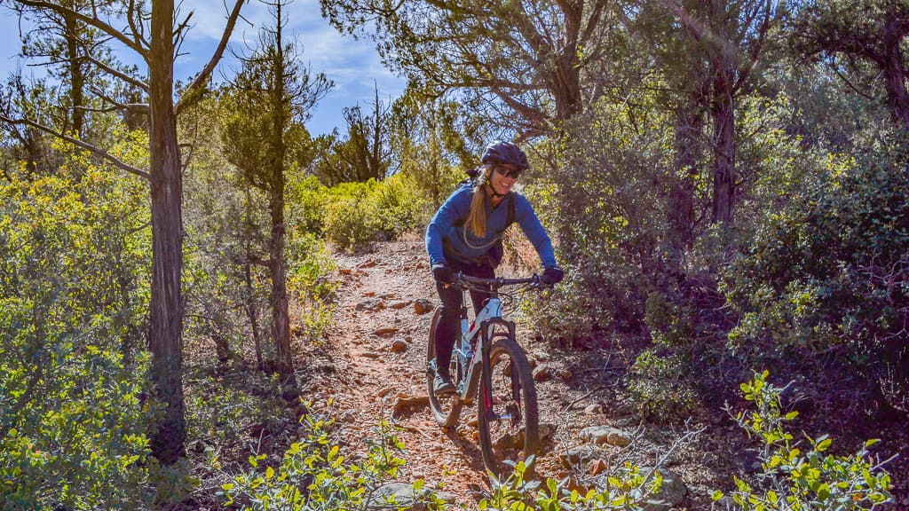
Red Rock State Park, Village of Oak Creek Peter D. Tillman from USA (CC BY-SA 2.0)
Village of Oak Creek · Trails

Red Rock State Park is at 4050 Red Rock Loop Rd, managed by Arizona State Parks. The park is open 8 a.m. to 5 p.m. daily, the visitor center runs 9 a.m. to 4:30 p.m., and last entry is 4:30 PM, so arriving late in the afternoon does not work here. Entry is $10 for an adult aged 14 and over, $5 for ages 7 to 13, free for under 7, and $5 to walk in. One thing about our own record: the postal address says Sedona while we file the park under Village of Oak Creek. Call (928) 282-6907 to confirm anything seasonal.

Verified Verified
Sedona · Trails

Remnant Trail covers 0.69 miles inside the Red Rock Ranger District of the Coconino National Forest, on the public land around Sedona, Arizona. Grades of 0-5% mean the miles stay close to level. It carries the number 162E and is held to class 3 standards. Cool mornings are the easier time to walk it, and light fades quickly in the canyons. Sturdy shoes help, and so does an early start in summer. Ask the Red Rock Ranger District about current conditions and where you may park at the start.

Verified Verified
Sedona · Trails

Ridge Trail covers 2.77 miles inside the Red Rock Ranger District of the Coconino National Forest, on the public land around Sedona, Arizona. Dirt and rock underfoot, with a 5-8% grade that climbs steadily rather than sharply. It carries the number 208 and is held to class 3 standards. Cool mornings are the easier time to walk it, and light fades quickly in the canyons. Sturdy shoes help, and so does an early start in summer. Ask the Red Rock Ranger District about current conditions and where you may park at the start.

Verified Verified
Sedona · Trails

Walkers heading out from Sedona, Arizona will find Rock Rut Trail at 0.71 miles long, in the Mogollon Rim Ranger District of the Coconino National Forest. It carries the number 249 and is held to class 3 standards. Storm runoff moves dirt around, so the tread may look different from one season to the next. Carry water, wear shoes with grip, and give yourself more time than the distance suggests. For closures, dog rules, or parking questions, the Mogollon Rim Ranger District is the place to ask. Leave what you find, pack out your trash, and stay on the worn line to spare the soil.

Verified Verified
Sedona · Trails

A short drive from Sedona, Arizona, Rocky Road Trail runs 4.59 miles through the Coconino National Forest and is looked after by the Mogollon Rim Ranger District. At 5-8% the climb is gentle, and the tread is dirt and rock left as it lies. It carries the number 241 and is held to class 3 standards. Other people share the path, so listen for riders and bikes coming from behind. Bring more water than you think you need, and tell someone your plan. Call the Mogollon Rim Ranger District first if you want to know about fire limits or a temporary closure.

Verified Verified
Sedona · Trails

A short drive from Sedona, Arizona, Roundabout Trail runs 6.1 miles through the Coconino National Forest and is looked after by the Red Rock Ranger District. Grades of 0-5% mean the miles stay close to level. It carries the number 1012A and is held to class 3 standards. Other people share the path, so listen for riders and bikes coming from behind. Bring more water than you think you need, and tell someone your plan. Call the Red Rock Ranger District first if you want to know about fire limits or a temporary closure.

Verified Verified
Clarkdale · Trails

RR Draw Trail runs 3.27 miles near Clarkdale, in the Bradshaw Ranger District of Prescott National Forest. It is trail number 0068. The typical grade is 10 to 12 percent, so expect sustained climbing rather than a level walk. It is class 2, on native material. Hiking, horses and bicycles are all listed as allowed uses. A draw is a drainage, which means this is a route that follows low ground and can change after storms. There is no listing for conditions or trailhead details, so check with the district office before heading out, especially in monsoon season.

Verified Verified
Sedona · Trails

This is a 0.91 mile path in the Coconino National Forest. It sits in the Red Rock Ranger District, within reach of Sedona, Arizona. The path rises at 5-8%, steady rather than steep, over dirt and rock. It carries the number 204 and is held to class 2 standards. Mark where you leave the car. Junctions look alike once you are in the trees. Bring water and sun cover, and start early when the days are warm. Conditions change with storms and fire season, so check with the Red Rock Ranger District before the drive.

Verified Verified
Clarkdale · Trails

Rustbucket Trail covers 3.3 miles on native material, with grades of 8 to 10 percent, so the climbing is steady for the distance. It is rated trail class 2, which means a built tread that stays rough and uneven in places rather than a smooth path. The route is numbered 181A and falls under the Red Rock Ranger District of Coconino National Forest. Bring water, because none is posted along the way, and wear shoes with grip for the loose sections. Conditions change with weather and with fire restrictions, so ask the ranger district what is open before you drive out.

Verified Verified
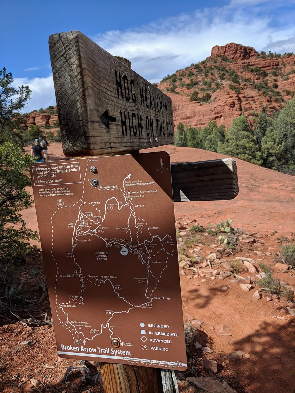
Camp Verde · Trails

Ryal Canyon Trail runs about 2.55 miles in the Prescott National Forest, under the Verde Ranger District, and carries the number 0521. It is open to hiking, horseback riding, bicycles and all terrain vehicles, so quiet and motorized users share the same tread. Grades run from 10 to 12 percent, a firm climb over a fairly short distance. The surface is native material, dirt and rock without paving, and it is rated trail class 2. Dust and noise are part of a shared use route. Ask the Verde Ranger District about conditions and any seasonal closures before you go.

Verified Verified
Rimrock · Trails

Short and steady, Sacred Mountain Trail runs about 0.4 miles near Rimrock, Arizona. It is signed as trail number 83. Grades of 5-8% give a modest climb over that short distance, and the surface is native material, so the footing is dirt and rock. A trail class of 1 means the route is rough and only lightly built, so the path may fade in places and ankles get a workout. The Coconino National Forest holds this ground, through its Red Rock Ranger District. Sturdy shoes help. Carry water even on a quick outing, and check the weather and any fire restrictions first.

Verified Verified
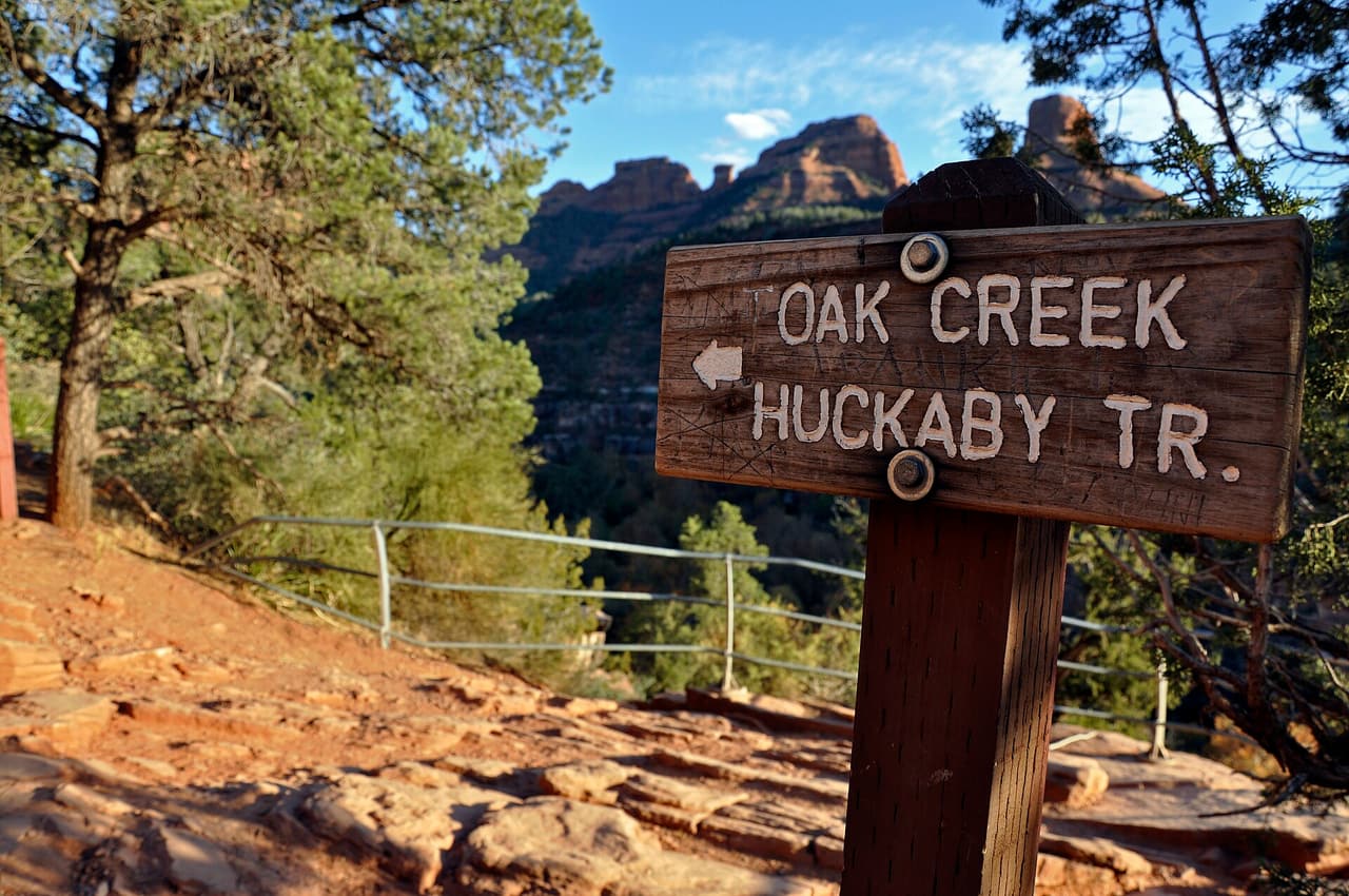
Sedona · Trails

This is a 1.2 mile path in the Coconino National Forest. It sits in the Red Rock Ranger District, within reach of Sedona, Arizona. Grades of 0-5% mean the miles stay close to level. It carries the number 162D and is held to class 3 standards. Mark where you leave the car. Junctions look alike once you are in the trees. Bring water and sun cover, and start early when the days are warm. Conditions change with storms and fire season, so check with the Red Rock Ranger District before the drive.

Verified Verified
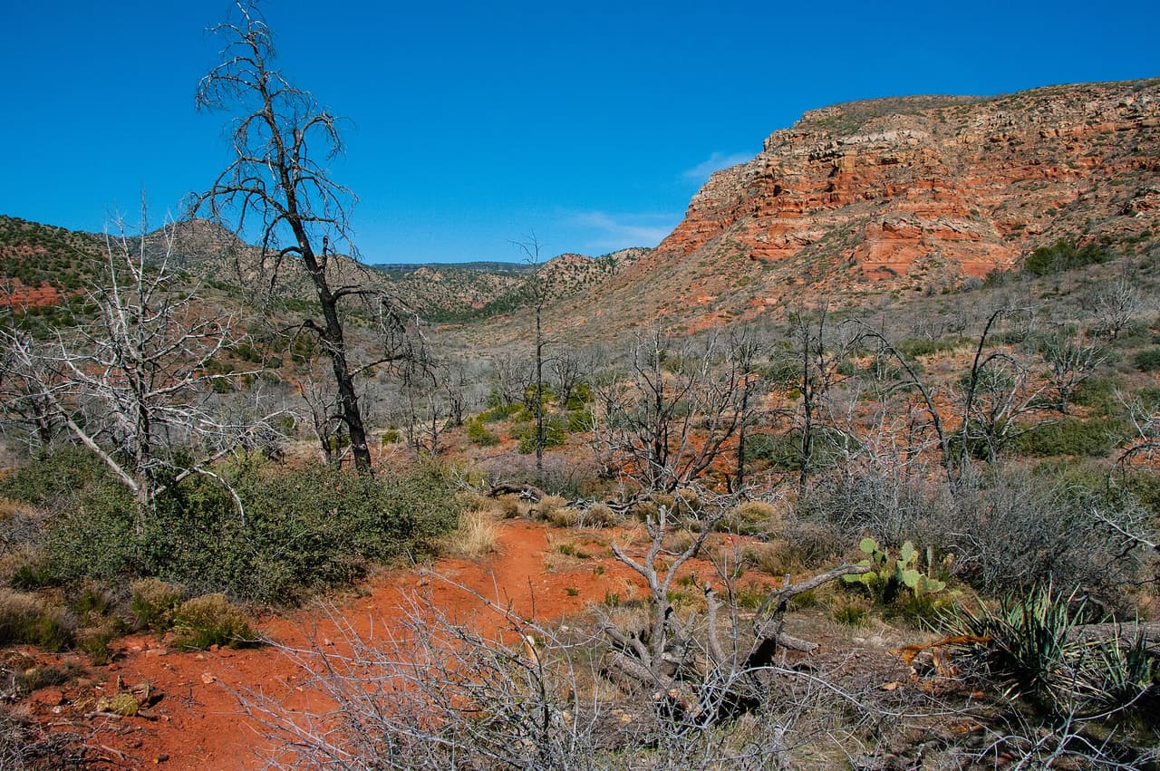
Camp Verde · Trails

Saloon Trail is 0.19 miles near Camp Verde, in the Verde Ranger District of Prescott National Forest, as trail number 9833. At under a fifth of a mile this is a connector rather than a walk: the kind of short segment that joins two longer routes or reaches a junction. The typical grade is 5 to 8 percent, the surface is native material, and the trail class is 3. Hiking, horses and bicycles are all listed as allowed uses. Plan it as one piece of a larger loop, and look at the map before you rely on signage at the junctions.

Verified Verified
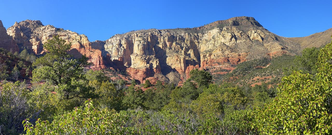
Verde Village · Trails

Length is what sets this one apart among the nearby wash routes, at 4.3 miles of native dirt. Grades stay in the 5 to 8 percent band, so the distance rather than the pitch is the work. ATVs, bicycles, horses, and hiking are the allowed uses, and motorized traffic is part of the mix. Trail 0527 is rated class 2, with light construction and a simple tread. The Verde Ranger District of the Prescott National Forest manages it. Plan for a longer day, carry water, and tell someone your route. Conditions change after rain, so check with the ranger district before setting out.

Verified Verified
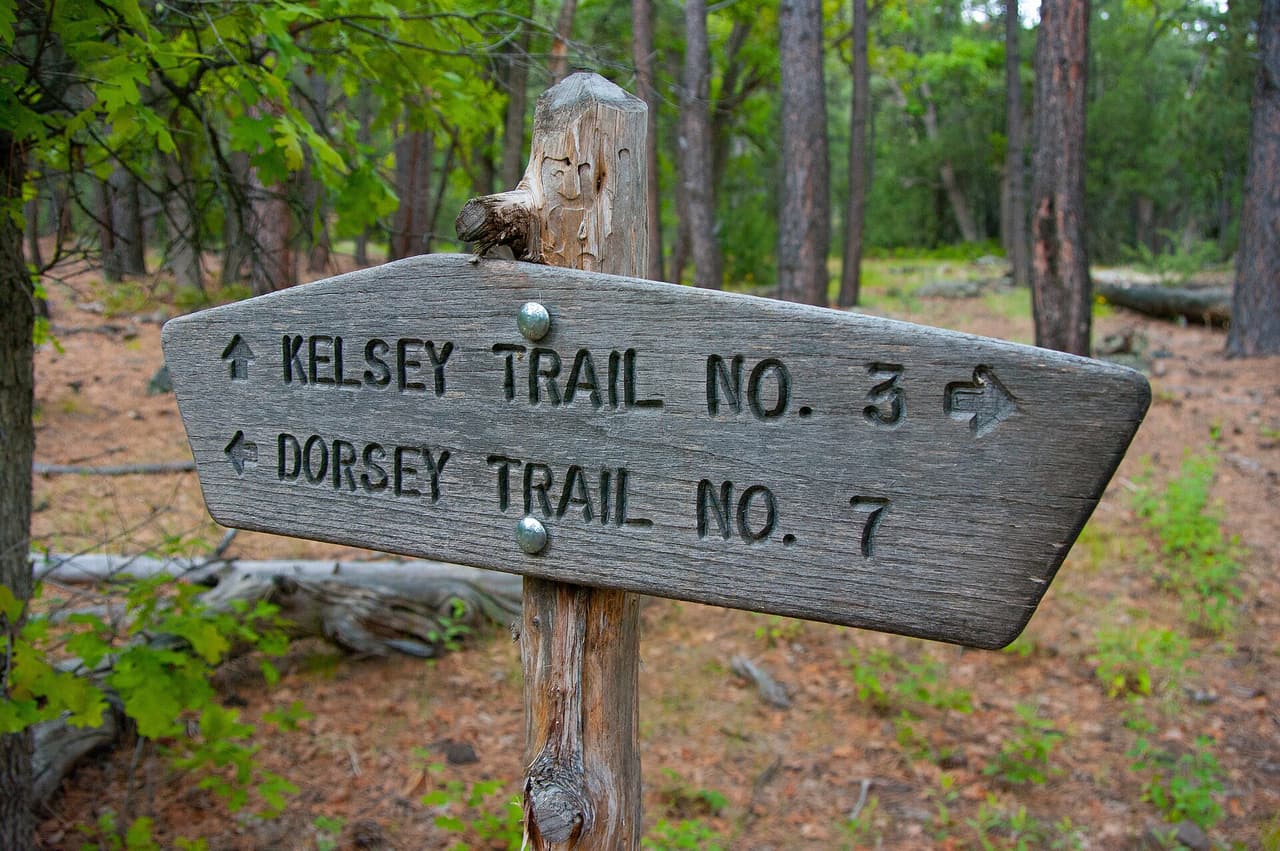
Schnebly Hill Trail, Sedona Qygen (CC BY-SA 3.0)
Sedona · Trails

Walkers heading out from Sedona, Arizona will find Schnebly Hill Trail at 1.94 miles long, in the Red Rock Ranger District of the Coconino National Forest. Grades run 5-8%, so the climbing is gradual, and the footing is plain dirt and rock. It carries the number 158 and is held to class 2 standards. Storm runoff moves dirt around, so the tread may look different from one season to the next. Carry water, wear shoes with grip, and give yourself more time than the distance suggests. For closures, dog rules, or parking questions, the Red Rock Ranger District is the place to ask.

Verified Verified
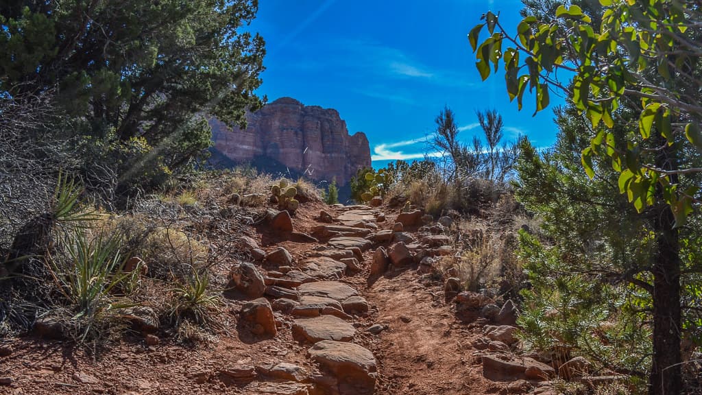
Sedona · Trails

Schuerman Mountain Trail is public land walking in the Coconino National Forest, 2.26 miles of it, managed by the Red Rock Ranger District close to Sedona, Arizona. The tread is dirt and rock left in place, and grades of 10-12% mean the miles tilt uphill in places. It carries the number 56 and is held to class 2 standards. Rain and snowmelt can leave the footing slick, and washes may hold water for a day or two. Pack water and a hat. Shade comes and goes, and afternoons heat up fast. The Red Rock Ranger District can tell you about closures and any pass you need to leave a car at the start.

Verified Verified
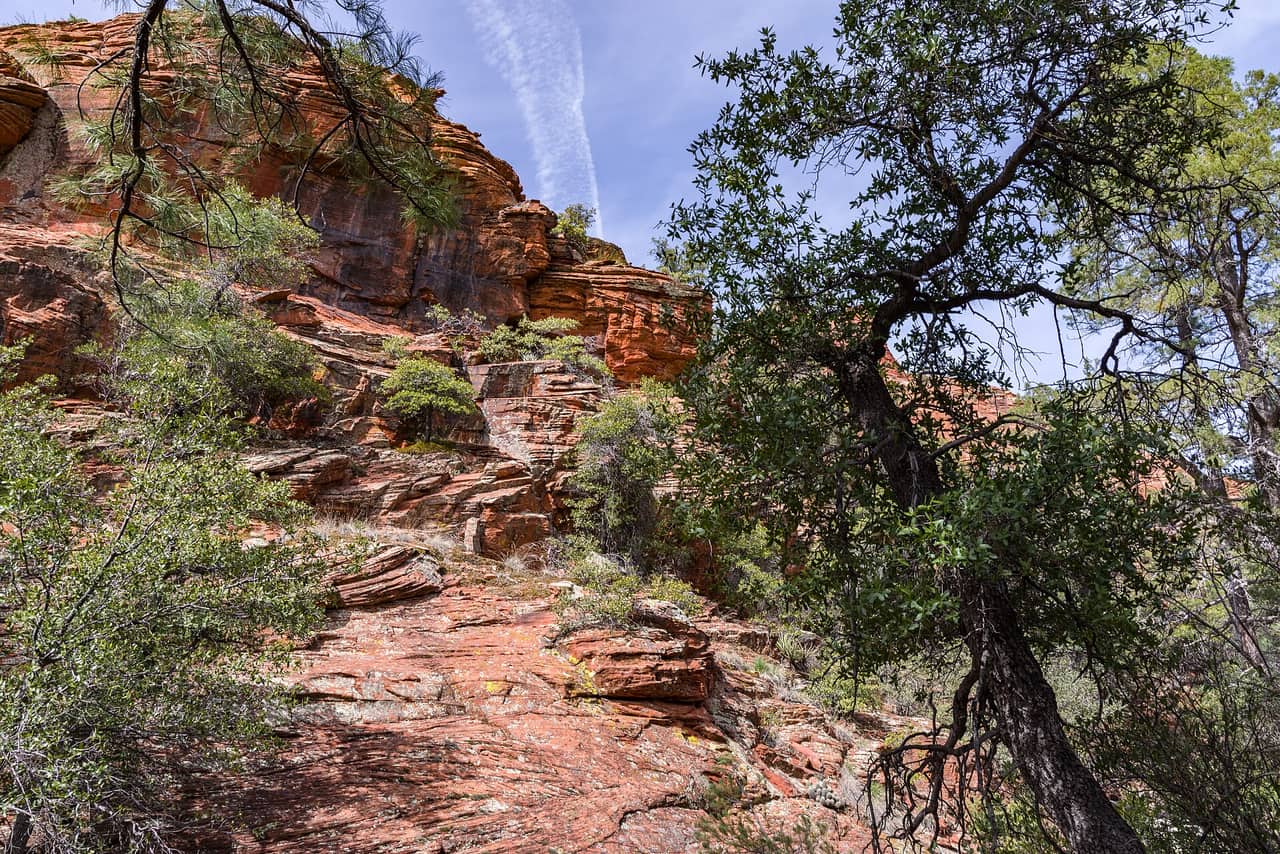
Sedona · Trails

Signed as trail 56A, Schuerman Mountain Vista Trail stretches 0.33 miles in the Red Rock Ranger District of the Coconino National Forest near Sedona, Arizona. The tread is dirt and rock left in place, and grades of 10-12% mean the miles tilt uphill in places. It is held to class 2 standards. Loose rock turns up after storms, so watch your step on the downhill side. Take water for everyone in your group, and turn back if the weather changes. Check with the Red Rock Ranger District for closures, fire limits, and parking rules before you drive out.

Verified Verified
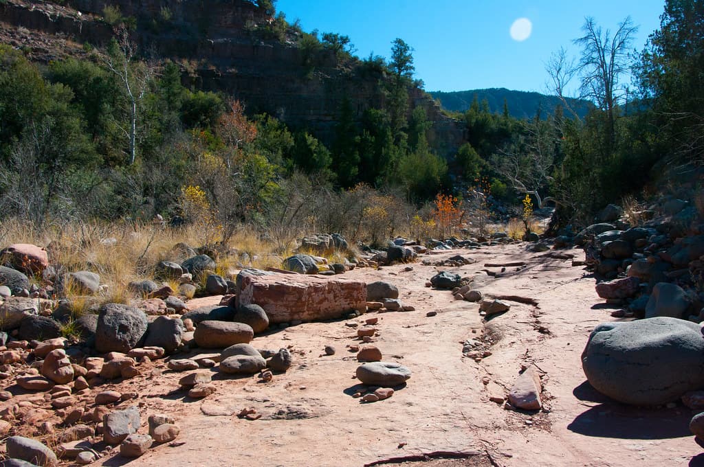
Sedona · Trails

Scorpion Trail covers 1.98 miles inside the Red Rock Ranger District of the Coconino National Forest, on the public land around Sedona, Arizona. The tread is dirt and rock left in place, and grades of 10-12% mean the miles tilt uphill in places. It carries the number 673 and is held to class 3 standards. Cool mornings are the easier time to walk it, and light fades quickly in the canyons. Sturdy shoes help, and so does an early start in summer. Ask the Red Rock Ranger District about current conditions and where you may park at the start.

Verified Verified
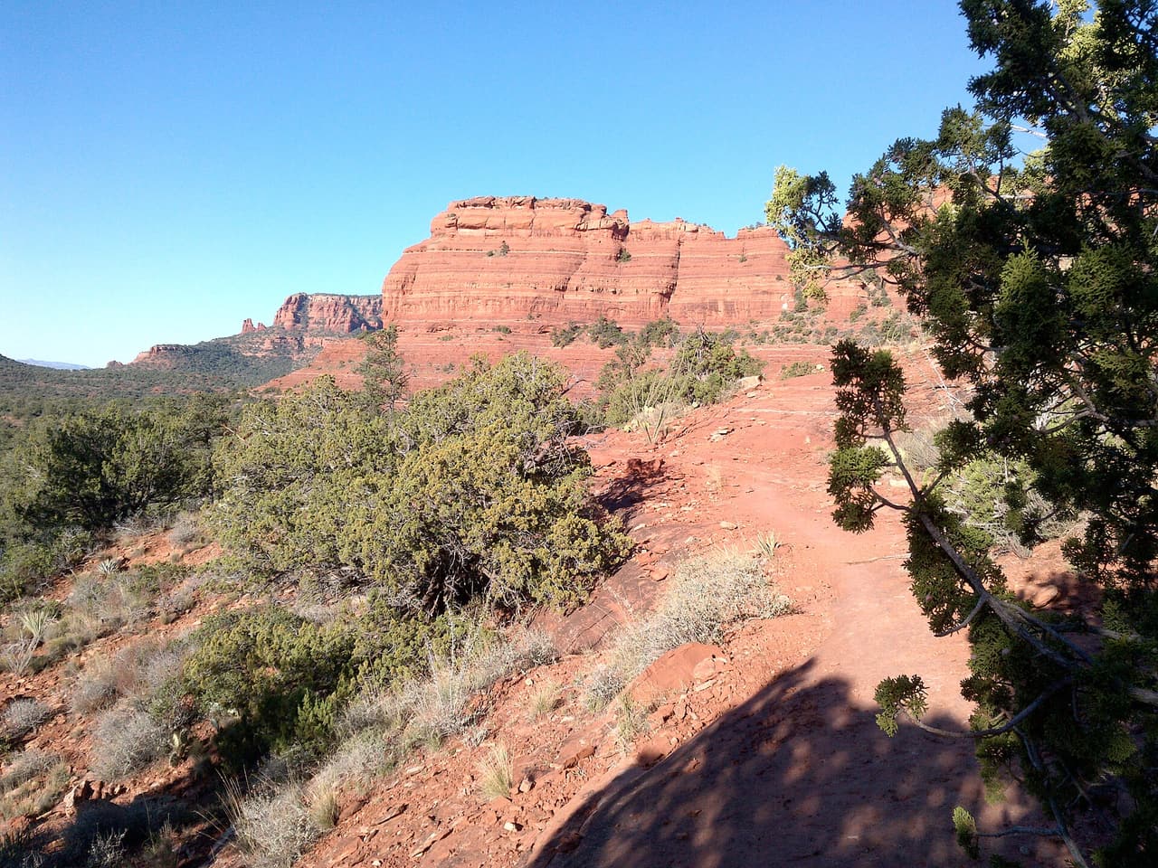
Secret Canyon Trail, Sedona davidpinter (CC BY 3.0)
Sedona · Trails

A short drive from Sedona, Arizona, Secret Canyon Trail runs 7.5 miles through the Coconino National Forest and is looked after by the Red Rock Ranger District. The tread is dirt and rock left in place, and grades of 5-8% mean the miles climb gently. It carries the number 121 and is held to class 1 standards. Other people share the path, so listen for riders and bikes coming from behind. Bring more water than you think you need, and tell someone your plan. Call the Red Rock Ranger District first if you want to know about fire limits or a temporary closure.

Verified Verified
Sedona · Trails

This is a 1.51 mile path in the Coconino National Forest. It sits in the Mogollon Rim Ranger District, within reach of Sedona, Arizona. The tread is dirt and rock left in place, and grades of 12-20% mean the miles get steep in stretches. It carries the number 114 and is held to class 1 standards. Mark where you leave the car. Junctions look alike once you are in the trees. Bring water and sun cover, and start early when the days are warm. Conditions change with storms and fire season, so check with the Mogollon Rim Ranger District before the drive.

Verified Verified
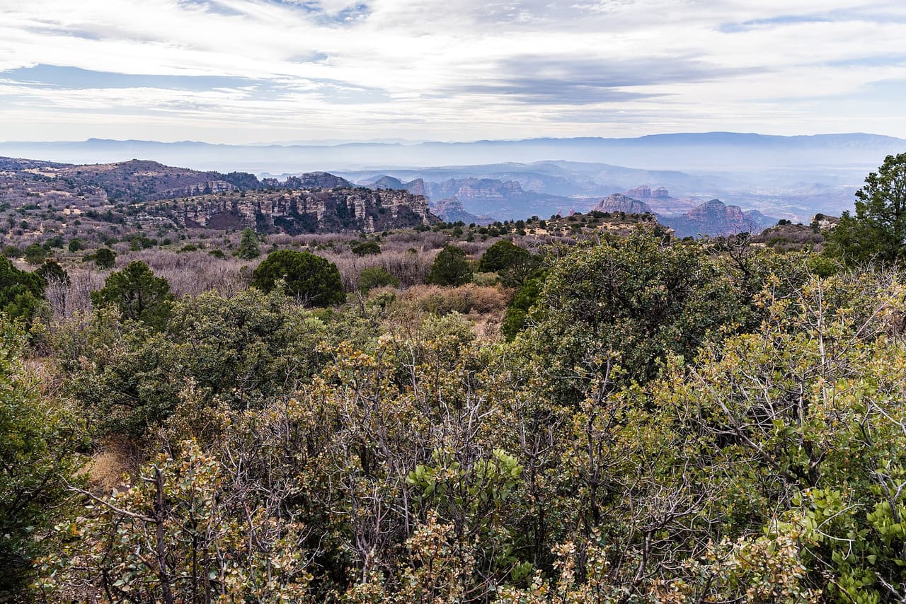
Secret Mountain Trail, Sedona Deborah Lee Soltesz from Flagstaff, AZ (CC0-1.0)
Sedona · Trails

Secret Mountain Trail is 5.35 miles near Sedona, in the Mogollon Rim Ranger District of Coconino National Forest, as trail number 109. Read the numbers together: five and a third miles at a typical grade of 12 to 20 percent is a hard day, not a long walk. It is class 2, on native material. The allowed uses are not posted, so ask before you ride. The roads that reach this part of the district are rough, so plan the access with that office first.

Verified Verified
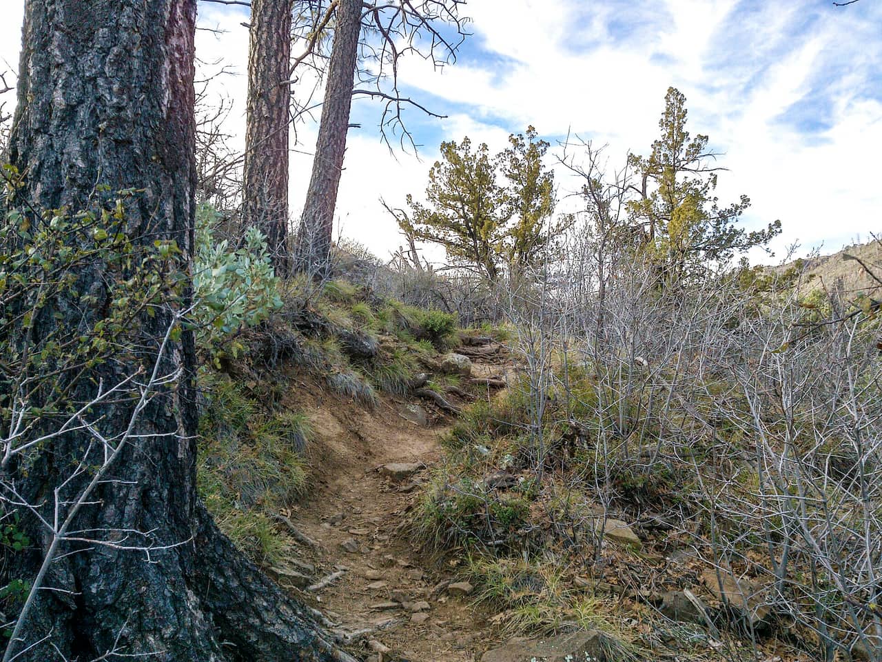
Sedona · Trails

Secret Slickrock Trail is 0.4 miles near Sedona, in the Red Rock Ranger District of Coconino National Forest, as trail number 202B. The letter puts it in the family that shares the number 202 on that side of town. The typical grade is 10 to 12 percent, steep for under half a mile, and the surface is native material. It is recorded as trail class 2. The allowed uses are not posted for this one, so ask before you ride. Plan it as one leg of a loop built from that network.

Verified Verified
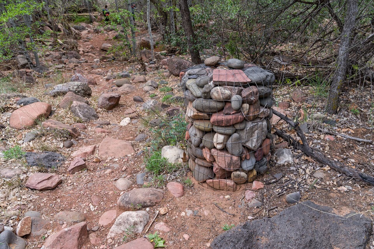
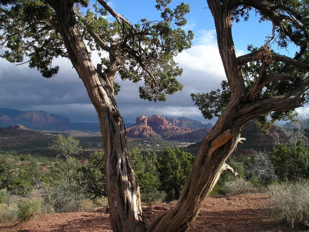
Sedona View Trail, Sedona inkknife_2000 (7.5 million views +) (CC BY-SA 2.0)
Sedona · Trails

Walkers heading out from Sedona, Arizona will find Sedona View Trail at 0.7 miles long, in the Red Rock Ranger District of the Coconino National Forest. The tread is dirt and rock left in place, and grades of 10-12% mean the miles tilt uphill in places. It carries the number 169 and is held to class 3 standards. Storm runoff moves dirt around, so the tread may look different from one season to the next. Carry water, wear shoes with grip, and give yourself more time than the distance suggests. For closures, dog rules, or parking questions, the Red Rock Ranger District is the place to ask.

Verified Verified
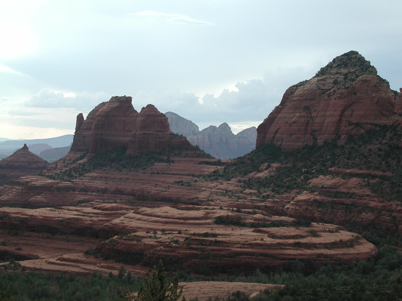
Camp Verde · Trails

Sheep Trail is 2.46 miles near Camp Verde, in the Verde Ranger District of Prescott National Forest, as trail number 0532. The typical grade is 5 to 8 percent, moderate and steady rather than steep, and the surface is native material. It is recorded as trail class 2. Hiking, horses and bicycles are all listed as allowed uses, and no motorized use is listed, which usually makes for a quieter walk than the shared routes nearby. At this distance it is a straightforward morning out. Trailhead directions are not posted or water details, so check with the district office before the drive.

Verified Verified
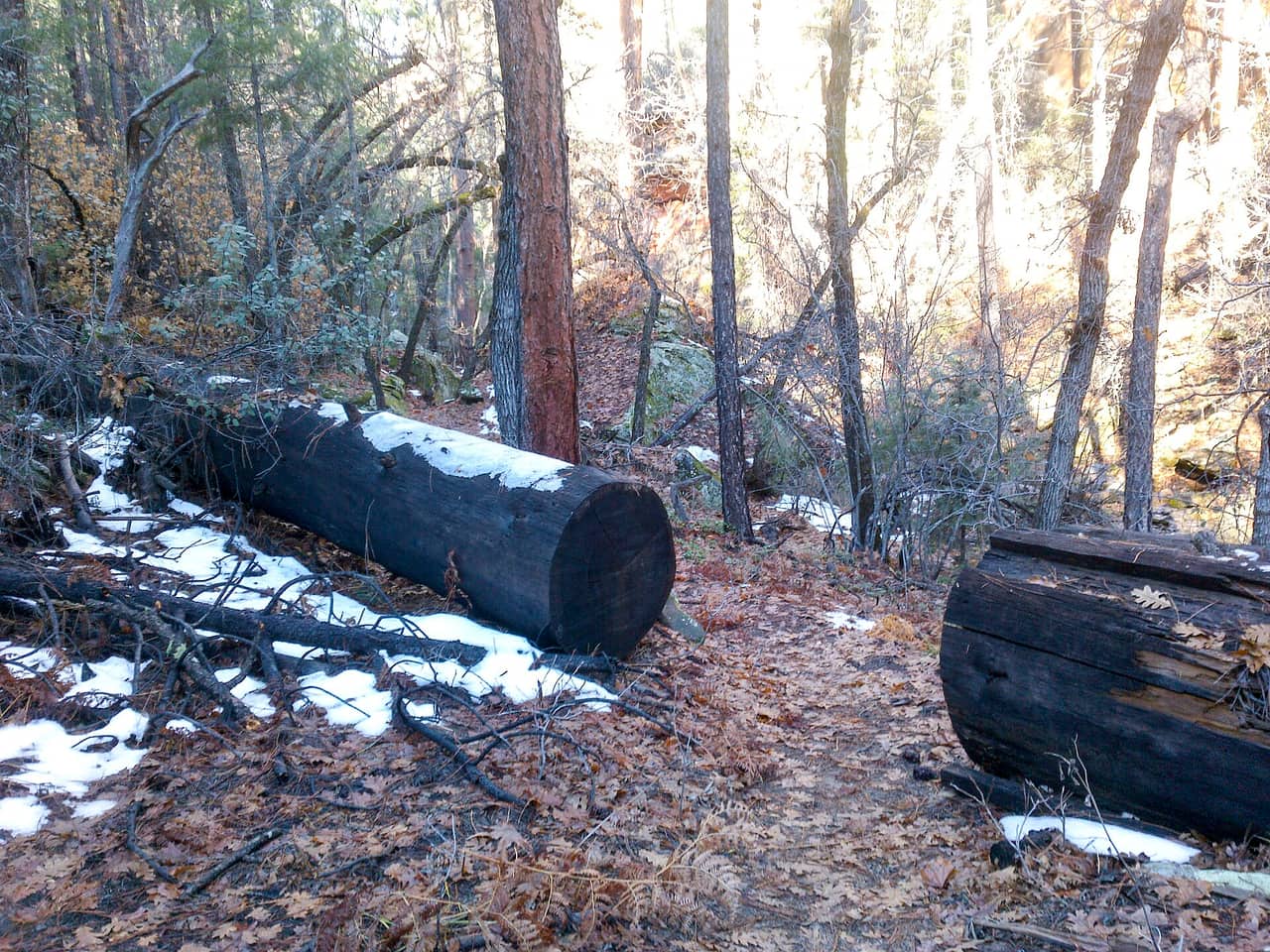
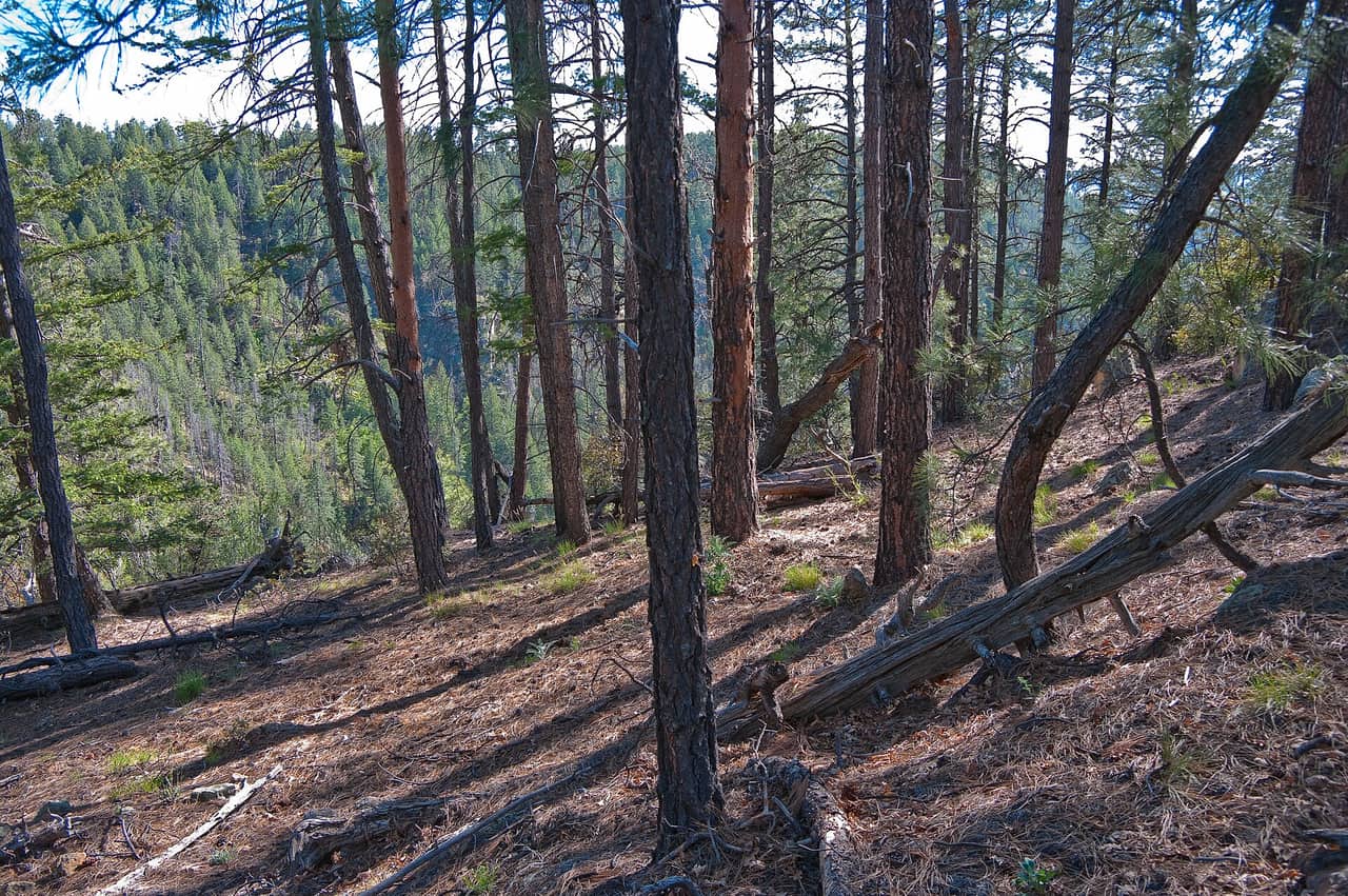
Sedona · Trails

Shorty Trail is public land walking in the Coconino National Forest, 0.15 miles of it, managed by the Red Rock Ranger District close to Sedona, Arizona. The tread is dirt and rock left in place, and grades of 8-10% mean the miles climb at a steady pitch. It carries the number 661A and is held to class 3 standards. Rain and snowmelt can leave the footing slick, and washes may hold water for a day or two. Pack water and a hat. Shade comes and goes, and afternoons heat up fast. The Red Rock Ranger District can tell you about closures and any pass you need to leave a car at the start.

Verified Verified
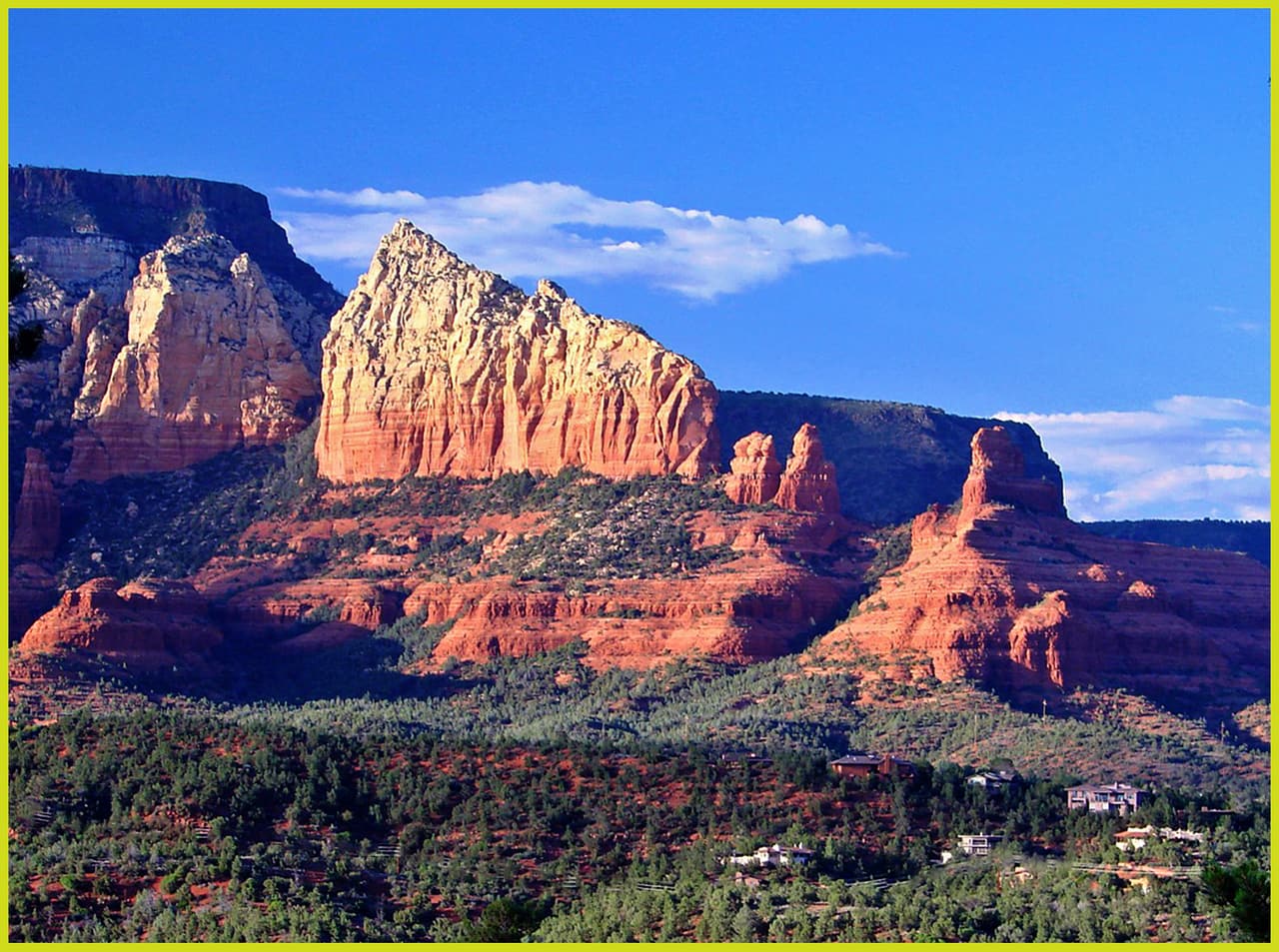
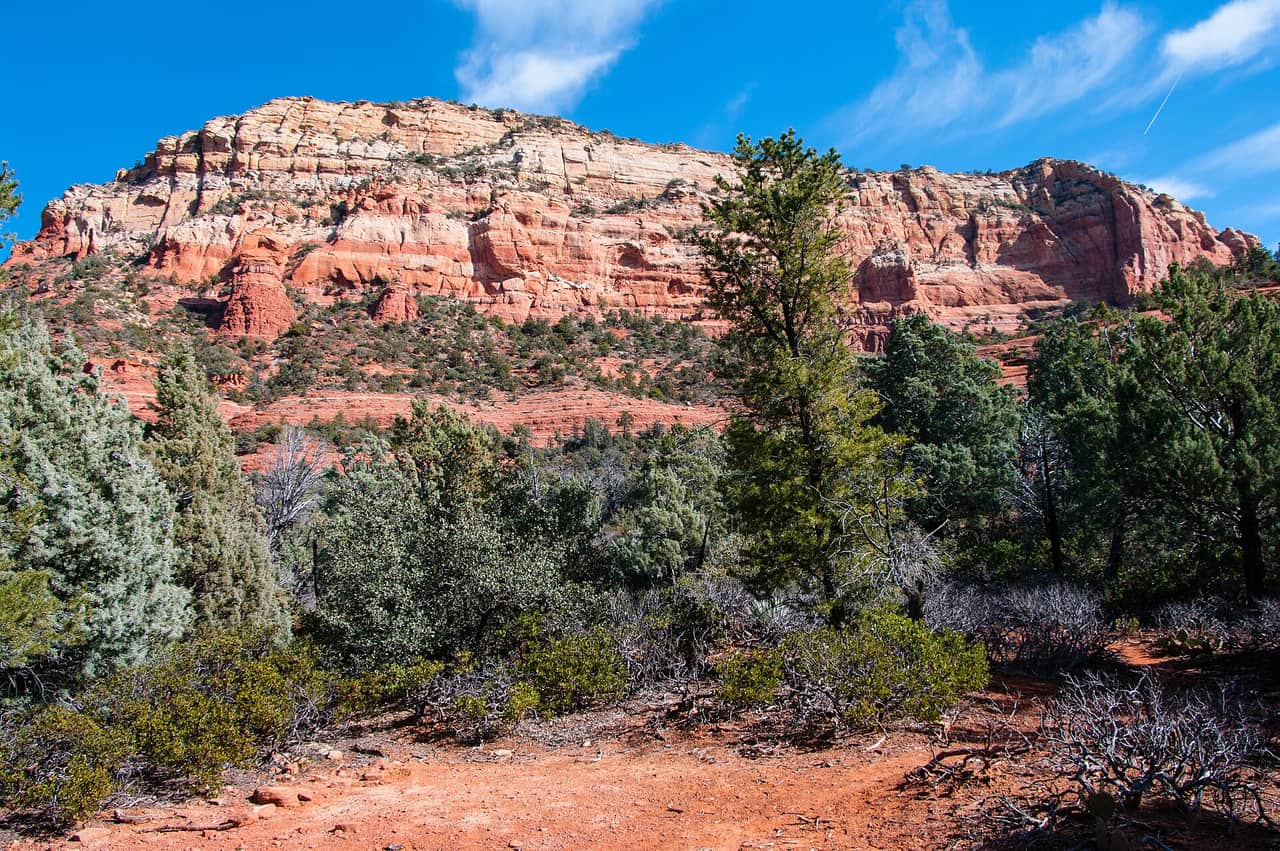
Verde Village · Trails

A loop of 2.02 miles on native dirt, with grades held to the 0 to 5 percent band, so it stays close to level for its whole length. Trail 1002 is rated class 3, meaning a defined and reasonably built tread rather than a faint path. The Red Rock Ranger District of the Coconino National Forest manages it. Allowed uses are not listed here, so ask the ranger district before bringing a bicycle or a horse. A flat loop of this length works well for an easy outing or a walk with children. Conditions on dirt change after rain, so check before you drive out.
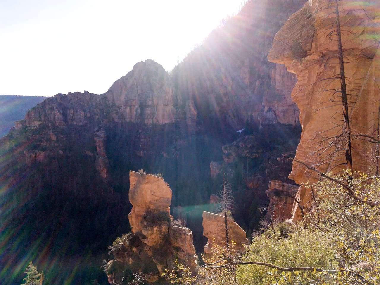
Verified Verified
Verde Village · Trails

Under a mile at 0.92 miles, this is a short route, but the grades reach the 10 to 12 percent band, so it gains height fast for its length. The tread is native dirt. Bicycles, horses, and hiking are the listed uses, and no motorized travel is included. Trail 0516 carries a class 2 rating, meaning a simple tread with light construction. The Verde Ranger District of the Prescott National Forest manages it. Short and steep suits a quick workout or a link in a longer loop. Footing on a steep dirt pitch turns slick when wet, so check conditions with the ranger district first.

Verified Verified
Sedona · Trails

Signed as trail 672, Sketch Trail stretches 1.22 miles in the Red Rock Ranger District of the Coconino National Forest near Sedona, Arizona. The tread is dirt and rock left in place, and grades of 10-12% mean the miles tilt uphill in places. It is held to class 3 standards. Loose rock turns up after storms, so watch your step on the downhill side. Take water for everyone in your group, and turn back if the weather changes. Check with the Red Rock Ranger District for closures, fire limits, and parking rules before you drive out.

Verified Verified
Sedona · Trails

Skywalker Trail covers 1.9 miles inside the Red Rock Ranger District of the Coconino National Forest, on the public land around Sedona, Arizona. The tread is dirt and rock left in place, and grades of 10-12% mean the miles tilt uphill in places. It carries the number 669 and is held to class 3 standards. Cool mornings are the easier time to walk it, and light fades quickly in the canyons. Sturdy shoes help, and so does an early start in summer. Ask the Red Rock Ranger District about current conditions and where you may park at the start.

Verified Verified
Village of Oak Creek · Trails

Slim Shady Trail is a public forest path of roughly 2.43 miles close to the Village of Oak Creek, Arizona. Its surface is native material and its grade is given as 5-8%. The rating is trail class 3, and the number on the signs is 173. Day to day care comes from the Red Rock Ranger District of the Coconino National Forest. Phone service is not reliable on forest land, so save a map before you leave town. Plan a turnaround time, and turn back early if the light or the weather changes.

Verified Verified
Sedona · Trails

Snake Trail is 0.48 miles near Sedona, in the Red Rock Ranger District of Coconino National Forest, as trail number 162C. The letter marks it as a branch of the route numbered 162, which is a much longer trail. The typical grade is 5 to 8 percent, the surface is native material, and the trail class is 2. The allowed uses are not posted for this one, so ask before you ride. Under half a mile, it is a connector, and it makes most sense read alongside the longer route.

Verified Verified
Clarkdale · Trails

Sob Canyon Trail runs 6.5 miles near Clarkdale, in the Bradshaw Ranger District of Prescott National Forest. It is trail number 9001. The typical grade is 8 to 10 percent across that distance, so the climbing adds up. Native material underfoot, class 3. Hiking, horses, bicycles and ATVs are all listed as allowed uses, so this is a shared canyon route and you may meet motorized traffic in it. Canyon routes change with storms and there is no listing for conditions. Check the district office before you drive out, particularly after heavy rain.

Verified Verified
Sedona · Trails

A short drive from Sedona, Arizona, Soldier Pass Spur a Trail runs 0.2 miles through the Coconino National Forest and is looked after by the Red Rock Ranger District. Dirt and rock underfoot, with a 5-8% grade that climbs steadily rather than sharply. It carries the number 66A and is held to class 2 standards. Other people share the path, so listen for riders and bikes coming from behind. Bring more water than you think you need, and tell someone your plan. Call the Red Rock Ranger District first if you want to know about fire limits or a temporary closure.

Verified Verified
Soldier Pass Trail, Sedona Coconino NF Photography (CC0-1.0)
Sedona · Trails

Soldier Pass Trail is a hiking trail in Sedona, Arizona. It is trail number 66 in the Coconino National Forest, and the Red Rock Ranger District manages it. The trail is 2.1 miles long. Its grade runs from 5 to 8 percent, a steady but moderate climb for most hikers. The surface is native material, which means dirt and rock rather than pavement. It is rated trail class 2, a simple path with few built features, so expect uneven footing and wear sturdy shoes. Bring water, and check with the ranger district for current trail conditions before you go.

Verified Verified
Sterling Pass Trail, Sedona davidpinter (CC BY 3.0)
Sedona · Trails

Sterling Pass Trail is 2.4 miles near Sedona, in the Red Rock Ranger District of Coconino National Forest, as trail number 46. The typical grade is 5 to 8 percent, moderate on paper, but the trail class is 1, the least developed class: rough tread and light marking. The allowed uses are not posted for this one, so ask before you ride. A pass route climbs to a saddle and drops the other side, so expect work in both directions. Carry a map and check conditions with the district office.

Verified Verified
Sedona · Trails

Walkers heading out from Sedona, Arizona will find Stirrup Trail at 2.8 miles long, in the Red Rock Ranger District of the Coconino National Forest. Grades of 0-5% mean the miles stay close to level. It carries the number 162F and is held to class 3 standards. Storm runoff moves dirt around, so the tread may look different from one season to the next. Carry water, wear shoes with grip, and give yourself more time than the distance suggests. For closures, dog rules, or parking questions, the Red Rock Ranger District is the place to ask.

Verified Verified
Sedona · Trails

Sugar Loaf Loop is 0.47 miles near Sedona, in the Red Rock Ranger District of Coconino National Forest, as trail number 184. It is a loop, so you finish where you started, and at under half a mile it is a short one. The typical grade is 5 to 8 percent, the surface is native material, and the trail class is 2. The allowed uses are not posted, so ask before you ride. A summit trail branches off it under a lettered version of the same number.

Verified Verified
Sedona · Trails

This is a 0.2 mile path in the Coconino National Forest. It sits in the Red Rock Ranger District, within reach of Sedona, Arizona. At 5-8% the climb is gentle, and the tread is dirt and rock left as it lies. It carries the number 184A and is held to class 2 standards. Mark where you leave the car. Junctions look alike once you are in the trees. Bring water and sun cover, and start early when the days are warm. Conditions change with storms and fire season, so check with the Red Rock Ranger District before the drive.

Verified Verified
Sedona · Trails

Walkers heading out from Sedona, Arizona will find Summit Route at 0.2 miles long, in the Red Rock Ranger District of the Coconino National Forest. The path rises at 5-8%, steady rather than steep, over dirt and rock. It carries the number 165C and is held to class 2 standards. Storm runoff moves dirt around, so the tread may look different from one season to the next. Carry water, wear shoes with grip, and give yourself more time than the distance suggests. For closures, dog rules, or parking questions, the Red Rock Ranger District is the place to ask.

Verified Verified
Rimrock · Trails

Sunset Loop runs about 2.04 miles on public land near Rimrock, Arizona and is signed as trail number 1006. Grades stay in the 0-5% range, so the loop is close to level and manageable for most walkers. A trail class of 3 marks it as one of the more developed routes in the area, generally wide and clear enough to follow without a map in hand. Upkeep falls to the Red Rock Ranger District of the Coconino National Forest. The distance suits an easy morning or evening walk. Carry water, and check current closures or fire restrictions before you drive out.

Verified Verified
Clarkdale · Trails

Sycamore Basin Trail runs 18.19 miles near Clarkdale, in the Bradshaw Ranger District of Prescott National Forest. It is trail number 0063. That distance puts it among the longest routes we list, and the typical grade of 5 to 8 percent is what makes it walkable at all. Native material underfoot, class 2. Hiking, horses and bicycles are the allowed uses. At eighteen miles, water, heat and daylight decide the day, not fitness. This is a trip to plan with the district office and a map, not one to start on the strength of a listing page.

Verified Verified
Camp Verde · Trails

Sycamore Spring Trail is 2.27 miles near Camp Verde, in the Red Rock Ranger District of Coconino National Forest, as trail number 175. The typical grade is 5 to 8 percent, moderate throughout, and the surface is native material. The trail class is 1, the least developed class, which means rough tread and light marking rather than a graded path. The allowed uses are not posted, so ask before you ride. The spring in the name is not something this page can speak to: nothing is posted about water there. Carry a map, and ask the district office before you drive out.

Verified Verified
Clarkdale · Trails

Sycamore Trail runs 3.1 miles on native material, with no paving and no boardwalk. Grades sit in the 8 to 10 percent range, so expect steady climbing in places. The route is rated trail class 2, which means a built tread that is still rough in spots. It is open to hikers, riders on horseback, bicycles and atv use, so watch for others coming the other way. The trail is numbered 9033 and is managed by the Bradshaw Ranger District of Prescott National Forest. Check with the ranger district for current conditions, closures and any use limits before you drive out, because weather and fire can change access quickly.

Verified Verified
Sedona · Trails

Table Top Trail is a short trail near Sedona, Arizona. It is numbered 211 and runs 0.43 miles on native material, meaning plain dirt and rock rather than a built or paved surface. The grade is 5-8%, so it climbs steadily without being steep. It is recorded as trail class 1, the least developed class, so expect a narrow path with little signing and no built structures. The trail sits in the Red Rock Ranger District of the Coconino National Forest. Most trailheads on that forest need a pass on the dashboard. Carry water, and start early in summer, because there is no shade to count on.

Verified Verified
Sedona · Trails

Taylor Cabin Trail is public land walking in the Coconino National Forest, 3.0 miles of it, managed by the Red Rock Ranger District close to Sedona, Arizona. Grades run 5-8%, so the climbing is gradual, and the footing is plain dirt and rock. It carries the number 35 and is held to class 2 standards. Rain and snowmelt can leave the footing slick, and washes may hold water for a day or two. Pack water and a hat. Shade comes and goes, and afternoons heat up fast. The Red Rock Ranger District can tell you about closures and any pass you need to leave a car at the start.

Verified Verified
Sedona · Trails

Signed as trail 183, Tea Cup Trail stretches 1.65 miles in the Red Rock Ranger District of the Coconino National Forest near Sedona, Arizona. The tread is dirt and rock left in place, and grades of 5-8% mean the miles climb gently. It is held to class 3 standards. Loose rock turns up after storms, so watch your step on the downhill side. Take water for everyone in your group, and turn back if the weather changes. Check with the Red Rock Ranger District for closures, fire limits, and parking rules before you drive out.

Verified Verified
Sedona · Trails

Telephone Trail covers 0.87 miles inside the Red Rock Ranger District of the Coconino National Forest, on the public land around Sedona, Arizona. Dirt and rock underfoot, with a 5-8% grade that climbs steadily rather than sharply. It carries the number 72 and is held to class 2 standards. Cool mornings are the easier time to walk it, and light fades quickly in the canyons. Sturdy shoes help, and so does an early start in summer. Ask the Red Rock Ranger District about current conditions and where you may park at the start.

Verified Verified
Village of Oak Creek · Trails

Near the Village of Oak Creek, Arizona, Templeton Trail covers about 3.7 miles. Grade is 5-8% and the walking surface is native material. The route holds a trail class 3 rating and is numbered 156. It lies in the Coconino National Forest, in the Red Rock Ranger District. Plan a turnaround time, and turn back early if the light or the weather changes. Check current conditions before you go, because weather, fire, or repair work can close a route. Carry water and tell someone where you plan to walk.

Verified Verified
Sedona · Trails

Thomas Point Trail is 1.0 miles near Sedona, in the Red Rock Ranger District of Coconino National Forest, as trail number 142. It climbs at a typical 5 to 8 percent, over native material. The trail class is 1, the least developed class, so expect rough tread and light marking rather than a graded path. The allowed uses are not posted for this one, so ask before you ride. A mile on a class 1 trail asks more of you than a mile on a built one. Carry a map.

Verified Verified
Sedona · Trails

A short drive from Sedona, Arizona, Thompson Ladder Trail runs 2.25 miles through the Coconino National Forest and is looked after by the Mogollon Rim Ranger District. The tread is dirt and rock left in place, and grades of 12-20% mean the miles get steep in stretches. It carries the number 14 and is held to class 2 standards. Other people share the path, so listen for riders and bikes coming from behind. Bring more water than you think you need, and tell someone your plan. Call the Mogollon Rim Ranger District first if you want to know about fire limits or a temporary closure.

Verified Verified
Cottonwood · Trails

Thumper Trail covers about 2.3 miles and is numbered 131. Its surface is native material, so dirt and rock rather than gravel or pavement. Grades run about 5 to 8 percent, a steady pull rather than a scramble. It is rated trail class 2, which means a simple path with few built features and less signing than a busier route. The Coconino National Forest manages it through the Red Rock Ranger District. Take a map, since a class 2 path can be faint in places. Water, sun protection and sturdy shoes matter on open ground. Check with the ranger district for closures before you set out.

Verified Verified
Thunder Mountain Trail, Sedona Eric Johnson (CC BY-SA 3.0)
Sedona · Trails

Thunder Mountain Trail is 3.8 miles near Sedona, in the Red Rock Ranger District of Coconino National Forest, as trail number 165. The typical grade is 5 to 8 percent, moderate across nearly four miles, and the surface is native material. The trail class is 3, which usually means a clear and well defined tread. The allowed uses are not posted, so ask before you ride. Several short lettered trails branch off this number, so the map is worth studying if you want a loop rather than an out and back.

Verified Verified
Cornville · Trails

Tissaw Link Trail is a very short connector in the Cornville area of Arizona. It covers about 0.23 miles, so it takes only a few minutes to walk end to end. The grade is 0 to 5 percent, which is close to level. The surface is native material, so the tread is dirt and rock. It carries the number 1000B and a trail class of 3. It sits in the Red Rock Ranger District, part of the Coconino National Forest. Short links like this one join longer routes, so look at a map of the whole system before you set out. Check the forest website for closures, and carry water.

Verified Verified
Camp Verde · Trails

Tomkins Trail is 4.66 miles near Camp Verde, in the Verde Ranger District of Prescott National Forest, as trail number 0513. The typical grade is 10 to 12 percent, so there is steady climbing across the whole distance rather than one short pitch. The tread is native material; the class is 2. Hiking, horses, bicycles and ATVs are all listed as allowed uses, which makes this shared ground with possible motorized traffic. Trailhead directions are not posted or water details for it, so check with the district office before you make the drive out.

Verified Verified
Turkey Creek Trail, Village of Oak Creek Coconino National Forest (CC0-1.0)
Village of Oak Creek · Trails

Turkey Creek Trail runs about 3.41 miles through the red rock country around the Village of Oak Creek, Arizona. The grade is listed at 5-8%, so there is some climbing but nothing sustained for long. Walkers cross native material. It is signed as trail number 92 and rated trail class 2. The Red Rock Ranger District of the Coconino National Forest takes care of it. Check current conditions before you go, because weather, fire, or repair work can close a route. Carry water and tell someone where you plan to walk.

Verified Verified
Sedona · Trails

This is a 0.64 mile path in the Coconino National Forest. It sits in the Red Rock Ranger District, within reach of Sedona, Arizona. The tread is dirt and rock left in place, and grades of 10-12% mean the miles tilt uphill in places. It carries the number 125F and is held to class 2 standards. Mark where you leave the car. Junctions look alike once you are in the trees. Bring water and sun cover, and start early when the days are warm. Conditions change with storms and fire season, so check with the Red Rock Ranger District before the drive.

Verified Verified
Sedona · Trails

Two Fence Trail is 0.7 miles near Sedona, in the Red Rock Ranger District of Coconino National Forest, as trail number 162A. The letter marks it as a branch of the longer route numbered 162. The typical grade is 5 to 8 percent, the surface is native material, and the trail class is 2. The allowed uses are not posted for this one, so ask before you ride. Under three quarters of a mile, this is a connector, and the sensible way to read it is on a map with the route it leaves.

Verified Verified
Camp Verde · Trails

Underhill Trail is a short route of about 1.3 miles in the Prescott National Forest. The Verde Ranger District manages it and it is numbered 0528. Hiking, horseback riding, bicycles and all terrain vehicles are all allowed, so expect mixed traffic. Grades run from 8 to 10 percent, a moderate climb. The surface is native material, meaning dirt and rock. It is rated trail class 3, so the tread is better built than on the plainest routes in the district. The short length suits a quick outing or a link between longer trails. Check conditions with the Verde Ranger District.

Verified Verified
Jerome · Trails

Upper Mescal Trail is 1.01 miles near Jerome, in the Verde Ranger District of Prescott National Forest. It is trail number 0550. The typical grade is 12 to 20 percent, the steepest band are listed, so a mile here is slow going in the uphill direction. Native material underfoot, class 2. Hiking, horses and bicycles are all listed as allowed uses. The word upper in the name usually signals the higher half of a longer route, so check how it links before you plan it as a walk on its own.

Verified Verified
Verde Village · Trails

Very short at 0.14 miles, this is a connector rather than a destination. Grades run from 0 to 5 percent, so it is essentially flat, and the tread is native dirt. Trail 1000A is rated class 3, which means a defined and reasonably built surface despite the short distance. It sits in the Red Rock Ranger District, part of the Coconino National Forest. Allowed uses are not listed here, so ask the ranger district before bringing a bicycle or a horse. Because it exists to join other routes, look at a district map to see what it connects to before planning around it.

Verified Verified
Jerome · Trails

View Point Trail is 3.06 miles near Jerome, in the Verde Ranger District of Prescott National Forest, as trail number 0106. The typical grade is 12 to 20 percent, the steepest band listed here, so three miles here is a hard day rather than an easy one. It is class 2, on native material. Hiking, horses and bicycles are all listed as allowed uses. Nothing is posted about what the view is, or from where, so treat the name as a name. Ask the district office about conditions before you drive up.

Verified Verified
Vultee Arch Trail, Sedona Coconino National Forest (CC0-1.0)
Sedona · Trails

Walkers heading out from Sedona, Arizona will find Vultee Arch Trail at 1.66 miles long, in the Red Rock Ranger District of the Coconino National Forest. At 5-8% the climb is gentle, and the tread is dirt and rock left as it lies. It carries the number 22 and is held to class 2 standards. Storm runoff moves dirt around, so the tread may look different from one season to the next. Carry water, wear shoes with grip, and give yourself more time than the distance suggests. For closures, dog rules, or parking questions, the Red Rock Ranger District is the place to ask.

Verified Verified
Rimrock · Trails

Walker Basin Trail covers about 6.91 miles on public land near Rimrock, Arizona, signed as trail number 81. Grades in the 5-8% range make the climbing steady rather than sudden. The tread is native material, so you walk on dirt and rock that can shift underfoot. With a trail class of 2, the path is simply built: easy enough to follow, but without paving or many signs. The Red Rock Ranger District of the Coconino National Forest manages the route. Treat it as a half day or longer, carry water for the whole distance, and leave word of your plan before you go.

Verified Verified
Sedona · Trails

Ward Trail is public land walking in the Coconino National Forest, 6.05 miles of it, managed by the Mogollon Rim Ranger District close to Sedona, Arizona. It carries the number 231A and is held to class 3 standards. Rain and snowmelt can leave the footing slick, and washes may hold water for a day or two. Pack water and a hat. Shade comes and goes, and afternoons heat up fast. The Mogollon Rim Ranger District can tell you about closures and any pass you need to leave a car at the start.

Verified Verified
Rimrock · Trails

Weir Trail is a brief walk near Rimrock, Arizona, running about 0.5 miles. It is signed as trail number 85. Grades sit in the 5-8% range, so there is a light rise along the way, and the surface is native material, which means dirt and rock rather than a smooth path. A trail class of 2 marks it as simply built and clear to follow without being paved or heavily signed. This is Red Rock Ranger District land, on the Coconino National Forest. The short distance suits a quick trip outdoors. Still bring water, and check for closures or fire limits first.

Verified Verified
Rimrock · Trails

Well Overlook Trail is a brief path near Rimrock, Arizona, running about 0.45 miles. It is signed as trail number 1006A. Grades of 0-5% keep it nearly level, so the walking is easy and the time outdoors is short. Its trail class of 3 places it among the more developed routes in the area, which usually means a clear tread that is simple to follow. The Coconino National Forest holds this ground, through its Red Rock Ranger District. Shade is limited on most paths here, so carry water in warm months and check for closures or fire restrictions before you set out.

Verified Verified
West Clear Creek Trail, Rimrock Coconino National Forest (CC0-1.0)
Rimrock · Trails

Running about 6.99 miles, West Clear Creek Trail is one of the longer routes near Rimrock, Arizona. It is signed as trail number 17. Grades fall in the 5-8% range, and the tread is native material, so the walking is on dirt and rock with some loose patches. A trail class of 2 means a simply built path: followable, but with few signs and no paving. The Red Rock Ranger District of the Coconino National Forest manages it. Give yourself most of a day, carry more water than a short hike needs, and check the weather, since storms can change conditions quickly.

Verified Verified
West Fork Trail, Sedona Coconino National Forest (public-domain)
Sedona · Trails

West Fork Trail is public land walking in the Coconino National Forest, 3.2 miles of it, managed by the Red Rock Ranger District close to Sedona, Arizona. The path rises at 5-8%, steady rather than steep, over dirt and rock. It carries the number 108 and is held to class 2 standards. Rain and snowmelt can leave the footing slick, and washes may hold water for a day or two. Pack water and a hat. Shade comes and goes, and afternoons heat up fast. The Red Rock Ranger District can tell you about closures and any pass you need to leave a car at the start.

Verified Verified
Jerome · Trails

West Rim Trail runs 1.04 miles on native dirt near Jerome, Arizona, with a grade between 12 and 20 percent. It is short but steep, so the effort per mile is high. Bicycles, horses and people on foot are all permitted. Trail class 2 describes the tread: a basic path, kept passable rather than smooth. The route number is 0538, and the Verde Ranger District of the Prescott National Forest looks after it. Since it is brief, many people join it to a longer loop. Ask the district office about conditions, closures and fire restrictions before you drive out to the trailhead.

Verified Verified
White Bridge Trail, Camp Verde Coconino National Forest (public-domain)
Camp Verde · Trails

White Bridge Trail is very short, about 0.11 miles, and it is paved with asphalt rather than left as dirt. That makes it unusual among the routes in the Prescott National Forest around here, and easier for people who do not want rough ground. The grade is gentle, between 0 and 5 percent. Hiking is the only listed use. It is rated trail class 4, the most developed class in this set, which fits a short paved path. The Verde Ranger District manages it, and it carries the number 0522. Ask the district about parking and access before you go.

Verified Verified
Cornville · Trails

White Hills Loop is a long loop in the Cornville area of Arizona, running about 17.6 miles. The grade stays between 0 and 5 percent, so it is a distance walk or ride rather than a climb. It carries the number 1020 and a trail class of 3. The Red Rock Ranger District of the Coconino National Forest manages the route. A day this long needs planning, so start early, carry plenty of water, and tell someone when you expect to be back. Look up closures, fire restrictions, and the weather on the forest website first, because conditions in open country change fast.

Verified Verified
Rimrock · Trails

White Mesa Trail runs about 1.18 miles on public land near Rimrock, Arizona, and is signed as trail number 86. Grades stay in the 5-8% range, giving a gentle, steady climb over a modest distance. The surface is native material, so expect dirt and rock underfoot rather than gravel or pavement. Rated trail class 2, the path is simply built and clear to follow, though signs along the way are limited. It sits in the Red Rock Ranger District, part of the Coconino National Forest. The length works well for a short morning outing. Carry water and check for fire restrictions before you drive out.

Verified Verified
Sedona · Trails

Willard Trail is 4.83 miles near Sedona, in the Mogollon Rim Ranger District of Coconino National Forest, as trail number 245B. The letter puts it in the family sharing the number 245, and it is one of the longer members. The typical grade is 5 to 8 percent, moderate for the distance, and the surface is native material. Trail class 3. The allowed uses are not posted, so ask before you ride. Nearly five miles is a half day, and that district's roads are rough.

Verified Verified
Wilson Canyon Trail, Sedona On^ste82 (CC BY 3.0)
Sedona · Trails

Signed as trail 49, Wilson Canyon Trail stretches 1.16 miles in the Red Rock Ranger District of the Coconino National Forest near Sedona, Arizona. Grades run 5-8%, so the climbing is gradual, and the footing is plain dirt and rock. It is held to class 2 standards. Loose rock turns up after storms, so watch your step on the downhill side. Take water for everyone in your group, and turn back if the weather changes. Check with the Red Rock Ranger District for closures, fire limits, and parking rules before you drive out.

Verified Verified
Sedona · Trails

Wilson Mountain Spur a Trail covers 0.79 miles inside the Red Rock Ranger District of the Coconino National Forest, on the public land around Sedona, Arizona. The tread is dirt and rock left in place, and grades of 5-8% mean the miles climb gently. It carries the number 10A and is held to class 1 standards. Cool mornings are the easier time to walk it, and light fades quickly in the canyons. Sturdy shoes help, and so does an early start in summer. Ask the Red Rock Ranger District about current conditions and where you may park at the start.

Verified Verified
Sedona · Trails

Wilson Mountain Spur B Trail is 0.32 miles near Sedona, in the Red Rock Ranger District of Coconino National Forest, as trail number 10B. It is one of several lettered spurs off the route numbered 10. Expect native material and a typical grade of 5 to 8 percent. The trail class is 1, the least developed class there is, so expect rough ground and few signs. No list of allowed uses is posted for this spur, so read the signs at the junction. Plan the main trail rather than this branch.

Verified Verified
Sedona · Trails

Wilson Mountain Spur D Trail is 0.29 miles near Sedona, in the Red Rock Ranger District of Coconino National Forest, as trail number 10D. It is another of the lettered spurs off the route numbered 10, and the shortest of those listed. Native material underfoot, at a typical grade of 5 to 8 percent. The trail class is 1, the least developed class. The allowed uses are not posted for this one, so ask before you ride. Read it on a map with the main climb.

Verified Verified
Wilson Mountain Trail, Sedona davidpinter (CC BY 3.0)
Sedona · Trails

A short drive from Sedona, Arizona, Wilson Mountain Trail runs 5.55 miles through the Coconino National Forest and is looked after by the Red Rock Ranger District. Dirt and rock underfoot, with a 5-8% grade that climbs steadily rather than sharply. It carries the number 10 and is held to class 2 standards. Other people share the path, so listen for riders and bikes coming from behind. Bring more water than you think you need, and tell someone your plan. Call the Red Rock Ranger District first if you want to know about fire limits or a temporary closure.

Verified Verified
Sedona · Trails

This is a 5.65 mile path in the Coconino National Forest. It sits in the Mogollon Rim Ranger District, within reach of Sedona, Arizona. The tread is dirt and rock left in place, and grades of 12-20% mean the miles get steep in stretches. It carries the number 70 and is held to class 2 standards. Mark where you leave the car. Junctions look alike once you are in the trees. Bring water and sun cover, and start early when the days are warm. Conditions change with storms and fire season, so check with the Mogollon Rim Ranger District before the drive.

Verified Verified
Woods Canyon Trail, Village of Oak Creek Coconino National Forest (CC0-1.0)
Village of Oak Creek · Trails

Trail number 93 carries the name Woods Canyon Trail. It covers about 5.22 miles on public land near the Village of Oak Creek, Arizona. The route is built on native material and is rated trail class 2. Grade on the path is given as 5-8%. Care of the trail falls to the Red Rock Ranger District of the Coconino National Forest. Carry water and tell someone where you plan to walk. Wear shoes with good grip and give yourself time to get back. Match the trail number to the signs at junctions so you stay on the route you meant to take.

Verified Verified
Village of Oak Creek · Trails

Yavapai Vista Trail is 0.3 miles near Village of Oak Creek, in the Red Rock Ranger District of Coconino National Forest, as trail number 172. The typical grade is 5 to 8 percent, the surface is native material, and the trail class is 3, which usually means a clear tread. The allowed uses are not posted, so ask before you ride. At under a third of a mile this is a short walk rather than an outing, and several lettered trails branch from the same number. Nothing is posted about what can be seen from it.

Verified Verified
Clarkdale · Trails

Yew Thicket Trail is 2.14 miles near Clarkdale, as trail number 0052. The typical grade is 5 to 8 percent, moderate for the distance, and the surface is native material. The recorded trail class is 2. Hiking and horses are the listed uses; bicycles are not. one caution about this page rather than the trail: the managing forest and the managing district listed for it do not match each other, so we are not stating either here until we can check which is right. That also means we cannot tell you which office to call. Look the trail number up before you go.

Verified Verified
Sedona · Trails

Walkers heading out from Sedona, Arizona will find Yucca Trail at 0.38 miles long, in the Red Rock Ranger District of the Coconino National Forest. At 5-8% the climb is gentle, and the tread is dirt and rock left as it lies. It carries the number 174E and is held to class 2 standards. Storm runoff moves dirt around, so the tread may look different from one season to the next. Carry water, wear shoes with grip, and give yourself more time than the distance suggests. For closures, dog rules, or parking questions, the Red Rock Ranger District is the place to ask.

Verified Verified
Verde Village · Trails

Zalesky Loop is 0.38 miles near Verde Village, in the Red Rock Ranger District of Coconino National Forest, as trail number 1001. It is a loop, so you end where you began, and at this length it is a short one. The typical grade is 0 to 5 percent, effectively flat, and the surface is native material. It is recorded as trail class 3. The allowed uses are not posted, so ask before you ride. Short, flat and a loop makes this about as approachable as anything we list, and it works well as an add on to a longer walk nearby.

Verified Verified