
Nearby
Close to Little Horse Trail
Crystal Point Trail covers about 3.21 miles and is signed as trail 24. It sits on the Coconino National Forest and is looked after by the Mogollon Rim Ranger District. Expect native material underfoot rather than a built or paved path. Grades run between 12 and 20 percent, so expect that much climb and drop. Forest records put it at trail class 3. Footing gets slick for a while after rain. Carry your own water, because there is none to fill up along the way. Storms and snow change conditions fast, so ask the ranger district about closures before you drive out.
Verified Verified
Look for trail 240 on forest signs and maps. That is Munds Canyon Trail, a route of roughly 2.25 miles inside the Coconino National Forest. The Mogollon Rim Ranger District manages it. The surface is native material, which means packed dirt and rock rather than paving. Slopes fall in the 5 to 8 percent band, and the route is rated trail class 3. Pack out everything you carry in, food scraps included. Temperatures swing a lot between morning and afternoon, so dress in layers. Tell someone where you are going and when you plan to be back.
Verified Verified
A short drive from Sedona, Arizona, Rocky Road Trail runs 4.59 miles through the Coconino National Forest and is looked after by the Mogollon Rim Ranger District. At 5-8% the climb is gentle, and the tread is dirt and rock left as it lies. It carries the number 241 and is held to class 3 standards. Other people share the path, so listen for riders and bikes coming from behind. Bring more water than you think you need, and tell someone your plan. Call the Mogollon Rim Ranger District first if you want to know about fire limits or a temporary closure.
Verified Verified
Mud Tank Trail covers about 0.83 miles and is signed as trail 242. It sits on the Coconino National Forest and is looked after by the Mogollon Rim Ranger District. Expect native material underfoot rather than a built or paved path. Grades run between 5 and 8 percent, so expect that much climb and drop. Forest records put it at trail class 3. Storms and snow change conditions fast, so ask the ranger district about closures before you drive out. Small lots fill early on weekends and holidays. Stay on the worn tread to keep the soil and plants around it intact.
Verified Verified
Brads Trail covers 1.01 miles and sits in the Mogollon Rim Ranger District of the Coconino National Forest, which sets it apart from most of the routes listed nearby. It is signed as trail 243. Grades run between 5 and 8 percent, so the walking is steady. The surface is native material, dirt and rock left as found. Its trail class 3 rating points to a slightly more developed path than many trails around it, usually meaning a clearer tread and better signs along the way. Carry water, check the forecast and confirm access before you drive out.
Verified Verified
More
All trails in Sedona → Also in Trails
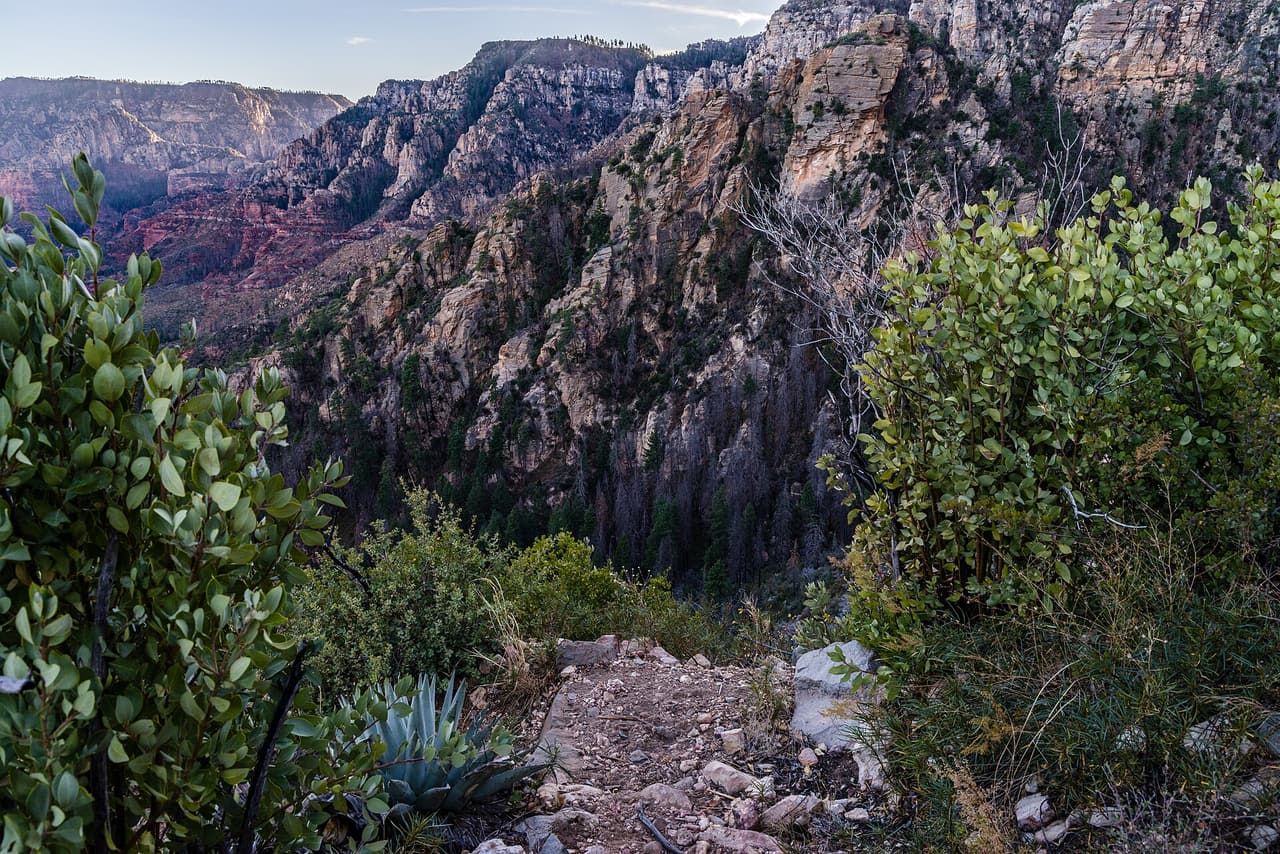 Coconino National Forest (CC0-1.0)
A B Young Trail covers 2.09 miles near Sedona, in the Red Rock Ranger District of Coconino National Forest. It is trail number 100. The typical grade is 10 to 12 percent, which is steep enough that the mileage understates the effort, and the surface is native material. It is a class 2 trail. The allowed uses are not posted, so ask before you ride. This is a well known climb and it can be busy, so an early start helps with both parking and heat. Trailhead parking details are not posted, and parking rules around Sedona change, so check before you drive out.
Verified Verified
Adobe Jack Trail is a 2.1 mile path in the Coconino National Forest near Sedona, Arizona. The Red Rock Ranger District takes care of it. The tread is native material, so you walk on packed dirt and rock rather than pavement. Grades run about 8 to 10 percent, which means steady short climbs rather than flat walking. It is listed as trail number 660 and rated trail class 2, a simple developed path with no pavement and no railings. Wear shoes with grip, carry more water than you think you need, and check the district for closures before you drive out to the trailhead.
Verified Verified
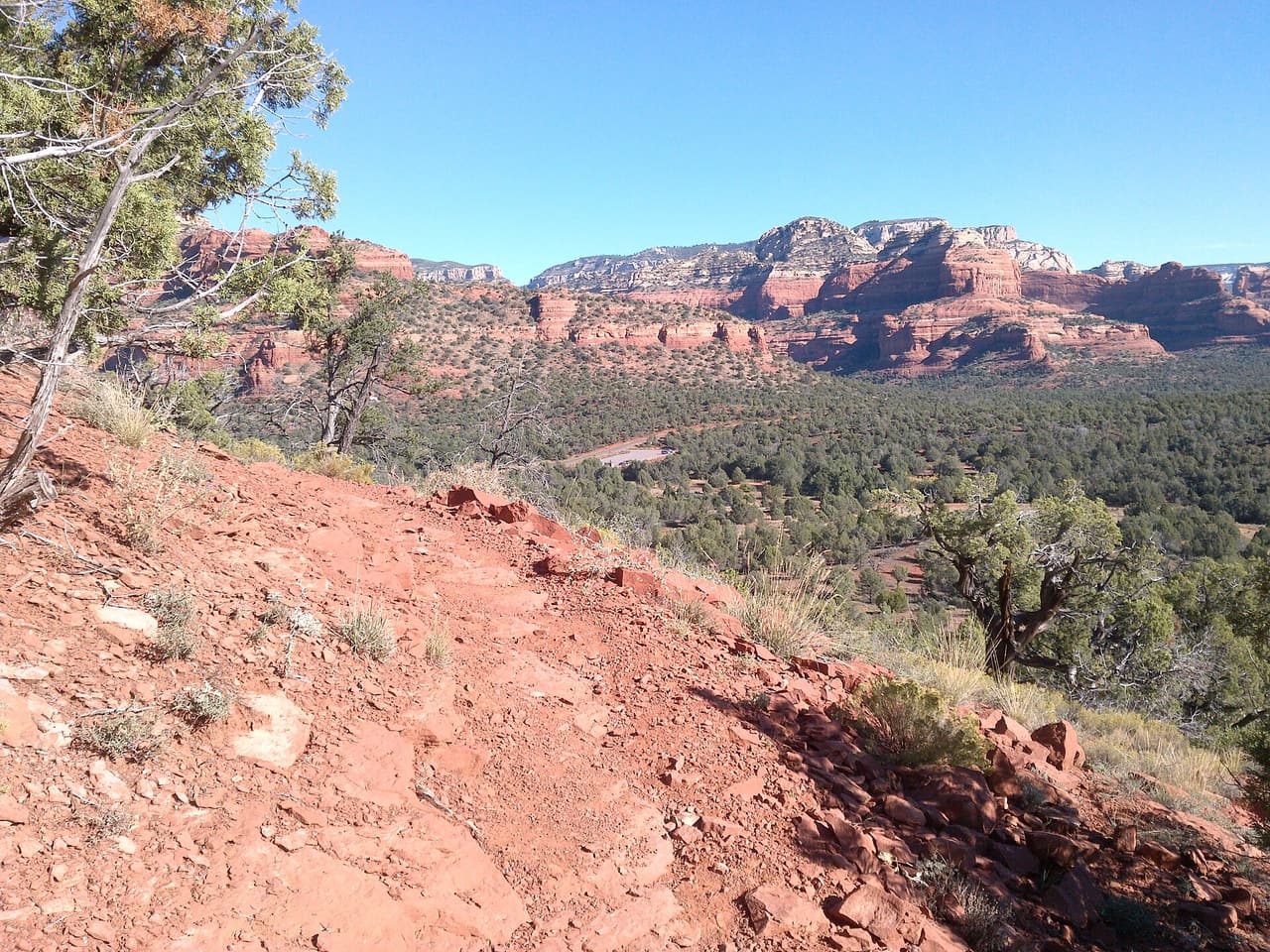 davidpinter (CC BY 3.0)
Aerie Trail runs 2.75 miles over native dirt and rock in the Coconino National Forest outside Sedona. Grades sit between 5 and 8 percent, so the climbing is gentle and steady rather than steep. It is listed as trail number 168 and rated trail class 2, which means a developed path with a clear tread but no pavement and no railings. The Red Rock Ranger District manages it. Shade is thin on most trails in this country, so carry more water than you think you need, start early in warm months, and check for closures before you drive to the trailhead.
Verified Verified