Trails · Cornville

Elmerville Spur M Trail

Length
1.33 mi
Surface
Native material
Trail class
1 of 5, minimally developed

About

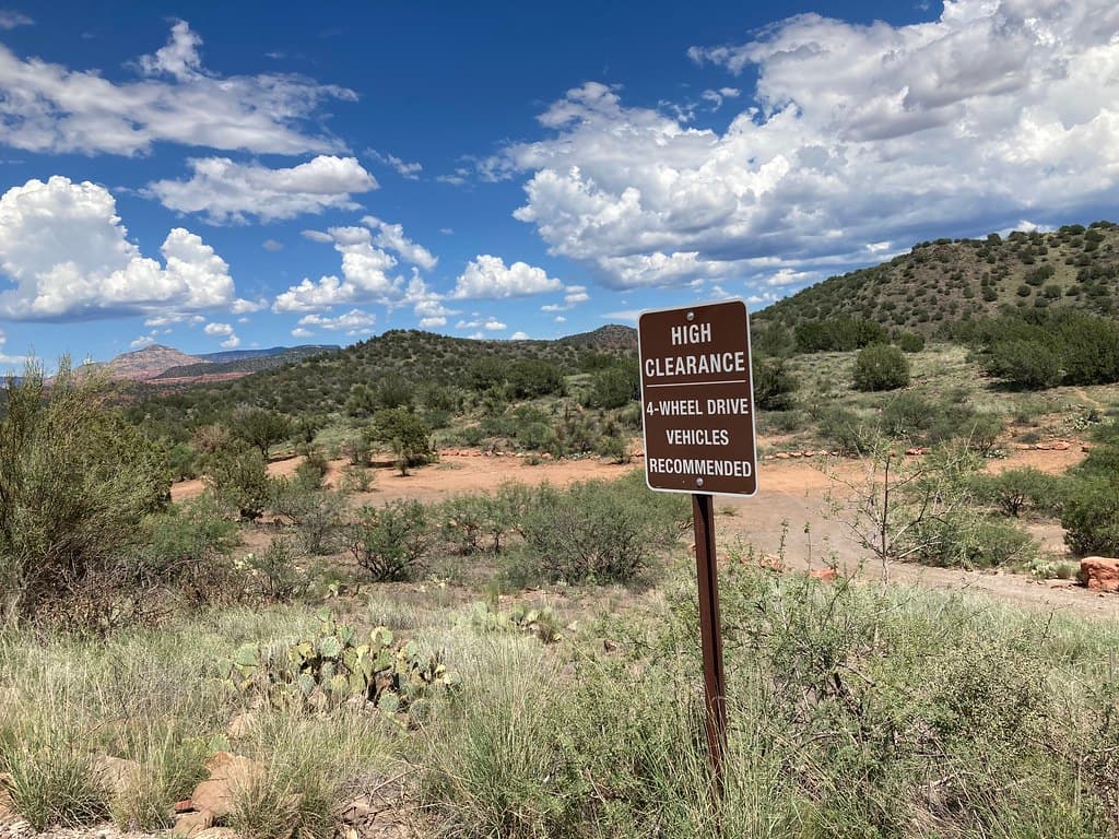
Elmerville Spur M Trail is a short spur in the Cornville area of Arizona. It runs about 1.33 miles and climbs at a grade of 5 to 8 percent, so there is some steady uphill. The tread is native material, so it is dirt and rock underfoot. It carries the number 115M and a trail class of 1. The route lies in the Red Rock Ranger District of the Coconino National Forest. A spur leads off a main route, so look at a map of the wider trail system before you set out. Bring a map you can read without a phone signal, and carry your own water.

Last verified by open-data

0 Was this listing useful?
Reviews

What people say

Loading reviews…
Reader notes

Loading notes…

Nearby

Close to Elmerville Spur M Trail

Village of Oak Creek · Trails · 685 m

Elmerville Spur E Trail runs about 0.64 miles through the red rock country around the Village of Oak Creek, Arizona. The grade is listed at 5-8%, so there is some climbing but nothing sustained for long. Walkers cross native material. It is signed as trail number 115E and rated trail class 1. The Red Rock Ranger District of the Coconino National Forest takes care of it. Check current conditions before you go, because weather, fire, or repair work can close a route. Carry water and tell someone where you plan to walk.

Verified Verified
Angel Valley Dispersed Camping Area, Cornville Coconino NF Photography (public-domain)
Cornville · Campgrounds · 741 m

Angel Valley Dispersed Camping Area is a camping spot in the Cornville, Arizona area. Map records tag it as a camp site, list the operator as USFS, and mark access as open to the public. That is the whole record, and it is thin. There is no address, no phone number, and no set of directions listed here. We do not know the fees, the hours, the road surface, or whether any facilities exist. Dispersed camping usually means you bring everything with you, but we cannot confirm that for this spot. Check with USFS for fire rules, road conditions, and closures before you drive out, because those change through the year.

Verified Verified
Village of Oak Creek · Trails · 839 m

Elmerville Spur K Trail is 2.5 miles near Village of Oak Creek, in the Red Rock Ranger District of Coconino National Forest, as trail number 115K. It is one of the longer lettered spurs off the route numbered 115. Expect native material and a typical grade of 5 to 8 percent. The trail class is 1, the least developed class, which at two and a half miles means real navigation rather than following signs. The permitted uses are not posted here. Take a map and tell someone your route.

Verified Verified
Village of Oak Creek · Trails · 1.3 km

About 4 miles long, Elmerville Spur a Trail sits on Coconino National Forest land near the Village of Oak Creek, Arizona. The Red Rock Ranger District keeps it up. Look for the number 115A where routes meet. The path is made of native material, rated trail class 1, and rises at a grade of 5-8%. Match the trail number to the signs at junctions so you stay on the route you meant to take. Read the rules posted at the trailhead, since not every route is open to bikes, horses, or dogs.

Verified Verified
Cornville · Campgrounds · 1.3 km

Javalina Dispersed Camping Area is a patch of designated dispersed camping near Cornville, Arizona, run by the USFS and open to the public. Dispersed means what it says: no numbered pads, no water, no toilets, no trash service. You pitch on ground that is already bare and you carry out everything you carried in. The USFS page for the West Sedona designated dispersed camping area sets the rules that apply, including how many nights you may stay and whether a fire is allowed that week. Fire rules change through the year and can shut this ground at short notice, so read the current order the morning you leave.

Verified Verified
More

Also in Trails

All trails in Cornville →
Cornville · Trails

Black Grama Loop is a loop route in the Cornville area of Arizona. It runs about 2.17 miles and stays fairly flat, with a grade of 0 to 5 percent. The tread is native material, so expect dirt, rock, and loose gravel rather than a paved path. It carries the number 1004 and a trail class of 3. The route lies in the Red Rock Ranger District of the Coconino National Forest. A loop returns to where it starts, so no second car or ride back is needed. Carry your own water, and look up closures and fire restrictions on the forest website before you drive out.

Verified Verified
Cornville · Trails

Creosote Loop is a loop route in the Cornville area of Arizona, running about 1.3 miles. The grade stays between 0 and 5 percent, so it is close to level for its whole length. The tread is native material, meaning packed dirt and rock rather than pavement. It carries the number 1003 and a trail class of 3. The route lies in the Red Rock Ranger District of the Coconino National Forest. Because it loops, it ends where it began, which is handy with one car. Carry your own water, and check the forest website for closures and fire restrictions before you set out.

Verified Verified
Cornville · Trails

Dog Leg Link Trail is a short connector in the Cornville area of Arizona. It runs about 0.51 miles, which is a few minutes of walking for most people. The grade is 0 to 5 percent, so it is close to flat. The tread is native material, meaning dirt and rock instead of pavement. It carries the number 1000C and a trail class of 3. The trail lies in the Red Rock Ranger District of the Coconino National Forest. A link trail joins longer routes, so it works as part of a bigger walk rather than on its own. Check the forest website for closures, and carry your own water.

Verified Verified