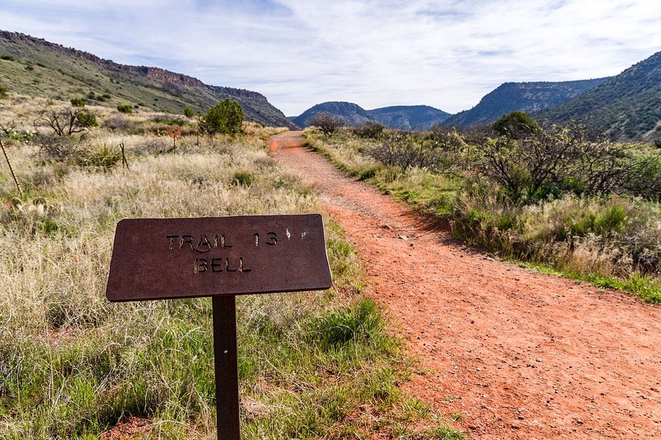
A red dirt hiking trail through grass toward the hillsPhoto: Coconino National Forest (CC0) · Wikimedia Commons

Outdoors · Sedona

Trails in Sedona

We list 158 trails around Sedona, adding up to about 299 miles. Every one comes from the U.S. Forest Service’s own trail records, so each listing shows the Forest Service’s trail number, its length, and what the path is made of.

Who runs them: all of them are in the Coconino National Forest. 128 are in the Red Rock Ranger District, which covers the red rock country around town. The other 30 are in the Mogollon Rim Ranger District.

Short and long: most are short. 71 are under a mile, and the middle of the list is about a mile and a quarter. Only 15 run longer than five miles. Each listing gives the Forest Service’s length for that trail on its own, so plan for the whole route you mean to walk, not one piece of it.

What is underfoot: almost all of them, 142, are dirt and rock. Two are paved.

Before you go: parking is the hard part in Sedona, not the trail. Many trailheads fill early, and the rules for parking and passes differ from one lot to the next. Our trailhead parking and shuttle guide covers each one. Some trails close after a fire or a flood, so also check our trail closures guide or the Forest Service’s own alerts page.

We don’t rate trails as easy or hard. The Forest Service doesn’t publish that for these trails, and we’d rather not guess.

Is a trail here closed for good, or listed wrong? Use the correct or remove link on its page.

Last verified

Sources

158 places on the map.

Open in Maps© OpenStreetMap contributors, Protomaps
A B Young Trail, Sedona Coconino National Forest (CC0-1.0)
Trails

A B Young Trail covers 2.09 miles near Sedona, in the Red Rock Ranger District of Coconino National Forest. It is trail number 100. The typical grade is 10 to 12 percent, which is steep enough that the mileage understates the effort, and the surface is native material. It is a class 2 trail. The allowed uses are not posted, so ask before you ride. This is a well known climb and it can be busy, so an early start helps with both parking and heat. Trailhead parking details are not posted, and parking rules around Sedona change, so check before you drive out.

Verified Verified
Trails

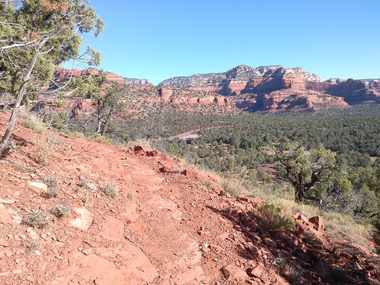
Adobe Jack Trail is a 2.1 mile path in the Coconino National Forest near Sedona, Arizona. The Red Rock Ranger District takes care of it. The tread is native material, so you walk on packed dirt and rock rather than pavement. Grades run about 8 to 10 percent, which means steady short climbs rather than flat walking. It is listed as trail number 660 and rated trail class 2, a simple developed path with no pavement and no railings. Wear shoes with grip, carry more water than you think you need, and check the district for closures before you drive out to the trailhead.

Verified Verified
Aerie Trail, Sedona davidpinter (CC BY 3.0)
Trails

Aerie Trail runs 2.75 miles over native dirt and rock in the Coconino National Forest outside Sedona. Grades sit between 5 and 8 percent, so the climbing is gentle and steady rather than steep. It is listed as trail number 168 and rated trail class 2, which means a developed path with a clear tread but no pavement and no railings. The Red Rock Ranger District manages it. Shade is thin on most trails in this country, so carry more water than you think you need, start early in warm months, and check for closures before you drive to the trailhead.

Verified Verified
Airport Loop, Sedona ksblack99 (public-domain)
Trails

A loop of 3.22 miles on native dirt and rock, numbered 210 and rated trail class 2 by the Coconino National Forest. Airport Loop has grades between 5 and 8 percent, so it rolls rather than climbs hard, and a loop means you finish where you parked. The Red Rock Ranger District manages the trail. Footing is loose in places on this kind of surface, so shoes with grip help more than anything else. Carry water even for a short walk, since there is none on the trail, and check the district for closures before you set out.

Verified Verified
Trails

Allens Bend Trail is 0.45 miles near Sedona, in the Red Rock Ranger District of Coconino National Forest. It is trail number 111. Native material underfoot, at a typical grade of 5 to 8 percent. The trail class is 3, the most developed class are listed, which generally means a well defined tread. The allowed uses are not posted for this one, so ask before you ride. Under half a mile makes this a short walk rather than an outing, and short trails near Sedona are often busiest in the evening. Parking rules and fees are not posted for it, and those change, so check first.

Verified Verified
Trails

Anaconda Trail runs 1.7 miles through the Red Rock Ranger District of the Coconino National Forest. The tread is native material, meaning packed dirt and rock left as the ground lies, with no pavement and no boardwalk. Grades sit between 5 and 8 percent, a steady climb rather than a scramble, and the route is rated trail class 2, so expect a clear but rough path. It carries the number 162B on maps and signs, which helps at junctions where several trails meet. Bring water and check the weather before you start, because shade is thin and storms move in fast over open rock.

Verified Verified
Trails

Short and easy to fit into a morning, Andante Trail covers 0.63 miles in the Red Rock Ranger District of the Coconino National Forest. The surface is native material, so packed dirt and loose rock rather than gravel or pavement. Grades run 5 to 8 percent, gentle enough for most walkers, and the trail is rated class 2, which means a defined path that is still rough underfoot. Look for the number 165E at trail junctions. Because it is short, it works well linked with neighboring routes into a longer loop. Carry water, wear shoes with grip and check conditions after rain or snow.

Verified Verified
Trails

At 0.19 miles, Andante West Trail is a connector more than a destination. It lies in the Red Rock Ranger District of the Coconino National Forest and is numbered 165D on signs and maps. The tread is native material, left as dirt and rock, and grades stay between 5 and 8 percent, so the walking is easy. It is rated trail class 2, meaning a path that is clear but unimproved. Most people use it to link two longer routes rather than walk it on its own, which makes it worth knowing when you are planning a loop. Check conditions before heading out after storms.

Verified Verified
Trails

Ant Hill Loop is a 0.6 mile circuit in the Red Rock Ranger District of the Coconino National Forest, numbered 666 where it is signed. Grades run steeper than many short trails nearby, between 8 and 10 percent, so expect to breathe harder on the climb even though the distance is small. The surface is native material, packed dirt and rock with loose patches. It is rated trail class 2, a defined but unimproved path. Being a loop, it returns you to the start without retracing your steps. Wear shoes with grip, carry water and take care on the descent where the ground is loose.

Verified Verified
Trails

Named for the trees that grow along it, Arizona Cypress Trail covers 1.64 miles in the Red Rock Ranger District of the Coconino National Forest. It is marked as trail 203. The path is native material, which means dirt and rock with no surfacing, and it can hold loose gravel on the steeper pitches. Grades stay between 5 and 8 percent, so the climbing is steady rather than sharp. Its trail class 2 rating describes a route that is easy to follow but never smooth. Bring water, start early in warm months and check for closures before you drive to the trailhead.

Verified Verified
Trails

Bandit Trail is short, 0.45 miles, and sits in the Red Rock Ranger District of the Coconino National Forest under the number 209. Grades of 5 to 8 percent keep it gentle, and the tread is native material, so packed dirt and rock rather than anything laid down. The trail class 2 rating means a path that is easy enough to follow but rough in places. Its length makes it most useful as a link in a longer ride or walk, joined to the trails around it. Carry water even on a short outing, and check the forecast, because shade is limited.

Verified Verified
Bear Mountain Trail, Sedona Coconino National Forest (CC0-1.0)
Trails

This is a climb, not a stroll. Bear Mountain Trail runs 2.35 miles in the Red Rock Ranger District of the Coconino National Forest, and its grades reach 20 to 30 percent, far steeper than most routes nearby. The surface is native material, dirt and rock, with sections where you are stepping up ledges rather than walking. It is signed as trail 54 and rated trail class 2. Allow much more time than the distance suggests, carry plenty of water, and turn back if heat or weather builds. Sturdy shoes matter here. Check conditions before you drive to the trailhead.

Verified Verified
Bear Sign Trail, Sedona deborah.soltesz (CC0-1.0)
Trails

Bear Sign Trail is one of the longer walks in this group, 3.1 miles in the Red Rock Ranger District of the Coconino National Forest. Grades hold between 5 and 8 percent, so the effort is spread out rather than concentrated in one climb. The tread is native material, packed dirt and rock, and crossings can be muddy or wet after rain. Signs and maps carry the number 59, and the route is rated trail class 2. Plan for the full distance out and back unless you are linking it with another trail. Carry water and tell someone your plan.

Verified Verified
Trails

Big Bear Trail is public land walking in the Coconino National Forest, 0.67 miles of it, managed by the Mogollon Rim Ranger District close to Sedona, Arizona. It carries the number 232 and is held to class 3 standards. Rain and snowmelt can leave the footing slick, and washes may hold water for a day or two. Pack water and a hat. Shade comes and goes, and afternoons heat up fast. The Mogollon Rim Ranger District can tell you about closures and any pass you need to leave a car at the start.

Verified Verified
Boynton Canyon Trail, Sedona davidpinter (CC BY 3.0)
Trails

Boynton Canyon Trail runs 2.92 miles into the canyon it is named for, inside the Red Rock Ranger District of the Coconino National Forest. Grades stay between 5 and 8 percent, so most of the walking is moderate, with the effort spread across the distance. The tread is native material, meaning dirt and rock as the ground lies. It is signed as trail 47 and rated trail class 2, a clear route that is still uneven underfoot. Parking at popular trailheads fills early in the day. Carry water, start early in warm months and check for closures first.

Verified Verified
Trails

Barely a quarter mile long, Boynton Vista Trail covers 0.22 miles in the Red Rock Ranger District of the Coconino National Forest. It is numbered 652 on signs and maps. Grades of 5 to 8 percent keep it easy, and the surface is native material, so dirt and rock rather than anything laid or paved. The trail class 2 rating means a path that is clear enough to follow but not smoothed out. Its length makes it a short add on to a longer walk rather than an outing by itself. Wear shoes with grip and carry water even for a quick trip.

Verified Verified
Trails

Brads Trail covers 1.01 miles and sits in the Mogollon Rim Ranger District of the Coconino National Forest, which sets it apart from most of the routes listed nearby. It is signed as trail 243. Grades run between 5 and 8 percent, so the walking is steady. The surface is native material, dirt and rock left as found. Its trail class 3 rating points to a slightly more developed path than many trails around it, usually meaning a clearer tread and better signs along the way. Carry water, check the forecast and confirm access before you drive out.

Verified Verified
Trails

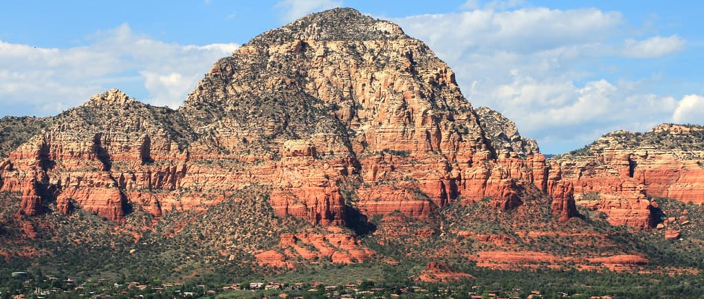
Brewer Trail is 0.77 miles long and lies in the Red Rock Ranger District of the Coconino National Forest. It carries the number 212 where it is signed. Grades between 5 and 8 percent make it an easy walk by local standards, and the tread is native material, so expect packed dirt and rock rather than gravel or pavement. The trail class 2 rating describes a route that is clear to follow but not built up. Short trails like this one are often used to connect longer routes into a loop. Check conditions after rain, and carry water whatever the distance.

Verified Verified
Brins Mesa Trail, Sedona Coconino NF Photography (CC0-1.0)
Trails

At 3.51 miles, Brins Mesa Trail is the longest route in this group and needs a proper half day rather than an hour. It runs through the Red Rock Ranger District of the Coconino National Forest and is signed as trail 119. Grades stay between 5 and 8 percent, so the climbing is spread out instead of stacked into one pitch. The surface is native material, dirt and rock. Its trail class 2 rating means a clear but rough path. Trailhead parking fills early on good weather days. Carry more water than you think you need and check for closures first.

Verified Verified
Trails

Broken Arrow Spur Trail is 0.55 miles near Sedona, in the Red Rock Ranger District of Coconino National Forest, as trail number 125A. The letter on the number marks it as a spur off the trail numbered 125, and at half a mile that is exactly what it is. The typical grade is 5 to 8 percent, the surface is native material, and the trail class is 2. The allowed uses are not posted for this one, so ask before you ride. Plan it as part of the longer route rather than on its own. Parking in this area fills early.

Verified Verified
Broken Arrow Trail, Sedona Coconino National Forest (CC BY-SA 2.0)
Trails

Broken Arrow Trail runs 1.7 miles in the Red Rock Ranger District of the Coconino National Forest and climbs harder than most, with grades of 10 to 12 percent. The surface is native material, which here means slickrock and loose dirt rather than a smooth path. It is rated trail class 3, so the tread tends to be clearer and better signed than many routes nearby. Look for the number 125 at junctions. The route is shared with other users, so stay alert and step aside where the path narrows. Carry water and start early in warm months.

Verified Verified
Trails

Canyon of Fools Trail covers 1.2 miles in the Red Rock Ranger District of the Coconino National Forest. It is signed as trail 174F, a number worth noting because junctions in this area can be confusing. Grades run 5 to 8 percent, so the walking is moderate rather than steep. The tread is native material, dirt and rock with loose patches, and it is rated trail class 2, meaning a path that is clear but never smoothed. It suits an hour or two outdoors and links with other routes nearby. Carry water and check conditions before you set out.

Verified Verified
Trails

Carroll Canyon Trail runs 1.59 miles through the Red Rock Ranger District of the Coconino National Forest, signed as trail 207. Grades of 5 to 8 percent keep the effort steady, without a long hard climb. The surface is native material, so packed dirt and rock with loose sections in places, and the route is rated trail class 2, which means a clear path that has not been built up. It is a reasonable length for a morning outing and connects with other trails in the area. Bring water, watch the weather and check for closures before you drive to the trailhead.

Verified Verified
Trails

Casner Canyon Trail is a hiking trail near Sedona, Arizona. It is trail number 11 in the Coconino National Forest, and the Mogollon Rim Ranger District manages it. The trail is 3.0 miles long. It is steep in places, with a grade of 12 to 20 percent, so plan for a slow climb and bring plenty of water. The surface is native material, which means dirt and rock rather than pavement. It is rated trail class 2, a simple path with few built features, so expect uneven footing and wear sturdy shoes. Check with the ranger district for current trail conditions before you go.

Verified Verified
Casner Mountain Trail, Sedona Coconino National Forest (CC BY-SA 2.0)
Trails

Look for trail 8 on forest signs and maps. That is Casner Mountain Trail, a route of roughly 6.88 miles inside the Coconino National Forest. The Red Rock Ranger District manages it. Underfoot it is native material: dirt and rock, not pavement. Slopes fall in the 8 to 10 percent band, and the route is rated trail class 3. Shade can be thin, so an early start makes the walk easier in hot months. Pack out everything you carry in, food scraps included. Temperatures swing a lot between morning and afternoon, so dress in layers.

Verified Verified
Trails

About 0.36 miles long, Cave Springs Trail runs through the Coconino National Forest and falls under the Red Rock Ranger District. The number on the sign is 107. The tread is native material, so expect dirt and rock the whole way. Grade sits in the 5 to 8 percent range. Trail class is 3. Wear shoes with grip and take care on loose rock. Phone service is patchy out here, so save a map to your phone first. Step to the side and let horses pass when you meet riders. Sun is strong most of the year, so a hat and sunscreen help.

Verified Verified
Trails

The Red Rock Ranger District keeps up Centennial Trail, one of many routes on the Coconino National Forest. It measures close to 0.39 miles and carries the number 653. The surface is asphalt, so it is paved the whole way. Climbs and descents work out to 5 to 8 percent, and the route is logged at trail class 5. Storms and snow change conditions fast, so ask the ranger district about closures before you drive out. Small lots fill early on weekends and holidays. Stay on the worn tread to keep the soil and plants around it intact.

Verified Verified
Trails

Chapel Trail is a 0.68 mile route numbered 213 on the Coconino National Forest. Day to day care falls to the Red Rock Ranger District. Native material is the surface here, which is to say plain dirt and stone. Grades of 5 to 8 percent give a sense of how steep the walking gets. The trail class is 2. Pack out everything you carry in, food scraps included. Temperatures swing a lot between morning and afternoon, so dress in layers. Tell someone where you are going and when you plan to be back.

Verified Verified
Trails

Trail class 2, grade 10 to 12 percent, and a length near 0.84 miles: that is the shape of Chimney Rock Pass Trail. It lies on the Coconino National Forest, in the Red Rock Ranger District, and shows up on maps as trail 165B. Nothing is paved. The surface is native material, dirt and rock as found. Phone service is patchy out here, so save a map to your phone first. Step to the side and let horses pass when you meet riders. Sun is strong most of the year, so a hat and sunscreen help.

Verified Verified
Trails

Chuckwagon Trail covers about 4.45 miles and is signed as trail 196. It sits on the Coconino National Forest and is looked after by the Red Rock Ranger District. Expect native material underfoot rather than a built or paved path. Grades run between 5 and 8 percent, so expect that much climb and drop. Forest records put it at trail class 2. Small lots fill early on weekends and holidays. Stay on the worn tread to keep the soil and plants around it intact. Footing gets slick for a while after rain.

Verified Verified
Trails

Look for trail 187 on forest signs and maps. That is Cibola Pass Trail, a route of roughly 0.66 miles inside the Coconino National Forest. The Red Rock Ranger District manages it. The surface is native material, which means packed dirt and rock rather than paving. Slopes fall in the 10 to 12 percent band, and the route is rated trail class 2. Temperatures swing a lot between morning and afternoon, so dress in layers. Tell someone where you are going and when you plan to be back. Bring more water than you think the walk needs.

Verified Verified
Trails

About 3.53 miles long, Cockscomb Trail runs through the Coconino National Forest and falls under the Red Rock Ranger District. The number on the sign is 167. Underfoot it is native material: dirt and rock, not pavement. Grade sits in the 5 to 8 percent range. Trail class is 2. Step to the side and let horses pass when you meet riders. Sun is strong most of the year, so a hat and sunscreen help. Start back with enough daylight left to finish. Wear shoes with grip and take care on loose rock.

Verified Verified
Trails

Coconino Loop is 0.14 miles near Sedona, in the Red Rock Ranger District of Coconino National Forest, as trail number 126. It is called a loop, but at a seventh of a mile it is a very short one: the sort of link that closes a junction rather than a walk you would drive out for. The typical grade is 5 to 8 percent, the surface is native material, and the trail class is 2. The allowed uses are not posted for this one, so ask before you ride. Look at it on a map with the trails it joins.

Verified Verified
Trails

The Red Rock Ranger District keeps up Cookstove Trail, one of many routes on the Coconino National Forest. It measures close to 2 miles and carries the number 143. The tread is native material, so expect dirt and rock the whole way. Climbs and descents work out to 5 to 8 percent, and the route is logged at trail class 2. Stay on the worn tread to keep the soil and plants around it intact. Footing gets slick for a while after rain. Carry your own water, because there is none to fill up along the way.

Verified Verified
Trails

Cowpies Trail is 0.33 miles near Sedona, in the Red Rock Ranger District of Coconino National Forest, as trail number 78B. The letter on the number marks it as a branch of a longer numbered route, and at a third of a mile that is what it is. The typical grade is 5 to 8 percent, the surface is native material, and the trail class is 2. The allowed uses are not posted for this one, so ask before you ride. Plan it as one piece of a longer route rather than a trip on its own, and check the map at junctions.

Verified Verified
Trails

Coyote Trail is a 0.32 mile route numbered 665 on the Coconino National Forest. Day to day care falls to the Red Rock Ranger District. Native material is the surface here, which is to say plain dirt and stone. Grades of 8 to 10 percent give a sense of how steep the walking gets. The trail class is 2. Tell someone where you are going and when you plan to be back. Bring more water than you think the walk needs. Shade can be thin, so an early start makes the walk easier in hot months.

Verified Verified
Trails

Trail class 1, grade 8 to 10 percent, and a length near 0.45 miles: that is the shape of Crusty Trail. It lies on the Coconino National Forest, in the Red Rock Ranger District, and shows up on maps as trail 664. Nothing is paved. The surface is native material, dirt and rock as found. Sun is strong most of the year, so a hat and sunscreen help. Start back with enough daylight left to finish. Wear shoes with grip and take care on loose rock. Phone service is patchy out here, so save a map to your phone first.

Verified Verified
Trails

Crystal Point Trail covers about 3.21 miles and is signed as trail 24. It sits on the Coconino National Forest and is looked after by the Mogollon Rim Ranger District. Expect native material underfoot rather than a built or paved path. Grades run between 12 and 20 percent, so expect that much climb and drop. Forest records put it at trail class 3. Footing gets slick for a while after rain. Carry your own water, because there is none to fill up along the way. Storms and snow change conditions fast, so ask the ranger district about closures before you drive out.

Verified Verified
David Miller Trail, Sedona deborah.soltesz (CC0-1.0)
Trails

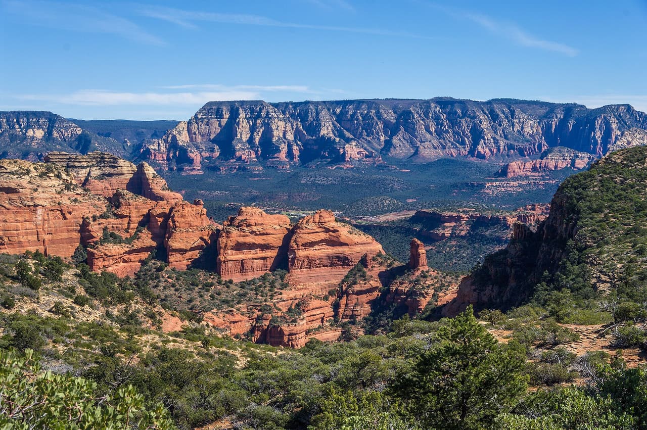
Look for trail 164 on forest signs and maps. That is David Miller Trail, a route of roughly 0.98 miles inside the Coconino National Forest. The Red Rock Ranger District manages it. The surface is native material, which means packed dirt and rock rather than paving. Slopes fall in the 12 to 20 percent band, and the route is rated trail class 1. Bring more water than you think the walk needs. Shade can be thin, so an early start makes the walk easier in hot months. Pack out everything you carry in, food scraps included.

Verified Verified
Trails

About 1.68 miles long, Dawa Trail runs through the Coconino National Forest and falls under the Red Rock Ranger District. The number on the sign is 188. Underfoot it is native material: dirt and rock, not pavement. Grade sits in the 5 to 8 percent range. Trail class is 3. Start back with enough daylight left to finish. Wear shoes with grip and take care on loose rock. Phone service is patchy out here, so save a map to your phone first. Step to the side and let horses pass when you meet riders.

Verified Verified
Trails

The Red Rock Ranger District keeps up Deadmans Pass Trail, one of many routes on the Coconino National Forest. It measures close to 1.18 miles and carries the number 110. The tread is native material, so expect dirt and rock the whole way. Climbs and descents work out to 5 to 8 percent, and the route is logged at trail class 2. Carry your own water, because there is none to fill up along the way. Storms and snow change conditions fast, so ask the ranger district about closures before you drive out.

Verified Verified
Trails

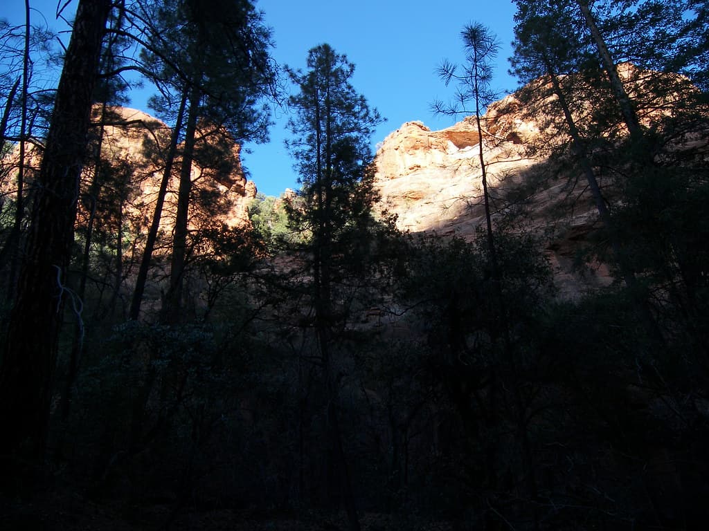
Devils Bridge Extension Trail is 0.1 miles near Sedona, in the Red Rock Ranger District of Coconino National Forest, as trail number 196A. At a tenth of a mile this is the shortest trail we publish, and the letter marks it as an extension of a longer numbered route. The typical grade is 5 to 8 percent, the surface is native material, and the trail class is 2. The allowed uses are not posted, so ask before you ride. It exists to join two things on a map rather than to be walked for itself.

Verified Verified
Devils Bridge Trail, Sedona davidpinter (CC BY 3.0)
Trails

Devils Bridge Trail is a 0.8 mile route numbered 120 on the Coconino National Forest. Day to day care falls to the Red Rock Ranger District. Native material is the surface here, which is to say plain dirt and stone. Grades of 5 to 8 percent give a sense of how steep the walking gets. The trail class is 2. Shade can be thin, so an early start makes the walk easier in hot months. Pack out everything you carry in, food scraps included. Temperatures swing a lot between morning and afternoon, so dress in layers.

Verified Verified
Doe Mountain Trail, Sedona Coconino NF Photography (CC0-1.0)
Trails

Trail class 2, grade 12 to 20 percent, and a length near 0.76 miles: that is the shape of Doe Mountain Trail. It lies on the Coconino National Forest, in the Red Rock Ranger District, and shows up on maps as trail 60. Nothing is paved. The surface is native material, dirt and rock as found. Wear shoes with grip and take care on loose rock. Phone service is patchy out here, so save a map to your phone first. Step to the side and let horses pass when you meet riders.

Verified Verified
Trails

Dry Creek Trail covers about 2.7 miles and is signed as trail 52. It sits on the Coconino National Forest and is looked after by the Red Rock Ranger District. Expect native material underfoot rather than a built or paved path. Grades run between 5 and 8 percent, so expect that much climb and drop. Forest records put it at trail class 2. Storms and snow change conditions fast, so ask the ranger district about closures before you drive out. Small lots fill early on weekends and holidays. Stay on the worn tread to keep the soil and plants around it intact.

Verified Verified
Fay Canyon Trail, Sedona davidpinter (CC BY 3.0)
Trails

Look for trail 53 on forest signs and maps. That is Fay Canyon Trail, a route of roughly 1.12 miles inside the Coconino National Forest. The Red Rock Ranger District manages it. The surface is native material, which means packed dirt and rock rather than paving. Slopes fall in the 0 to 5 percent band, and the route is rated trail class 3. Pack out everything you carry in, food scraps included. Temperatures swing a lot between morning and afternoon, so dress in layers. Tell someone where you are going and when you plan to be back.

Verified Verified
Trails

Frog Tank D Trail is 0.34 miles near Sedona, in the Mogollon Rim Ranger District of Coconino National Forest, as trail number 245D. The letter marks it as a branch of the loop numbered 245, and at a third of a mile it is a link within that network. The typical grade is 5 to 8 percent, the surface is native material, and the trail class is 3. The allowed uses are not posted for this one, so ask before you ride. This district covers different country from the trails nearer town, so ask that office.

Verified Verified
Trails

About 2.9 miles long, Frog Tank Loop runs through the Coconino National Forest and falls under the Mogollon Rim Ranger District. The number on the sign is 245. Underfoot it is native material: dirt and rock, not pavement. Grade sits in the 5 to 8 percent range. Trail class is 3. Phone service is patchy out here, so save a map to your phone first. Step to the side and let horses pass when you meet riders. Sun is strong most of the year, so a hat and sunscreen help.

Verified Verified
Trails

Signed as trail 580, Geronimo Trail stretches 1.36 miles in the Mogollon Rim Ranger District of the Coconino National Forest near Sedona, Arizona. It is held to class 2 standards. Loose rock turns up after storms, so watch your step on the downhill side. Take water for everyone in your group, and turn back if the weather changes. Check with the Mogollon Rim Ranger District for closures, fire limits, and parking rules before you drive out. Cell service is patchy out here, so download or print what you need before you leave town.

Verified Verified
Girdner Trail, Sedona Coconino NF Photography (public-domain)
Trails

The Red Rock Ranger District keeps up Girdner Trail, one of many routes on the Coconino National Forest. It measures close to 5.01 miles and carries the number 162. The tread is native material, so expect dirt and rock the whole way. Climbs and descents work out to 5 to 8 percent, and the route is logged at trail class 2. Small lots fill early on weekends and holidays. Stay on the worn tread to keep the soil and plants around it intact. Footing gets slick for a while after rain. Carry your own water, because there is none to fill up along the way.

Verified Verified
Trails

Grand Central Trail is a 2 mile route numbered 661 on the Coconino National Forest. Day to day care falls to the Red Rock Ranger District. Native material is the surface here, which is to say plain dirt and stone. Grades of 8 to 10 percent give a sense of how steep the walking gets. The trail class is 2. Temperatures swing a lot between morning and afternoon, so dress in layers. Tell someone where you are going and when you plan to be back. Bring more water than you think the walk needs.

Verified Verified
Trails

Trail class 2, grade 12 to 20 percent, and a length near 0.91 miles: that is the shape of Harding Springs Trail. It lies on the Coconino National Forest, in the Red Rock Ranger District, and shows up on maps as trail 51. Nothing is paved. The surface is native material, dirt and rock as found. Step to the side and let horses pass when you meet riders. Sun is strong most of the year, so a hat and sunscreen help. Start back with enough daylight left to finish. Wear shoes with grip and take care on loose rock.

Verified Verified
Trails

Herkenham Trail covers about 1.04 miles and is signed as trail 202. It sits on the Coconino National Forest and is looked after by the Red Rock Ranger District. Expect native material underfoot rather than a built or paved path. Grades run between 10 and 12 percent, so expect that much climb and drop. Forest records put it at trail class 2. Stay on the worn tread to keep the soil and plants around it intact. Footing gets slick for a while after rain. Carry your own water, because there is none to fill up along the way.

Verified Verified
High on the Hog Trail, Sedona Pranav Bijapur (CC BY 2.0)
Trails

High on the Hog Trail is 0.32 miles near Sedona, in the Red Rock Ranger District of Coconino National Forest, as trail number 125E. The letter puts it in the family of trails that share the number 125, several of which carry hog in the name. The typical grade is 10 to 12 percent, which is steep for a third of a mile, and the surface is native material. It is a class 2 trail. The permitted uses are not posted here. Read it on the map as one piece of that network.

Verified Verified
Trails

Look for trail 125D on forest signs and maps. That is Hog Heaven Trail, a route of roughly 0.9 miles inside the Coconino National Forest. The Red Rock Ranger District manages it. The surface is native material, which means packed dirt and rock rather than paving. Slopes fall in the 10 to 12 percent band, and the route is rated trail class 2. Tell someone where you are going and when you plan to be back. Bring more water than you think the walk needs. Shade can be thin, so an early start makes the walk easier in hot months.

Verified Verified
Trails

About 2.19 miles long, Hog Hill Trail runs through the Coconino National Forest and falls under the Mogollon Rim Ranger District. The number on the sign is 133. Underfoot it is native material: dirt and rock, not pavement. Grade sits in the 12 to 20 percent range. Trail class is 2. Sun is strong most of the year, so a hat and sunscreen help. Start back with enough daylight left to finish. Wear shoes with grip and take care on loose rock. Phone service is patchy out here, so save a map to your phone first.

Verified Verified
Trails

The Red Rock Ranger District keeps up Hog Wash Trail, one of many routes on the Coconino National Forest. It measures close to 1.48 miles and carries the number 125C. The tread is native material, so expect dirt and rock the whole way. Climbs and descents work out to 10 to 12 percent, and the route is logged at trail class 2. Footing gets slick for a while after rain. Carry your own water, because there is none to fill up along the way. Storms and snow change conditions fast, so ask the ranger district about closures before you drive out.

Verified Verified
Trails

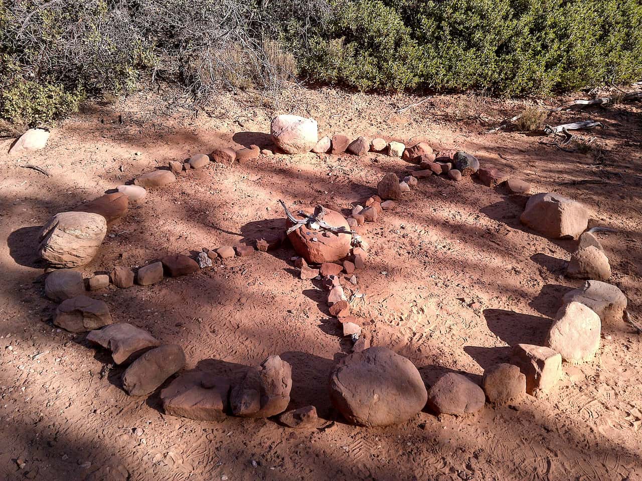
Honanki Trail is a 0.2 mile route numbered 79 on the Coconino National Forest. Day to day care falls to the Red Rock Ranger District. Native material is the surface here, which is to say plain dirt and stone. Grades of 5 to 8 percent give a sense of how steep the walking gets. The trail class is 4. Bring more water than you think the walk needs. Shade can be thin, so an early start makes the walk easier in hot months. Pack out everything you carry in, food scraps included. Temperatures swing a lot between morning and afternoon, so dress in layers.

Verified Verified
Trails

Howard Spur Trail covers 3.38 miles inside the Mogollon Rim Ranger District of the Coconino National Forest, on the public land around Sedona, Arizona. It carries the number 234A and is held to class 3 standards. Cool mornings are the easier time to walk it, and light fades quickly in the canyons. Sturdy shoes help, and so does an early start in summer. Ask the Mogollon Rim Ranger District about current conditions and where you may park at the start. Weekend mornings draw the most people, and midweek is quieter.

Verified Verified
Trails

A short drive from Sedona, Arizona, Howard Trail runs 6.03 miles through the Coconino National Forest and is looked after by the Mogollon Rim Ranger District. It carries the number 234 and is held to class 3 standards. Other people share the path, so listen for riders and bikes coming from behind. Bring more water than you think you need, and tell someone your plan. Call the Mogollon Rim Ranger District first if you want to know about fire limits or a temporary closure. Distances shown are for the path itself, not for any loop you piece together with other trails.

Verified Verified
Trails

Trail class 2, grade 5 to 8 percent, and a length near 1.6 miles: that is the shape of Hs Canyon Trail. It lies on the Coconino National Forest, in the Red Rock Ranger District, and shows up on maps as trail 50. Nothing is paved. The surface is native material, dirt and rock as found. Start back with enough daylight left to finish. Wear shoes with grip and take care on loose rock. Phone service is patchy out here, so save a map to your phone first. Step to the side and let horses pass when you meet riders.

Verified Verified
Huckaby Trail, Sedona Brady Smith; Coconino National Forest (CC BY-SA 2.0)
Trails

Huckaby Trail covers about 2.97 miles and is signed as trail 161. It sits on the Coconino National Forest and is looked after by the Red Rock Ranger District. Expect native material underfoot rather than a built or paved path. Grades run between 5 and 8 percent, so expect that much climb and drop. Forest records put it at trail class 2. Carry your own water, because there is none to fill up along the way. Storms and snow change conditions fast, so ask the ranger district about closures before you drive out.

Verified Verified
Trails

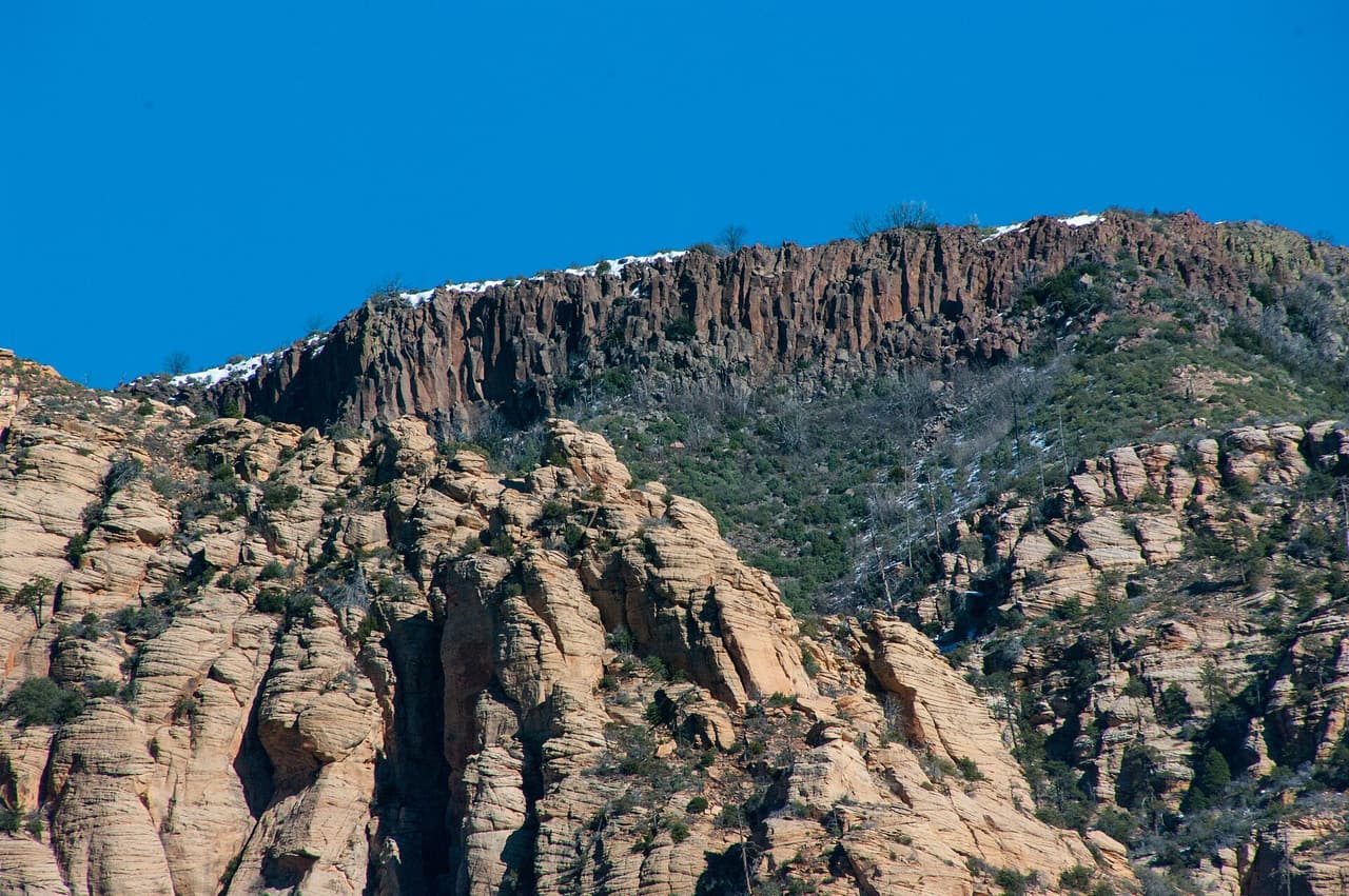
Look for trail 245C on forest signs and maps. That is Interstate Trail, a route of roughly 10.59 miles inside the Coconino National Forest. The Mogollon Rim Ranger District manages it. The surface is native material, which means packed dirt and rock rather than paving. Slopes fall in the 5 to 8 percent band, and the route is rated trail class 3. Shade can be thin, so an early start makes the walk easier in hot months. Pack out everything you carry in, food scraps included. Temperatures swing a lot between morning and afternoon, so dress in layers.

Verified Verified
Trails

About 1.08 miles long, Iron Springs Connector Trail runs through the Coconino National Forest and falls under the Mogollon Rim Ranger District. The number on the sign is 244. Underfoot it is native material: dirt and rock, not pavement. Grade sits in the 5 to 8 percent range. Trail class is 3. Wear shoes with grip and take care on loose rock. Phone service is patchy out here, so save a map to your phone first. Step to the side and let horses pass when you meet riders. Sun is strong most of the year, so a hat and sunscreen help.

Verified Verified
Trails

The Mogollon Rim Ranger District keeps up Janice Place Trail, one of many routes on the Coconino National Forest. It measures close to 0.23 miles and carries the number 245A. The tread is native material, so expect dirt and rock the whole way. Climbs and descents work out to 5 to 8 percent, and the route is logged at trail class 3. Storms and snow change conditions fast, so ask the ranger district about closures before you drive out. Small lots fill early on weekends and holidays. Stay on the worn tread to keep the soil and plants around it intact.

Verified Verified
Trails

Javelina Trail is a 1.17 mile route numbered 662 on the Coconino National Forest. Day to day care falls to the Red Rock Ranger District. Native material is the surface here, which is to say plain dirt and stone. Grades of 8 to 10 percent give a sense of how steep the walking gets. The trail class is 3. Pack out everything you carry in, food scraps included. Temperatures swing a lot between morning and afternoon, so dress in layers. Tell someone where you are going and when you plan to be back.

Verified Verified
Jim Thompson Trail, Sedona Deborah Lee Soltesz (CC0-1.0)
Trails

Trail class 2, grade 5 to 8 percent, and a length near 2.67 miles: that is the shape of Jim Thompson Trail. It lies on the Coconino National Forest, in the Red Rock Ranger District, and shows up on maps as trail 124. Nothing is paved. The surface is native material, dirt and rock as found. Phone service is patchy out here, so save a map to your phone first. Step to the side and let horses pass when you meet riders. Sun is strong most of the year, so a hat and sunscreen help.

Verified Verified
Trails

Jordan Spur a Trail is 0.19 miles near Sedona, in the Red Rock Ranger District of Coconino National Forest, as trail number 186A. The letter marks it as a spur off the route numbered 186, and at under a fifth of a mile it is exactly that: a short branch, not an outing. The typical grade is 8 to 10 percent, the surface is native material, and the trail class is 3. The allowed uses are not posted for this one, so ask before you ride. Plan the trail it leaves from instead.

Verified Verified
Trails

Jordan Trail covers about 1.72 miles and is signed as trail 186. It sits on the Coconino National Forest and is looked after by the Red Rock Ranger District. Expect native material underfoot rather than a built or paved path. Grades run between 8 and 10 percent, so expect that much climb and drop. Forest records put it at trail class 3. Small lots fill early on weekends and holidays. Stay on the worn tread to keep the soil and plants around it intact. Footing gets slick for a while after rain.

Verified Verified
Trails

This is a 1.38 mile path in the Coconino National Forest. It sits in the Mogollon Rim Ranger District, within reach of Sedona, Arizona. It carries the number 231B and is held to class 3 standards. Mark where you leave the car. Junctions look alike once you are in the trees. Bring water and sun cover, and start early when the days are warm. Conditions change with storms and fire season, so check with the Mogollon Rim Ranger District before the drive. Time on foot depends on your pace, the heat, and how often you stop to look around.

Verified Verified
Kelsey Trail, Sedona deborah.soltesz (CC0-1.0)
Trails

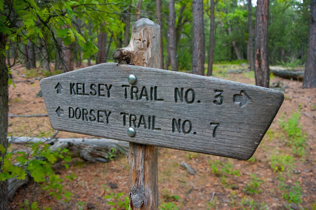
Look for trail 3 on forest signs and maps. That is Kelsey Trail, a route of roughly 5.6 miles inside the Coconino National Forest. The Mogollon Rim Ranger District manages it. The surface is native material, which means packed dirt and rock rather than paving. Slopes fall in the 12 to 20 percent band, and the route is rated trail class 2. Temperatures swing a lot between morning and afternoon, so dress in layers. Tell someone where you are going and when you plan to be back. Bring more water than you think the walk needs.

Verified Verified
Trails

Last Frontier Trail is public land walking in the Coconino National Forest, 2.86 miles of it, managed by the Red Rock Ranger District close to Sedona, Arizona. Grades of 0-5% mean the miles stay close to level. It carries the number 1012D and is held to class 3 standards. Rain and snowmelt can leave the footing slick, and washes may hold water for a day or two. Pack water and a hat. Shade comes and goes, and afternoons heat up fast. The Red Rock Ranger District can tell you about closures and any pass you need to leave a car at the start.

Verified Verified
Trails

About 9.58 miles long, Leap Frog Trail runs through the Coconino National Forest and falls under the Mogollon Rim Ranger District. The number on the sign is 246. Underfoot it is native material: dirt and rock, not pavement. Grade sits in the 5 to 8 percent range. Trail class is 3. Step to the side and let horses pass when you meet riders. Sun is strong most of the year, so a hat and sunscreen help. Start back with enough daylight left to finish. Wear shoes with grip and take care on loose rock.

Verified Verified
Trails

Signed as trail 1012B, Ledge N Airy Trail stretches 0.8 miles in the Red Rock Ranger District of the Coconino National Forest near Sedona, Arizona. Grades of 0-5% mean the miles stay close to level. It is held to class 3 standards. Loose rock turns up after storms, so watch your step on the downhill side. Take water for everyone in your group, and turn back if the weather changes. Check with the Red Rock Ranger District for closures, fire limits, and parking rules before you drive out.

Verified Verified
Trails

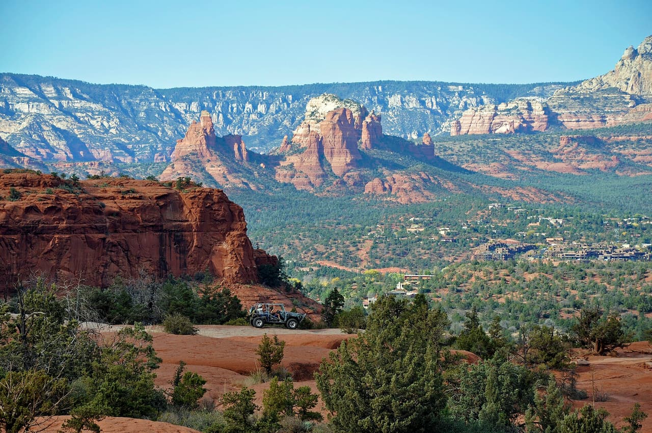
Little Horse Trail is 8.22 miles near Sedona, in the Mogollon Rim Ranger District of Coconino National Forest, as trail number 247. The typical grade is 12 to 20 percent, the steep end of those listed here, and over eight miles that is a serious day by any measure. The tread is native material; the class is 3. The allowed uses are not posted for this one, so ask before you ride. Treat the distance and the grade as one number rather than two, start early, and ask the district office about conditions.

Verified Verified
Trails

The Mogollon Rim Ranger District keeps up Little Round Mountain Spur a Trail, one of many routes on the Coconino National Forest. It measures close to 0.2 miles and carries the number 9A. The tread is native material, so expect dirt and rock the whole way. Climbs and descents work out to 5 to 8 percent, and the route is logged at trail class 1. Stay on the worn tread to keep the soil and plants around it intact. Footing gets slick for a while after rain. Carry your own water, because there is none to fill up along the way.

Verified Verified
Trails

Little Round Mountain Trail is a 2.46 mile route numbered 9 on the Coconino National Forest. Day to day care falls to the Mogollon Rim Ranger District. Native material is the surface here, which is to say plain dirt and stone. Grades of 12 to 20 percent give a sense of how steep the walking gets. The trail class is 1. Tell someone where you are going and when you plan to be back. Bring more water than you think the walk needs. Shade can be thin, so an early start makes the walk easier in hot months.

Verified Verified
Trails

Lizard Head Trail is 0.72 miles near Sedona, in the Red Rock Ranger District of Coconino National Forest, as trail number 165F. The letter puts it in a family of trails sharing the number 165, several of which are short links on that side of town. The typical grade is 5 to 8 percent, the surface is native material, and the trail class is 2. The allowed uses are not posted, so ask before you ride. Under three quarters of a mile, it works as part of a loop rather than alone.

Verified Verified
Trails

Lower Chimney Rock Trail is 1.19 miles near Sedona, in the Red Rock Ranger District of Coconino National Forest, as trail number 165A. It is one of the lettered trails off the number 165, and the word lower usually means the bottom section of a longer climb. The typical grade is 5 to 8 percent, moderate, and the surface is native material. The recorded trail class is 2. The allowed uses are not posted for this one, so ask before you ride. Check the map for how it links before you plan it alone.

Verified Verified
Loy Canyon Trail, Sedona deborah.soltesz (CC0-1.0)
Trails

Trail class 2, grade 5 to 8 percent, and a length near 4.77 miles: that is the shape of Loy Canyon Trail. It lies on the Coconino National Forest, in the Red Rock Ranger District, and shows up on maps as trail 5. Nothing is paved. The surface is native material, dirt and rock as found. Sun is strong most of the year, so a hat and sunscreen help. Start back with enough daylight left to finish. Wear shoes with grip and take care on loose rock. Phone service is patchy out here, so save a map to your phone first.

Verified Verified
Trails

Manzanita Trail covers about 0.61 miles and is signed as trail 675. It sits on the Coconino National Forest and is looked after by the Red Rock Ranger District. Expect native material underfoot rather than a built or paved path. Grades run between 10 and 12 percent, so expect that much climb and drop. Forest records put it at trail class 3. Footing gets slick for a while after rain. Carry your own water, because there is none to fill up along the way. Storms and snow change conditions fast, so ask the ranger district about closures before you drive out.

Verified Verified
Trails

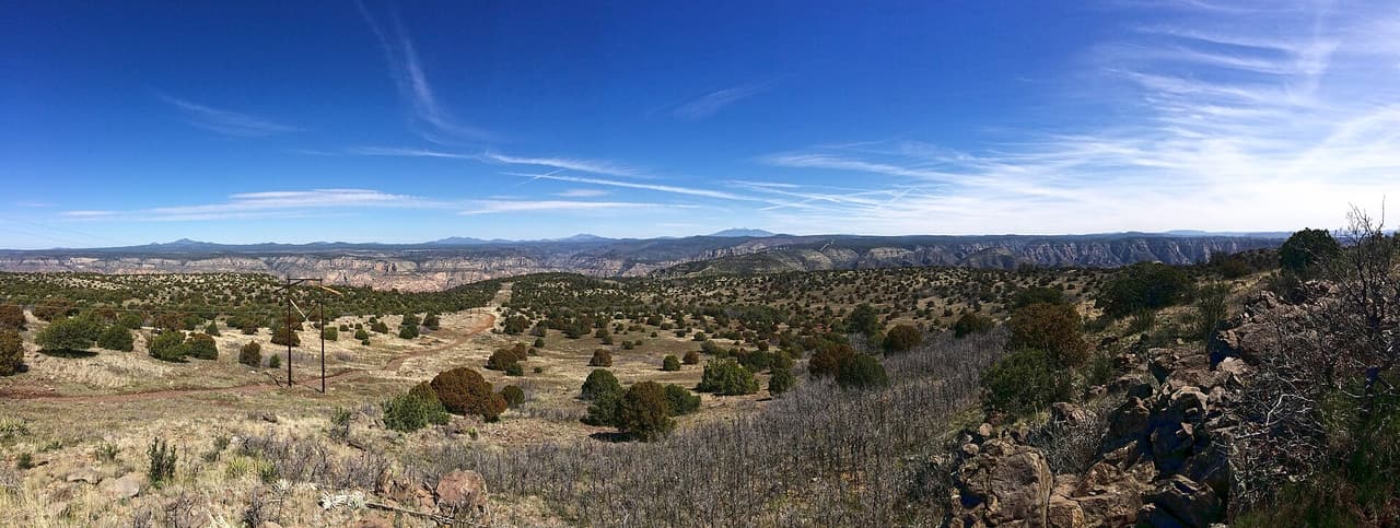
Look for trail 163A on forest signs and maps. That is Margs Draw Spur a Trail, a route of roughly 0.43 miles inside the Coconino National Forest. The Red Rock Ranger District manages it. The surface is native material, which means packed dirt and rock rather than paving. Slopes fall in the 5 to 8 percent band, and the route is rated trail class 2. Bring more water than you think the walk needs. Shade can be thin, so an early start makes the walk easier in hot months. Pack out everything you carry in, food scraps included.

Verified Verified
Trails

About 1.88 miles long, Margs Trail runs through the Coconino National Forest and falls under the Red Rock Ranger District. The number on the sign is 163. Underfoot it is native material: dirt and rock, not pavement. Grade sits in the 5 to 8 percent range. Trail class is 2. Start back with enough daylight left to finish. Wear shoes with grip and take care on loose rock. Phone service is patchy out here, so save a map to your phone first. Step to the side and let horses pass when you meet riders.

Verified Verified
Trails

The Red Rock Ranger District keeps up Mescal Connector Trail, one of many routes on the Coconino National Forest. It measures close to 0.32 miles and carries the number 174D. The tread is native material, so expect dirt and rock the whole way. Climbs and descents work out to 5 to 8 percent, and the route is logged at trail class 2. Carry your own water, because there is none to fill up along the way. Storms and snow change conditions fast, so ask the ranger district about closures before you drive out.

Verified Verified
Mescal Trail, Sedona davidpinter (CC BY 3.0)
Trails

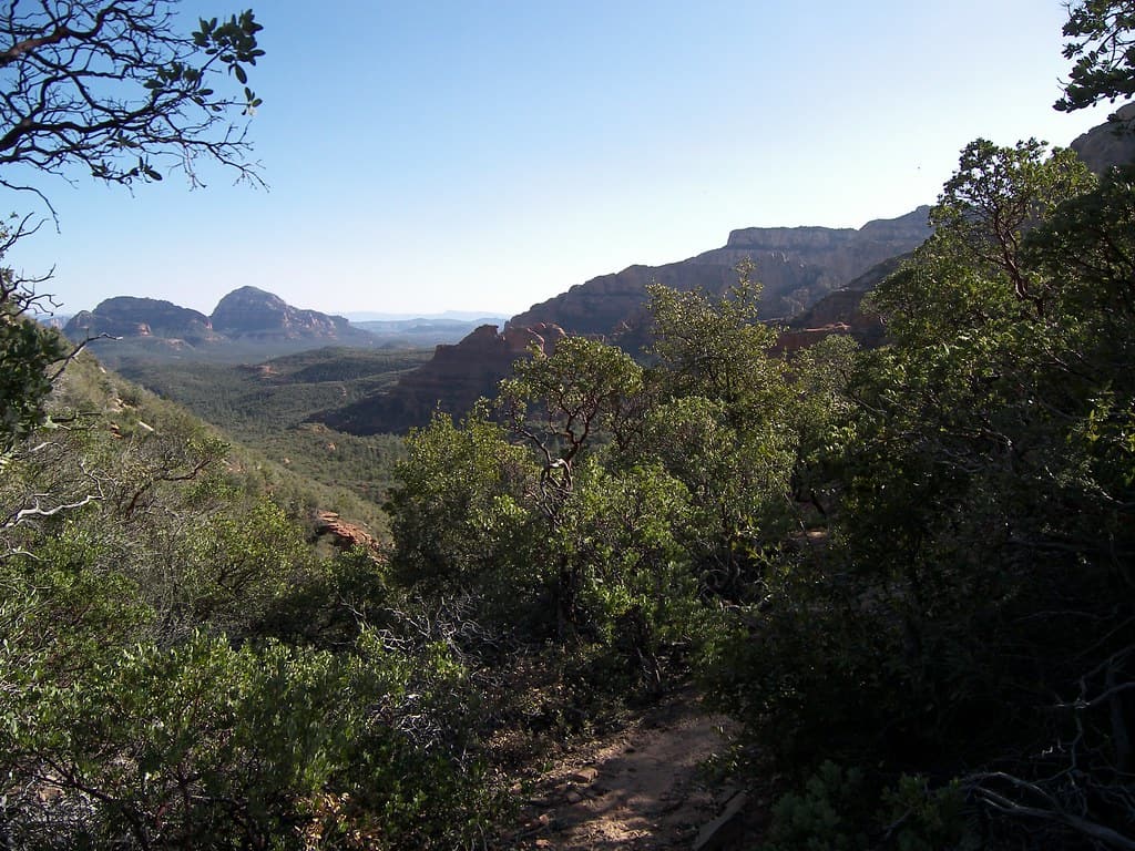
Mescal Trail is a 2.59 mile route numbered 174C on the Coconino National Forest. Day to day care falls to the Red Rock Ranger District. Native material is the surface here, which is to say plain dirt and stone. Grades of 5 to 8 percent give a sense of how steep the walking gets. The trail class is 2. Shade can be thin, so an early start makes the walk easier in hot months. Pack out everything you carry in, food scraps included. Temperatures swing a lot between morning and afternoon, so dress in layers.

Verified Verified
Mooney Trail, Sedona deborah.soltesz (CC0-1.0)
Trails

Trail class 2, grade 5 to 8 percent, and a length near 7.05 miles: that is the shape of Mooney Trail. It lies on the Coconino National Forest, in the Red Rock Ranger District, and shows up on maps as trail 12. Nothing is paved. The surface is native material, dirt and rock as found. Wear shoes with grip and take care on loose rock. Phone service is patchy out here, so save a map to your phone first. Step to the side and let horses pass when you meet riders. Sun is strong most of the year, so a hat and sunscreen help.

Verified Verified
Trails

Mud Tank Trail covers about 0.83 miles and is signed as trail 242. It sits on the Coconino National Forest and is looked after by the Mogollon Rim Ranger District. Expect native material underfoot rather than a built or paved path. Grades run between 5 and 8 percent, so expect that much climb and drop. Forest records put it at trail class 3. Storms and snow change conditions fast, so ask the ranger district about closures before you drive out. Small lots fill early on weekends and holidays. Stay on the worn tread to keep the soil and plants around it intact.

Verified Verified
Trails

Look for trail 240 on forest signs and maps. That is Munds Canyon Trail, a route of roughly 2.25 miles inside the Coconino National Forest. The Mogollon Rim Ranger District manages it. The surface is native material, which means packed dirt and rock rather than paving. Slopes fall in the 5 to 8 percent band, and the route is rated trail class 3. Pack out everything you carry in, food scraps included. Temperatures swing a lot between morning and afternoon, so dress in layers. Tell someone where you are going and when you plan to be back.

Verified Verified
Munds Mountain Trail, Sedona Coconino National Forest (CC0-1.0)
Trails

Munds Mountain Trail covers 2.8 miles inside the Red Rock Ranger District of the Coconino National Forest, on the public land around Sedona, Arizona. The tread is dirt and rock left in place, and grades of 8-10% mean the miles climb at a steady pitch. It carries the number 77 and is held to class 1 standards. Cool mornings are the easier time to walk it, and light fades quickly in the canyons. Sturdy shoes help, and so does an early start in summer. Ask the Red Rock Ranger District about current conditions and where you may park at the start.

Verified Verified
Trails

A short drive from Sedona, Arizona, Munds Wagon Trail runs 3.7 miles through the Coconino National Forest and is looked after by the Red Rock Ranger District. The tread is dirt and rock left in place, and grades of 5-8% mean the miles climb gently. It carries the number 78 and is held to class 2 standards. Other people share the path, so listen for riders and bikes coming from behind. Bring more water than you think you need, and tell someone your plan. Call the Red Rock Ranger District first if you want to know about fire limits or a temporary closure.

Verified Verified
Trails

This is a 0.93 mile path in the Coconino National Forest. It sits in the Red Rock Ranger District, within reach of Sedona, Arizona. Dirt and rock underfoot, with a 5-8% grade that climbs steadily rather than sharply. It carries the number 157 and is held to class 3 standards. Mark where you leave the car. Junctions look alike once you are in the trees. Bring water and sun cover, and start early when the days are warm. Conditions change with storms and fire season, so check with the Red Rock Ranger District before the drive.

Verified Verified
North Wilson Trail, Sedona davidpinter (CC BY 3.0)
Trails

Walkers heading out from Sedona, Arizona will find North Wilson Trail at 1.75 miles long, in the Red Rock Ranger District of the Coconino National Forest. The tread is dirt and rock left in place, and grades of 10-12% mean the miles tilt uphill in places. It carries the number 123 and is held to class 2 standards. Storm runoff moves dirt around, so the tread may look different from one season to the next. Carry water, wear shoes with grip, and give yourself more time than the distance suggests. For closures, dog rules, or parking questions, the Red Rock Ranger District is the place to ask.

Verified Verified
Trails

Oak Creek Spur a Trail is 0.32 miles near Sedona, in the Red Rock Ranger District of Coconino National Forest, as trail number 71A. It is another lettered spur off the route numbered 71, and a short one. Expect native material and a typical grade of 5 to 8 percent. The trail class is 1, the least developed are listed. The allowed uses are not posted, so ask before you ride. At a third of a mile on rough tread, this is a branch to know about rather than a trip to plan.

Verified Verified
Trails

Oak Creek Spur C Trail is public land walking in the Coconino National Forest, 0.7 miles of it, managed by the Red Rock Ranger District close to Sedona, Arizona. At 5-8% the climb is gentle, and the tread is dirt and rock left as it lies. It carries the number 71C and is held to class 1 standards. Rain and snowmelt can leave the footing slick, and washes may hold water for a day or two. Pack water and a hat. Shade comes and goes, and afternoons heat up fast. The Red Rock Ranger District can tell you about closures and any pass you need to leave a car at the start.

Verified Verified
Trails

Signed as trail 117, Oak Creek Vista Trail stretches 0.28 miles in the Red Rock Ranger District of the Coconino National Forest near Sedona, Arizona. The tread is paved, and grades of 5-8% mean the miles climb gently. It is held to class 5 standards. Loose rock turns up after storms, so watch your step on the downhill side. Take water for everyone in your group, and turn back if the weather changes. Check with the Red Rock Ranger District for closures, fire limits, and parking rules before you drive out.

Verified Verified

Trails

Ok Trail covers 0.3 miles inside the Red Rock Ranger District of the Coconino National Forest, on the public land around Sedona, Arizona. The path rises at 5-8%, steady rather than steep, over dirt and rock. It carries the number 205 and is held to class 2 standards. Cool mornings are the easier time to walk it, and light fades quickly in the canyons. Sturdy shoes help, and so does an early start in summer. Ask the Red Rock Ranger District about current conditions and where you may park at the start.

Verified Verified
Trails

A short drive from Sedona, Arizona, Old Post Trail runs 2.7 miles through the Coconino National Forest and is looked after by the Red Rock Ranger District. Grades run 5-8%, so the climbing is gradual, and the footing is plain dirt and rock. It carries the number 206 and is held to class 3 standards. Other people share the path, so listen for riders and bikes coming from behind. Bring more water than you think you need, and tell someone your plan. Call the Red Rock Ranger District first if you want to know about fire limits or a temporary closure.

Verified Verified
Trails

Ott Trail is 0.22 miles near Sedona, in the Mogollon Rim Ranger District of Coconino National Forest, as trail number 70B. The letter marks it as a branch of the route numbered 70. Read the grade rather than the distance: 12 to 20 percent, the steep end of those listed here, over a fifth of a mile. It is class 2, on native material. The allowed uses are not posted, so ask before you ride. Plan the longer trail it leaves from instead of this alone.

Verified Verified
Trails

This is a 6.07 mile path in the Coconino National Forest. It sits in the Red Rock Ranger District, within reach of Sedona, Arizona. The tread is dirt and rock left in place, and grades of 0-5% mean the miles stay close to level. It carries the number 1012 and is held to class 3 standards. Mark where you leave the car. Junctions look alike once you are in the trees. Bring water and sun cover, and start early when the days are warm. Conditions change with storms and fire season, so check with the Red Rock Ranger District before the drive.

Verified Verified
Trails

Overeasy Trail is 0.24 miles near Sedona, in the Red Rock Ranger District of Coconino National Forest, as trail number 670. The typical grade is 10 to 12 percent, which is steeper than the name suggests, over less than a quarter mile. It is class 3, on native material. The allowed uses are not posted, so ask before you ride. A segment this short is a link between longer routes, so read it on a map with its neighbors rather than planning a trip around it.

Verified Verified
Trails

Walkers heading out from Sedona, Arizona will find Palatki Ruins Face Trail at 0.2 miles long, in the Red Rock Ranger District of the Coconino National Forest. The tread is dirt and rock left in place, and grades of 5-8% mean the miles climb gently. It carries the number 80B and is held to class 3 standards. Storm runoff moves dirt around, so the tread may look different from one season to the next. Carry water, wear shoes with grip, and give yourself more time than the distance suggests. For closures, dog rules, or parking questions, the Red Rock Ranger District is the place to ask.

Verified Verified
Trails

Palatki Ruins Loop is public land walking in the Coconino National Forest, 0.6 miles of it, managed by the Red Rock Ranger District close to Sedona, Arizona. Dirt and rock underfoot, with a 5-8% grade that climbs steadily rather than sharply. It carries the number 80 and is held to class 3 standards. Rain and snowmelt can leave the footing slick, and washes may hold water for a day or two. Pack water and a hat. Shade comes and goes, and afternoons heat up fast. The Red Rock Ranger District can tell you about closures and any pass you need to leave a car at the start.

Verified Verified
Trails

Signed as trail 80A, Palatki Ruins Loop Spur stretches 0.2 miles in the Red Rock Ranger District of the Coconino National Forest near Sedona, Arizona. The tread is packed material brought in and rolled flat, and grades of 5-8% mean the miles climb gently. It is held to class 3 standards. Loose rock turns up after storms, so watch your step on the downhill side. Take water for everyone in your group, and turn back if the weather changes. Check with the Red Rock Ranger District for closures, fire limits, and parking rules before you drive out.

Verified Verified
Trails

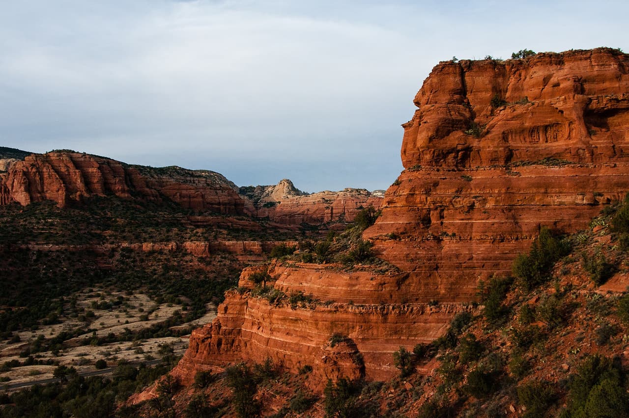
Peccary Trail is 0.46 miles near Sedona, in the Red Rock Ranger District of Coconino National Forest, as trail number 125B. The letter puts it in the family of trails sharing the number 125 on that side of town. The typical grade is 10 to 12 percent, a real pitch for under half a mile, and the surface is native material. Trail class 2. The allowed uses are not posted, so ask before you ride. It is most useful as one leg of a loop built from that network.

Verified Verified
Trails

Pigtail Trail covers 0.61 miles inside the Red Rock Ranger District of the Coconino National Forest, on the public land around Sedona, Arizona. At 5-8% the climb is gentle, and the tread is dirt and rock left as it lies. It carries the number 157A and is held to class 2 standards. Cool mornings are the easier time to walk it, and light fades quickly in the canyons. Sturdy shoes help, and so does an early start in summer. Ask the Red Rock Ranger District about current conditions and where you may park at the start.

Verified Verified
Trails

A short drive from Sedona, Arizona, Powerline Plunge Trail runs 0.76 miles through the Coconino National Forest and is looked after by the Red Rock Ranger District. The tread is dirt and rock left in place, and grades of 8-10% mean the miles climb at a steady pitch. It carries the number 668 and is held to class 3 standards. Other people share the path, so listen for riders and bikes coming from behind. Bring more water than you think you need, and tell someone your plan. Call the Red Rock Ranger District first if you want to know about fire limits or a temporary closure.

Verified Verified
Trails

This is a 0.9 mile path in the Coconino National Forest. It sits in the Red Rock Ranger District, within reach of Sedona, Arizona. The path rises at 5-8%, steady rather than steep, over dirt and rock. It carries the number 65 and is held to class 2 standards. Mark where you leave the car. Junctions look alike once you are in the trees. Bring water and sun cover, and start early when the days are warm. Conditions change with storms and fire season, so check with the Red Rock Ranger District before the drive.

Verified Verified
Trails

Walkers heading out from Sedona, Arizona will find Pyramid Trail at 1.25 miles long, in the Red Rock Ranger District of the Coconino National Forest. The tread is dirt and rock left in place, and grades of 10-12% mean the miles tilt uphill in places. It carries the number 674 and is held to class 3 standards. Storm runoff moves dirt around, so the tread may look different from one season to the next. Carry water, wear shoes with grip, and give yourself more time than the distance suggests. For closures, dog rules, or parking questions, the Red Rock Ranger District is the place to ask.

Verified Verified
Trails

Ramshead Trail is 1.11 miles near Sedona, in the Red Rock Ranger District of Coconino National Forest, as trail number 202A. The letter marks it as a branch of the route numbered 202, which runs nearby at a similar grade. Native material underfoot, at a typical grade of 10 to 12 percent. It is recorded as trail class 2. The allowed uses are not posted for this one, so ask before you ride. The two together make an obvious pairing on the map, which is the sensible way to plan either one.

Verified Verified
Trails

Red Cliff Trail is public land walking in the Coconino National Forest, 0.32 miles of it, managed by the Red Rock Ranger District close to Sedona, Arizona. Grades run 5-8%, so the climbing is gradual, and the footing is plain dirt and rock. It carries the number 62 and is held to class 2 standards. Rain and snowmelt can leave the footing slick, and washes may hold water for a day or two. Pack water and a hat. Shade comes and goes, and afternoons heat up fast. The Red Rock Ranger District can tell you about closures and any pass you need to leave a car at the start.

Verified Verified
Red Rock Loop, Sedona Vickie Rice; Coconino National Forest (CC BY-SA 2.0)
Trails

Signed as trail 118, Red Rock Loop stretches 1.73 miles in the Red Rock Ranger District of the Coconino National Forest near Sedona, Arizona. The tread is dirt and rock left in place, and grades of 5-8% mean the miles climb gently. It is held to class 2 standards. Loose rock turns up after storms, so watch your step on the downhill side. Take water for everyone in your group, and turn back if the weather changes. Check with the Red Rock Ranger District for closures, fire limits, and parking rules before you drive out.

Verified Verified
Trails

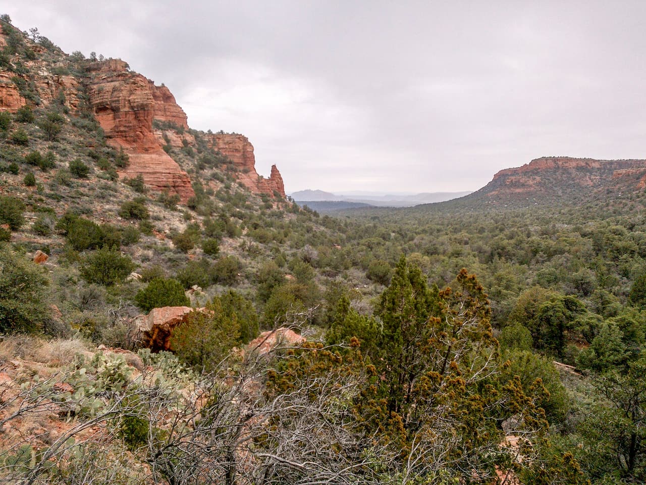
Remnant Trail covers 0.69 miles inside the Red Rock Ranger District of the Coconino National Forest, on the public land around Sedona, Arizona. Grades of 0-5% mean the miles stay close to level. It carries the number 162E and is held to class 3 standards. Cool mornings are the easier time to walk it, and light fades quickly in the canyons. Sturdy shoes help, and so does an early start in summer. Ask the Red Rock Ranger District about current conditions and where you may park at the start.

Verified Verified
Trails

Ridge Trail covers 2.77 miles inside the Red Rock Ranger District of the Coconino National Forest, on the public land around Sedona, Arizona. Dirt and rock underfoot, with a 5-8% grade that climbs steadily rather than sharply. It carries the number 208 and is held to class 3 standards. Cool mornings are the easier time to walk it, and light fades quickly in the canyons. Sturdy shoes help, and so does an early start in summer. Ask the Red Rock Ranger District about current conditions and where you may park at the start.

Verified Verified
Trails

Walkers heading out from Sedona, Arizona will find Rock Rut Trail at 0.71 miles long, in the Mogollon Rim Ranger District of the Coconino National Forest. It carries the number 249 and is held to class 3 standards. Storm runoff moves dirt around, so the tread may look different from one season to the next. Carry water, wear shoes with grip, and give yourself more time than the distance suggests. For closures, dog rules, or parking questions, the Mogollon Rim Ranger District is the place to ask. Leave what you find, pack out your trash, and stay on the worn line to spare the soil.

Verified Verified
Trails

A short drive from Sedona, Arizona, Rocky Road Trail runs 4.59 miles through the Coconino National Forest and is looked after by the Mogollon Rim Ranger District. At 5-8% the climb is gentle, and the tread is dirt and rock left as it lies. It carries the number 241 and is held to class 3 standards. Other people share the path, so listen for riders and bikes coming from behind. Bring more water than you think you need, and tell someone your plan. Call the Mogollon Rim Ranger District first if you want to know about fire limits or a temporary closure.

Verified Verified
Trails

A short drive from Sedona, Arizona, Roundabout Trail runs 6.1 miles through the Coconino National Forest and is looked after by the Red Rock Ranger District. Grades of 0-5% mean the miles stay close to level. It carries the number 1012A and is held to class 3 standards. Other people share the path, so listen for riders and bikes coming from behind. Bring more water than you think you need, and tell someone your plan. Call the Red Rock Ranger District first if you want to know about fire limits or a temporary closure.

Verified Verified
Trails

This is a 0.91 mile path in the Coconino National Forest. It sits in the Red Rock Ranger District, within reach of Sedona, Arizona. The path rises at 5-8%, steady rather than steep, over dirt and rock. It carries the number 204 and is held to class 2 standards. Mark where you leave the car. Junctions look alike once you are in the trees. Bring water and sun cover, and start early when the days are warm. Conditions change with storms and fire season, so check with the Red Rock Ranger District before the drive.

Verified Verified
Trails

This is a 1.2 mile path in the Coconino National Forest. It sits in the Red Rock Ranger District, within reach of Sedona, Arizona. Grades of 0-5% mean the miles stay close to level. It carries the number 162D and is held to class 3 standards. Mark where you leave the car. Junctions look alike once you are in the trees. Bring water and sun cover, and start early when the days are warm. Conditions change with storms and fire season, so check with the Red Rock Ranger District before the drive.

Verified Verified
Schnebly Hill Trail, Sedona Qygen (CC BY-SA 3.0)
Trails

Walkers heading out from Sedona, Arizona will find Schnebly Hill Trail at 1.94 miles long, in the Red Rock Ranger District of the Coconino National Forest. Grades run 5-8%, so the climbing is gradual, and the footing is plain dirt and rock. It carries the number 158 and is held to class 2 standards. Storm runoff moves dirt around, so the tread may look different from one season to the next. Carry water, wear shoes with grip, and give yourself more time than the distance suggests. For closures, dog rules, or parking questions, the Red Rock Ranger District is the place to ask.

Verified Verified
Trails

Schuerman Mountain Trail is public land walking in the Coconino National Forest, 2.26 miles of it, managed by the Red Rock Ranger District close to Sedona, Arizona. The tread is dirt and rock left in place, and grades of 10-12% mean the miles tilt uphill in places. It carries the number 56 and is held to class 2 standards. Rain and snowmelt can leave the footing slick, and washes may hold water for a day or two. Pack water and a hat. Shade comes and goes, and afternoons heat up fast. The Red Rock Ranger District can tell you about closures and any pass you need to leave a car at the start.

Verified Verified
Trails

Signed as trail 56A, Schuerman Mountain Vista Trail stretches 0.33 miles in the Red Rock Ranger District of the Coconino National Forest near Sedona, Arizona. The tread is dirt and rock left in place, and grades of 10-12% mean the miles tilt uphill in places. It is held to class 2 standards. Loose rock turns up after storms, so watch your step on the downhill side. Take water for everyone in your group, and turn back if the weather changes. Check with the Red Rock Ranger District for closures, fire limits, and parking rules before you drive out.

Verified Verified
Trails

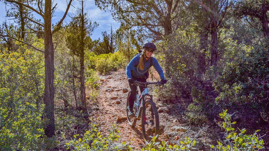
Scorpion Trail covers 1.98 miles inside the Red Rock Ranger District of the Coconino National Forest, on the public land around Sedona, Arizona. The tread is dirt and rock left in place, and grades of 10-12% mean the miles tilt uphill in places. It carries the number 673 and is held to class 3 standards. Cool mornings are the easier time to walk it, and light fades quickly in the canyons. Sturdy shoes help, and so does an early start in summer. Ask the Red Rock Ranger District about current conditions and where you may park at the start.

Verified Verified
Secret Canyon Trail, Sedona davidpinter (CC BY 3.0)
Trails

A short drive from Sedona, Arizona, Secret Canyon Trail runs 7.5 miles through the Coconino National Forest and is looked after by the Red Rock Ranger District. The tread is dirt and rock left in place, and grades of 5-8% mean the miles climb gently. It carries the number 121 and is held to class 1 standards. Other people share the path, so listen for riders and bikes coming from behind. Bring more water than you think you need, and tell someone your plan. Call the Red Rock Ranger District first if you want to know about fire limits or a temporary closure.

Verified Verified
Trails

This is a 1.51 mile path in the Coconino National Forest. It sits in the Mogollon Rim Ranger District, within reach of Sedona, Arizona. The tread is dirt and rock left in place, and grades of 12-20% mean the miles get steep in stretches. It carries the number 114 and is held to class 1 standards. Mark where you leave the car. Junctions look alike once you are in the trees. Bring water and sun cover, and start early when the days are warm. Conditions change with storms and fire season, so check with the Mogollon Rim Ranger District before the drive.

Verified Verified
Secret Mountain Trail, Sedona Deborah Lee Soltesz from Flagstaff, AZ (CC0-1.0)
Trails

Secret Mountain Trail is 5.35 miles near Sedona, in the Mogollon Rim Ranger District of Coconino National Forest, as trail number 109. Read the numbers together: five and a third miles at a typical grade of 12 to 20 percent is a hard day, not a long walk. It is class 2, on native material. The allowed uses are not posted, so ask before you ride. The roads that reach this part of the district are rough, so plan the access with that office first.

Verified Verified
Trails

Secret Slickrock Trail is 0.4 miles near Sedona, in the Red Rock Ranger District of Coconino National Forest, as trail number 202B. The letter puts it in the family that shares the number 202 on that side of town. The typical grade is 10 to 12 percent, steep for under half a mile, and the surface is native material. It is recorded as trail class 2. The allowed uses are not posted for this one, so ask before you ride. Plan it as one leg of a loop built from that network.

Verified Verified
Sedona View Trail, Sedona inkknife_2000 (7.5 million views +) (CC BY-SA 2.0)
Trails

Walkers heading out from Sedona, Arizona will find Sedona View Trail at 0.7 miles long, in the Red Rock Ranger District of the Coconino National Forest. The tread is dirt and rock left in place, and grades of 10-12% mean the miles tilt uphill in places. It carries the number 169 and is held to class 3 standards. Storm runoff moves dirt around, so the tread may look different from one season to the next. Carry water, wear shoes with grip, and give yourself more time than the distance suggests. For closures, dog rules, or parking questions, the Red Rock Ranger District is the place to ask.

Verified Verified
Trails

Shorty Trail is public land walking in the Coconino National Forest, 0.15 miles of it, managed by the Red Rock Ranger District close to Sedona, Arizona. The tread is dirt and rock left in place, and grades of 8-10% mean the miles climb at a steady pitch. It carries the number 661A and is held to class 3 standards. Rain and snowmelt can leave the footing slick, and washes may hold water for a day or two. Pack water and a hat. Shade comes and goes, and afternoons heat up fast. The Red Rock Ranger District can tell you about closures and any pass you need to leave a car at the start.

Verified Verified
Trails

Signed as trail 672, Sketch Trail stretches 1.22 miles in the Red Rock Ranger District of the Coconino National Forest near Sedona, Arizona. The tread is dirt and rock left in place, and grades of 10-12% mean the miles tilt uphill in places. It is held to class 3 standards. Loose rock turns up after storms, so watch your step on the downhill side. Take water for everyone in your group, and turn back if the weather changes. Check with the Red Rock Ranger District for closures, fire limits, and parking rules before you drive out.

Verified Verified
Trails

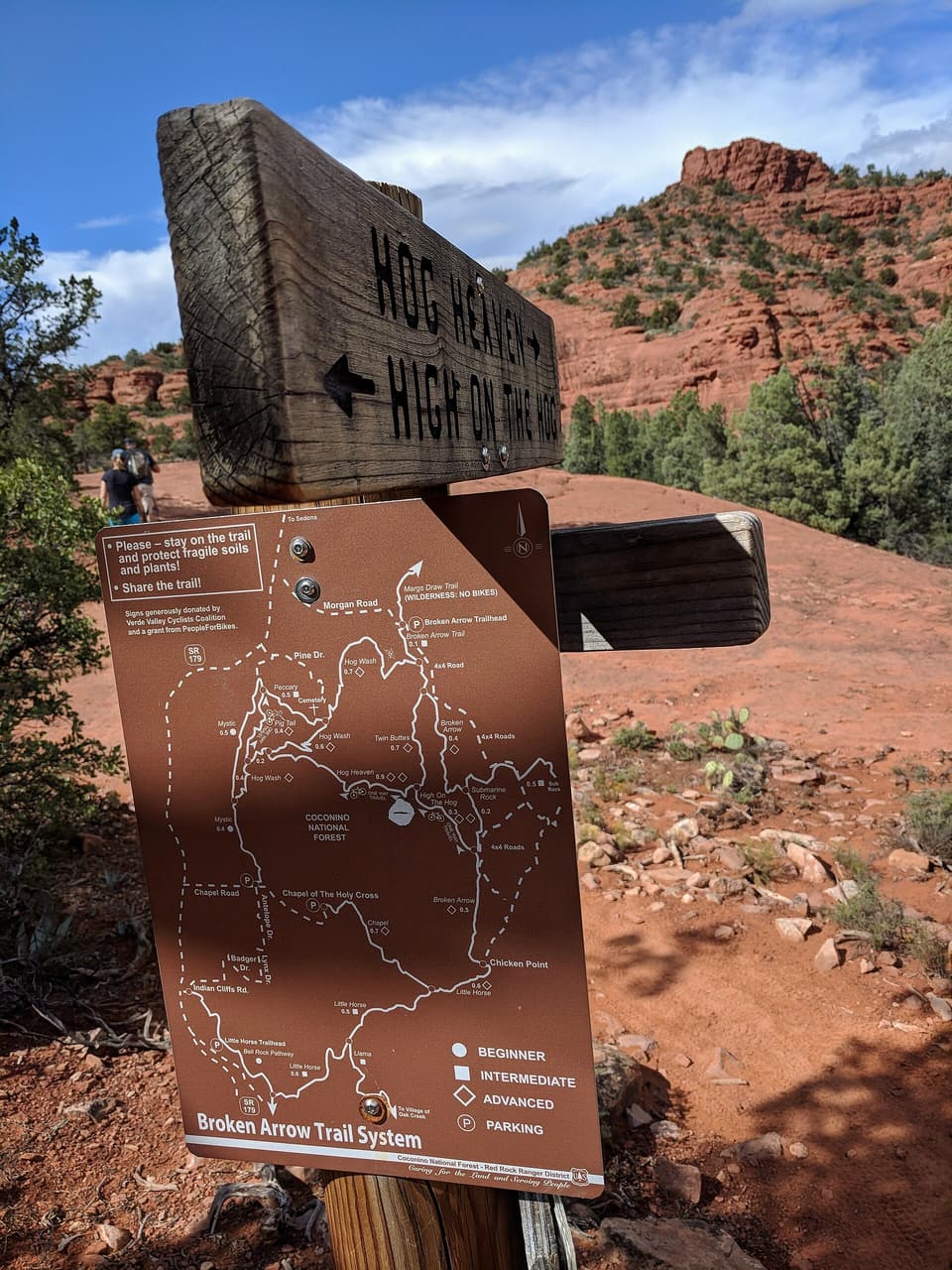
Skywalker Trail covers 1.9 miles inside the Red Rock Ranger District of the Coconino National Forest, on the public land around Sedona, Arizona. The tread is dirt and rock left in place, and grades of 10-12% mean the miles tilt uphill in places. It carries the number 669 and is held to class 3 standards. Cool mornings are the easier time to walk it, and light fades quickly in the canyons. Sturdy shoes help, and so does an early start in summer. Ask the Red Rock Ranger District about current conditions and where you may park at the start.

Verified Verified
Trails

Snake Trail is 0.48 miles near Sedona, in the Red Rock Ranger District of Coconino National Forest, as trail number 162C. The letter marks it as a branch of the route numbered 162, which is a much longer trail. The typical grade is 5 to 8 percent, the surface is native material, and the trail class is 2. The allowed uses are not posted for this one, so ask before you ride. Under half a mile, it is a connector, and it makes most sense read alongside the longer route.

Verified Verified
Trails

A short drive from Sedona, Arizona, Soldier Pass Spur a Trail runs 0.2 miles through the Coconino National Forest and is looked after by the Red Rock Ranger District. Dirt and rock underfoot, with a 5-8% grade that climbs steadily rather than sharply. It carries the number 66A and is held to class 2 standards. Other people share the path, so listen for riders and bikes coming from behind. Bring more water than you think you need, and tell someone your plan. Call the Red Rock Ranger District first if you want to know about fire limits or a temporary closure.

Verified Verified
Soldier Pass Trail, Sedona Coconino NF Photography (CC0-1.0)
Trails

Soldier Pass Trail is a hiking trail in Sedona, Arizona. It is trail number 66 in the Coconino National Forest, and the Red Rock Ranger District manages it. The trail is 2.1 miles long. Its grade runs from 5 to 8 percent, a steady but moderate climb for most hikers. The surface is native material, which means dirt and rock rather than pavement. It is rated trail class 2, a simple path with few built features, so expect uneven footing and wear sturdy shoes. Bring water, and check with the ranger district for current trail conditions before you go.

Verified Verified
Sterling Pass Trail, Sedona davidpinter (CC BY 3.0)
Trails

Sterling Pass Trail is 2.4 miles near Sedona, in the Red Rock Ranger District of Coconino National Forest, as trail number 46. The typical grade is 5 to 8 percent, moderate on paper, but the trail class is 1, the least developed class: rough tread and light marking. The allowed uses are not posted for this one, so ask before you ride. A pass route climbs to a saddle and drops the other side, so expect work in both directions. Carry a map and check conditions with the district office.

Verified Verified
Trails

Walkers heading out from Sedona, Arizona will find Stirrup Trail at 2.8 miles long, in the Red Rock Ranger District of the Coconino National Forest. Grades of 0-5% mean the miles stay close to level. It carries the number 162F and is held to class 3 standards. Storm runoff moves dirt around, so the tread may look different from one season to the next. Carry water, wear shoes with grip, and give yourself more time than the distance suggests. For closures, dog rules, or parking questions, the Red Rock Ranger District is the place to ask.

Verified Verified
Trails

Sugar Loaf Loop is 0.47 miles near Sedona, in the Red Rock Ranger District of Coconino National Forest, as trail number 184. It is a loop, so you finish where you started, and at under half a mile it is a short one. The typical grade is 5 to 8 percent, the surface is native material, and the trail class is 2. The allowed uses are not posted, so ask before you ride. A summit trail branches off it under a lettered version of the same number.

Verified Verified
Trails

This is a 0.2 mile path in the Coconino National Forest. It sits in the Red Rock Ranger District, within reach of Sedona, Arizona. At 5-8% the climb is gentle, and the tread is dirt and rock left as it lies. It carries the number 184A and is held to class 2 standards. Mark where you leave the car. Junctions look alike once you are in the trees. Bring water and sun cover, and start early when the days are warm. Conditions change with storms and fire season, so check with the Red Rock Ranger District before the drive.

Verified Verified
Trails

Walkers heading out from Sedona, Arizona will find Summit Route at 0.2 miles long, in the Red Rock Ranger District of the Coconino National Forest. The path rises at 5-8%, steady rather than steep, over dirt and rock. It carries the number 165C and is held to class 2 standards. Storm runoff moves dirt around, so the tread may look different from one season to the next. Carry water, wear shoes with grip, and give yourself more time than the distance suggests. For closures, dog rules, or parking questions, the Red Rock Ranger District is the place to ask.

Verified Verified
Trails

Table Top Trail is a short trail near Sedona, Arizona. It is numbered 211 and runs 0.43 miles on native material, meaning plain dirt and rock rather than a built or paved surface. The grade is 5-8%, so it climbs steadily without being steep. It is recorded as trail class 1, the least developed class, so expect a narrow path with little signing and no built structures. The trail sits in the Red Rock Ranger District of the Coconino National Forest. Most trailheads on that forest need a pass on the dashboard. Carry water, and start early in summer, because there is no shade to count on.

Verified Verified
Trails

Taylor Cabin Trail is public land walking in the Coconino National Forest, 3.0 miles of it, managed by the Red Rock Ranger District close to Sedona, Arizona. Grades run 5-8%, so the climbing is gradual, and the footing is plain dirt and rock. It carries the number 35 and is held to class 2 standards. Rain and snowmelt can leave the footing slick, and washes may hold water for a day or two. Pack water and a hat. Shade comes and goes, and afternoons heat up fast. The Red Rock Ranger District can tell you about closures and any pass you need to leave a car at the start.

Verified Verified
Trails

Signed as trail 183, Tea Cup Trail stretches 1.65 miles in the Red Rock Ranger District of the Coconino National Forest near Sedona, Arizona. The tread is dirt and rock left in place, and grades of 5-8% mean the miles climb gently. It is held to class 3 standards. Loose rock turns up after storms, so watch your step on the downhill side. Take water for everyone in your group, and turn back if the weather changes. Check with the Red Rock Ranger District for closures, fire limits, and parking rules before you drive out.

Verified Verified
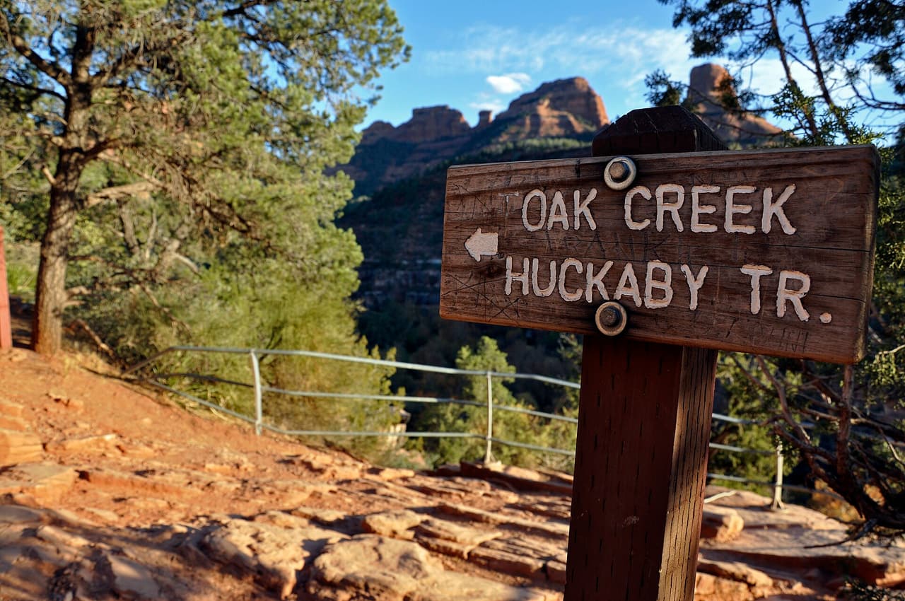
Trails

Telephone Trail covers 0.87 miles inside the Red Rock Ranger District of the Coconino National Forest, on the public land around Sedona, Arizona. Dirt and rock underfoot, with a 5-8% grade that climbs steadily rather than sharply. It carries the number 72 and is held to class 2 standards. Cool mornings are the easier time to walk it, and light fades quickly in the canyons. Sturdy shoes help, and so does an early start in summer. Ask the Red Rock Ranger District about current conditions and where you may park at the start.

Verified Verified
Trails

Thomas Point Trail is 1.0 miles near Sedona, in the Red Rock Ranger District of Coconino National Forest, as trail number 142. It climbs at a typical 5 to 8 percent, over native material. The trail class is 1, the least developed class, so expect rough tread and light marking rather than a graded path. The allowed uses are not posted for this one, so ask before you ride. A mile on a class 1 trail asks more of you than a mile on a built one. Carry a map.

Verified Verified
Trails

A short drive from Sedona, Arizona, Thompson Ladder Trail runs 2.25 miles through the Coconino National Forest and is looked after by the Mogollon Rim Ranger District. The tread is dirt and rock left in place, and grades of 12-20% mean the miles get steep in stretches. It carries the number 14 and is held to class 2 standards. Other people share the path, so listen for riders and bikes coming from behind. Bring more water than you think you need, and tell someone your plan. Call the Mogollon Rim Ranger District first if you want to know about fire limits or a temporary closure.

Verified Verified
Thunder Mountain Trail, Sedona Eric Johnson (CC BY-SA 3.0)
Trails

Thunder Mountain Trail is 3.8 miles near Sedona, in the Red Rock Ranger District of Coconino National Forest, as trail number 165. The typical grade is 5 to 8 percent, moderate across nearly four miles, and the surface is native material. The trail class is 3, which usually means a clear and well defined tread. The allowed uses are not posted, so ask before you ride. Several short lettered trails branch off this number, so the map is worth studying if you want a loop rather than an out and back.

Verified Verified
Trails

This is a 0.64 mile path in the Coconino National Forest. It sits in the Red Rock Ranger District, within reach of Sedona, Arizona. The tread is dirt and rock left in place, and grades of 10-12% mean the miles tilt uphill in places. It carries the number 125F and is held to class 2 standards. Mark where you leave the car. Junctions look alike once you are in the trees. Bring water and sun cover, and start early when the days are warm. Conditions change with storms and fire season, so check with the Red Rock Ranger District before the drive.

Verified Verified
Trails

Two Fence Trail is 0.7 miles near Sedona, in the Red Rock Ranger District of Coconino National Forest, as trail number 162A. The letter marks it as a branch of the longer route numbered 162. The typical grade is 5 to 8 percent, the surface is native material, and the trail class is 2. The allowed uses are not posted for this one, so ask before you ride. Under three quarters of a mile, this is a connector, and the sensible way to read it is on a map with the route it leaves.

Verified Verified
Vultee Arch Trail, Sedona Coconino National Forest (CC0-1.0)
Trails

Walkers heading out from Sedona, Arizona will find Vultee Arch Trail at 1.66 miles long, in the Red Rock Ranger District of the Coconino National Forest. At 5-8% the climb is gentle, and the tread is dirt and rock left as it lies. It carries the number 22 and is held to class 2 standards. Storm runoff moves dirt around, so the tread may look different from one season to the next. Carry water, wear shoes with grip, and give yourself more time than the distance suggests. For closures, dog rules, or parking questions, the Red Rock Ranger District is the place to ask.

Verified Verified
Trails

Ward Trail is public land walking in the Coconino National Forest, 6.05 miles of it, managed by the Mogollon Rim Ranger District close to Sedona, Arizona. It carries the number 231A and is held to class 3 standards. Rain and snowmelt can leave the footing slick, and washes may hold water for a day or two. Pack water and a hat. Shade comes and goes, and afternoons heat up fast. The Mogollon Rim Ranger District can tell you about closures and any pass you need to leave a car at the start.

Verified Verified
West Fork Trail, Sedona Coconino National Forest (public-domain)
Trails

West Fork Trail is public land walking in the Coconino National Forest, 3.2 miles of it, managed by the Red Rock Ranger District close to Sedona, Arizona. The path rises at 5-8%, steady rather than steep, over dirt and rock. It carries the number 108 and is held to class 2 standards. Rain and snowmelt can leave the footing slick, and washes may hold water for a day or two. Pack water and a hat. Shade comes and goes, and afternoons heat up fast. The Red Rock Ranger District can tell you about closures and any pass you need to leave a car at the start.

Verified Verified
Trails

Willard Trail is 4.83 miles near Sedona, in the Mogollon Rim Ranger District of Coconino National Forest, as trail number 245B. The letter puts it in the family sharing the number 245, and it is one of the longer members. The typical grade is 5 to 8 percent, moderate for the distance, and the surface is native material. Trail class 3. The allowed uses are not posted, so ask before you ride. Nearly five miles is a half day, and that district's roads are rough.

Verified Verified
Wilson Canyon Trail, Sedona On^ste82 (CC BY 3.0)
Trails

Signed as trail 49, Wilson Canyon Trail stretches 1.16 miles in the Red Rock Ranger District of the Coconino National Forest near Sedona, Arizona. Grades run 5-8%, so the climbing is gradual, and the footing is plain dirt and rock. It is held to class 2 standards. Loose rock turns up after storms, so watch your step on the downhill side. Take water for everyone in your group, and turn back if the weather changes. Check with the Red Rock Ranger District for closures, fire limits, and parking rules before you drive out.

Verified Verified
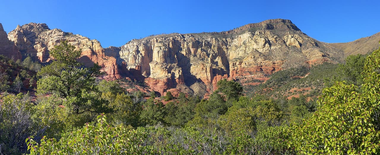
Trails

Wilson Mountain Spur a Trail covers 0.79 miles inside the Red Rock Ranger District of the Coconino National Forest, on the public land around Sedona, Arizona. The tread is dirt and rock left in place, and grades of 5-8% mean the miles climb gently. It carries the number 10A and is held to class 1 standards. Cool mornings are the easier time to walk it, and light fades quickly in the canyons. Sturdy shoes help, and so does an early start in summer. Ask the Red Rock Ranger District about current conditions and where you may park at the start.

Verified Verified
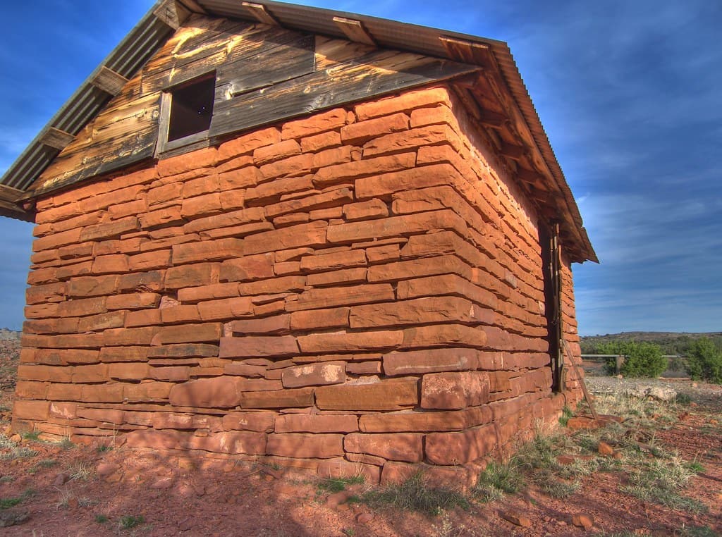
Trails

Wilson Mountain Spur B Trail is 0.32 miles near Sedona, in the Red Rock Ranger District of Coconino National Forest, as trail number 10B. It is one of several lettered spurs off the route numbered 10. Expect native material and a typical grade of 5 to 8 percent. The trail class is 1, the least developed class there is, so expect rough ground and few signs. No list of allowed uses is posted for this spur, so read the signs at the junction. Plan the main trail rather than this branch.

Verified Verified
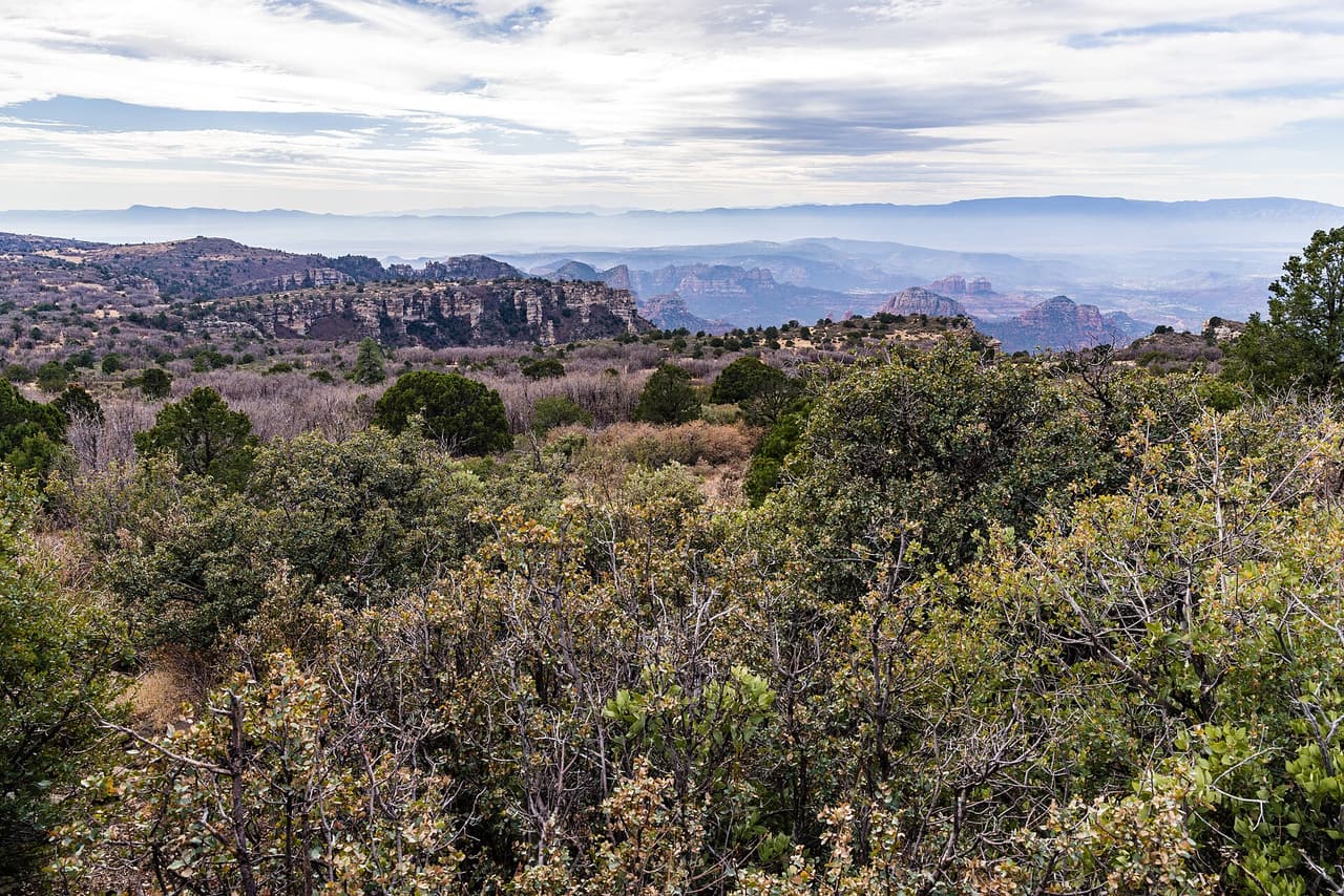
Trails

Wilson Mountain Spur D Trail is 0.29 miles near Sedona, in the Red Rock Ranger District of Coconino National Forest, as trail number 10D. It is another of the lettered spurs off the route numbered 10, and the shortest of those listed. Native material underfoot, at a typical grade of 5 to 8 percent. The trail class is 1, the least developed class. The allowed uses are not posted for this one, so ask before you ride. Read it on a map with the main climb.

Verified Verified
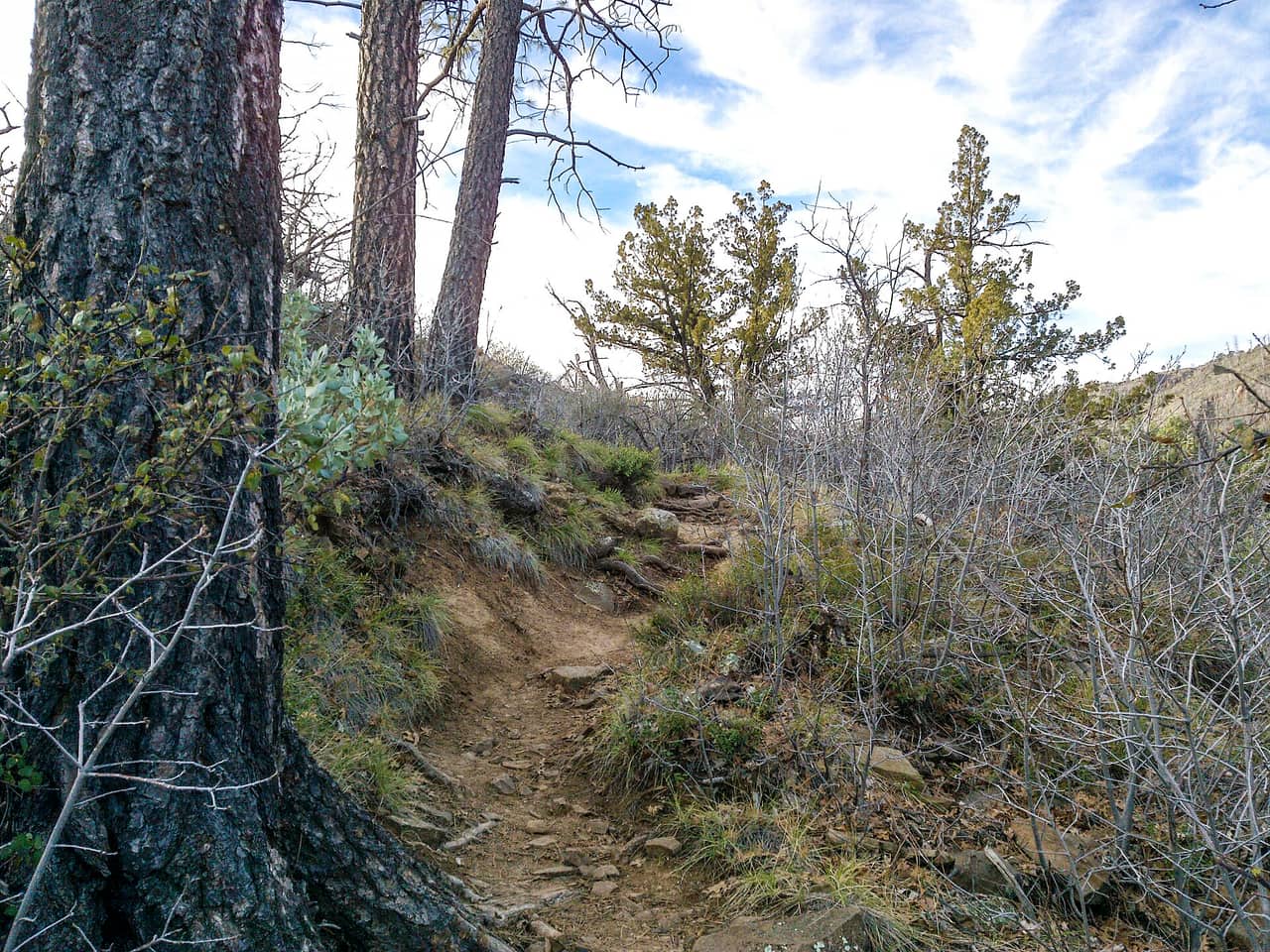
Wilson Mountain Trail, Sedona davidpinter (CC BY 3.0)
Trails

A short drive from Sedona, Arizona, Wilson Mountain Trail runs 5.55 miles through the Coconino National Forest and is looked after by the Red Rock Ranger District. Dirt and rock underfoot, with a 5-8% grade that climbs steadily rather than sharply. It carries the number 10 and is held to class 2 standards. Other people share the path, so listen for riders and bikes coming from behind. Bring more water than you think you need, and tell someone your plan. Call the Red Rock Ranger District first if you want to know about fire limits or a temporary closure.

Verified Verified
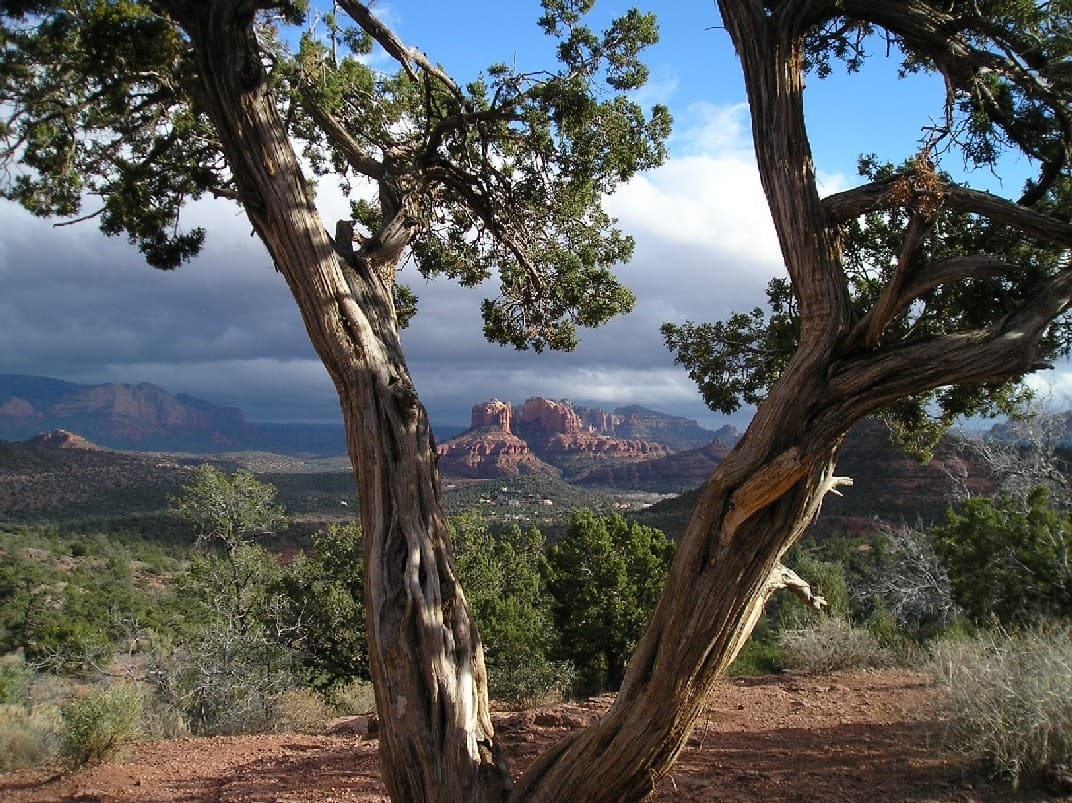
Trails

This is a 5.65 mile path in the Coconino National Forest. It sits in the Mogollon Rim Ranger District, within reach of Sedona, Arizona. The tread is dirt and rock left in place, and grades of 12-20% mean the miles get steep in stretches. It carries the number 70 and is held to class 2 standards. Mark where you leave the car. Junctions look alike once you are in the trees. Bring water and sun cover, and start early when the days are warm. Conditions change with storms and fire season, so check with the Mogollon Rim Ranger District before the drive.

Verified Verified
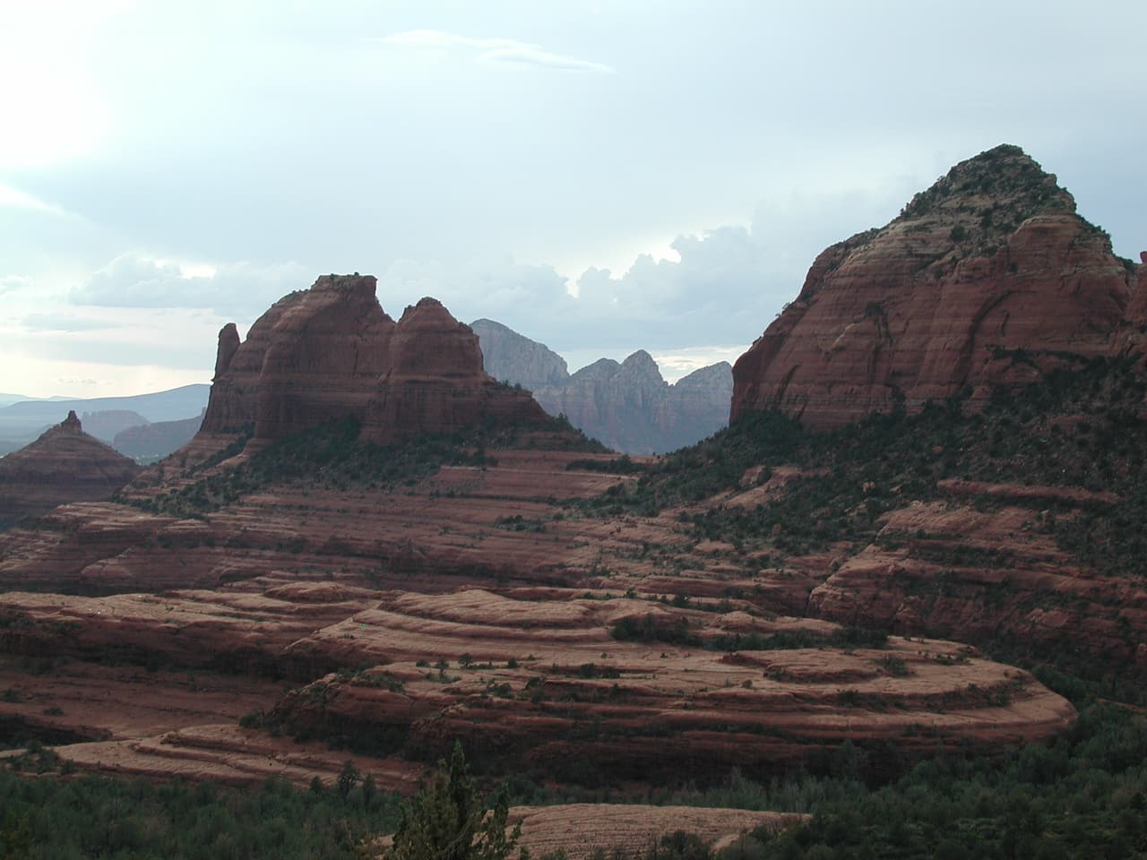
Trails

Walkers heading out from Sedona, Arizona will find Yucca Trail at 0.38 miles long, in the Red Rock Ranger District of the Coconino National Forest. At 5-8% the climb is gentle, and the tread is dirt and rock left as it lies. It carries the number 174E and is held to class 2 standards. Storm runoff moves dirt around, so the tread may look different from one season to the next. Carry water, wear shoes with grip, and give yourself more time than the distance suggests. For closures, dog rules, or parking questions, the Red Rock Ranger District is the place to ask.

Verified Verified