Red Rock State Park, Village of Oak Creek
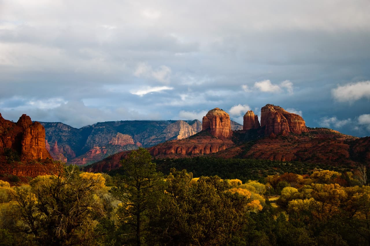
Photo: Peter D. Tillman from USA (CC BY-SA 2.0) · source

Parks · Village of Oak Creek · Trails

Red Rock State Park

Address
4050 Red Rock Loop Rd, Sedona, AZ 86336 · Directions
Phone
(928) 282-6907
Website
azstateparks.com
Hours
Mon–Sun8 am–5 pm
Fee
$10 adult (14+), $5 youth (7-13), free 0-6, $5 walk-in

About

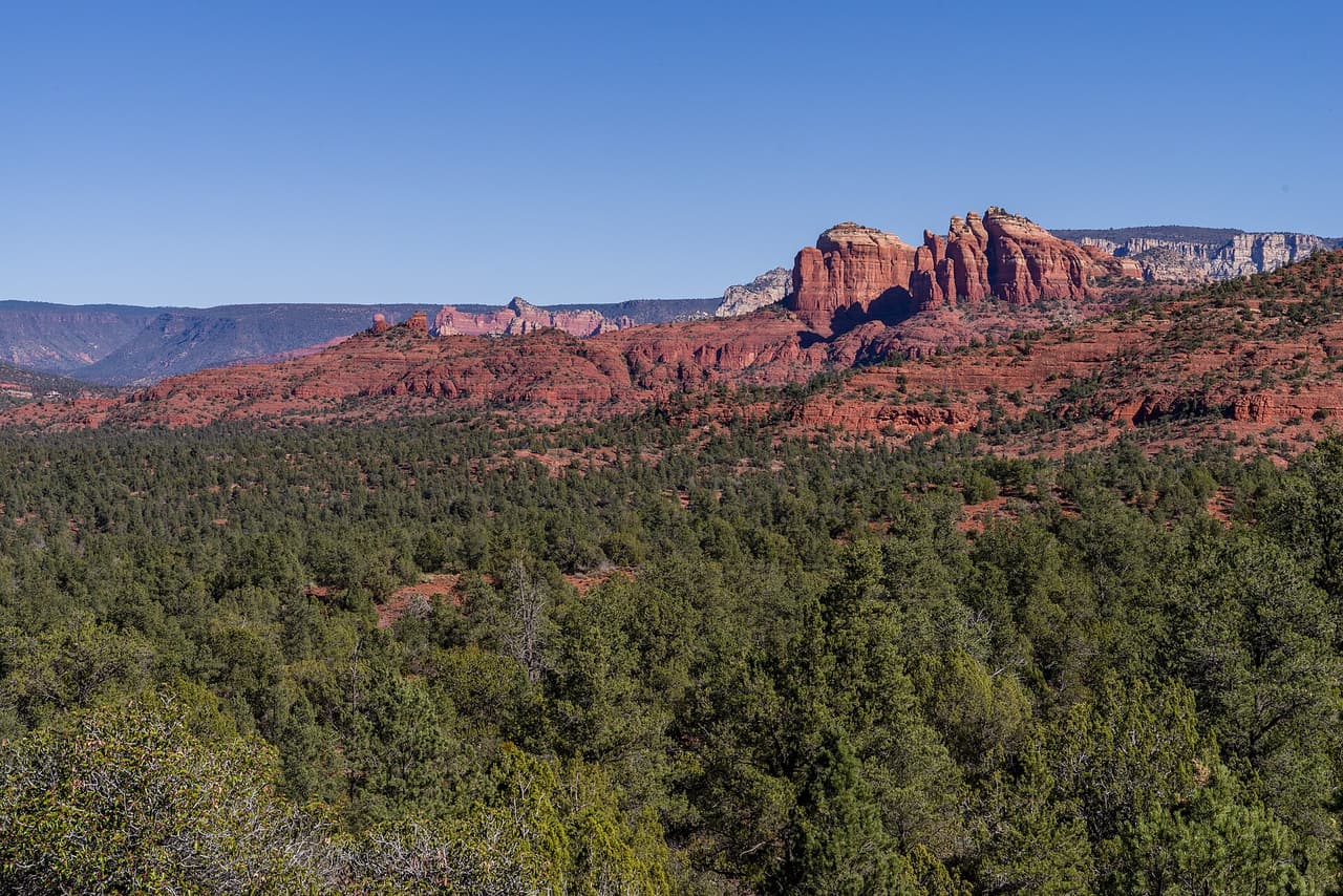
Red Rock State Park is at 4050 Red Rock Loop Rd, managed by Arizona State Parks. The park is open 8 a.m. to 5 p.m. daily, the visitor center runs 9 a.m. to 4:30 p.m., and last entry is 4:30 PM, so arriving late in the afternoon does not work here. Entry is $10 for an adult aged 14 and over, $5 for ages 7 to 13, free for under 7, and $5 to walk in. One thing about our own record: the postal address says Sedona while we file the park under Village of Oak Creek. Call (928) 282-6907 to confirm anything seasonal.

Last verified by open-data

Photos
0 Was this listing useful?
Reviews

What people say

Loading reviews…

Reader notes

Loading notes…

Nearby

Close to Red Rock State Park

Sedona · Campgrounds · 980 m

A campground at 72 Loy Lane outside Sedona, operated by Global Community Communications Alliance. Wifi is available on site, which is unusual for a camp in this country and useful if you work while you travel. Site types, fees, length limits for a vehicle, and whether water and power are hooked up are not listed here, so ask before you commit to a night. The phone number is (888) 444-1490. Because the camp is run by a private group rather than a public agency, the rules and the booking process are its own, so read them on the camp website first.

Verified Verified
Turkey Creek Trail, Village of Oak Creek Coconino National Forest (CC0-1.0)
Village of Oak Creek · Trails · 1.3 km

Turkey Creek Trail runs about 3.41 miles through the red rock country around the Village of Oak Creek, Arizona. The grade is listed at 5-8%, so there is some climbing but nothing sustained for long. Walkers cross native material. It is signed as trail number 92 and rated trail class 2. The Red Rock Ranger District of the Coconino National Forest takes care of it. Check current conditions before you go, because weather, fire, or repair work can close a route. Carry water and tell someone where you plan to walk.

Verified Verified
Village of Oak Creek · Trails · 2.1 km

Near the Village of Oak Creek, Arizona, Baldwin Trail covers about 2.52 miles. Grade is 5-8% and the walking surface is native material. The route holds a trail class 3 rating and is numbered 191. It lies in the Coconino National Forest, in the Red Rock Ranger District. Match the trail number to the signs at junctions so you stay on the route you meant to take. Read the rules posted at the trailhead, since not every route is open to bikes, horses, or dogs. Park only in marked spaces and pack out everything you bring in.

Verified Verified
Sedona · Trails · 2.2 km

Walkers heading out from Sedona, Arizona will find Pyramid Trail at 1.25 miles long, in the Red Rock Ranger District of the Coconino National Forest. The tread is dirt and rock left in place, and grades of 10-12% mean the miles tilt uphill in places. It carries the number 674 and is held to class 3 standards. Storm runoff moves dirt around, so the tread may look different from one season to the next. Carry water, wear shoes with grip, and give yourself more time than the distance suggests. For closures, dog rules, or parking questions, the Red Rock Ranger District is the place to ask.

Verified Verified
Village of Oak Creek · Trails · 2.5 km

About 0.42 miles long, Red Rock Crossing Trail sits on Coconino National Forest land near the Village of Oak Creek, Arizona. The Red Rock Ranger District keeps it up. Look for the number 191B where routes meet. The path is made of native material, rated trail class 3, and rises at a grade of 5-8%. Park only in marked spaces and pack out everything you bring in. Phone service is not reliable on forest land, so save a map before you leave town. Plan a turnaround time, and turn back early if the light or the weather changes.

Verified Verified
Cottonwood · Parks

Cottonwood Kid's Park is a city park at 350 South 12th Street in Cottonwood, Arizona. It is run by the City of Cottonwood. The posted opening hours are Mo-Sa 09:00-17:00, so it is open six days a week through the middle of the day and closed on Sunday. Those hours are what the city posts for the park itself, and shade and water at a park like this can depend on the season, so plan a summer visit for the morning. There is no phone number on this listing. For questions about the park, or about closures for maintenance or a scheduled event, contact the City of Cottonwood.

Verified Verified
Crescent Moon Ramada, Sedona Conservation Legacy (public-domain)
Sedona · Parks

Crescent Moon Ramada is a reservable day-use ramada at 333 RED ROCK CROSSING RD., SEDONA, AZ, 86336. It is a shelter you book for the day, not a campsite, although it arrived in the source filed as a campground. The phone number is (928) 204-0028, and it is booked through recreation.gov. It is not recorded as having ADA access. From Phoenix, take I-17 north to State Highway 179, go north for 13 miles to Sedona, turn left on Highway 89A and continue south for 4 miles, then turn left on Upper Red Rock Loop Road and go another 4 miles to Crescent Moon.

Verified Verified
Dead Horse Ranch State Park Benjamin Cody (Murderbike) (CC BY-SA 3.0)
Cottonwood · Parks

Dead Horse Ranch State Park is at 675 Dead Horse Ranch Road in Cottonwood, managed by Arizona State Parks. The features listed are lagoons, fishing, canoeing, hiking trails, a campground and camping cabins, which makes it the park in this valley you can stay at rather than just visit. Entry is $10 per vehicle for one person, $20 for two to four people, and $5 to walk in or cycle. The visitor center is open 8:00 AM to 4:30 PM daily. Call (928) 634-5283 about camping, which books up, or see azstateparks.com.

Verified Verified