Vultee Arch Trail, Sedona
Photo: Coconino National Forest (CC0-1.0) · source

Trails · Sedona

Vultee Arch Trail

Length
1.66 mi
Surface
Native material
Trail class
2 of 5, moderately developed

About

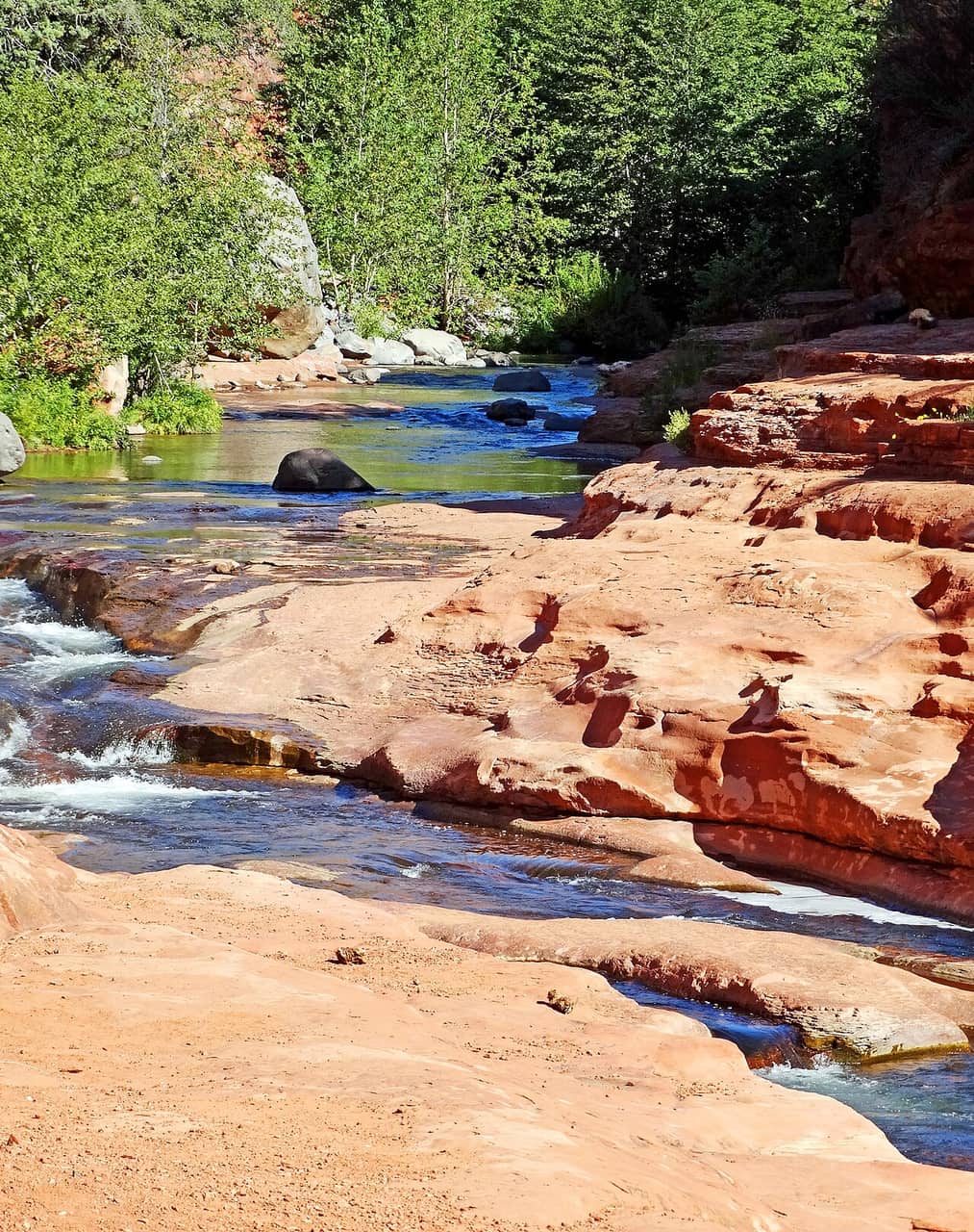
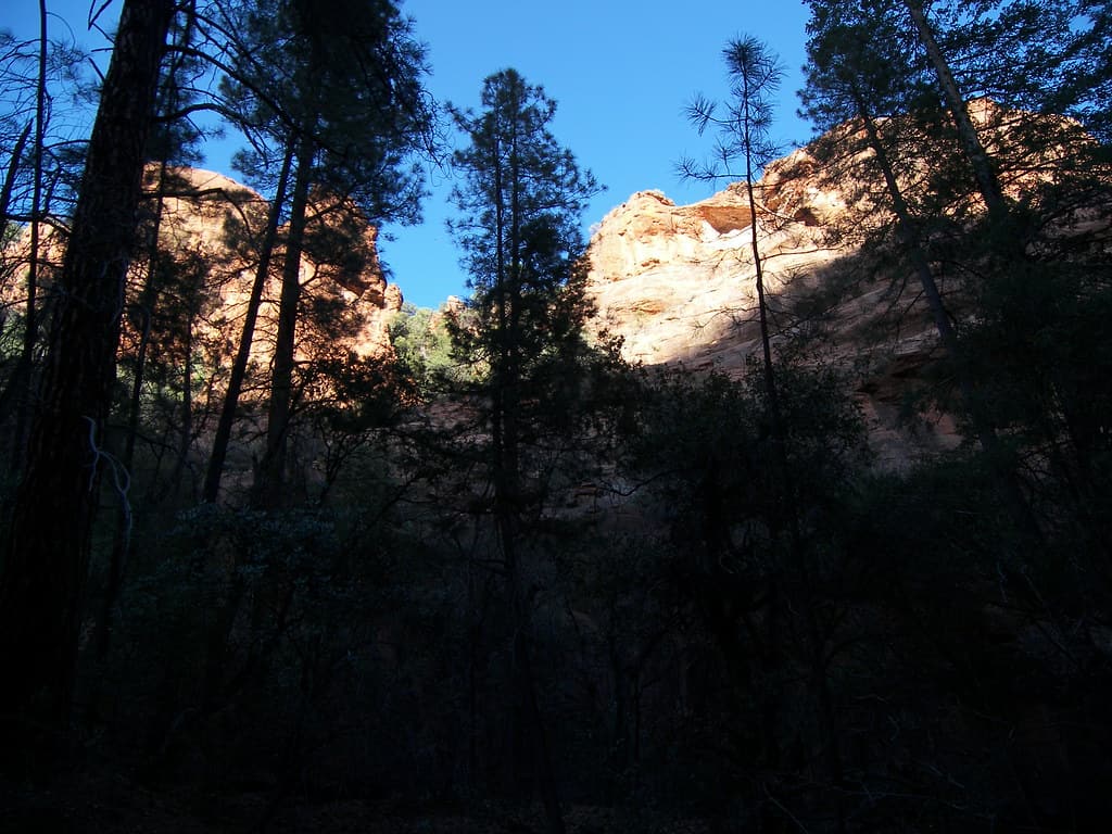
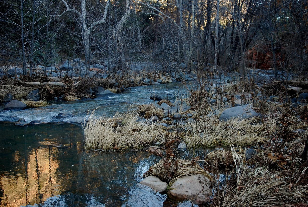
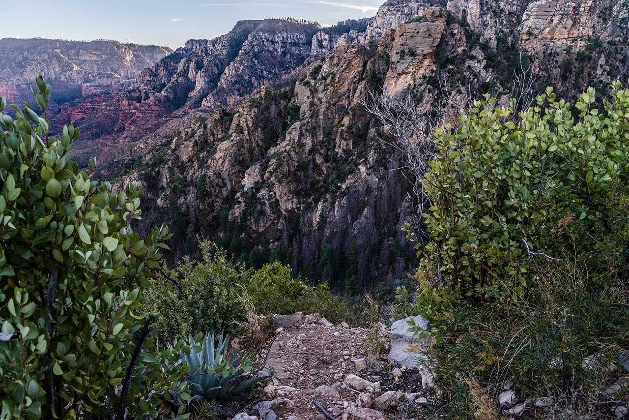
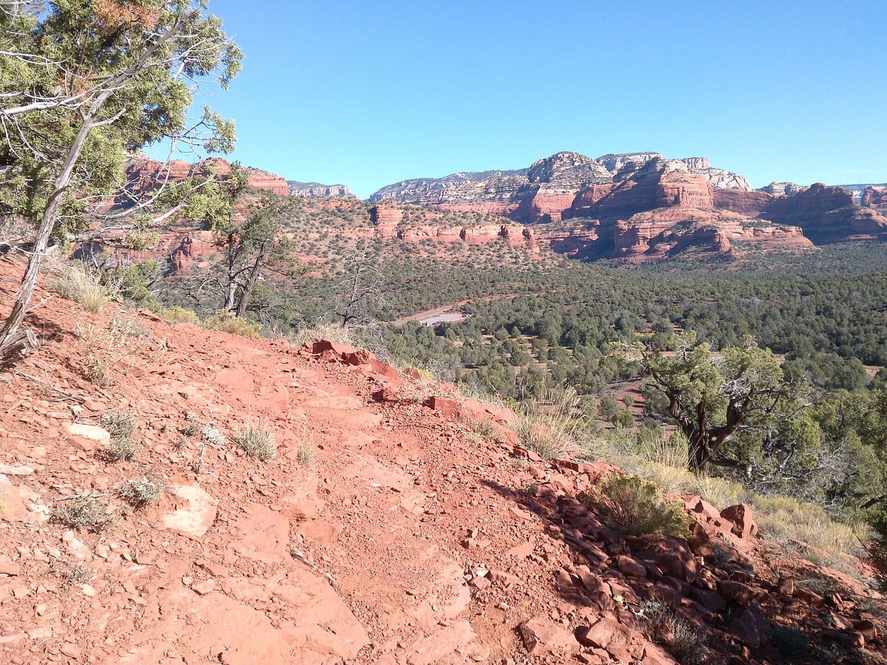
Walkers heading out from Sedona, Arizona will find Vultee Arch Trail at 1.66 miles long, in the Red Rock Ranger District of the Coconino National Forest. At 5-8% the climb is gentle, and the tread is dirt and rock left as it lies. It carries the number 22 and is held to class 2 standards. Storm runoff moves dirt around, so the tread may look different from one season to the next. Carry water, wear shoes with grip, and give yourself more time than the distance suggests. For closures, dog rules, or parking questions, the Red Rock Ranger District is the place to ask.

Last verified by open-data

0 Was this listing useful?
Reviews

What people say

Loading reviews…
Reader notes

Loading notes…

Nearby

Close to Vultee Arch Trail

Sedona · Trails · 1.9 km

Dry Creek Trail covers about 2.7 miles and is signed as trail 52. It sits on the Coconino National Forest and is looked after by the Red Rock Ranger District. Expect native material underfoot rather than a built or paved path. Grades run between 5 and 8 percent, so expect that much climb and drop. Forest records put it at trail class 2. Storms and snow change conditions fast, so ask the ranger district about closures before you drive out. Small lots fill early on weekends and holidays. Stay on the worn tread to keep the soil and plants around it intact.

Verified Verified
Sterling Pass Trail, Sedona davidpinter (CC BY 3.0)
Sedona · Trails · 2.1 km

Sterling Pass Trail is 2.4 miles near Sedona, in the Red Rock Ranger District of Coconino National Forest, as trail number 46. The typical grade is 5 to 8 percent, moderate on paper, but the trail class is 1, the least developed class: rough tread and light marking. The allowed uses are not posted for this one, so ask before you ride. A pass route climbs to a saddle and drops the other side, so expect work in both directions. Carry a map and check conditions with the district office.

Verified Verified
Slide Rock State Park Don Graham (CC BY-SA 2.0)
Sedona · Swimming holes · 2.6 km

Slide Rock State Park is at 6871 N. Highway 89A in Sedona, managed by Arizona State Parks. Hours change with the season: 8 AM to 6 PM from January 31 to November 20, with entry and swimming closing at 5 PM, and 9 AM to 5 PM from November 21 to January 30. So does the fee: $30 per vehicle for one to four people through August 21, 2026, then $20 from August 22, 2026 to April 2027, with $5 for each extra person and under 6 free. The phone number is (928) 282-3034. Parking fills early on hot days, and the lot closing is what turns people away rather than the park itself.

Verified Verified
Bear Sign Trail, Sedona deborah.soltesz (CC0-1.0)
Sedona · Trails · 3.3 km

Bear Sign Trail is one of the longer walks in this group, 3.1 miles in the Red Rock Ranger District of the Coconino National Forest. Grades hold between 5 and 8 percent, so the effort is spread out rather than concentrated in one climb. The tread is native material, packed dirt and rock, and crossings can be muddy or wet after rain. Signs and maps carry the number 59, and the route is rated trail class 2. Plan for the full distance out and back unless you are linking it with another trail. Carry water and tell someone your plan.

Verified Verified
MANZANITA., Sedona Chris English (CC BY-SA 3.0)
Sedona · Campgrounds · 3.6 km

Manzanita is a campground at 5900 N HW 89A near Sedona, in Oak Creek Canyon. Sites can be reserved, and it is not marked as accessible. Directions on file give two ways in. From Phoenix, take I-17 north to Exit 298 for Highway 179, follow 179 north to Sedona, then turn north on Highway 89A and drive 6 miles up the canyon. From Flagstaff, take I-17 south, exit toward Sedona, and drive 23 miles south on a winding mountain road. The phone number on file is (928) 204-2034. We have no fees, open season, site count, or water details listed, so call before you go.

Verified Verified
More

Also in Trails

All trails in Sedona →
A B Young Trail, Sedona Coconino National Forest (CC0-1.0)
Sedona · Trails

A B Young Trail covers 2.09 miles near Sedona, in the Red Rock Ranger District of Coconino National Forest. It is trail number 100. The typical grade is 10 to 12 percent, which is steep enough that the mileage understates the effort, and the surface is native material. It is a class 2 trail. The allowed uses are not posted, so ask before you ride. This is a well known climb and it can be busy, so an early start helps with both parking and heat. Trailhead parking details are not posted, and parking rules around Sedona change, so check before you drive out.

Verified Verified
Sedona · Trails

Adobe Jack Trail is a 2.1 mile path in the Coconino National Forest near Sedona, Arizona. The Red Rock Ranger District takes care of it. The tread is native material, so you walk on packed dirt and rock rather than pavement. Grades run about 8 to 10 percent, which means steady short climbs rather than flat walking. It is listed as trail number 660 and rated trail class 2, a simple developed path with no pavement and no railings. Wear shoes with grip, carry more water than you think you need, and check the district for closures before you drive out to the trailhead.

Verified Verified
Aerie Trail, Sedona davidpinter (CC BY 3.0)
Sedona · Trails

Aerie Trail runs 2.75 miles over native dirt and rock in the Coconino National Forest outside Sedona. Grades sit between 5 and 8 percent, so the climbing is gentle and steady rather than steep. It is listed as trail number 168 and rated trail class 2, which means a developed path with a clear tread but no pavement and no railings. The Red Rock Ranger District manages it. Shade is thin on most trails in this country, so carry more water than you think you need, start early in warm months, and check for closures before you drive to the trailhead.

Verified Verified