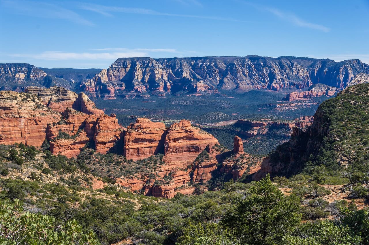
Bear Mountain Trail, Sedona
Photo: Coconino National Forest (CC0-1.0) · source

Trails · Sedona

Bear Mountain Trail

Length
2.35 mi
Surface
Native material
Trail class
2 of 5, moderately developed

About

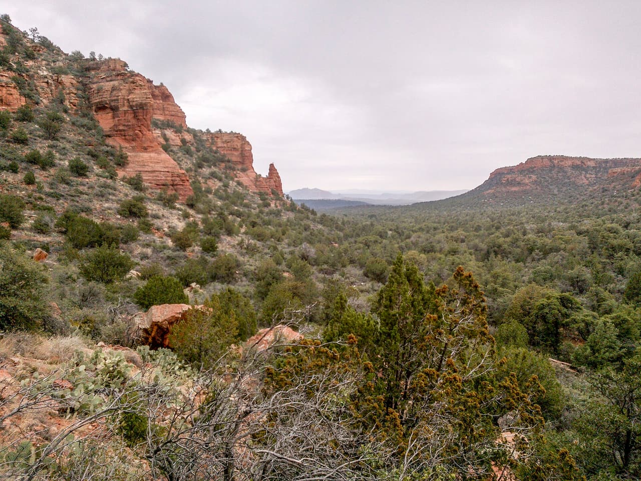
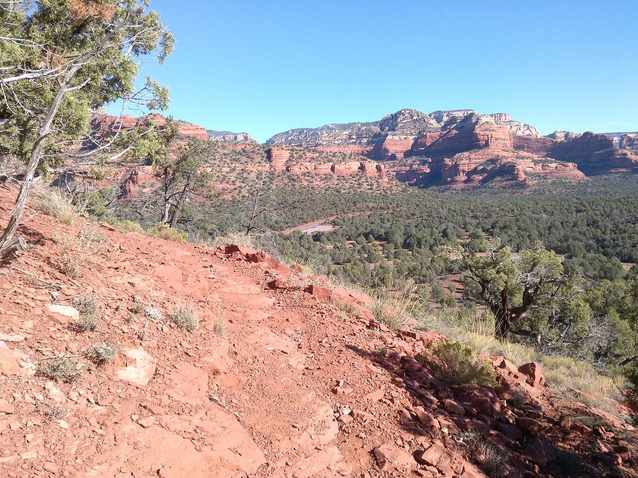
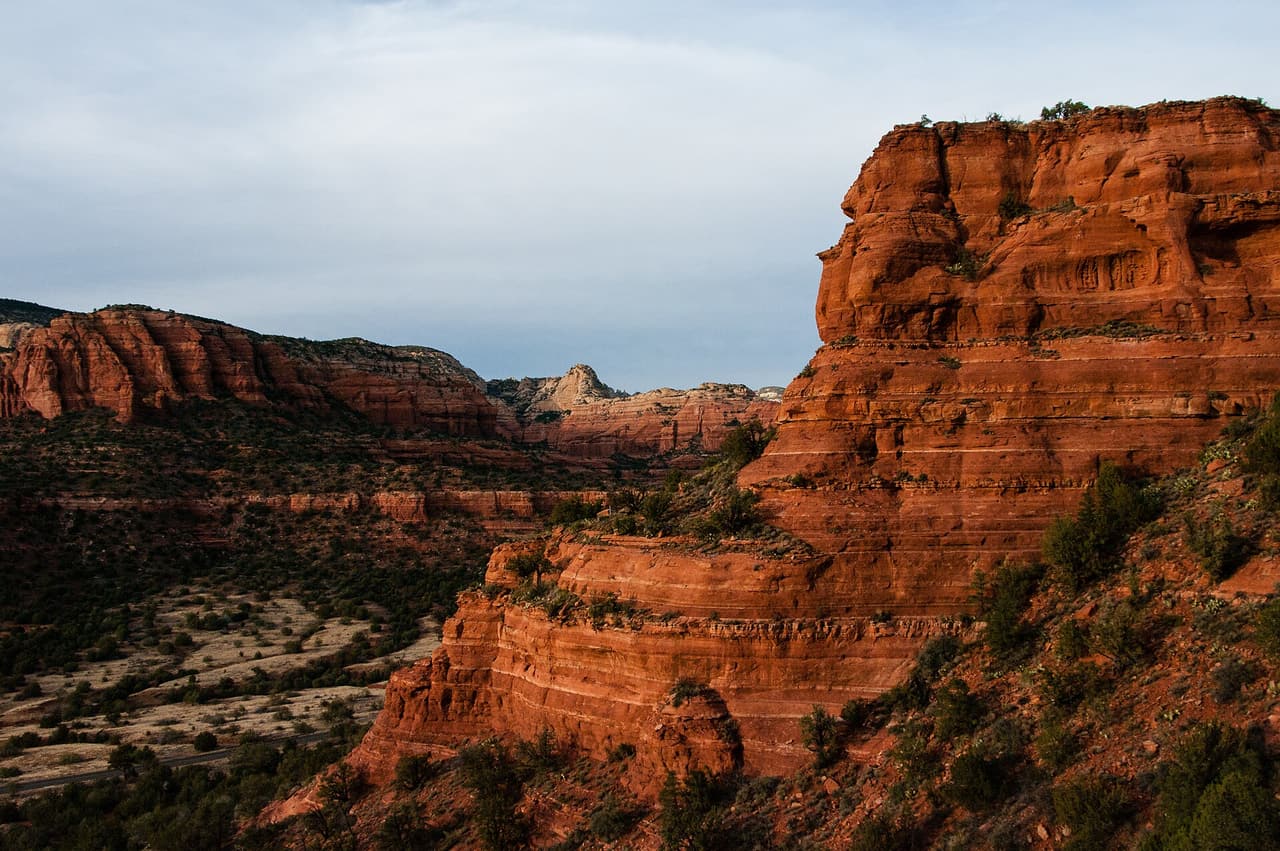
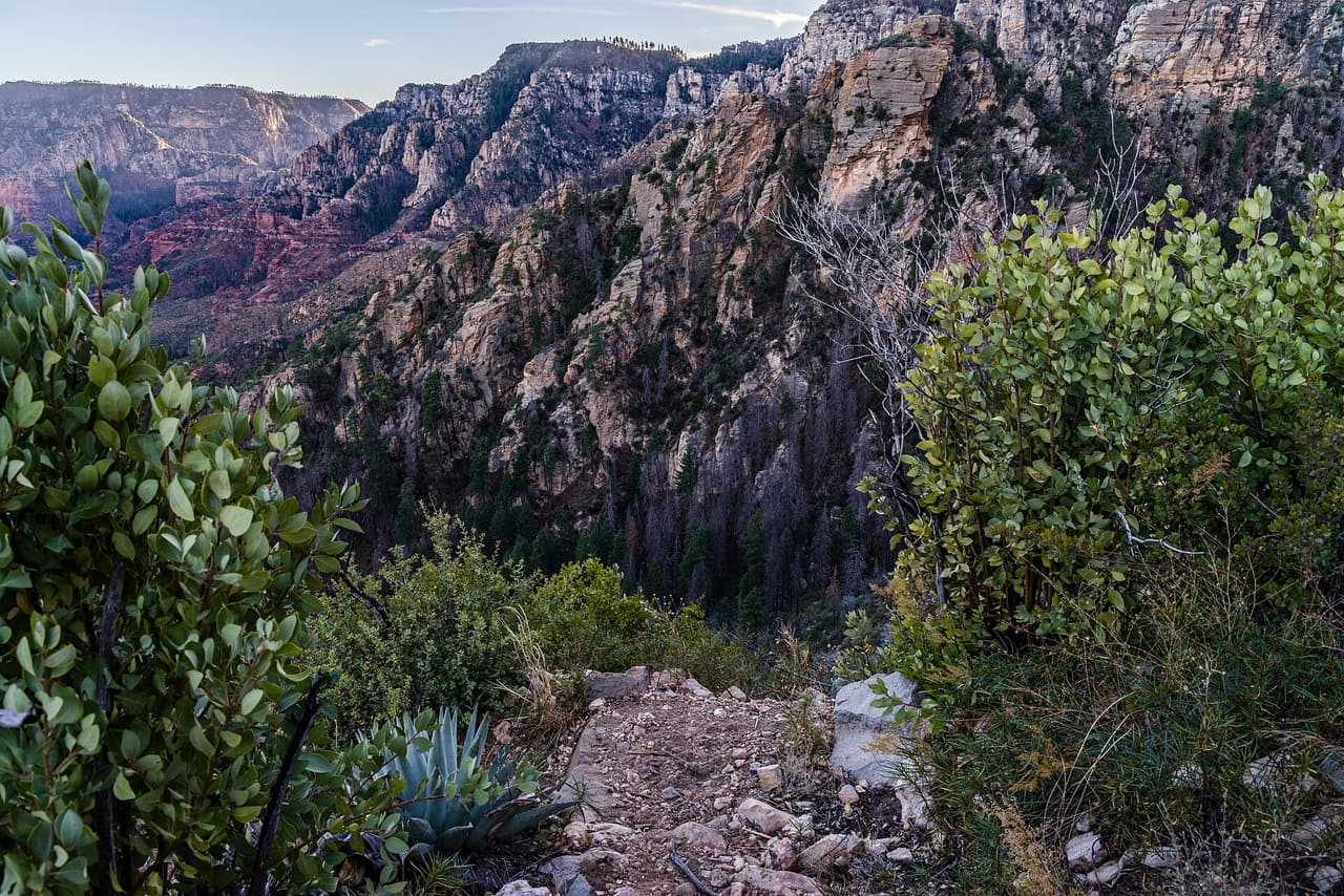
This is a climb, not a stroll. Bear Mountain Trail runs 2.35 miles in the Red Rock Ranger District of the Coconino National Forest, and its grades reach 20 to 30 percent, far steeper than most routes nearby. The surface is native material, dirt and rock, with sections where you are stepping up ledges rather than walking. It is signed as trail 54 and rated trail class 2. Allow much more time than the distance suggests, carry plenty of water, and turn back if heat or weather builds. Sturdy shoes matter here. Check conditions before you drive to the trailhead.

Last verified by open-data

0 Was this listing useful?
Reviews

What people say

Loading reviews…

Reader notes

Loading notes…

Nearby

Close to Bear Mountain Trail

Sedona · Cleaning · 516 m

Merry Maids of Cottonwood is a home cleaning service at 3545 E State Route 89A. It cleans homes in Cottonwood, Clarkdale, Cornville, and Camp Verde. It offers free estimates. Choices include regular cleaning, one-time jobs, deep cleaning, move in and move out cleaning, and cleaning after building work. The office is open Monday through Friday from 8 a.m. to 5 p.m. To set up a visit, call (928) 504-5556. The national line, (888) 894-6174, can also point you to this office. Ask how often the crew can come, what is covered in each visit, and what the price will be.

Verified Verified
Fay Canyon Trail, Sedona davidpinter (CC BY 3.0)
Sedona · Trails · 1.1 km

Look for trail 53 on forest signs and maps. That is Fay Canyon Trail, a route of roughly 1.12 miles inside the Coconino National Forest. The Red Rock Ranger District manages it. The surface is native material, which means packed dirt and rock rather than paving. Slopes fall in the 0 to 5 percent band, and the route is rated trail class 3. Pack out everything you carry in, food scraps included. Temperatures swing a lot between morning and afternoon, so dress in layers. Tell someone where you are going and when you plan to be back.

Verified Verified
Aerie Trail, Sedona davidpinter (CC BY 3.0)
Sedona · Trails · 1.8 km

Aerie Trail runs 2.75 miles over native dirt and rock in the Coconino National Forest outside Sedona. Grades sit between 5 and 8 percent, so the climbing is gentle and steady rather than steep. It is listed as trail number 168 and rated trail class 2, which means a developed path with a clear tread but no pavement and no railings. The Red Rock Ranger District manages it. Shade is thin on most trails in this country, so carry more water than you think you need, start early in warm months, and check for closures before you drive to the trailhead.

Verified Verified
Sedona · Tree service · 1.8 km

Tree work for homes and businesses across northern Arizona. The jobs listed include removing trees, trimming and pruning, taking out dead wood, grinding and pulling stumps, clearing brush to cut wildfire fuel, storm cleanup and checking whether a tree has become a risk. Estimates are free, so a homeowner can find out what a job costs before committing to it. The office takes calls Monday through Friday, 8 a.m. to 5 p.m., and is closed Saturday and Sunday. The number is (928) 286-2522, and email goes to paul@aznorthtree.com. Ask about insurance, cleanup and timing when you set up a visit.

Verified Verified
Doe Mountain Trail, Sedona Coconino NF Photography (CC0-1.0)
Sedona · Trails · 1.9 km

Trail class 2, grade 12 to 20 percent, and a length near 0.76 miles: that is the shape of Doe Mountain Trail. It lies on the Coconino National Forest, in the Red Rock Ranger District, and shows up on maps as trail 60. Nothing is paved. The surface is native material, dirt and rock as found. Wear shoes with grip and take care on loose rock. Phone service is patchy out here, so save a map to your phone first. Step to the side and let horses pass when you meet riders.

Verified Verified
More

Also in Trails

All trails in Sedona →
A B Young Trail, Sedona Coconino National Forest (CC0-1.0)
Sedona · Trails

A B Young Trail covers 2.09 miles near Sedona, in the Red Rock Ranger District of Coconino National Forest. It is trail number 100. The typical grade is 10 to 12 percent, which is steep enough that the mileage understates the effort, and the surface is native material. It is a class 2 trail. The allowed uses are not posted, so ask before you ride. This is a well known climb and it can be busy, so an early start helps with both parking and heat. Trailhead parking details are not posted, and parking rules around Sedona change, so check before you drive out.

Verified Verified
Sedona · Trails

Adobe Jack Trail is a 2.1 mile path in the Coconino National Forest near Sedona, Arizona. The Red Rock Ranger District takes care of it. The tread is native material, so you walk on packed dirt and rock rather than pavement. Grades run about 8 to 10 percent, which means steady short climbs rather than flat walking. It is listed as trail number 660 and rated trail class 2, a simple developed path with no pavement and no railings. Wear shoes with grip, carry more water than you think you need, and check the district for closures before you drive out to the trailhead.

Verified Verified
Aerie Trail, Sedona davidpinter (CC BY 3.0)
Sedona · Trails

Aerie Trail runs 2.75 miles over native dirt and rock in the Coconino National Forest outside Sedona. Grades sit between 5 and 8 percent, so the climbing is gentle and steady rather than steep. It is listed as trail number 168 and rated trail class 2, which means a developed path with a clear tread but no pavement and no railings. The Red Rock Ranger District manages it. Shade is thin on most trails in this country, so carry more water than you think you need, start early in warm months, and check for closures before you drive to the trailhead.

Verified Verified