
Nearby
Close to Weir Trail
 Coconino National Forest (CC0-1.0)
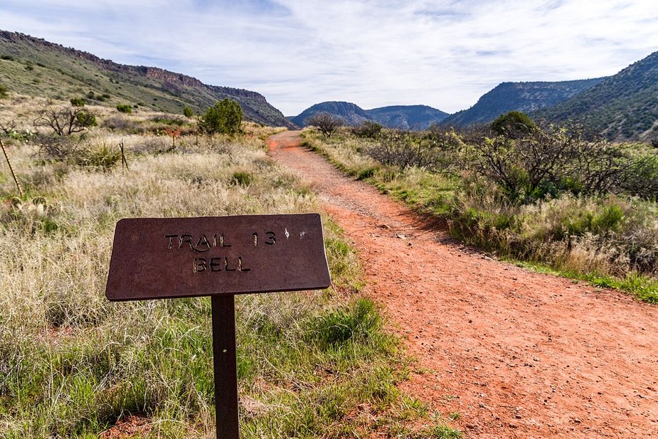
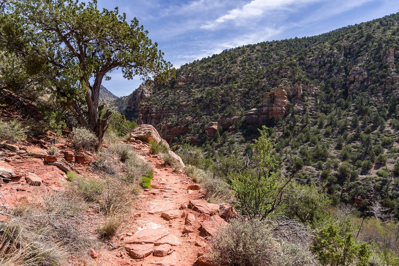
Bell Trail runs roughly 7.72 miles on public land near Rimrock, Arizona, and is signed as trail number 13. The walking surface is native material, so the tread is dirt and rock that can be loose after rain. Grades stay in the 5-8% range, which makes for a gradual climb spread over a long distance. A trail class of 2 puts it in the simply built group: the path is easy to follow, but the route is not paved or heavily marked. The Coconino National Forest holds this ground, through its Red Rock Ranger District. Start early in warm months and bring plenty of water.
Verified Verified
White Mesa Trail runs about 1.18 miles on public land near Rimrock, Arizona, and is signed as trail number 86. Grades stay in the 5-8% range, giving a gentle, steady climb over a modest distance. The surface is native material, so expect dirt and rock underfoot rather than gravel or pavement. Rated trail class 2, the path is simply built and clear to follow, though signs along the way are limited. It sits in the Red Rock Ranger District, part of the Coconino National Forest. The length works well for a short morning outing. Carry water and check for fire restrictions before you drive out.
Verified Verified
Apache Maid Spur Trail is a short path on public land near Rimrock, Arizona. It runs about 0.55 miles and is signed as trail number 15A. The tread is native material, meaning packed dirt and loose rock rather than gravel or pavement. Grades sit in the 5-8% range, so there is steady climbing in spots without long steep pitches. It carries a trail class of 1, the roughest build, so the path can be faint and footing uneven. Upkeep falls to the Red Rock Ranger District of the Coconino National Forest. Carry your own water, watch the weather, and check for fire restrictions before you drive out.
Verified Verified
Long Canyon Trail stretches about 10.89 miles on public land near Rimrock, Arizona, and is signed as trail number 122. Grades run 5-8%, which spreads the climbing out instead of stacking it into short steep pitches. The tread is native material, so expect dirt and rock and some loose footing. Rated trail class 2, the path is simply built and clear to follow, though signs are sparse. It sits in the Red Rock Ranger District, part of the Coconino National Forest. The distance makes this a full outing for most people, so start early, carry enough water, and turn back with daylight to spare.
Verified Verified
Hikers looking for a long day near Rimrock, Arizona can follow Apache Maid Trail, which covers about 8.67 miles. It is signed as trail number 15. Grades fall in the 5-8% range, a steady pull rather than a scramble, and the walking surface is native material, so expect dirt and rock underfoot. A trail class of 2 means the route is built simply: a clear path, but few signs and no paving. The Red Rock Ranger District of the Coconino National Forest looks after it. Plan for sun and heat, carry more water than you think you need, and tell someone when you expect to be back.
Verified Verified
More
All trails in Rimrock → Also in Trails
Apache Maid Spur Trail is a short path on public land near Rimrock, Arizona. It runs about 0.55 miles and is signed as trail number 15A. The tread is native material, meaning packed dirt and loose rock rather than gravel or pavement. Grades sit in the 5-8% range, so there is steady climbing in spots without long steep pitches. It carries a trail class of 1, the roughest build, so the path can be faint and footing uneven. Upkeep falls to the Red Rock Ranger District of the Coconino National Forest. Carry your own water, watch the weather, and check for fire restrictions before you drive out.
Verified Verified
Hikers looking for a long day near Rimrock, Arizona can follow Apache Maid Trail, which covers about 8.67 miles. It is signed as trail number 15. Grades fall in the 5-8% range, a steady pull rather than a scramble, and the walking surface is native material, so expect dirt and rock underfoot. A trail class of 2 means the route is built simply: a clear path, but few signs and no paving. The Red Rock Ranger District of the Coconino National Forest looks after it. Plan for sun and heat, carry more water than you think you need, and tell someone when you expect to be back.
Verified Verified
Coconino National Forest (CC0-1.0) Bell Trail runs roughly 7.72 miles on public land near Rimrock, Arizona, and is signed as trail number 13. The walking surface is native material, so the tread is dirt and rock that can be loose after rain. Grades stay in the 5-8% range, which makes for a gradual climb spread over a long distance. A trail class of 2 puts it in the simply built group: the path is easy to follow, but the route is not paved or heavily marked. The Coconino National Forest holds this ground, through its Red Rock Ranger District. Start early in warm months and bring plenty of water.
Verified Verified