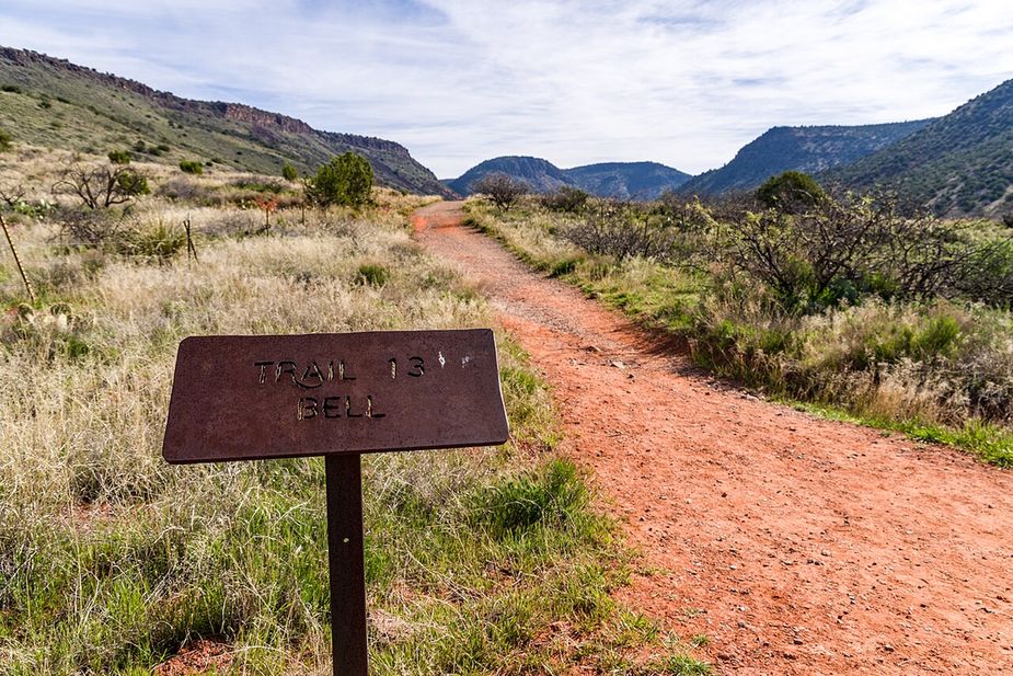

Nearby
Close to Black Grama Loop
Dog Leg Link Trail is a short connector in the Cornville area of Arizona. It runs about 0.51 miles, which is a few minutes of walking for most people. The grade is 0 to 5 percent, so it is close to flat. The tread is native material, meaning dirt and rock instead of pavement. It carries the number 1000C and a trail class of 3. The trail lies in the Red Rock Ranger District of the Coconino National Forest. A link trail joins longer routes, so it works as part of a bigger walk rather than on its own. Check the forest website for closures, and carry your own water.
Verified Verified
Loy Link Trail is a short piece of trail in the Cornville area of Arizona, running about 0.82 miles. The grade is 0 to 5 percent, so it is nearly level the whole way. The surface is native material, which means packed dirt and rock rather than laid gravel or pavement. It carries the number 1004A and a trail class of 3. The Red Rock Ranger District of the Coconino National Forest manages it. Because it is a link, it is most useful joined to a longer walk. Look up conditions and closures on the forest website before driving out, and carry your own water.
Verified Verified

Thursday afternoon market at Windmill Park on Cornville Road, 2 to 6 PM, March through December, rain or shine. No organizer website exists; confirmed from the market's own promotional flyer.
Verified Verified
Creosote Loop is a loop route in the Cornville area of Arizona, running about 1.3 miles. The grade stays between 0 and 5 percent, so it is close to level for its whole length. The tread is native material, meaning packed dirt and rock rather than pavement. It carries the number 1003 and a trail class of 3. The route lies in the Red Rock Ranger District of the Coconino National Forest. Because it loops, it ends where it began, which is handy with one car. Carry your own water, and check the forest website for closures and fire restrictions before you set out.
Verified Verified
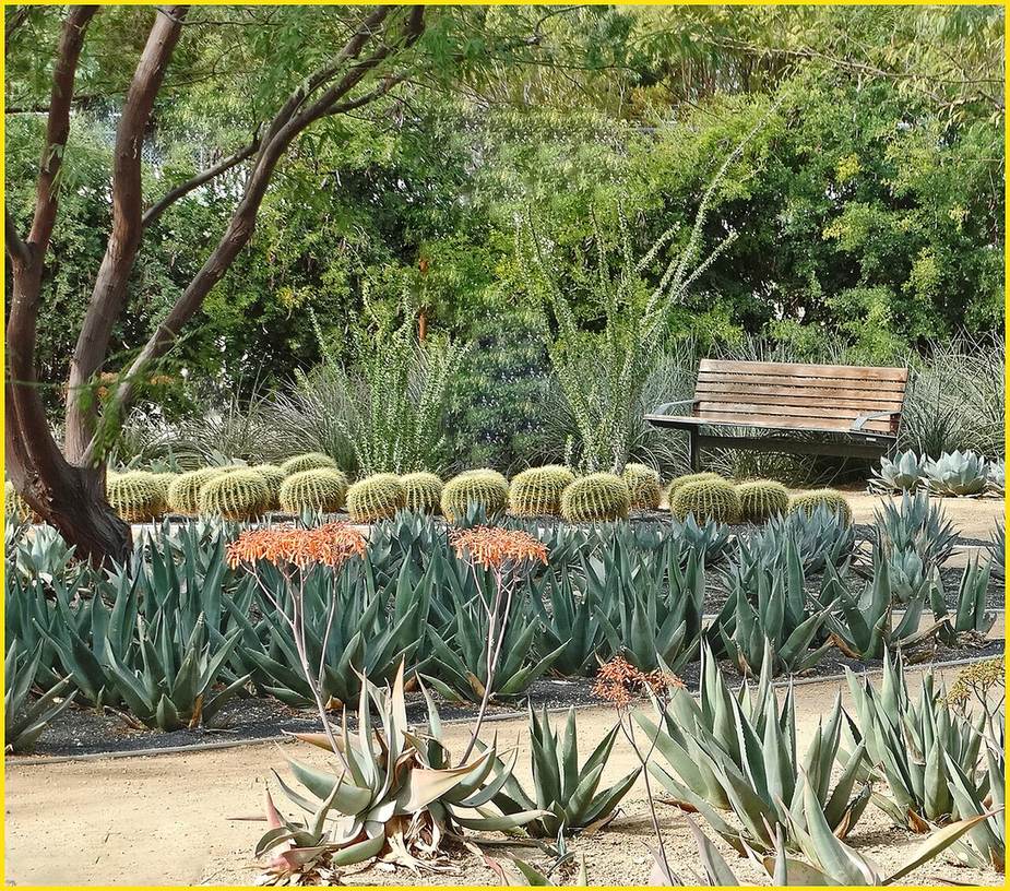
Living Landscapes AZ LLC is at 9350 E Cornville Rd in Cornville. The trade listed is landscaping, and the state license points at the specifics: ROC 330722, class CR-21 for hardscaping and irrigation systems, active when we checked on 20 September 2026. Hours are 8 a.m. to 5 p.m. every day of the week, which is unusual and worth knowing if a weekend visit suits you better. Estimates are free. The service area listed is Cornville and Verde Village. Reach them at (602) 425-9400 or daniel@llazllc.com. Ask what the license class covers before agreeing to work outside it.
VerifiedROC 330722 Verified
More
All trails in Cornville → Also in Trails
Creosote Loop is a loop route in the Cornville area of Arizona, running about 1.3 miles. The grade stays between 0 and 5 percent, so it is close to level for its whole length. The tread is native material, meaning packed dirt and rock rather than pavement. It carries the number 1003 and a trail class of 3. The route lies in the Red Rock Ranger District of the Coconino National Forest. Because it loops, it ends where it began, which is handy with one car. Carry your own water, and check the forest website for closures and fire restrictions before you set out.
Verified Verified
Dog Leg Link Trail is a short connector in the Cornville area of Arizona. It runs about 0.51 miles, which is a few minutes of walking for most people. The grade is 0 to 5 percent, so it is close to flat. The tread is native material, meaning dirt and rock instead of pavement. It carries the number 1000C and a trail class of 3. The trail lies in the Red Rock Ranger District of the Coconino National Forest. A link trail joins longer routes, so it works as part of a bigger walk rather than on its own. Check the forest website for closures, and carry your own water.
Verified Verified
Elmerville Spur M Trail is a short spur in the Cornville area of Arizona. It runs about 1.33 miles and climbs at a grade of 5 to 8 percent, so there is some steady uphill. The tread is native material, so it is dirt and rock underfoot. It carries the number 115M and a trail class of 1. The route lies in the Red Rock Ranger District of the Coconino National Forest. A spur leads off a main route, so look at a map of the wider trail system before you set out. Bring a map you can read without a phone signal, and carry your own water.
Verified Verified