Trails · Sedona

Deadmans Pass Trail

Length
1.18 mi
Surface
Native material
Trail class
2 of 5, moderately developed

About

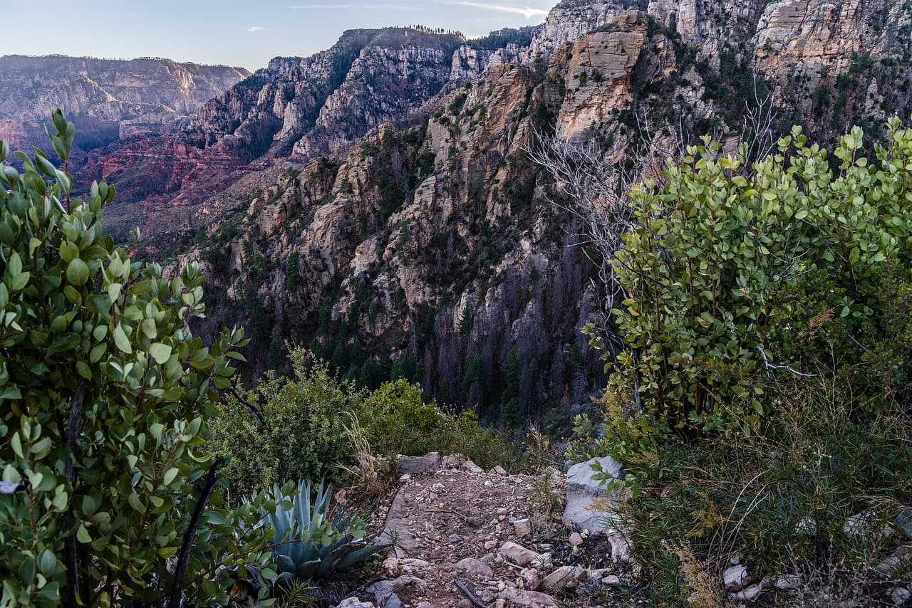
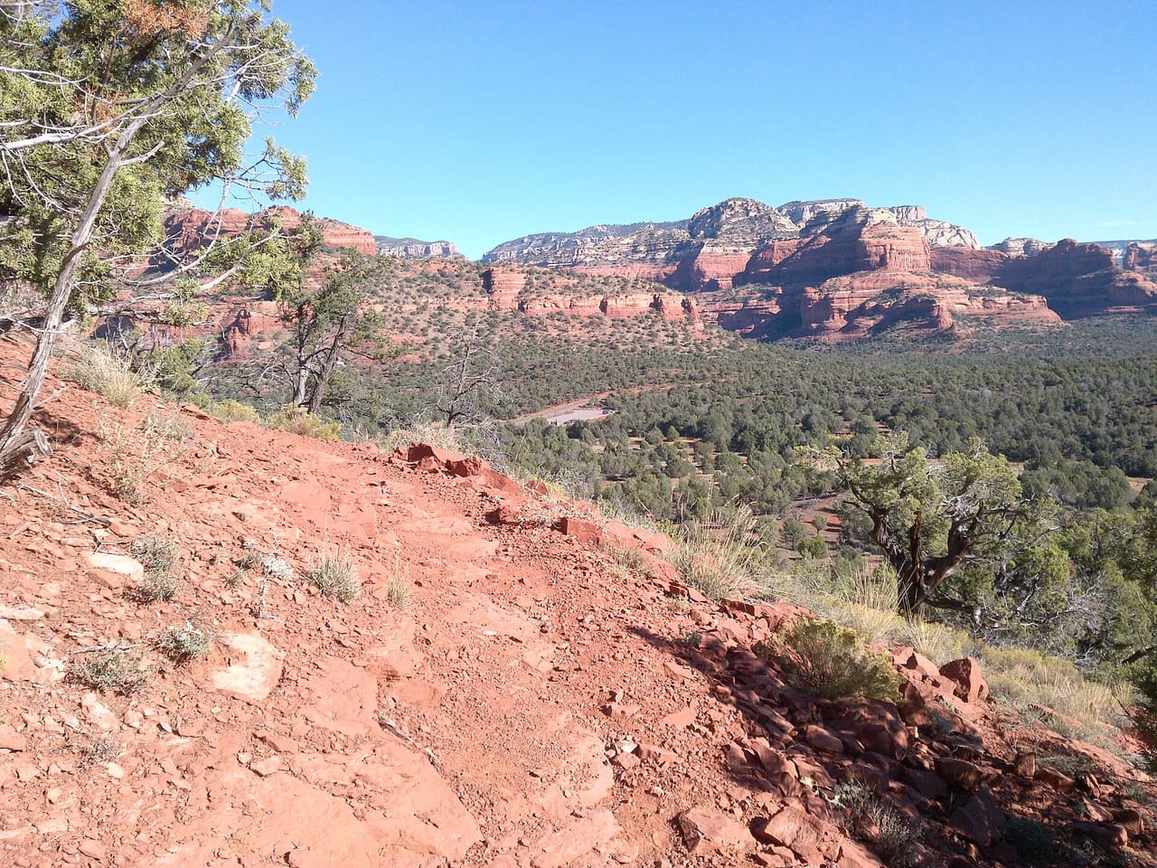
The Red Rock Ranger District keeps up Deadmans Pass Trail, one of many routes on the Coconino National Forest. It measures close to 1.18 miles and carries the number 110. The tread is native material, so expect dirt and rock the whole way. Climbs and descents work out to 5 to 8 percent, and the route is logged at trail class 2. Carry your own water, because there is none to fill up along the way. Storms and snow change conditions fast, so ask the ranger district about closures before you drive out.

Last verified by open-data

0 Was this listing useful?
Reviews

What people say

Loading reviews…
Reader notes

Loading notes…

Nearby

Close to Deadmans Pass Trail

Sedona · Trails · 826 m

Barely a quarter mile long, Boynton Vista Trail covers 0.22 miles in the Red Rock Ranger District of the Coconino National Forest. It is numbered 652 on signs and maps. Grades of 5 to 8 percent keep it easy, and the surface is native material, so dirt and rock rather than anything laid or paved. The trail class 2 rating means a path that is clear enough to follow but not smoothed out. Its length makes it a short add on to a longer walk rather than an outing by itself. Wear shoes with grip and carry water even for a quick trip.

Verified Verified
Mescal Trail, Sedona davidpinter (CC BY 3.0)
Sedona · Trails · 998 m

Mescal Trail is a 2.59 mile route numbered 174C on the Coconino National Forest. Day to day care falls to the Red Rock Ranger District. Native material is the surface here, which is to say plain dirt and stone. Grades of 5 to 8 percent give a sense of how steep the walking gets. The trail class is 2. Shade can be thin, so an early start makes the walk easier in hot months. Pack out everything you carry in, food scraps included. Temperatures swing a lot between morning and afternoon, so dress in layers.

Verified Verified
Sedona · Hotels · 1.2 km

Enchantment Resort sits at 525 Boynton Canyon Road, out past the edge of Sedona, Arizona. Rooms are casitas and suites, including one bedroom, two bedroom and pool suites, with a rental home as well. Che Ah Chi, Tii Gavo and The Market handle the eating, and there is in room dining. Mii amo, a destination spa, is part of the resort, and there is golf at Seven Canyons. The Trail House runs guided hiking, mountain biking, rock climbing, kayaking and Grand Canyon tours. Dogs are welcome and wifi is included. Call (888) 250-1699 to book, and ask what is running in the season you are coming.

VerifiedDog friendly Verified
Sedona · Trails · 1.3 km

Walkers heading out from Sedona, Arizona will find Yucca Trail at 0.38 miles long, in the Red Rock Ranger District of the Coconino National Forest. At 5-8% the climb is gentle, and the tread is dirt and rock left as it lies. It carries the number 174E and is held to class 2 standards. Storm runoff moves dirt around, so the tread may look different from one season to the next. Carry water, wear shoes with grip, and give yourself more time than the distance suggests. For closures, dog rules, or parking questions, the Red Rock Ranger District is the place to ask.

Verified Verified
Sedona · Trails · 1.3 km

Canyon of Fools Trail covers 1.2 miles in the Red Rock Ranger District of the Coconino National Forest. It is signed as trail 174F, a number worth noting because junctions in this area can be confusing. Grades run 5 to 8 percent, so the walking is moderate rather than steep. The tread is native material, dirt and rock with loose patches, and it is rated trail class 2, meaning a path that is clear but never smoothed. It suits an hour or two outdoors and links with other routes nearby. Carry water and check conditions before you set out.

Verified Verified
More

Also in Trails

All trails in Sedona →
A B Young Trail, Sedona Coconino National Forest (CC0-1.0)
Sedona · Trails

A B Young Trail covers 2.09 miles near Sedona, in the Red Rock Ranger District of Coconino National Forest. It is trail number 100. The typical grade is 10 to 12 percent, which is steep enough that the mileage understates the effort, and the surface is native material. It is a class 2 trail. The allowed uses are not posted, so ask before you ride. This is a well known climb and it can be busy, so an early start helps with both parking and heat. Trailhead parking details are not posted, and parking rules around Sedona change, so check before you drive out.

Verified Verified
Sedona · Trails

Adobe Jack Trail is a 2.1 mile path in the Coconino National Forest near Sedona, Arizona. The Red Rock Ranger District takes care of it. The tread is native material, so you walk on packed dirt and rock rather than pavement. Grades run about 8 to 10 percent, which means steady short climbs rather than flat walking. It is listed as trail number 660 and rated trail class 2, a simple developed path with no pavement and no railings. Wear shoes with grip, carry more water than you think you need, and check the district for closures before you drive out to the trailhead.

Verified Verified
Aerie Trail, Sedona davidpinter (CC BY 3.0)
Sedona · Trails

Aerie Trail runs 2.75 miles over native dirt and rock in the Coconino National Forest outside Sedona. Grades sit between 5 and 8 percent, so the climbing is gentle and steady rather than steep. It is listed as trail number 168 and rated trail class 2, which means a developed path with a clear tread but no pavement and no railings. The Red Rock Ranger District manages it. Shade is thin on most trails in this country, so carry more water than you think you need, start early in warm months, and check for closures before you drive to the trailhead.

Verified Verified