Trails · Rimrock

Walker Basin Trail

Length
6.91 mi
Surface
Native material
Trail class
2 of 5, moderately developed

About

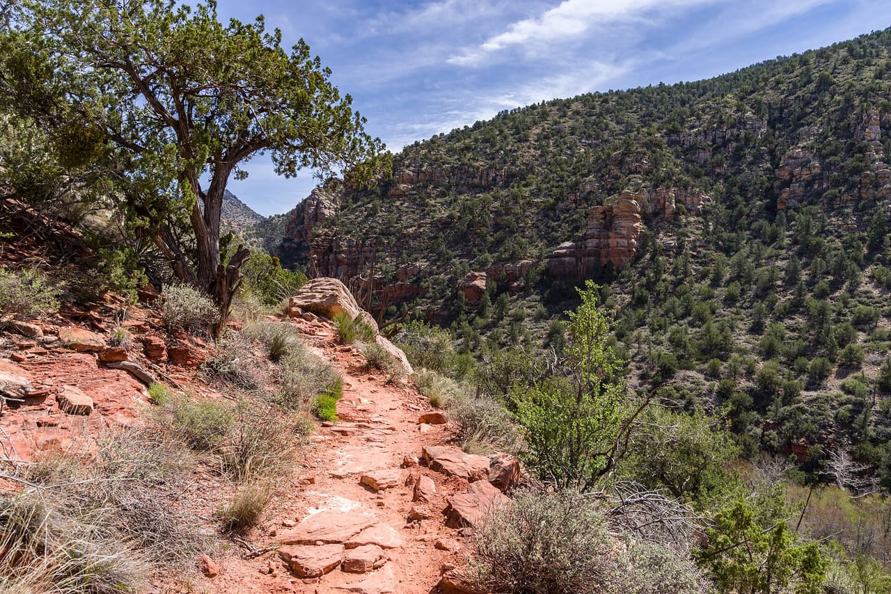
Walker Basin Trail covers about 6.91 miles on public land near Rimrock, Arizona, signed as trail number 81. Grades in the 5-8% range make the climbing steady rather than sudden. The tread is native material, so you walk on dirt and rock that can shift underfoot. With a trail class of 2, the path is simply built: easy enough to follow, but without paving or many signs. The Red Rock Ranger District of the Coconino National Forest manages the route. Treat it as a half day or longer, carry water for the whole distance, and leave word of your plan before you go.

Last verified by open-data

0 Was this listing useful?
Reviews

What people say

Loading reviews…
Reader notes

Loading notes…

Nearby

Close to Walker Basin Trail

Rimrock · Trails · 5.0 km

Short and steady, Sacred Mountain Trail runs about 0.4 miles near Rimrock, Arizona. It is signed as trail number 83. Grades of 5-8% give a modest climb over that short distance, and the surface is native material, so the footing is dirt and rock. A trail class of 1 means the route is rough and only lightly built, so the path may fade in places and ankles get a workout. The Coconino National Forest holds this ground, through its Red Rock Ranger District. Sturdy shoes help. Carry water even on a quick outing, and check the weather and any fire restrictions first.

Verified Verified
Rimrock · Trails · 5.4 km

Elmore Wash Trail covers about 1.99 miles on public land near Rimrock, Arizona. It is signed as trail number 1006B. Grades run 0-5%, which keeps the walking close to flat and makes this a reasonable choice for a relaxed outing or a family walk. A trail class of 3 marks it as one of the more developed routes nearby, generally wider and simpler to follow than the rough paths in the area. The Coconino National Forest holds this ground, through its Red Rock Ranger District. Carry water, wear shoes you do not mind getting dusty, and check the weather before you set out.

Verified Verified
Bell Trail, Rimrock Coconino National Forest (CC0-1.0)
Rimrock · Trails · 5.5 km

Bell Trail runs roughly 7.72 miles on public land near Rimrock, Arizona, and is signed as trail number 13. The walking surface is native material, so the tread is dirt and rock that can be loose after rain. Grades stay in the 5-8% range, which makes for a gradual climb spread over a long distance. A trail class of 2 puts it in the simply built group: the path is easy to follow, but the route is not paved or heavily marked. The Coconino National Forest holds this ground, through its Red Rock Ranger District. Start early in warm months and bring plenty of water.

Verified Verified
Rimrock · Trails · 5.6 km

Weir Trail is a brief walk near Rimrock, Arizona, running about 0.5 miles. It is signed as trail number 85. Grades sit in the 5-8% range, so there is a light rise along the way, and the surface is native material, which means dirt and rock rather than a smooth path. A trail class of 2 marks it as simply built and clear to follow without being paved or heavily signed. This is Red Rock Ranger District land, on the Coconino National Forest. The short distance suits a quick trip outdoors. Still bring water, and check for closures or fire limits first.

Verified Verified
Rimrock · Trails · 5.9 km

Crane Trail is 0.37 miles near Rimrock, in the Red Rock Ranger District of Coconino National Forest, as trail number 94. Its surface is imported compacted material rather than native material, and its trail class is 4, the most developed class anywhere listed here. Taken together those usually mean a firm, well built tread rather than rough ground. The typical grade is 5 to 8 percent. The allowed uses are not posted, so ask before you ride. Short and firm underfoot makes this one of the more approachable trails in the set, but check the district for current conditions first.

Verified Verified
More

Also in Trails

All trails in Rimrock →
Rimrock · Trails

Apache Maid Spur Trail is a short path on public land near Rimrock, Arizona. It runs about 0.55 miles and is signed as trail number 15A. The tread is native material, meaning packed dirt and loose rock rather than gravel or pavement. Grades sit in the 5-8% range, so there is steady climbing in spots without long steep pitches. It carries a trail class of 1, the roughest build, so the path can be faint and footing uneven. Upkeep falls to the Red Rock Ranger District of the Coconino National Forest. Carry your own water, watch the weather, and check for fire restrictions before you drive out.

Verified Verified
Rimrock · Trails

Hikers looking for a long day near Rimrock, Arizona can follow Apache Maid Trail, which covers about 8.67 miles. It is signed as trail number 15. Grades fall in the 5-8% range, a steady pull rather than a scramble, and the walking surface is native material, so expect dirt and rock underfoot. A trail class of 2 means the route is built simply: a clear path, but few signs and no paving. The Red Rock Ranger District of the Coconino National Forest looks after it. Plan for sun and heat, carry more water than you think you need, and tell someone when you expect to be back.

Verified Verified
Bell Trail, Rimrock Coconino National Forest (CC0-1.0)
Rimrock · Trails

Bell Trail runs roughly 7.72 miles on public land near Rimrock, Arizona, and is signed as trail number 13. The walking surface is native material, so the tread is dirt and rock that can be loose after rain. Grades stay in the 5-8% range, which makes for a gradual climb spread over a long distance. A trail class of 2 puts it in the simply built group: the path is easy to follow, but the route is not paved or heavily marked. The Coconino National Forest holds this ground, through its Red Rock Ranger District. Start early in warm months and bring plenty of water.

Verified Verified