Trails · Sedona

Brewer Trail

Length
0.77 mi
Surface
Native material
Trail class
2 of 5, moderately developed

About

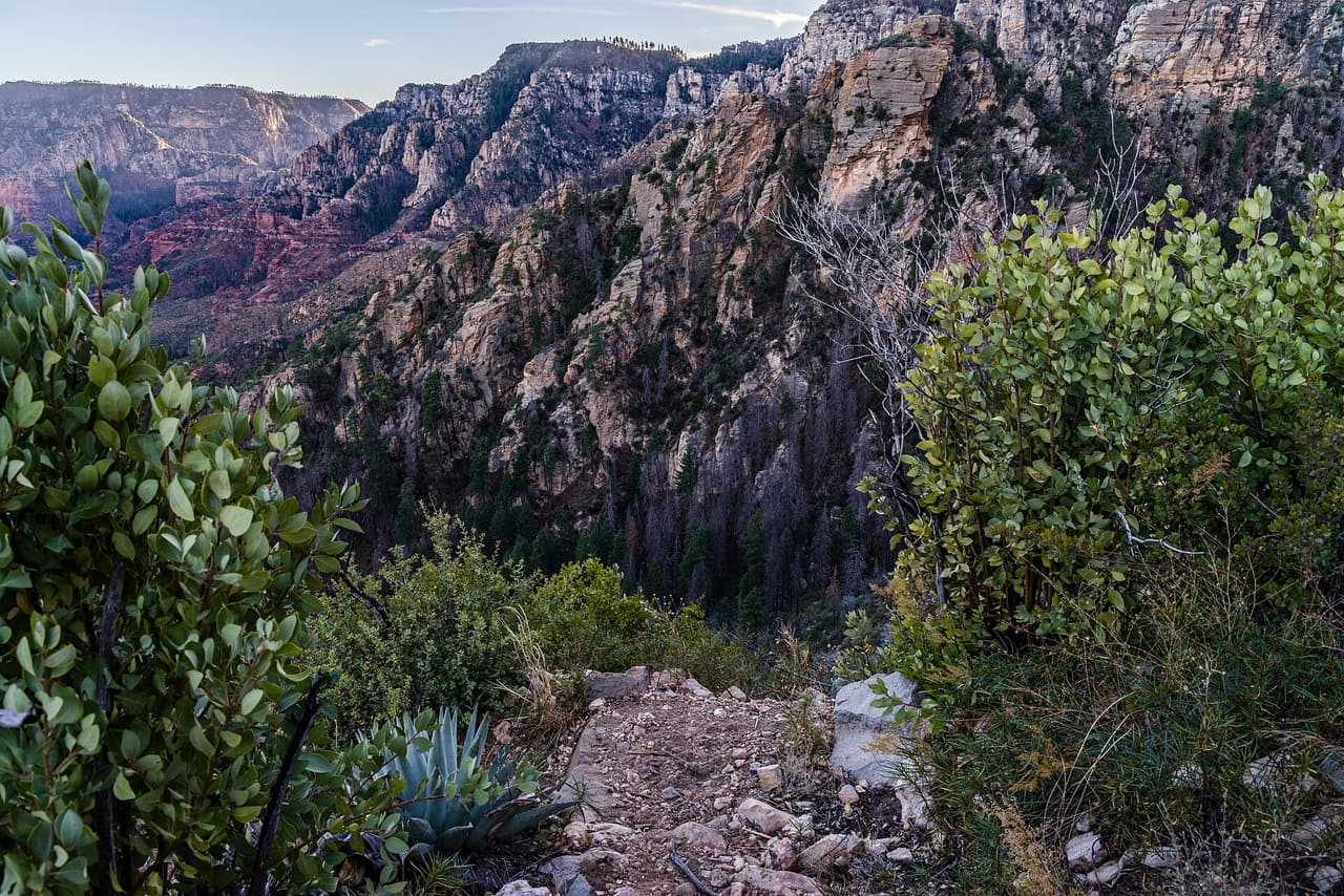
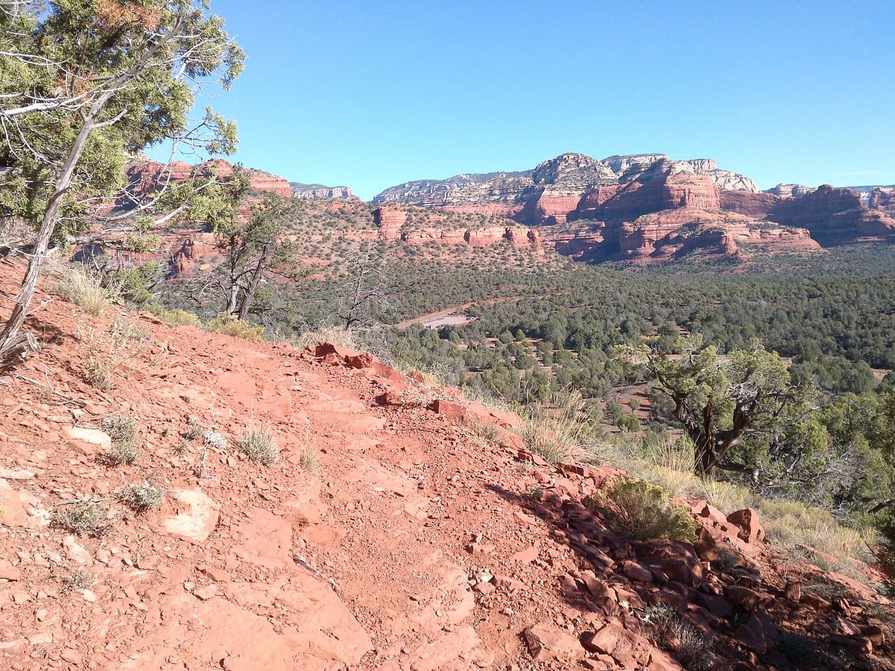
Brewer Trail is 0.77 miles long and lies in the Red Rock Ranger District of the Coconino National Forest. It carries the number 212 where it is signed. Grades between 5 and 8 percent make it an easy walk by local standards, and the tread is native material, so expect packed dirt and rock rather than gravel or pavement. The trail class 2 rating describes a route that is clear to follow but not built up. Short trails like this one are often used to connect longer routes into a loop. Check conditions after rain, and carry water whatever the distance.

Last verified by open-data

0 Was this listing useful?
Reviews

What people say

Loading reviews…
Reader notes

Loading notes…

Nearby

Close to Brewer Trail

Sedona · Trails · 353 m

Coconino Loop is 0.14 miles near Sedona, in the Red Rock Ranger District of Coconino National Forest, as trail number 126. It is called a loop, but at a seventh of a mile it is a very short one: the sort of link that closes a junction rather than a walk you would drive out for. The typical grade is 5 to 8 percent, the surface is native material, and the trail class is 2. The allowed uses are not posted for this one, so ask before you ride. Look at it on a map with the trails it joins.

Verified Verified
Sedona View Trail, Sedona inkknife_2000 (7.5 million views +) (CC BY-SA 2.0)
Sedona · Trails · 817 m

Walkers heading out from Sedona, Arizona will find Sedona View Trail at 0.7 miles long, in the Red Rock Ranger District of the Coconino National Forest. The tread is dirt and rock left in place, and grades of 10-12% mean the miles tilt uphill in places. It carries the number 169 and is held to class 3 standards. Storm runoff moves dirt around, so the tread may look different from one season to the next. Carry water, wear shoes with grip, and give yourself more time than the distance suggests. For closures, dog rules, or parking questions, the Red Rock Ranger District is the place to ask.

Verified Verified
Sedona · Hotels · 1.0 km

A hotel at 1200 West Highway 89A in Sedona, part of the Tribute Portfolio group. Wireless internet is provided for guests. Booking runs through the group's own system, so rates, loyalty points and cancellation terms follow the chain's rules rather than a local desk policy. The location on the western highway makes arriving and leaving by car simple, with town a short drive away. Call (928) 282-3072 to check dates, ask what room types are free and confirm what the nightly rate covers. Ask about parking, any resort charge and the cancellation window at the same time.

Verified Verified
Sedona · Hotels · 1.0 km

Los Abrigados Resort and Spa is a resort at 160 Portal Lane in Sedona. The map data lists the operator as Diamond Resorts Internatinal, and that spelling is wrong in the source record, so read it as the company name with a typo in it. We do not have a phone number for the property, which is the main gap here, and we also do not have room counts, rates, spa hours, or what the spa offers. Look the property up directly to book. We will add a phone number once we can confirm one from the business itself.

Verified Verified
Sedona · Churches · 1.1 km

St John Vianney Catholic Church is a place of worship at 180 Saint John Vianney Lane, Sedona, AZ 86336. The phone number is (928) 282-7545. Map records list the religion as christian and the denomination as catholic. That is the full record, so a few common questions are not answered here. We do not have mass times, an office schedule, a website, or a note about parking or wheelchair access. If you are planning to attend, call the number and ask for the current schedule, since service times shift with the season and with holidays. Staff corrections are welcome, and we will add hours as soon as we can confirm them.

Verified Verified
More

Also in Trails

All trails in Sedona →
A B Young Trail, Sedona Coconino National Forest (CC0-1.0)
Sedona · Trails

A B Young Trail covers 2.09 miles near Sedona, in the Red Rock Ranger District of Coconino National Forest. It is trail number 100. The typical grade is 10 to 12 percent, which is steep enough that the mileage understates the effort, and the surface is native material. It is a class 2 trail. The allowed uses are not posted, so ask before you ride. This is a well known climb and it can be busy, so an early start helps with both parking and heat. Trailhead parking details are not posted, and parking rules around Sedona change, so check before you drive out.

Verified Verified
Sedona · Trails

Adobe Jack Trail is a 2.1 mile path in the Coconino National Forest near Sedona, Arizona. The Red Rock Ranger District takes care of it. The tread is native material, so you walk on packed dirt and rock rather than pavement. Grades run about 8 to 10 percent, which means steady short climbs rather than flat walking. It is listed as trail number 660 and rated trail class 2, a simple developed path with no pavement and no railings. Wear shoes with grip, carry more water than you think you need, and check the district for closures before you drive out to the trailhead.

Verified Verified
Aerie Trail, Sedona davidpinter (CC BY 3.0)
Sedona · Trails

Aerie Trail runs 2.75 miles over native dirt and rock in the Coconino National Forest outside Sedona. Grades sit between 5 and 8 percent, so the climbing is gentle and steady rather than steep. It is listed as trail number 168 and rated trail class 2, which means a developed path with a clear tread but no pavement and no railings. The Red Rock Ranger District manages it. Shade is thin on most trails in this country, so carry more water than you think you need, start early in warm months, and check for closures before you drive to the trailhead.

Verified Verified