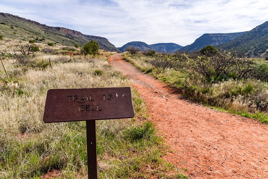

Nearby
Close to Chimney Rock Pass Trail
Walkers heading out from Sedona, Arizona will find Summit Route at 0.2 miles long, in the Red Rock Ranger District of the Coconino National Forest. The path rises at 5-8%, steady rather than steep, over dirt and rock. It carries the number 165C and is held to class 2 standards. Storm runoff moves dirt around, so the tread may look different from one season to the next. Carry water, wear shoes with grip, and give yourself more time than the distance suggests. For closures, dog rules, or parking questions, the Red Rock Ranger District is the place to ask.
Verified Verified
At 0.19 miles, Andante West Trail is a connector more than a destination. It lies in the Red Rock Ranger District of the Coconino National Forest and is numbered 165D on signs and maps. The tread is native material, left as dirt and rock, and grades stay between 5 and 8 percent, so the walking is easy. It is rated trail class 2, meaning a path that is clear but unimproved. Most people use it to link two longer routes rather than walk it on its own, which makes it worth knowing when you are planning a loop. Check conditions before heading out after storms.
Verified Verified
Lower Chimney Rock Trail is 1.19 miles near Sedona, in the Red Rock Ranger District of Coconino National Forest, as trail number 165A. It is one of the lettered trails off the number 165, and the word lower usually means the bottom section of a longer climb. The typical grade is 5 to 8 percent, moderate, and the surface is native material. The recorded trail class is 2. The allowed uses are not posted for this one, so ask before you ride. Check the map for how it links before you plan it alone.
Verified Verified
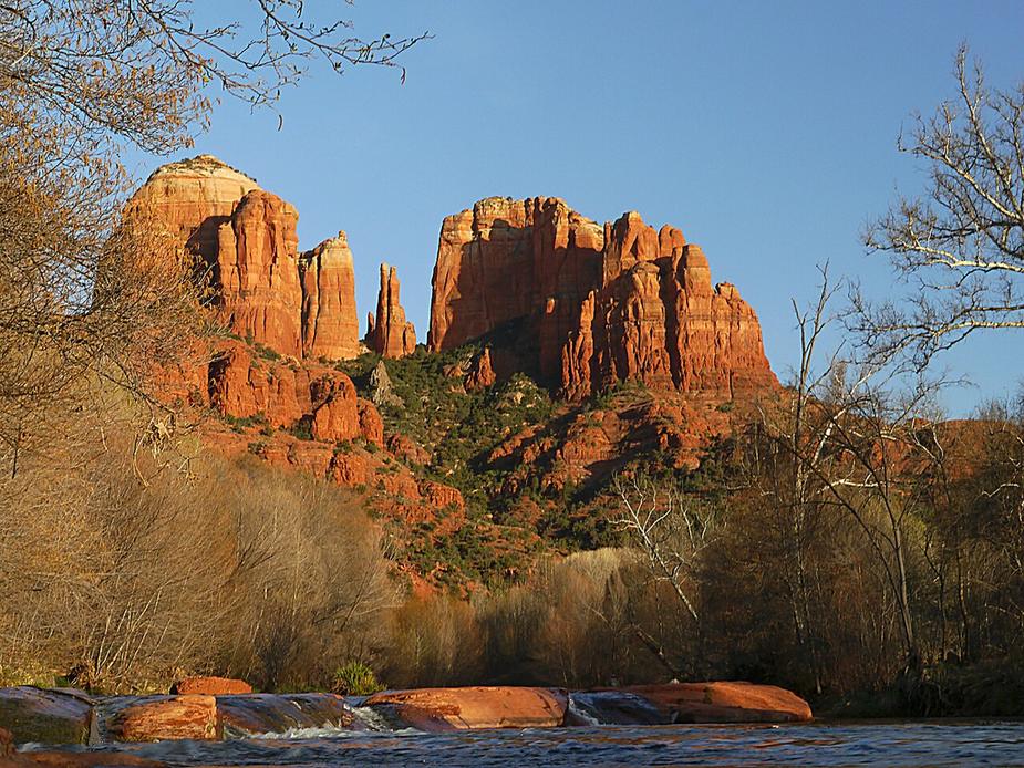
Amitabha Stupa is a place of worship in the Sedona, Arizona area. Map records list the religion as buddhist and the denomination as tibetan. That is all that is posted here, and it is thin for a site people travel to visit. We do not have a street address, a phone number, hours, parking notes, a trail description, or a website on file. We also cannot say from this record whether it is open to visitors, what is expected of them, or who cares for the site. Until we can confirm those things from a primary source, treat this page as a pointer and check locally before you go.
Verified Verified
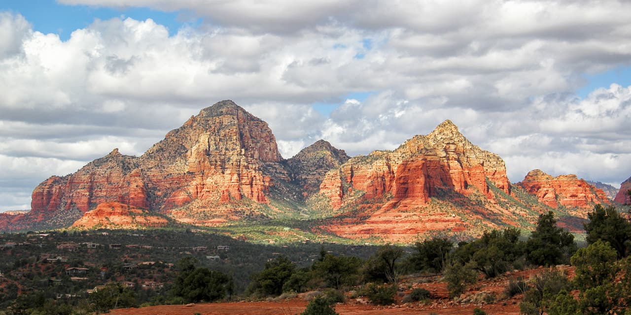 Eric Johnson (CC BY-SA 3.0)
Thunder Mountain Trail is 3.8 miles near Sedona, in the Red Rock Ranger District of Coconino National Forest, as trail number 165. The typical grade is 5 to 8 percent, moderate across nearly four miles, and the surface is native material. The trail class is 3, which usually means a clear and well defined tread. The allowed uses are not posted, so ask before you ride. Several short lettered trails branch off this number, so the map is worth studying if you want a loop rather than an out and back.
Verified Verified
More
All trails in Sedona → Also in Trails
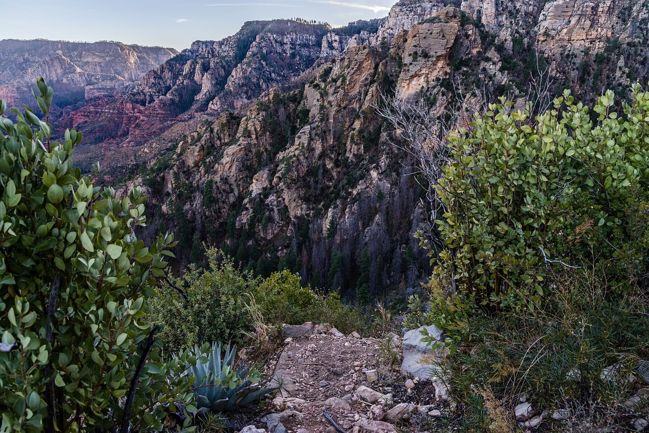 Coconino National Forest (CC0-1.0)
A B Young Trail covers 2.09 miles near Sedona, in the Red Rock Ranger District of Coconino National Forest. It is trail number 100. The typical grade is 10 to 12 percent, which is steep enough that the mileage understates the effort, and the surface is native material. It is a class 2 trail. The allowed uses are not posted, so ask before you ride. This is a well known climb and it can be busy, so an early start helps with both parking and heat. Trailhead parking details are not posted, and parking rules around Sedona change, so check before you drive out.
Verified Verified
Adobe Jack Trail is a 2.1 mile path in the Coconino National Forest near Sedona, Arizona. The Red Rock Ranger District takes care of it. The tread is native material, so you walk on packed dirt and rock rather than pavement. Grades run about 8 to 10 percent, which means steady short climbs rather than flat walking. It is listed as trail number 660 and rated trail class 2, a simple developed path with no pavement and no railings. Wear shoes with grip, carry more water than you think you need, and check the district for closures before you drive out to the trailhead.
Verified Verified
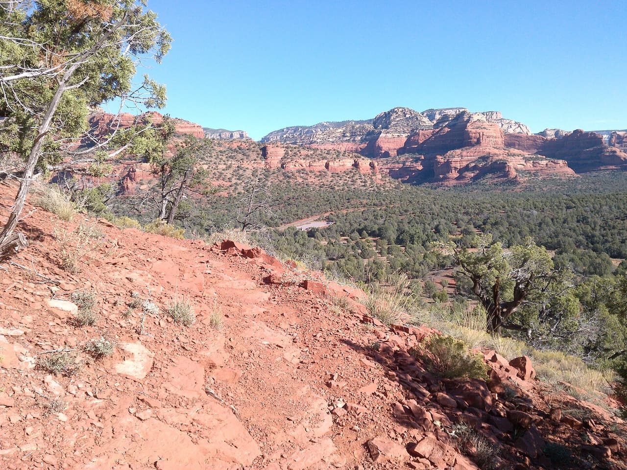 davidpinter (CC BY 3.0)
Aerie Trail runs 2.75 miles over native dirt and rock in the Coconino National Forest outside Sedona. Grades sit between 5 and 8 percent, so the climbing is gentle and steady rather than steep. It is listed as trail number 168 and rated trail class 2, which means a developed path with a clear tread but no pavement and no railings. The Red Rock Ranger District manages it. Shade is thin on most trails in this country, so carry more water than you think you need, start early in warm months, and check for closures before you drive to the trailhead.
Verified Verified