
Nearby
Close to Sedona View Trail
Coconino Loop is 0.14 miles near Sedona, in the Red Rock Ranger District of Coconino National Forest, as trail number 126. It is called a loop, but at a seventh of a mile it is a very short one: the sort of link that closes a junction rather than a walk you would drive out for. The typical grade is 5 to 8 percent, the surface is native material, and the trail class is 2. The allowed uses are not posted for this one, so ask before you ride. Look at it on a map with the trails it joins.
Verified Verified


A lodge at 1105 Airport Road, up on the ridge above Sedona rather than on the main highway, which means a short drive to town and long views from the property. Family owned, it keeps gardens on the grounds and hosts weddings and events alongside regular guests. Dogs are welcome, so confirm the pet rules and any fee when you book. There is a dining option on site, and staff keep a guide to local activities for guests. Call (928) 282-6400 or email info@skyranchlodge.com to check dates, compare room types and ask what is included in the rate.
VerifiedDog friendly Verified
 ksblack99 (public-domain)
A loop of 3.22 miles on native dirt and rock, numbered 210 and rated trail class 2 by the Coconino National Forest. Airport Loop has grades between 5 and 8 percent, so it rolls rather than climbs hard, and a loop means you finish where you parked. The Red Rock Ranger District manages the trail. Footing is loose in places on this kind of surface, so shoes with grip help more than anything else. Carry water even for a short walk, since there is none on the trail, and check the district for closures before you set out.
Verified Verified
Brewer Trail is 0.77 miles long and lies in the Red Rock Ranger District of the Coconino National Forest. It carries the number 212 where it is signed. Grades between 5 and 8 percent make it an easy walk by local standards, and the tread is native material, so expect packed dirt and rock rather than gravel or pavement. The trail class 2 rating describes a route that is clear to follow but not built up. Short trails like this one are often used to connect longer routes into a loop. Check conditions after rain, and carry water whatever the distance.
Verified Verified
More
All trails in Sedona → Also in Trails
 Coconino National Forest (CC0-1.0)
A B Young Trail covers 2.09 miles near Sedona, in the Red Rock Ranger District of Coconino National Forest. It is trail number 100. The typical grade is 10 to 12 percent, which is steep enough that the mileage understates the effort, and the surface is native material. It is a class 2 trail. The allowed uses are not posted, so ask before you ride. This is a well known climb and it can be busy, so an early start helps with both parking and heat. Trailhead parking details are not posted, and parking rules around Sedona change, so check before you drive out.
Verified Verified
Adobe Jack Trail is a 2.1 mile path in the Coconino National Forest near Sedona, Arizona. The Red Rock Ranger District takes care of it. The tread is native material, so you walk on packed dirt and rock rather than pavement. Grades run about 8 to 10 percent, which means steady short climbs rather than flat walking. It is listed as trail number 660 and rated trail class 2, a simple developed path with no pavement and no railings. Wear shoes with grip, carry more water than you think you need, and check the district for closures before you drive out to the trailhead.
Verified Verified
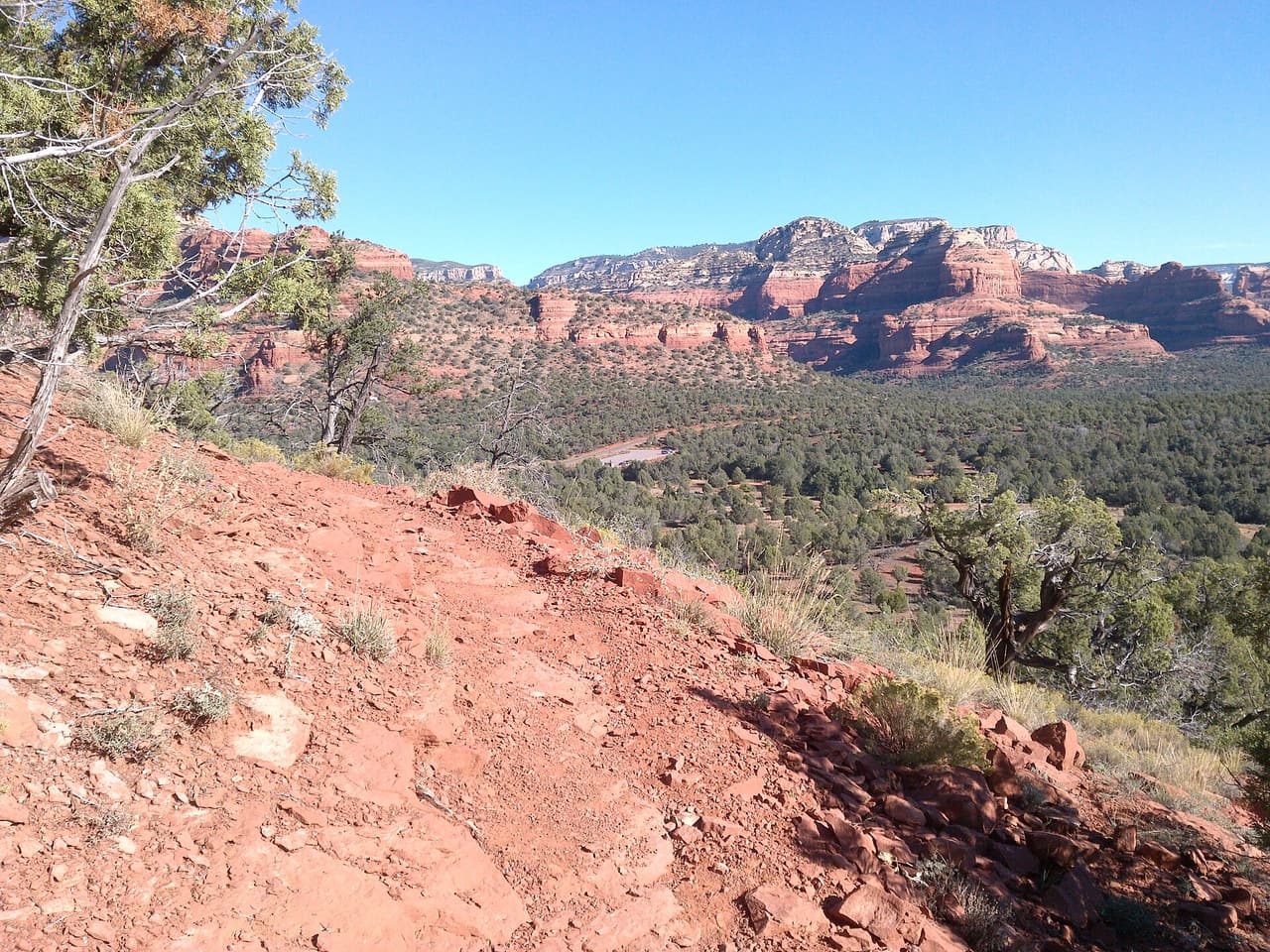 davidpinter (CC BY 3.0)
Aerie Trail runs 2.75 miles over native dirt and rock in the Coconino National Forest outside Sedona. Grades sit between 5 and 8 percent, so the climbing is gentle and steady rather than steep. It is listed as trail number 168 and rated trail class 2, which means a developed path with a clear tread but no pavement and no railings. The Red Rock Ranger District manages it. Shade is thin on most trails in this country, so carry more water than you think you need, start early in warm months, and check for closures before you drive to the trailhead.
Verified Verified