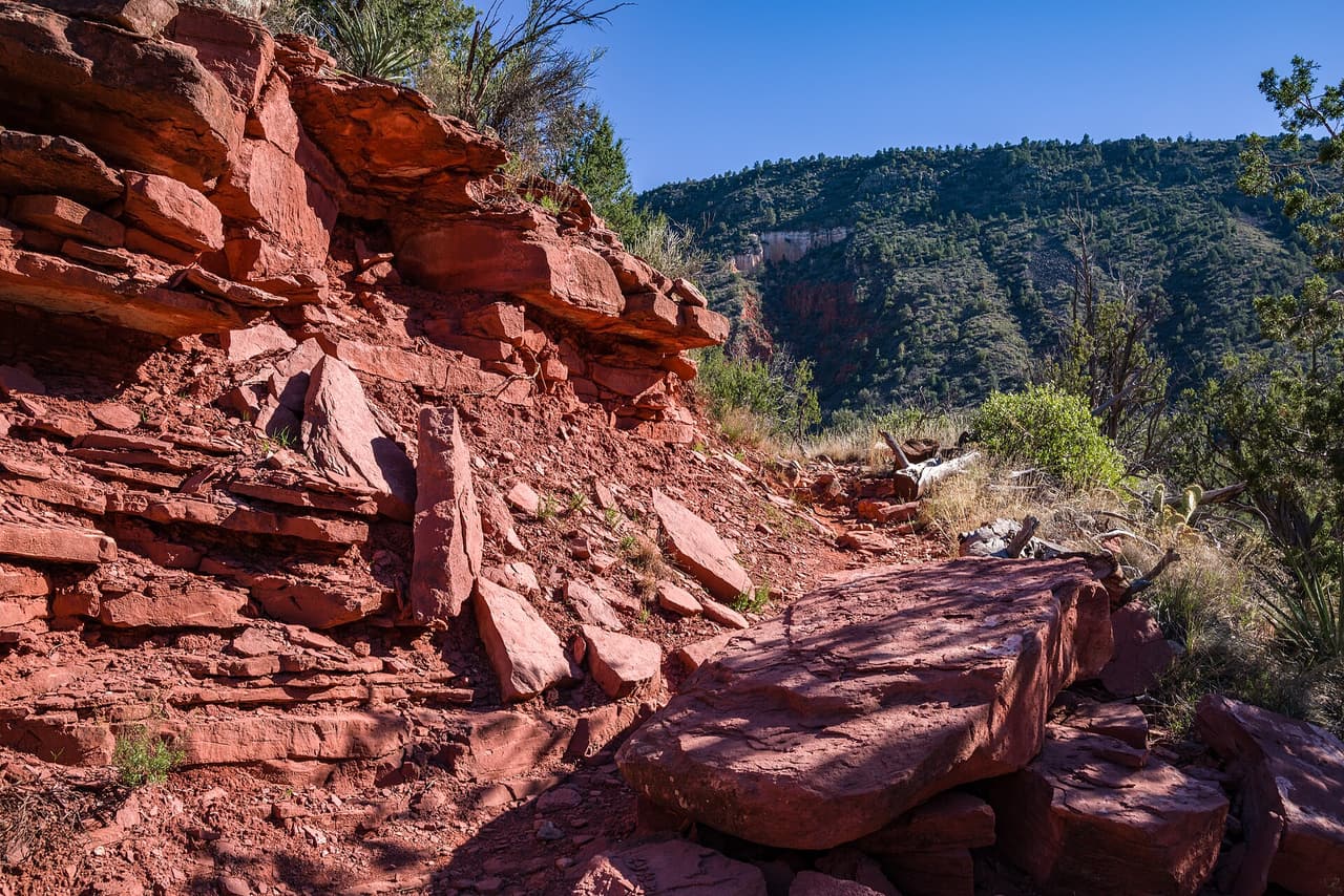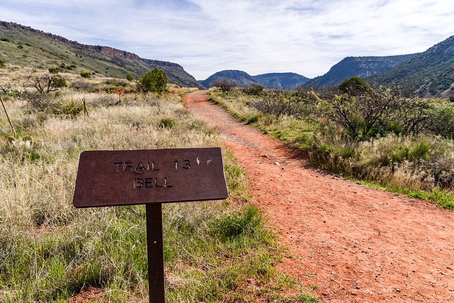
A red dirt hiking trail through grass toward the hillsPhoto: Coconino National Forest (CC0) · Wikimedia Commons

Outdoors · Village of Oak Creek

Trails in Village of Oak Creek

We list 44 trails around the Village of Oak Creek, about 89 miles in all. They all come from the U.S. Forest Service’s own trail records, and all 44 are in the Red Rock Ranger District of the Coconino National Forest.

How long they run: 20 are under a mile, and the middle of the list is about a mile and a half. Four run longer than five miles. Each listing gives the Forest Service’s length for that one trail, so add up the pieces if you plan a loop.

What is underfoot: 40 are dirt and rock. The other four are surfaced with material brought in and packed down.

Getting to a trailhead: this is where the village is easier than Sedona. The trailheads along SR 179, including Bell Rock and Courthouse Butte, have no shuttle rule, so you can drive to them on any day. You still need a Red Rock Pass to park there. If you live in Cottonwood, Clarkdale or Camp Verde, these are the closer red rock trailheads. Our trailhead parking and shuttle guide has the lot-by-lot detail, and our trail closures guide lists what is shut right now.

We don’t rate trails as easy or hard. The Forest Service doesn’t publish that for these trails.

Is a trail here closed, or listed wrong? Use the correct or remove link on its page.

Last verified

Sources

45 places on the map.

Open in Maps© OpenStreetMap contributors, Protomaps
Trails

Agave Trail runs about 0.11 miles through the red rock country around the Village of Oak Creek, Arizona. The grade is listed at 5-8%, so there is some climbing but nothing sustained for long. Walkers cross native material. It is signed as trail number 173B and rated trail class 3. The Red Rock Ranger District of the Coconino National Forest takes care of it. Check current conditions before you go, because weather, fire, or repair work can close a route. Carry water and tell someone where you plan to walk.

Verified Verified

Trails

Baby Bell Spur Trail is 0.32 miles near Village of Oak Creek, in the Red Rock Ranger District of Coconino National Forest. It is trail number 655A. It is a spur, which means it branches off a longer trail and ends rather than looping. The typical grade is 0 to 5 percent, close to flat, and the surface is native material. It is a class 3 trail. The permitted uses are not posted here. Short and flat makes this a reasonable add on at the end of a longer walk, or a way to reach a junction without much climbing.

Verified Verified
Trails

Trail number 655 carries the name Baby Bell Trail. It covers about 0.28 miles on public land near the Village of Oak Creek, Arizona. The route is built on imported compacted material and is rated trail class 2. Grade on the path is given as 5-8%. Care of the trail falls to the Red Rock Ranger District of the Coconino National Forest. Plan a turnaround time, and turn back early if the light or the weather changes. Check current conditions before you go, because weather, fire, or repair work can close a route.

Verified Verified
Trails

About 0.35 miles long, Bail Trail sits on Coconino National Forest land near the Village of Oak Creek, Arizona. The Red Rock Ranger District keeps it up. Look for the number 656 where routes meet. The path is made of imported compacted material, rated trail class 2, and rises at a grade of 5-8%. Carry water and tell someone where you plan to walk. Wear shoes with good grip and give yourself time to get back. Match the trail number to the signs at junctions so you stay on the route you meant to take.

Verified Verified
Trails

Near the Village of Oak Creek, Arizona, Baldwin Trail covers about 2.52 miles. Grade is 5-8% and the walking surface is native material. The route holds a trail class 3 rating and is numbered 191. It lies in the Coconino National Forest, in the Red Rock Ranger District. Match the trail number to the signs at junctions so you stay on the route you meant to take. Read the rules posted at the trailhead, since not every route is open to bikes, horses, or dogs. Park only in marked spaces and pack out everything you bring in.

Verified Verified
Trails

Trail number 657 carries the name Bell Rock Loop Extension. It covers about 0.15 miles on public land near the Village of Oak Creek, Arizona. The route is built on native material and is rated trail class 4. Grade on the path is given as 5-8%. Care of the trail falls to the Red Rock Ranger District of the Coconino National Forest. Park only in marked spaces and pack out everything you bring in. Phone service is not reliable on forest land, so save a map before you leave town.

Verified Verified
Bell Rock Pathway, Village of Oak Creek Brady Smith; Coconino National Forest (CC BY-SA 2.0)
Trails

About 3.58 miles long, Bell Rock Pathway sits on Coconino National Forest land near the Village of Oak Creek, Arizona. The Red Rock Ranger District keeps it up. Look for the number 96 where routes meet. The path is made of imported compacted material, rated trail class 4, and rises at a grade of 5-8%. Plan a turnaround time, and turn back early if the light or the weather changes. Check current conditions before you go, because weather, fire, or repair work can close a route.

Verified Verified
Bell Rock Trail, Village of Oak Creek Brady Smith; Coconino National Forest (CC BY-SA 2.0)
Trails

Near the Village of Oak Creek, Arizona, Bell Rock Trail covers about 0.41 miles. Grade is 12-20% and the walking surface is native material. The route holds a trail class 2 rating and is numbered 214. It lies in the Coconino National Forest, in the Red Rock Ranger District. Carry water and tell someone where you plan to walk. Wear shoes with good grip and give yourself time to get back. Match the trail number to the signs at junctions so you stay on the route you meant to take.

Verified Verified
Trails

Trail number 135A carries the name Big Park Loop. It covers about 1.54 miles on public land near the Village of Oak Creek, Arizona. The route is built on native material and is rated trail class 3. Grade on the path is given as 5-8%. Care of the trail falls to the Red Rock Ranger District of the Coconino National Forest. Match the trail number to the signs at junctions so you stay on the route you meant to take. Read the rules posted at the trailhead, since not every route is open to bikes, horses, or dogs.

Verified Verified
Cathedral Rock Trail, Village of Oak Creek Coconino NF Photography (CC0-1.0)
Trails

Cathedral Rock Trail is 0.53 miles near Village of Oak Creek, in the Red Rock Ranger District of Coconino National Forest, as trail number 170. Its typical grade is 40 to 50 percent, by a wide margin the steepest figure anywhere listed here. Read that before the mileage: half a mile at that pitch is a scramble, not a walk, and it is the reason people describe this one as hard despite the short distance. It is class 2, on native material. The permitted uses are not posted here. Parking here fills early.

Verified Verified
Trails

Chaves Trail runs 8.47 miles near Village of Oak Creek, in the Red Rock Ranger District of Coconino National Forest, as trail number 654. The typical grade is 5 to 8 percent, moderate for the distance, and the surface is native material. The trail class is 1, the least developed class, which at this length matters: expect rough tread, light marking, and navigation you do yourself. The permitted uses are not posted here. Eight miles on a class 1 trail is a full day and a map day. Check with the district office first.

Verified Verified
Trails

Coconino Trail is 0.37 miles near Village of Oak Creek, in the Red Rock Ranger District of Coconino National Forest, as trail number 172B. Expect native material and a typical grade of 5 to 8 percent. Trail class 3. The allowed uses are not posted, so ask before you ride. The letter on the number means this is one branch of a longer numbered route, and at a third of a mile it is a link rather than a destination. Look at it on a map alongside the trails it joins before you plan anything around it.

Verified Verified
Trails

About 2.37 miles long, Courthouse Loop sits on Coconino National Forest land near the Village of Oak Creek, Arizona. The Red Rock Ranger District keeps it up. Look for the number 135 where routes meet. The path is made of native material, rated trail class 2, and rises at a grade of 8-10%. Park only in marked spaces and pack out everything you bring in. Phone service is not reliable on forest land, so save a map before you leave town. Plan a turnaround time, and turn back early if the light or the weather changes.

Verified Verified
Trails

Easy Breezy Trail is a public forest path of roughly 1.98 miles close to the Village of Oak Creek, Arizona. Its surface is native material and its grade is given as 5-8%. The rating is trail class 2, and the number on the signs is 192. Day to day care comes from the Red Rock Ranger District of the Coconino National Forest. Phone service is not reliable on forest land, so save a map before you leave town. Plan a turnaround time, and turn back early if the light or the weather changes.

Verified Verified
Trails

About 4 miles long, Elmerville Spur a Trail sits on Coconino National Forest land near the Village of Oak Creek, Arizona. The Red Rock Ranger District keeps it up. Look for the number 115A where routes meet. The path is made of native material, rated trail class 1, and rises at a grade of 5-8%. Match the trail number to the signs at junctions so you stay on the route you meant to take. Read the rules posted at the trailhead, since not every route is open to bikes, horses, or dogs.

Verified Verified
Trails

Near the Village of Oak Creek, Arizona, Elmerville Spur C Trail covers about 2.52 miles. Grade is 5-8% and the walking surface is native material. The route holds a trail class 1 rating and is numbered 115C. It lies in the Coconino National Forest, in the Red Rock Ranger District. Plan a turnaround time, and turn back early if the light or the weather changes. Check current conditions before you go, because weather, fire, or repair work can close a route. Carry water and tell someone where you plan to walk.

Verified Verified
Trails

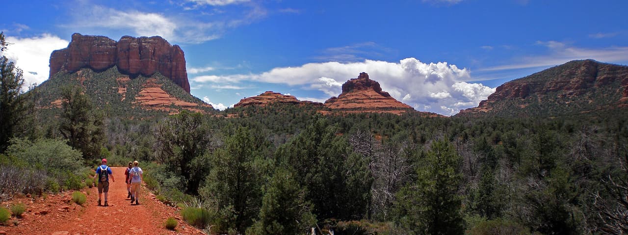
Elmerville Spur E Trail runs about 0.64 miles through the red rock country around the Village of Oak Creek, Arizona. The grade is listed at 5-8%, so there is some climbing but nothing sustained for long. Walkers cross native material. It is signed as trail number 115E and rated trail class 1. The Red Rock Ranger District of the Coconino National Forest takes care of it. Check current conditions before you go, because weather, fire, or repair work can close a route. Carry water and tell someone where you plan to walk.

Verified Verified
Trails

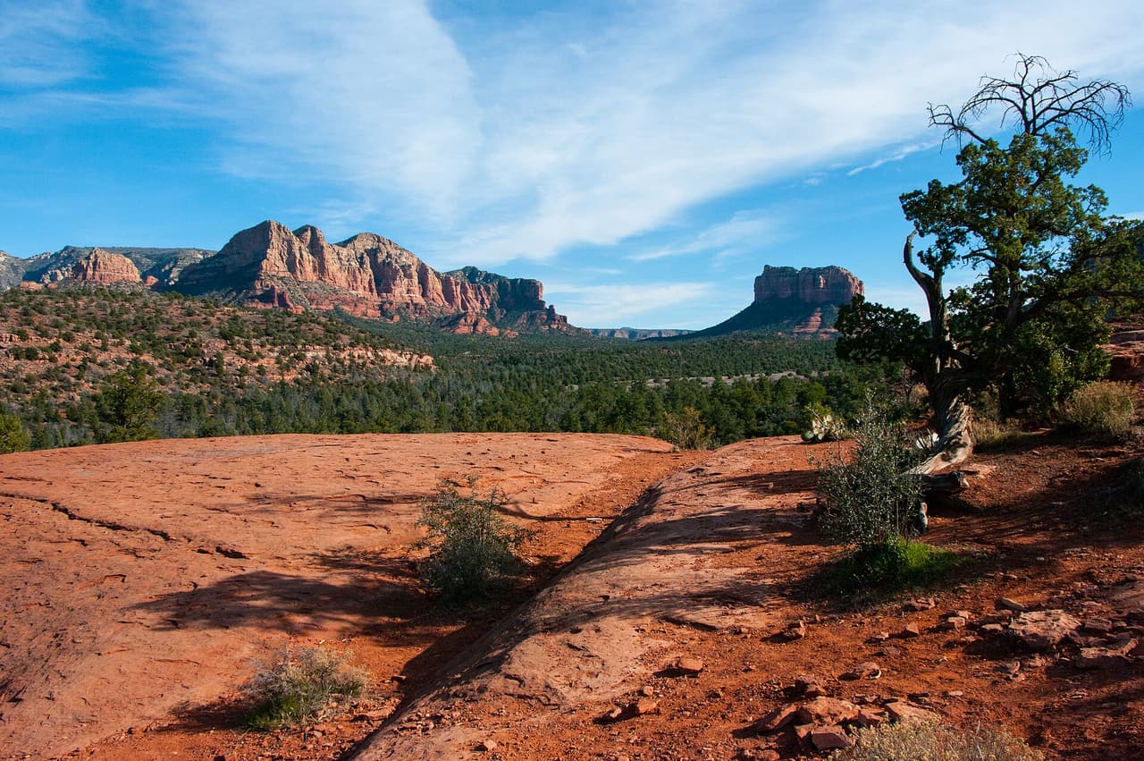
Elmerville Spur K Trail is 2.5 miles near Village of Oak Creek, in the Red Rock Ranger District of Coconino National Forest, as trail number 115K. It is one of the longer lettered spurs off the route numbered 115. Expect native material and a typical grade of 5 to 8 percent. The trail class is 1, the least developed class, which at two and a half miles means real navigation rather than following signs. The permitted uses are not posted here. Take a map and tell someone your route.

Verified Verified
Trails

Trail number 115R carries the name Elmerville Spur R Trail. It covers about 1.9 miles on public land near the Village of Oak Creek, Arizona. The route is built on native material and is rated trail class 1. Grade on the path is given as 5-8%. Care of the trail falls to the Red Rock Ranger District of the Coconino National Forest. Carry water and tell someone where you plan to walk. Wear shoes with good grip and give yourself time to get back. Match the trail number to the signs at junctions so you stay on the route you meant to take.

Verified Verified
Trails

Hikers near the Village of Oak Creek, Arizona, know Elmerville Spur S Trail as a route of about 0.76 miles. It is trail class 1, with a grade of 5-8% and a tread of native material. Signs on the ground call it 115S. The Coconino National Forest manages it through its Red Rock Ranger District. Wear shoes with good grip and give yourself time to get back. Match the trail number to the signs at junctions so you stay on the route you meant to take.

Verified Verified
Trails

Hermit Trail is a public forest path of roughly 0.3 miles close to the Village of Oak Creek, Arizona. Its surface is native material and its grade is given as 5-8%. The rating is trail class 2, and the number on the signs is 172E. Day to day care comes from the Red Rock Ranger District of the Coconino National Forest. Read the rules posted at the trailhead, since not every route is open to bikes, horses, or dogs. Park only in marked spaces and pack out everything you bring in.

Verified Verified
Trails

Near the Village of Oak Creek, Arizona, Hiline Trail covers about 3.11 miles. Grade is 8-10% and the walking surface is native material. The route holds a trail class 2 rating and is numbered 193. It lies in the Coconino National Forest, in the Red Rock Ranger District. Park only in marked spaces and pack out everything you bring in. Phone service is not reliable on forest land, so save a map before you leave town. Plan a turnaround time, and turn back early if the light or the weather changes.

Verified Verified
Trails

Hot Loop is 11.24 miles near Village of Oak Creek, in the Red Rock Ranger District of Coconino National Forest, as trail number 40. It is a loop, so no shuttle is needed, but the numbers deserve reading together: eleven miles at a typical grade of 12 to 20 percent, the steepest band are listed. That is a long, hard day by any measure. Native material underfoot, class 2. The permitted uses are not posted here. Start early, carry more water than feels sensible, and tell someone your plan.

Verified Verified
Trails

Hot Loop a runs about 1.52 miles through the red rock country around the Village of Oak Creek, Arizona. The grade is listed at 5-8%, so there is some climbing but nothing sustained for long. Walkers cross native material. It is signed as trail number 40A and rated trail class 2. The Red Rock Ranger District of the Coconino National Forest takes care of it. Phone service is not reliable on forest land, so save a map before you leave town. Plan a turnaround time, and turn back early if the light or the weather changes.

Verified Verified
Trails

Trail number 197 carries the name Ht Trail. It covers about 0.78 miles on public land near the Village of Oak Creek, Arizona. The route is built on native material and is rated trail class 2. Grade on the path is given as 5-8%. Care of the trail falls to the Red Rock Ranger District of the Coconino National Forest. Plan a turnaround time, and turn back early if the light or the weather changes. Check current conditions before you go, because weather, fire, or repair work can close a route.

Verified Verified
Jacks Canyon Trail, Village of Oak Creek Coconino NF Photography (CC0-1.0)
Trails

Hikers near the Village of Oak Creek, Arizona, know Jacks Canyon Trail as a route of about 6.62 miles. It is trail class 2, with a grade of 10-12% and a tread of native material. Signs on the ground call it 55. The Coconino National Forest manages it through its Red Rock Ranger District. Check current conditions before you go, because weather, fire, or repair work can close a route. Carry water and tell someone where you plan to walk. Wear shoes with good grip and give yourself time to get back.

Verified Verified
Trails

About 1.76 miles long, Jim Bryant Trail sits on Coconino National Forest land near the Village of Oak Creek, Arizona. The Red Rock Ranger District keeps it up. Look for the number 199 where routes meet. The path is made of native material, rated trail class 2, and rises at a grade of 5-8%. Carry water and tell someone where you plan to walk. Wear shoes with good grip and give yourself time to get back. Match the trail number to the signs at junctions so you stay on the route you meant to take.

Verified Verified
Trails

Kaibab Trail is a public forest path of roughly 0.15 miles close to the Village of Oak Creek, Arizona. Its surface is native material and its grade is given as 5-8%. The rating is trail class 3, and the number on the signs is 172A. Day to day care comes from the Red Rock Ranger District of the Coconino National Forest. Wear shoes with good grip and give yourself time to get back. Match the trail number to the signs at junctions so you stay on the route you meant to take.

Verified Verified
Trails

Near the Village of Oak Creek, Arizona, Kel Fox Trail covers about 1.72 miles. Grade is 5-8% and the walking surface is native material. The route holds a trail class 2 rating and is numbered 195. It lies in the Coconino National Forest, in the Red Rock Ranger District. Match the trail number to the signs at junctions so you stay on the route you meant to take. Read the rules posted at the trailhead, since not every route is open to bikes, horses, or dogs.

Verified Verified
Trails

Little Rock Trail runs about 2.39 miles through the red rock country around the Village of Oak Creek, Arizona. The grade is listed at 5-8%, so there is some climbing but nothing sustained for long. Walkers cross native material. It is signed as trail number 148 and rated trail class 2. The Red Rock Ranger District of the Coconino National Forest takes care of it. Read the rules posted at the trailhead, since not every route is open to bikes, horses, or dogs. Park only in marked spaces and pack out everything you bring in.

Verified Verified
Llama Trail, Village of Oak Creek Coconino NF Photography (public-domain)
Trails

Trail number 650 carries the name Llama Trail. It covers about 2.83 miles on public land near the Village of Oak Creek, Arizona. The route is built on imported compacted material and is rated trail class 2. Grade on the path is given as 5-8%. Care of the trail falls to the Red Rock Ranger District of the Coconino National Forest. Park only in marked spaces and pack out everything you bring in. Phone service is not reliable on forest land, so save a map before you leave town.

Verified Verified
Trails

Hikers near the Village of Oak Creek, Arizona, know Made in the Shade Trail as a route of about 1.27 miles. It is trail class 2, with a grade of 5-8% and a tread of native material. Signs on the ground call it 173C. The Coconino National Forest manages it through its Red Rock Ranger District. Phone service is not reliable on forest land, so save a map before you leave town. Plan a turnaround time, and turn back early if the light or the weather changes.

Verified Verified
Trails

About 0.46 miles long, Middle Trail sits on Coconino National Forest land near the Village of Oak Creek, Arizona. The Red Rock Ranger District keeps it up. Look for the number 135B where routes meet. The path is made of native material, rated trail class 2, and rises at a grade of 5-8%. Plan a turnaround time, and turn back early if the light or the weather changes. Check current conditions before you go, because weather, fire, or repair work can close a route. Carry water and tell someone where you plan to walk.

Verified Verified
Trails

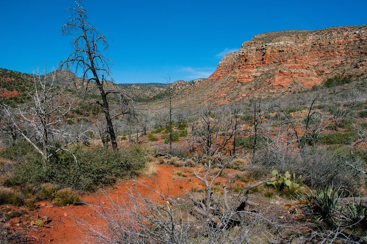
Phone Extension Trail is a public forest path of roughly 0.29 miles close to the Village of Oak Creek, Arizona. Its surface is native material and its grade is given as 5-8%. The rating is trail class 3, and the number on the signs is 658. Day to day care comes from the Red Rock Ranger District of the Coconino National Forest. Check current conditions before you go, because weather, fire, or repair work can close a route. Carry water and tell someone where you plan to walk.

Verified Verified
Trails

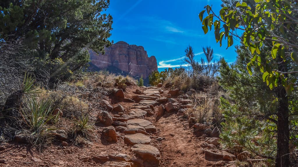
Near the Village of Oak Creek, Arizona, Phone Trail covers about 0.21 miles. Grade is 5-8% and the walking surface is native material. The route holds a trail class 3 rating and is numbered 96A. It lies in the Coconino National Forest, in the Red Rock Ranger District. Carry water and tell someone where you plan to walk. Wear shoes with good grip and give yourself time to get back. Match the trail number to the signs at junctions so you stay on the route you meant to take.

Verified Verified
Trails

Rabbit Ears Trail runs about 2.47 miles through the red rock country around the Village of Oak Creek, Arizona. The grade is listed at 5-8%, so there is some climbing but nothing sustained for long. Walkers cross native material. It is signed as trail number 148A and rated trail class 2. The Red Rock Ranger District of the Coconino National Forest takes care of it. Wear shoes with good grip and give yourself time to get back. Match the trail number to the signs at junctions so you stay on the route you meant to take.

Verified Verified
Trails

Trail number 135D carries the name Rector Bypass Trail. It covers about 0.11 miles on public land near the Village of Oak Creek, Arizona. The route is built on native material and is rated trail class 3. Grade on the path is given as 0-5%. Care of the trail falls to the Red Rock Ranger District of the Coconino National Forest. Match the trail number to the signs at junctions so you stay on the route you meant to take. Read the rules posted at the trailhead, since not every route is open to bikes, horses, or dogs.

Verified Verified
Trails

Hikers near the Village of Oak Creek, Arizona, know Rector Connector Trail as a route of about 0.62 miles. It is trail class 3, with a grade of 0-5% and a tread of native material. Signs on the ground call it 135C. The Coconino National Forest manages it through its Red Rock Ranger District. Read the rules posted at the trailhead, since not every route is open to bikes, horses, or dogs. Park only in marked spaces and pack out everything you bring in. Phone service is not reliable on forest land, so save a map before you leave town.

Verified Verified
Trails

About 0.42 miles long, Red Rock Crossing Trail sits on Coconino National Forest land near the Village of Oak Creek, Arizona. The Red Rock Ranger District keeps it up. Look for the number 191B where routes meet. The path is made of native material, rated trail class 3, and rises at a grade of 5-8%. Park only in marked spaces and pack out everything you bring in. Phone service is not reliable on forest land, so save a map before you leave town. Plan a turnaround time, and turn back early if the light or the weather changes.

Verified Verified
Red Rock State Park, Village of Oak Creek Peter D. Tillman from USA (CC BY-SA 2.0)
Trails

Red Rock State Park is at 4050 Red Rock Loop Rd, managed by Arizona State Parks. The park is open 8 a.m. to 5 p.m. daily, the visitor center runs 9 a.m. to 4:30 p.m., and last entry is 4:30 PM, so arriving late in the afternoon does not work here. Entry is $10 for an adult aged 14 and over, $5 for ages 7 to 13, free for under 7, and $5 to walk in. One thing about our own record: the postal address says Sedona while we file the park under Village of Oak Creek. Call (928) 282-6907 to confirm anything seasonal.

Verified Verified
Trails

Slim Shady Trail is a public forest path of roughly 2.43 miles close to the Village of Oak Creek, Arizona. Its surface is native material and its grade is given as 5-8%. The rating is trail class 3, and the number on the signs is 173. Day to day care comes from the Red Rock Ranger District of the Coconino National Forest. Phone service is not reliable on forest land, so save a map before you leave town. Plan a turnaround time, and turn back early if the light or the weather changes.

Verified Verified
Trails

Near the Village of Oak Creek, Arizona, Templeton Trail covers about 3.7 miles. Grade is 5-8% and the walking surface is native material. The route holds a trail class 3 rating and is numbered 156. It lies in the Coconino National Forest, in the Red Rock Ranger District. Plan a turnaround time, and turn back early if the light or the weather changes. Check current conditions before you go, because weather, fire, or repair work can close a route. Carry water and tell someone where you plan to walk.

Verified Verified

Turkey Creek Trail, Village of Oak Creek Coconino National Forest (CC0-1.0)
Trails

Turkey Creek Trail runs about 3.41 miles through the red rock country around the Village of Oak Creek, Arizona. The grade is listed at 5-8%, so there is some climbing but nothing sustained for long. Walkers cross native material. It is signed as trail number 92 and rated trail class 2. The Red Rock Ranger District of the Coconino National Forest takes care of it. Check current conditions before you go, because weather, fire, or repair work can close a route. Carry water and tell someone where you plan to walk.

Verified Verified
Woods Canyon Trail, Village of Oak Creek Coconino National Forest (CC0-1.0)
Trails

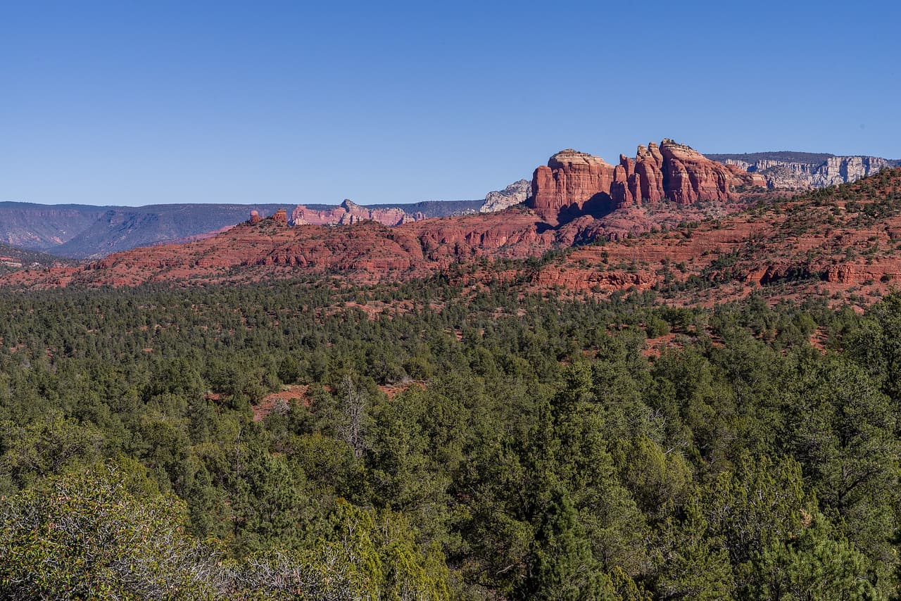
Trail number 93 carries the name Woods Canyon Trail. It covers about 5.22 miles on public land near the Village of Oak Creek, Arizona. The route is built on native material and is rated trail class 2. Grade on the path is given as 5-8%. Care of the trail falls to the Red Rock Ranger District of the Coconino National Forest. Carry water and tell someone where you plan to walk. Wear shoes with good grip and give yourself time to get back. Match the trail number to the signs at junctions so you stay on the route you meant to take.

Verified Verified
Trails

Yavapai Vista Trail is 0.3 miles near Village of Oak Creek, in the Red Rock Ranger District of Coconino National Forest, as trail number 172. The typical grade is 5 to 8 percent, the surface is native material, and the trail class is 3, which usually means a clear tread. The allowed uses are not posted, so ask before you ride. At under a third of a mile this is a short walk rather than an outing, and several lettered trails branch from the same number. Nothing is posted about what can be seen from it.

Verified Verified