
Nearby
Close to Centennial Trail
Signed as trail 1012B, Ledge N Airy Trail stretches 0.8 miles in the Red Rock Ranger District of the Coconino National Forest near Sedona, Arizona. Grades of 0-5% mean the miles stay close to level. It is held to class 3 standards. Loose rock turns up after storms, so watch your step on the downhill side. Take water for everyone in your group, and turn back if the weather changes. Check with the Red Rock Ranger District for closures, fire limits, and parking rules before you drive out.
Verified Verified
A short drive from Sedona, Arizona, Roundabout Trail runs 6.1 miles through the Coconino National Forest and is looked after by the Red Rock Ranger District. Grades of 0-5% mean the miles stay close to level. It carries the number 1012A and is held to class 3 standards. Other people share the path, so listen for riders and bikes coming from behind. Bring more water than you think you need, and tell someone your plan. Call the Red Rock Ranger District first if you want to know about fire limits or a temporary closure.
Verified Verified

A hotel at 4105 West State Route 89A, on the west end of Sedona, run under the Courtyard name by Marriott. Being part of a chain means the room layout, the booking system and the loyalty program work the way they do elsewhere in the group, which some travelers prefer to a surprise. The location sits along the highway, so getting in and out by car is straightforward, and town is a short drive. Call (928) 325-0055 to check dates, ask about room types and confirm what the rate includes. Parking and any added charges are worth asking about too.
Verified Verified
Overeasy Trail is 0.24 miles near Sedona, in the Red Rock Ranger District of Coconino National Forest, as trail number 670. The typical grade is 10 to 12 percent, which is steeper than the name suggests, over less than a quarter mile. It is class 3, on native material. The allowed uses are not posted, so ask before you ride. A segment this short is a link between longer routes, so read it on a map with its neighbors rather than planning a trip around it.
Verified Verified
Walkers heading out from Sedona, Arizona will find Stirrup Trail at 2.8 miles long, in the Red Rock Ranger District of the Coconino National Forest. Grades of 0-5% mean the miles stay close to level. It carries the number 162F and is held to class 3 standards. Storm runoff moves dirt around, so the tread may look different from one season to the next. Carry water, wear shoes with grip, and give yourself more time than the distance suggests. For closures, dog rules, or parking questions, the Red Rock Ranger District is the place to ask.
Verified Verified
More
All trails in Sedona → Also in Trails
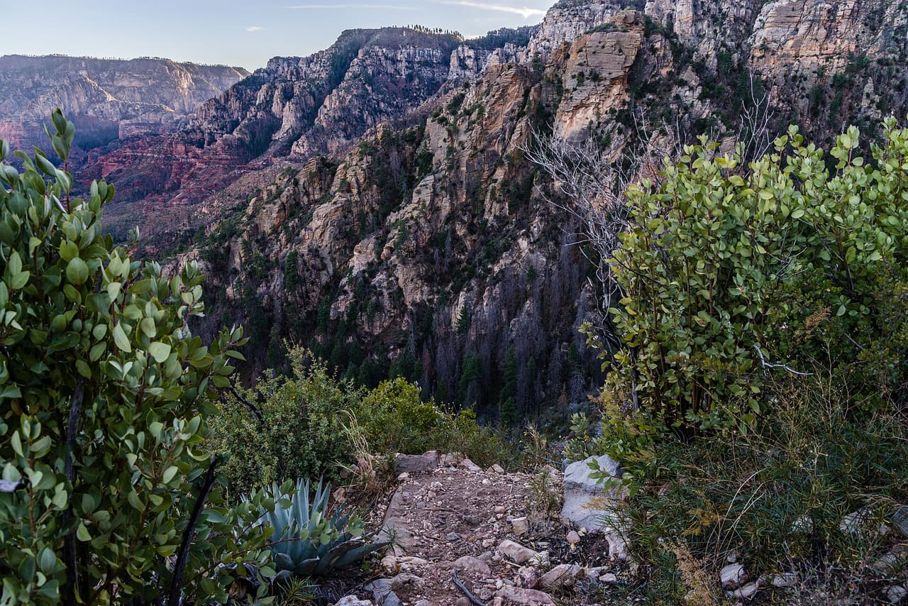 Coconino National Forest (CC0-1.0)
A B Young Trail covers 2.09 miles near Sedona, in the Red Rock Ranger District of Coconino National Forest. It is trail number 100. The typical grade is 10 to 12 percent, which is steep enough that the mileage understates the effort, and the surface is native material. It is a class 2 trail. The allowed uses are not posted, so ask before you ride. This is a well known climb and it can be busy, so an early start helps with both parking and heat. Trailhead parking details are not posted, and parking rules around Sedona change, so check before you drive out.
Verified Verified
Adobe Jack Trail is a 2.1 mile path in the Coconino National Forest near Sedona, Arizona. The Red Rock Ranger District takes care of it. The tread is native material, so you walk on packed dirt and rock rather than pavement. Grades run about 8 to 10 percent, which means steady short climbs rather than flat walking. It is listed as trail number 660 and rated trail class 2, a simple developed path with no pavement and no railings. Wear shoes with grip, carry more water than you think you need, and check the district for closures before you drive out to the trailhead.
Verified Verified
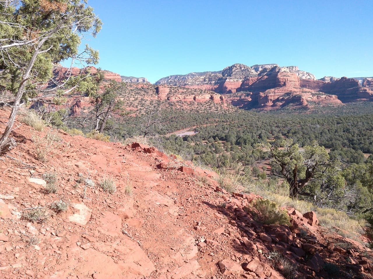 davidpinter (CC BY 3.0)
Aerie Trail runs 2.75 miles over native dirt and rock in the Coconino National Forest outside Sedona. Grades sit between 5 and 8 percent, so the climbing is gentle and steady rather than steep. It is listed as trail number 168 and rated trail class 2, which means a developed path with a clear tread but no pavement and no railings. The Red Rock Ranger District manages it. Shade is thin on most trails in this country, so carry more water than you think you need, start early in warm months, and check for closures before you drive to the trailhead.
Verified Verified