Trails · Camp Verde

Buckskin Trail

Length
1.88 mi
Surface
Native material
Trail class
1 of 5, minimally developed

About

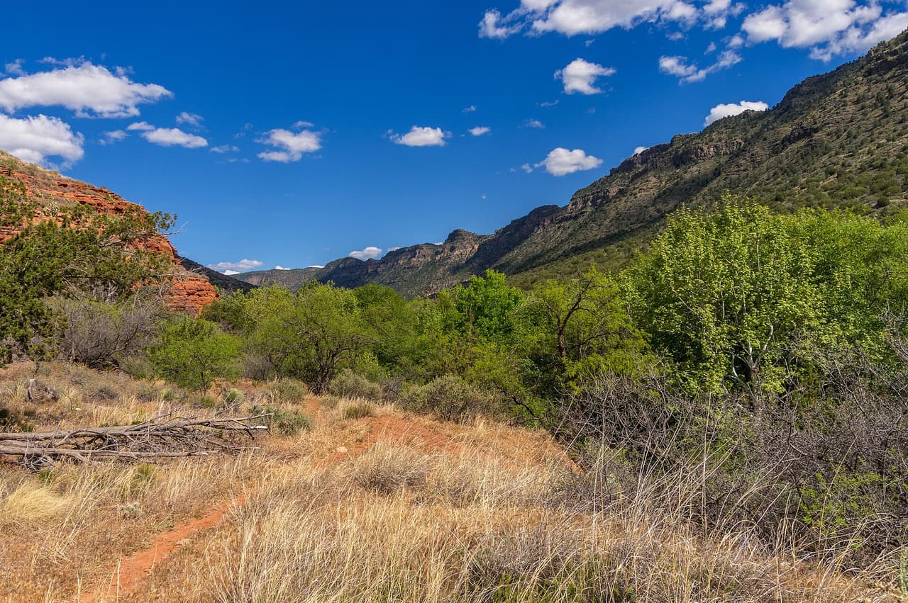
Buckskin Trail is 1.88 miles near Camp Verde, in the Red Rock Ranger District of Coconino National Forest, as trail number 179. The typical grade is 5 to 8 percent, moderate throughout, and the surface is native material. The trail class is 1, the least developed class, so expect rough tread and light marking rather than a graded path. The allowed uses are not posted, so ask before you ride. On a class 1 trail the navigation matters as much as the distance: carry a map and do not rely on signs at junctions.

Last verified by open-data

0 Was this listing useful?
Reviews

What people say

Loading reviews…
Reader notes

Loading notes…

Nearby

Close to Buckskin Trail

Camp Verde · Trails · 4.9 km

Sycamore Spring Trail is 2.27 miles near Camp Verde, in the Red Rock Ranger District of Coconino National Forest, as trail number 175. The typical grade is 5 to 8 percent, moderate throughout, and the surface is native material. The trail class is 1, the least developed class, which means rough tread and light marking rather than a graded path. The allowed uses are not posted, so ask before you ride. The spring in the name is not something this page can speak to: nothing is posted about water there. Carry a map, and ask the district office before you drive out.

Verified Verified
Mail Trail, Camp Verde deborah.soltesz (CC0-1.0)
Camp Verde · Trails · 5.7 km

Mail Trail runs about 5.4 miles in the Coconino National Forest and is managed by the Red Rock Ranger District, which makes it one of the few routes near Camp Verde under that district rather than the Verde Ranger District. It is numbered 84. The surface is native material, dirt and rock without paving, and grades run from 5 to 8 percent, a steady climb. It is rated trail class 2, a plain path with little construction. Ask the Red Rock Ranger District about current conditions, access roads and any seasonal closures before driving out to the trailhead.

Verified Verified
West Clear Creek Trail, Rimrock Coconino National Forest (CC0-1.0)
Rimrock · Trails · 11.1 km

Running about 6.99 miles, West Clear Creek Trail is one of the longer routes near Rimrock, Arizona. It is signed as trail number 17. Grades fall in the 5-8% range, and the tread is native material, so the walking is on dirt and rock with some loose patches. A trail class of 2 means a simply built path: followable, but with few signs and no paving. The Red Rock Ranger District of the Coconino National Forest manages it. Give yourself most of a day, carry more water than a short hike needs, and check the weather, since storms can change conditions quickly.

Verified Verified
Rimrock · Trails · 11.3 km

At about 2.36 miles, Blodgett Basin Trail is a steeper walk than most paths around Rimrock, Arizona. Grades run 8-10%, so you gain height quickly and should expect to slow down on the way up. The trail is signed as number 31, and the tread is native material, which means dirt and rock rather than a smoothed surface. Its trail class of 1 marks it as rough and lightly built, with faint stretches and uneven footing. The Red Rock Ranger District of the Coconino National Forest manages the route. Wear shoes with grip, pack water, and check the weather before you set out.

Verified Verified
Camp Verde · Trails · 11.8 km

Ladders Trail is a short route in the Prescott National Forest, just 0.21 miles long, managed by the Verde Ranger District and numbered 0016. Hiking, horseback riding and bicycles are all allowed. It is steep for its length, with grades from 12 to 20 percent, so the short distance does not make it easy. The surface is native material, dirt and rock. It is rated trail class 2. A route this short usually links two longer ones rather than standing on its own, so look at what it connects to. Ask the Verde Ranger District about conditions.

Verified Verified
More

Also in Trails

All trails in Camp Verde →
Camp Verde · Trails

Arnold Trail is one of the shortest trails we list near Camp Verde, at 0.34 miles. It sits in the Verde Ranger District of Prescott National Forest and carries the number 0510. The typical grade runs 5 to 8 percent, so it climbs steadily without being steep. The surface is native material, and the trail class is 2. Hiking, horses and bicycles are all listed as allowed uses. A trail this short usually works as a link between longer routes rather than as a walk on its own. We do not yet hold parking or trailhead details for it, so check with that office before you set off.

Verified Verified
Camp Verde · Trails

Box T Trail is a long route in the Prescott National Forest, listed at 10.36 miles. It is managed by the Verde Ranger District and numbered 0511. The surface is native material, meaning dirt and rock rather than pavement. Grades run from 5 to 8 percent, so the climbing is steady rather than sharp. It is rated trail class 2, a basic path without much construction. Allowed uses are wide: hiking, horseback riding, bicycles and all terrain vehicles. Because motorized and quiet users share the same tread, expect company. Ask the Verde Ranger District about conditions and closures before you go.

Verified Verified
Camp Verde · Trails

Camp Verde Trail is the longest route in this set, at 12.42 miles, and it sits in the Verde Ranger District of Prescott National Forest as trail number 0545. The typical grade is 8 to 10 percent, which over that distance adds up to real climbing. Native material underfoot, class 3. Hiking, horses, bicycles and ATVs are all listed as allowed uses, so expect shared traffic. A trail this long needs planning: water, weather, daylight and a way back. Trailhead and water details are not posted, so start with the district office rather than with the map alone.

Verified Verified