Arnold Trail is one of the shortest trails we list near Camp Verde, at 0.34 miles. It sits in the Verde Ranger District of Prescott National Forest and carries the number 0510. The typical grade runs 5 to 8 percent, so it climbs steadily without being steep. The surface is native material, and the trail class is 2. Hiking, horses and bicycles are all listed as allowed uses. A trail this short usually works as a link between longer routes rather than as a walk on its own. We do not yet hold parking or trailhead details for it, so check with that office before you set off.
Photo: Coconino National Forest (CC0) · Wikimedia Commons Outdoors · Camp Verde
Trails in Camp Verde
17 places on the map.
Box T Trail is a long route in the Prescott National Forest, listed at 10.36 miles. It is managed by the Verde Ranger District and numbered 0511. The surface is native material, meaning dirt and rock rather than pavement. Grades run from 5 to 8 percent, so the climbing is steady rather than sharp. It is rated trail class 2, a basic path without much construction. Allowed uses are wide: hiking, horseback riding, bicycles and all terrain vehicles. Because motorized and quiet users share the same tread, expect company. Ask the Verde Ranger District about conditions and closures before you go.
Buckskin Trail is 1.88 miles near Camp Verde, in the Red Rock Ranger District of Coconino National Forest, as trail number 179. The typical grade is 5 to 8 percent, moderate throughout, and the surface is native material. The trail class is 1, the least developed class, so expect rough tread and light marking rather than a graded path. The allowed uses are not posted, so ask before you ride. On a class 1 trail the navigation matters as much as the distance: carry a map and do not rely on signs at junctions.
Camp Verde Trail is the longest route in this set, at 12.42 miles, and it sits in the Verde Ranger District of Prescott National Forest as trail number 0545. The typical grade is 8 to 10 percent, which over that distance adds up to real climbing. Native material underfoot, class 3. Hiking, horses, bicycles and ATVs are all listed as allowed uses, so expect shared traffic. A trail this long needs planning: water, weather, daylight and a way back. Trailhead and water details are not posted, so start with the district office rather than with the map alone.
Chasm Creek Trail climbs through the Prescott National Forest for about 6.36 miles. The Verde Ranger District manages it, and it carries the number 0164. Allowed uses are hiking and horseback riding. Grades run from 12 to 20 percent, which is steep, so this is a harder walk than its length alone suggests. Expect to gain and lose height through the route. The surface is native material, dirt and rock without any paving, and it is rated trail class 2, a plain path. Carry water and start early in warm months. Ask the Verde Ranger District about conditions first.
Copper Falls Trail runs about 3.11 miles in the Prescott National Forest, under the Verde Ranger District, and is numbered 0504. Hiking, horseback riding and bicycles are all allowed. Grades run from 8 to 10 percent, a moderate steady climb. The surface is native material, so it is dirt and rock. It is rated trail class 3, which means a more developed path than the plainest routes nearby, with a clearer tread. The shorter length makes it a reasonable half day outing rather than a full one. Check with the Verde Ranger District on conditions and any closures before heading out.
General Crook Trail covers about 11.43 miles in the Prescott National Forest. The Verde Ranger District manages it, and it is numbered 0064. Hiking, horseback riding and bicycles are all allowed. The surface is native material, dirt and rock rather than pavement, and grades run between 5 and 8 percent, a steady climb without anything sharp. It is rated trail class 2, a plain path. At this length, most people walk a section rather than the whole route, so plan where to start and turn around. Ask the Verde Ranger District about water, conditions and closures first.
Ladders Trail is a short route in the Prescott National Forest, just 0.21 miles long, managed by the Verde Ranger District and numbered 0016. Hiking, horseback riding and bicycles are all allowed. It is steep for its length, with grades from 12 to 20 percent, so the short distance does not make it easy. The surface is native material, dirt and rock. It is rated trail class 2. A route this short usually links two longer ones rather than standing on its own, so look at what it connects to. Ask the Verde Ranger District about conditions.
deborah.soltesz (CC0-1.0) Mail Trail runs about 5.4 miles in the Coconino National Forest and is managed by the Red Rock Ranger District, which makes it one of the few routes near Camp Verde under that district rather than the Verde Ranger District. It is numbered 84. The surface is native material, dirt and rock without paving, and grades run from 5 to 8 percent, a steady climb. It is rated trail class 2, a plain path with little construction. Ask the Red Rock Ranger District about current conditions, access roads and any seasonal closures before driving out to the trailhead.
Porcupine Mountain Trail runs about 4.28 miles in the Prescott National Forest. The Verde Ranger District looks after it, and maps show it as trail 0518. Allowed uses are hiking and horseback riding. The tread is native material, so the path is dirt and rock rather than pavement. Grades run between 5 and 8 percent, a steady climb rather than a flat walk. It is rated trail class 2, which means a simple path with little building work done to it. The route was once called Squaw Peak Trail and now carries the Porcupine Mountain name. Ask the Verde Ranger District about current conditions before you drive out.
Ryal Canyon Trail runs about 2.55 miles in the Prescott National Forest, under the Verde Ranger District, and carries the number 0521. It is open to hiking, horseback riding, bicycles and all terrain vehicles, so quiet and motorized users share the same tread. Grades run from 10 to 12 percent, a firm climb over a fairly short distance. The surface is native material, dirt and rock without paving, and it is rated trail class 2. Dust and noise are part of a shared use route. Ask the Verde Ranger District about conditions and any seasonal closures before you go.
Saloon Trail is 0.19 miles near Camp Verde, in the Verde Ranger District of Prescott National Forest, as trail number 9833. At under a fifth of a mile this is a connector rather than a walk: the kind of short segment that joins two longer routes or reaches a junction. The typical grade is 5 to 8 percent, the surface is native material, and the trail class is 3. Hiking, horses and bicycles are all listed as allowed uses. Plan it as one piece of a larger loop, and look at the map before you rely on signage at the junctions.
Sheep Trail is 2.46 miles near Camp Verde, in the Verde Ranger District of Prescott National Forest, as trail number 0532. The typical grade is 5 to 8 percent, moderate and steady rather than steep, and the surface is native material. It is recorded as trail class 2. Hiking, horses and bicycles are all listed as allowed uses, and no motorized use is listed, which usually makes for a quieter walk than the shared routes nearby. At this distance it is a straightforward morning out. Trailhead directions are not posted or water details, so check with the district office before the drive.
Sycamore Spring Trail is 2.27 miles near Camp Verde, in the Red Rock Ranger District of Coconino National Forest, as trail number 175. The typical grade is 5 to 8 percent, moderate throughout, and the surface is native material. The trail class is 1, the least developed class, which means rough tread and light marking rather than a graded path. The allowed uses are not posted, so ask before you ride. The spring in the name is not something this page can speak to: nothing is posted about water there. Carry a map, and ask the district office before you drive out.
Tomkins Trail is 4.66 miles near Camp Verde, in the Verde Ranger District of Prescott National Forest, as trail number 0513. The typical grade is 10 to 12 percent, so there is steady climbing across the whole distance rather than one short pitch. The tread is native material; the class is 2. Hiking, horses, bicycles and ATVs are all listed as allowed uses, which makes this shared ground with possible motorized traffic. Trailhead directions are not posted or water details for it, so check with the district office before you make the drive out.
Underhill Trail is a short route of about 1.3 miles in the Prescott National Forest. The Verde Ranger District manages it and it is numbered 0528. Hiking, horseback riding, bicycles and all terrain vehicles are all allowed, so expect mixed traffic. Grades run from 8 to 10 percent, a moderate climb. The surface is native material, meaning dirt and rock. It is rated trail class 3, so the tread is better built than on the plainest routes in the district. The short length suits a quick outing or a link between longer trails. Check conditions with the Verde Ranger District.
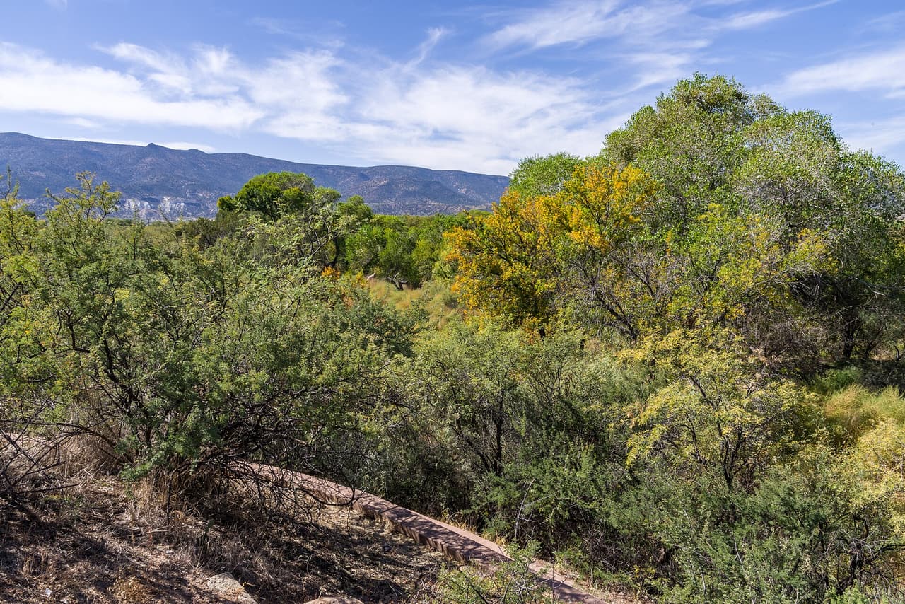
Coconino National Forest (public-domain) White Bridge Trail is very short, about 0.11 miles, and it is paved with asphalt rather than left as dirt. That makes it unusual among the routes in the Prescott National Forest around here, and easier for people who do not want rough ground. The grade is gentle, between 0 and 5 percent. Hiking is the only listed use. It is rated trail class 4, the most developed class in this set, which fits a short paved path. The Verde Ranger District manages it, and it carries the number 0522. Ask the district about parking and access before you go.