Guide · Sedona
Sedona trail closures and conditions
Which Sedona-area trails and creek areas are closed right now, why, and where to check before you go. Updated weekly from Forest Service orders.
Last verified
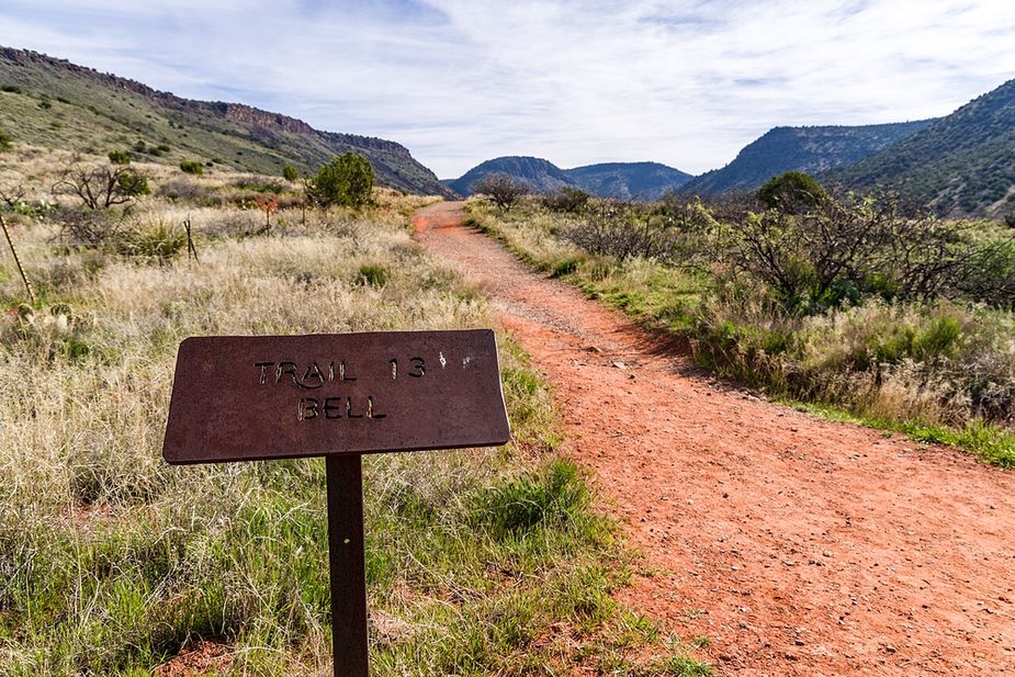 Photo: Coconino National Forest (CC0) · Wikimedia Commons
.jpg)
This page explains what is closed on the trails around Sedona and Oak Creek Canyon, and why. The rules come from the U.S. Forest Service, which manages almost all of this land. We read the Forest Service closure orders and put them in plain words. We are not the Forest Service. When in doubt, the Forest Service alerts page wins.
What is closed right now
As of September 24, 2026, the Forest Service lists these orders for the Sedona area.
All three temporary orders end on September 30, 2026: the Pocket Fire trail closure and both flood orders. We confirmed each end date on the Forest Service’s own alert page for that order on September 24. If you are reading this in October, go to the alerts page rather than this list. A closure that ends is not announced as loudly as one that starts, and a trail can also stay shut past the date on the order if the hazard has not gone.
-
Pocket Fire trail closures. Five trails in the burn area are closed outright, along with the ground within 100 feet of either side of each: Bear Sign (#59), David Miller (#164), Dry Creek (#52), HS Canyon (#50) and Secret Canyon (#121). The hazards are burned trees, loose slopes and flood risk below the burn. Forest Order 03-04-06-26-003, in force from July 31 through September 30, 2026.
-
West Fork of Oak Creek. Closed under Forest Order 03-04-00-26-006, dated September 17 and running to September 30, 2026, covering the West Fork drainage, the Call of the Canyon picnic site and West Fork Trail #108.
-
A stretch of Oak Creek and its picnic sites. Forest Order 03-04-00-26-005, July 31 through September 30, 2026, closes the West Fork drainage from Forest Road 231 down to the confluence with Oak Creek, and Oak Creek itself from where it enters Forest Service land north of Call of the Canyon south to where it leaves onto private land, plus the ground within 100 feet of each. It also names the Banjo Bill, Bootlegger, Call of the Canyon, Encinoso, Grasshopper Point and Halfway picnic sites, Manzanita Campground, and West Fork Trail #108.
This one is in flux. A newer order, 03-04-00-26-006 of September 17, covers only the West Fork drainage, the Call of the Canyon picnic site and West Fork Trail #108, and says it supersedes earlier orders over the same ground. Arizona State Parks has reopened the Slide Rock swim area citing that revision. The Forest Service still lists the older order as active, so we cannot tell you from the published orders alone whether the rest of that stretch has reopened. Call the Red Rock Ranger Station on (928) 203-2900, or read the alerts page, before you count on any of it.
-
Camping and campfires. Year-round limits on camping and fires apply in the Sedona and Oak Creek Canyon areas (Forest Order 03-04-06-23-03). Most of the red rock country near town does not allow dispersed camping or fires at any time.
-
West Sedona camping and campfires. A separate year-round order, 03-04-06-26-04, in force since August 31, 2026, prohibits dispersed camping and campfires in the national forest west of Sedona except inside the designated camping areas. If you have camped out there before under the older order, this is the one that replaced it.
-
Glass on Oak Creek. Glass containers are banned within 300 feet of Oak Creek, except in developed campgrounds and picnic areas (Forest Order 03-04-06-22-30).
Fire danger on the Red Rock Ranger District was listed as moderate on the verified date.
Why trails close here
Three things close Sedona trails most often:
- Fire. Wildfire closes trails during the fire and for months after. Burned slopes shed rocks and trees, and rain on a burn scar causes floods.
- Flash floods. Oak Creek Canyon is narrow. A storm miles upstream can raise the creek fast, even under a blue sky. This is the reason for the West Fork and Oak Creek orders above. Summer monsoon season (roughly July through mid-September) is the worst time.
- Heat. Trails are not closed for heat, but rescues go up in summer. Start early, carry more water than you think you need, and turn around by mid-morning on hot days.
Trails that are open but need a plan
Not closures, but easy to get wrong:
- Cathedral Rock and Soldier Pass trailhead lots are closed to cars on shuttle days (Thursday through Sunday, plus spring break and holidays). You ride the free Sedona Shuttle from a park-and-ride lot instead. See the parking and shuttle guide.
- Palatki Heritage Site needs a reservation through Recreation.gov and a Red Rock Pass. It is on a dirt road 13 miles northwest of town. Details on the Palatki listing.
- Slide Rock State Park fills its lot early on warm weekends. Entry and swimming close at 5 PM in the main season. Details on the Slide Rock listing.
Where to check yourself
- Forest Service alerts for closure orders and fire restrictions.
- NWS Flagstaff for flash flood watches and warnings. A watch means conditions are right; a warning means it is happening.
- AZ511 for SR 89A and SR 179 road closures.
- Our conditions page shows the current items from all three in one place.
A note on other sources
Local social media pages and trail apps often have fresh reports, but they are not official and can be days old. Use them for trail surface reports (mud, ice) and the Forest Service for what is legally closed. Going into a closed area can mean a fine, and it puts rescue crews at risk.
Data on this page comes from the U.S. Forest Service, the National Weather Service, and ADOT.