

Golf courses · Sedona
Seven Canyons
- Phone
- (928) 203-2000
- Address
- 755 Golf Club Way, Sedona, AZ 86336, Sedona
- Verified
- ✓ Verified · how we check
Golf courses · Sedona
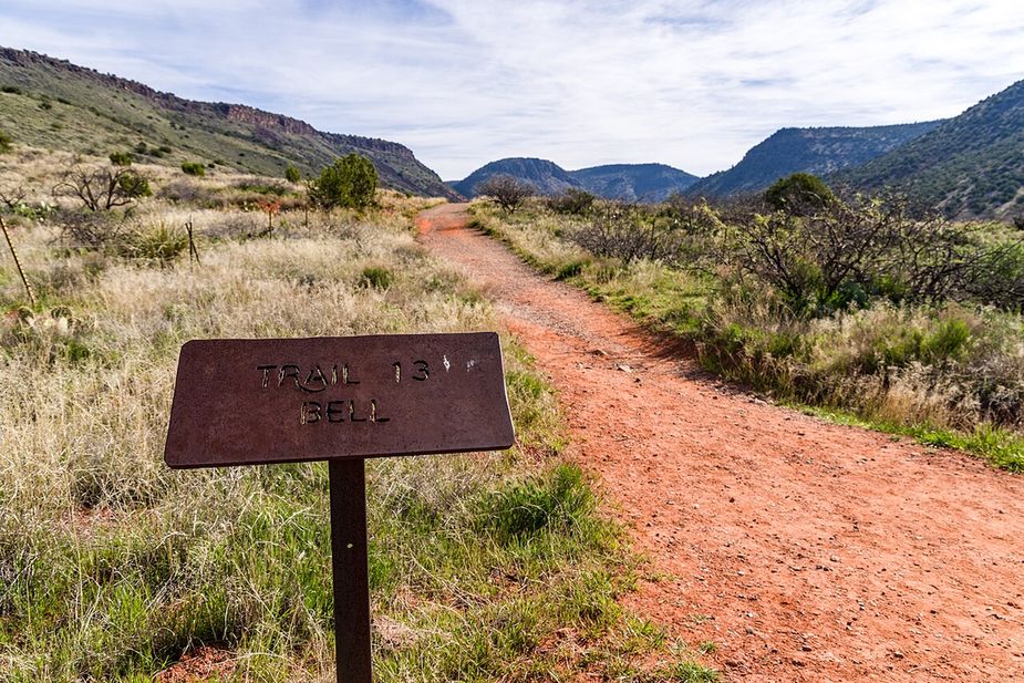
The Red Rock Ranger District keeps up Mescal Connector Trail, one of many routes on the Coconino National Forest. It measures close to 0.32 miles and carries the number 174D. The tread is native material, so expect dirt and rock the whole way. Climbs and descents work out to 5 to 8 percent, and the route is logged at trail class 2. Carry your own water, because there is none to fill up along the way. Storms and snow change conditions fast, so ask the ranger district about closures before you drive out.
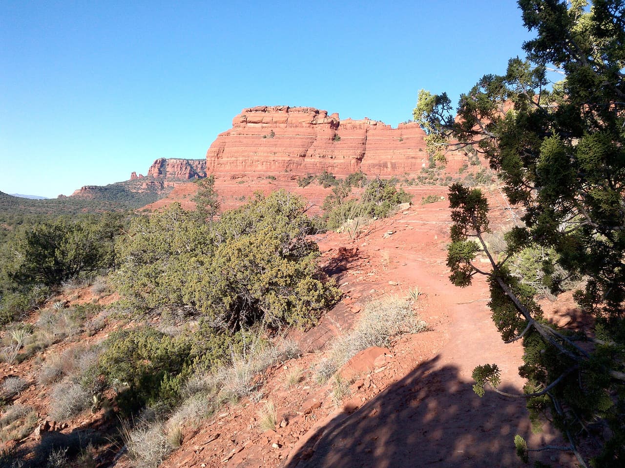 davidpinter (CC BY 3.0)
Mescal Trail is a 2.59 mile route numbered 174C on the Coconino National Forest. Day to day care falls to the Red Rock Ranger District. Native material is the surface here, which is to say plain dirt and stone. Grades of 5 to 8 percent give a sense of how steep the walking gets. The trail class is 2. Shade can be thin, so an early start makes the walk easier in hot months. Pack out everything you carry in, food scraps included. Temperatures swing a lot between morning and afternoon, so dress in layers.
The Red Rock Ranger District keeps up Deadmans Pass Trail, one of many routes on the Coconino National Forest. It measures close to 1.18 miles and carries the number 110. The tread is native material, so expect dirt and rock the whole way. Climbs and descents work out to 5 to 8 percent, and the route is logged at trail class 2. Carry your own water, because there is none to fill up along the way. Storms and snow change conditions fast, so ask the ranger district about closures before you drive out.
Chuckwagon Trail covers about 4.45 miles and is signed as trail 196. It sits on the Coconino National Forest and is looked after by the Red Rock Ranger District. Expect native material underfoot rather than a built or paved path. Grades run between 5 and 8 percent, so expect that much climb and drop. Forest records put it at trail class 2. Small lots fill early on weekends and holidays. Stay on the worn tread to keep the soil and plants around it intact. Footing gets slick for a while after rain.
Walkers heading out from Sedona, Arizona will find Yucca Trail at 0.38 miles long, in the Red Rock Ranger District of the Coconino National Forest. At 5-8% the climb is gentle, and the tread is dirt and rock left as it lies. It carries the number 174E and is held to class 2 standards. Storm runoff moves dirt around, so the tread may look different from one season to the next. Carry water, wear shoes with grip, and give yourself more time than the distance suggests. For closures, dog rules, or parking questions, the Red Rock Ranger District is the place to ask.