Campgrounds · Rimrock

Lawrence Crossing Dispersed Camping Area

About

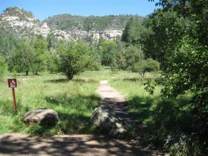
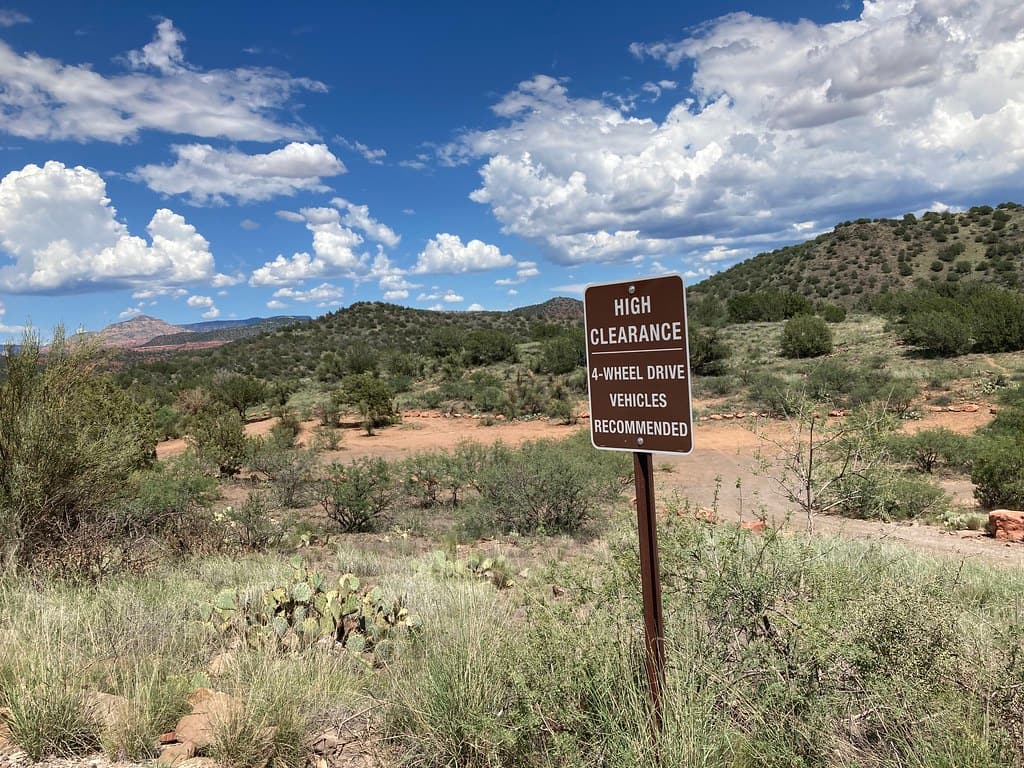
Lawrence Crossing Dispersed Camping Area is a dispersed camping area near Rimrock, Arizona, run by the United States Forest Service. It takes no reservation, so sites are first come. Dispersed camping means no numbered pads, no water, no toilets and no trash service. You camp on ground that is already cleared and carry out what you bring, including waste. A high clearance vehicle helps on forest roads, and they can turn bad after rain. Fire restrictions change with the season and can close ground like this at short notice, so check the current order before you go. Carry all the water you will need for the stay.

Last verified by open-data

0 Was this listing useful?
Reviews

What people say

Loading reviews…
Reader notes

Loading notes…

Nearby

Close to Lawrence Crossing Dispersed Camping Area

Rimrock · Trails · 1.8 km

Crane Trail is 0.37 miles near Rimrock, in the Red Rock Ranger District of Coconino National Forest, as trail number 94. Its surface is imported compacted material rather than native material, and its trail class is 4, the most developed class anywhere listed here. Taken together those usually mean a firm, well built tread rather than rough ground. The typical grade is 5 to 8 percent. The allowed uses are not posted, so ask before you ride. Short and firm underfoot makes this one of the more approachable trails in the set, but check the district for current conditions first.

Verified Verified
Rimrock · Trails · 1.9 km

Well Overlook Trail is a brief path near Rimrock, Arizona, running about 0.45 miles. It is signed as trail number 1006A. Grades of 0-5% keep it nearly level, so the walking is easy and the time outdoors is short. Its trail class of 3 places it among the more developed routes in the area, which usually means a clear tread that is simple to follow. The Coconino National Forest holds this ground, through its Red Rock Ranger District. Shade is limited on most paths here, so carry water in warm months and check for closures or fire restrictions before you set out.

Verified Verified
Rimrock · Trails · 2.0 km

Elmore Wash Trail covers about 1.99 miles on public land near Rimrock, Arizona. It is signed as trail number 1006B. Grades run 0-5%, which keeps the walking close to flat and makes this a reasonable choice for a relaxed outing or a family walk. A trail class of 3 marks it as one of the more developed routes nearby, generally wider and simpler to follow than the rough paths in the area. The Coconino National Forest holds this ground, through its Red Rock Ranger District. Carry water, wear shoes you do not mind getting dusty, and check the weather before you set out.

Verified Verified
Rimrock · Trails · 2.3 km

Short and steady, Sacred Mountain Trail runs about 0.4 miles near Rimrock, Arizona. It is signed as trail number 83. Grades of 5-8% give a modest climb over that short distance, and the surface is native material, so the footing is dirt and rock. A trail class of 1 means the route is rough and only lightly built, so the path may fade in places and ankles get a workout. The Coconino National Forest holds this ground, through its Red Rock Ranger District. Sturdy shoes help. Carry water even on a quick outing, and check the weather and any fire restrictions first.

Verified Verified
Rimrock · Trails · 2.5 km

Sunset Loop runs about 2.04 miles on public land near Rimrock, Arizona and is signed as trail number 1006. Grades stay in the 0-5% range, so the loop is close to level and manageable for most walkers. A trail class of 3 marks it as one of the more developed routes in the area, generally wide and clear enough to follow without a map in hand. Upkeep falls to the Red Rock Ranger District of the Coconino National Forest. The distance suits an easy morning or evening walk. Carry water, and check current closures or fire restrictions before you drive out.

Verified Verified
More

Also in Campgrounds

All campgrounds in Rimrock →
Angel Valley Dispersed Camping Area, Cornville Coconino NF Photography (public-domain)
Cornville · Campgrounds

Angel Valley Dispersed Camping Area is a camping spot in the Cornville, Arizona area. Map records tag it as a camp site, list the operator as USFS, and mark access as open to the public. That is the whole record, and it is thin. There is no address, no phone number, and no set of directions listed here. We do not know the fees, the hours, the road surface, or whether any facilities exist. Dispersed camping usually means you bring everything with you, but we cannot confirm that for this spot. Check with USFS for fire rules, road conditions, and closures before you drive out, because those change through the year.

Verified Verified
Sedona · Campgrounds

A campground at 72 Loy Lane outside Sedona, operated by Global Community Communications Alliance. Wifi is available on site, which is unusual for a camp in this country and useful if you work while you travel. Site types, fees, length limits for a vehicle, and whether water and power are hooked up are not listed here, so ask before you commit to a night. The phone number is (888) 444-1490. Because the camp is run by a private group rather than a public agency, the rules and the booking process are its own, so read them on the camp website first.

Verified Verified
CAVE SPRING, Sedona Conservation Legacy (public-domain)
Sedona · Campgrounds

CAVE SPRING is a campground run by the United States Forest Service at 11345 N. HIGHWAY 89A, SEDONA, AZ, 86336, in Oak Creek Canyon. It has 84 sites and is reservable through recreation.gov, so book ahead in the warm months. The phone number is (928) 282-1629. There is no wifi, and it is not recorded as having ADA access, so ask before you book if that matters. From Phoenix, take I-17 to Highway 179 north toward Sedona, then north on Highway 89A for 11 miles into Oak Creek Canyon. From Flagstaff, take I-17 to Highway 89A south and follow it 18 miles.

Verified Verified