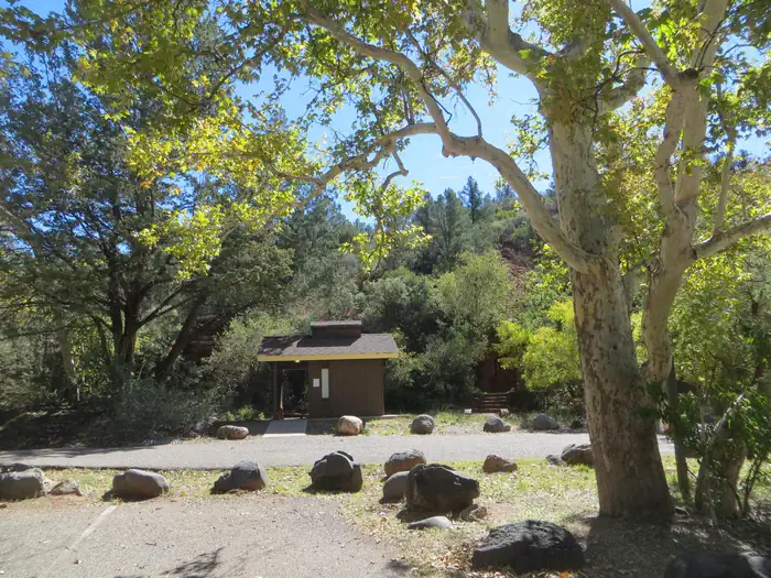
CAVE SPRING, Sedona
Photo: Conservation Legacy (public-domain) · source

Campgrounds · Sedona

CAVE SPRING

Address
11345 N. HIGHWAY 89A, SEDONA, AZ, 86336 · Directions
Phone
(928) 282-1629
Website
recreation.gov
Reservations
Yes
Licensed for
84
Sites
84

About

CAVE SPRING is a campground run by the United States Forest Service at 11345 N. HIGHWAY 89A, SEDONA, AZ, 86336, in Oak Creek Canyon. It has 84 sites and is reservable through recreation.gov, so book ahead in the warm months. The phone number is (928) 282-1629. There is no wifi, and it is not recorded as having ADA access, so ask before you book if that matters. From Phoenix, take I-17 to Highway 179 north toward Sedona, then north on Highway 89A for 11 miles into Oak Creek Canyon. From Flagstaff, take I-17 to Highway 89A south and follow it 18 miles.

Last verified by open-data

0 Was this listing useful?
Reviews

What people say

Loading reviews…
Reader notes

Loading notes…

Nearby

Close to CAVE SPRING

Sedona · Trails · 202 m

About 0.36 miles long, Cave Springs Trail runs through the Coconino National Forest and falls under the Red Rock Ranger District. The number on the sign is 107. The tread is native material, so expect dirt and rock the whole way. Grade sits in the 5 to 8 percent range. Trail class is 3. Wear shoes with grip and take care on loose rock. Phone service is patchy out here, so save a map to your phone first. Step to the side and let horses pass when you meet riders. Sun is strong most of the year, so a hat and sunscreen help.

Verified Verified
Sedona · Trails · 767 m

Telephone Trail covers 0.87 miles inside the Red Rock Ranger District of the Coconino National Forest, on the public land around Sedona, Arizona. Dirt and rock underfoot, with a 5-8% grade that climbs steadily rather than sharply. It carries the number 72 and is held to class 2 standards. Cool mornings are the easier time to walk it, and light fades quickly in the canyons. Sturdy shoes help, and so does an early start in summer. Ask the Red Rock Ranger District about current conditions and where you may park at the start.

Verified Verified
Sedona · Trails · 1.0 km

Trail class 2, grade 12 to 20 percent, and a length near 0.91 miles: that is the shape of Harding Springs Trail. It lies on the Coconino National Forest, in the Red Rock Ranger District, and shows up on maps as trail 51. Nothing is paved. The surface is native material, dirt and rock as found. Step to the side and let horses pass when you meet riders. Sun is strong most of the year, so a hat and sunscreen help. Start back with enough daylight left to finish. Wear shoes with grip and take care on loose rock.

Verified Verified
Sedona · Trails · 1.3 km

Thomas Point Trail is 1.0 miles near Sedona, in the Red Rock Ranger District of Coconino National Forest, as trail number 142. It climbs at a typical 5 to 8 percent, over native material. The trail class is 1, the least developed class, so expect rough tread and light marking rather than a graded path. The allowed uses are not posted for this one, so ask before you ride. A mile on a class 1 trail asks more of you than a mile on a built one. Carry a map.

Verified Verified
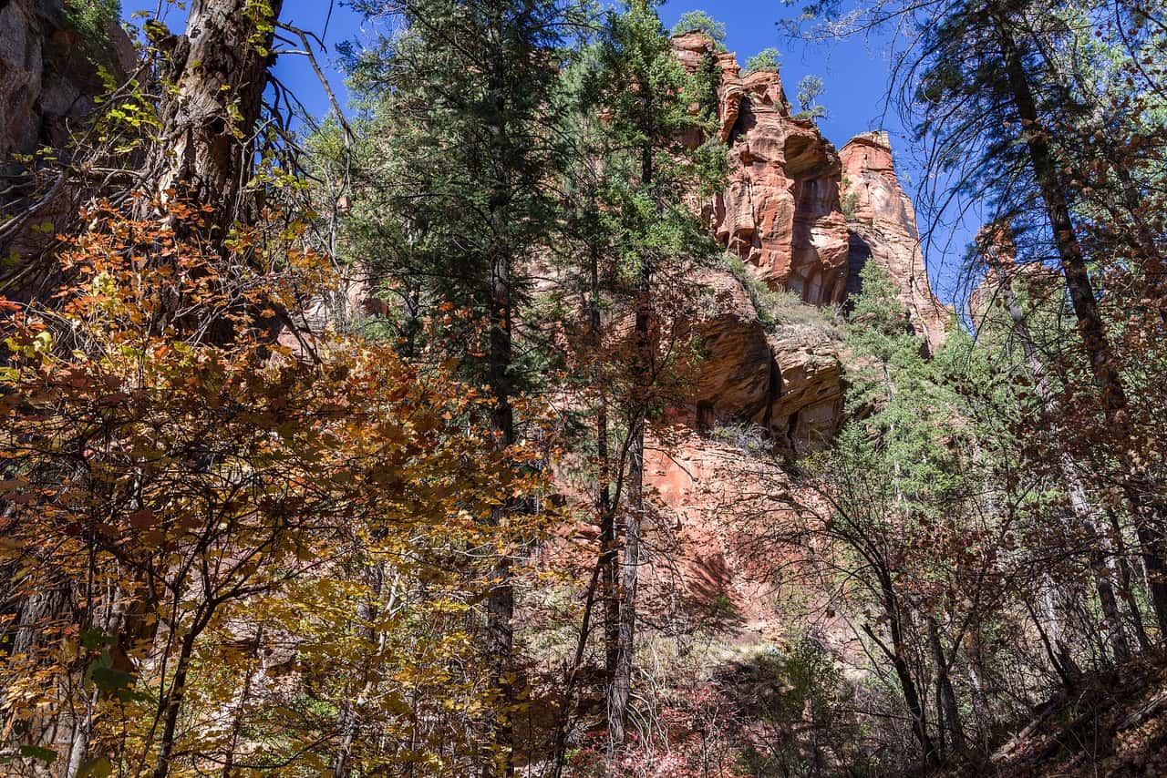
West Fork Trail, Sedona Coconino National Forest (public-domain)
Sedona · Trails · 1.5 km

West Fork Trail is public land walking in the Coconino National Forest, 3.2 miles of it, managed by the Red Rock Ranger District close to Sedona, Arizona. The path rises at 5-8%, steady rather than steep, over dirt and rock. It carries the number 108 and is held to class 2 standards. Rain and snowmelt can leave the footing slick, and washes may hold water for a day or two. Pack water and a hat. Shade comes and goes, and afternoons heat up fast. The Red Rock Ranger District can tell you about closures and any pass you need to leave a car at the start.

Verified Verified
More

Also in Campgrounds

All campgrounds in Sedona →
Sedona · Campgrounds

A campground at 72 Loy Lane outside Sedona, operated by Global Community Communications Alliance. Wifi is available on site, which is unusual for a camp in this country and useful if you work while you travel. Site types, fees, length limits for a vehicle, and whether water and power are hooked up are not listed here, so ask before you commit to a night. The phone number is (888) 444-1490. Because the camp is run by a private group rather than a public agency, the rules and the booking process are its own, so read them on the camp website first.

Verified Verified
CHAVEZ CROSSING, Sedona Recreation Resource Management (public-domain)
Sedona · Campgrounds

Chavez Crossing Group Campground is a USFS campground for groups near Sedona. To get there from Flagstaff, take I-17 south to Hwy 89A, then go south on 89A through Oak Creek Canyon to Sedona. Turn left onto State Highway 179 and go south about 2 miles. Turn right on Oak Creek Cliffs Dr., and the campground is on the left. The street address is 201 Oak Creek Cliffs Dr. Sites must be reserved ahead of time through the Recreation.gov website. This site is not marked as ADA accessible, so ask before you book if that matters. For questions, call (928) 204-0028.

Verified Verified
Sedona · Campgrounds

Cockscomb Dispersed Camping Area is a camping spot in the Sedona, Arizona area. The map record tags it as a camp site, names USFS as the operator, and marks access as open to the public. That is all we have, and it is not much to plan around. There is no address, no phone number, and no directions listed here. We do not know the fees, the stay limits, the road conditions, or whether any facilities exist there. Check with USFS for current fire restrictions, road closures, and camping rules before you head out, since those change with the season and can change fast in a dry year.

Verified Verified