Guide · Sedona · Trails
Trails around Sedona
We list 158 Forest Service trails around Sedona, most of them short. Here is how the list is built, and where to check parking and closures before you go.
Last verified
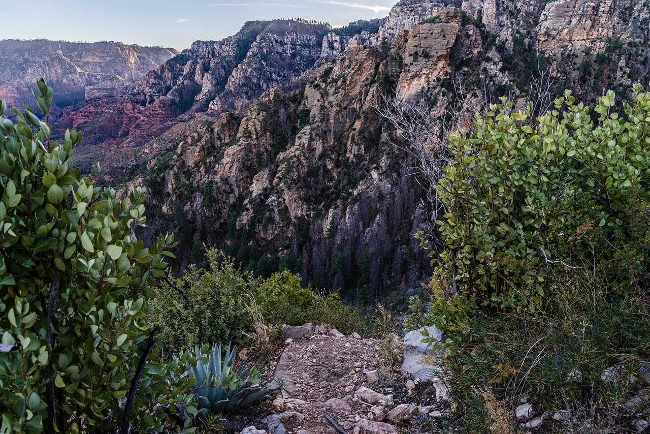
.jpg)
We list 158 trails around Sedona, adding up to about 299 miles. Every one comes from the U.S. Forest Service’s own trail records, so each listing shows the Forest Service’s trail number, its length, and what the path is made of.
Who runs them: all of them are in the Coconino National Forest. 128 are in the Red Rock Ranger District, which covers the red rock country around town. The other 30 are in the Mogollon Rim Ranger District.
Short and long: most are short. 71 are under a mile, and the middle of the list is about a mile and a quarter. Only 15 run longer than five miles. Each listing gives the Forest Service’s length for that trail on its own, so plan for the whole route you mean to walk, not one piece of it.
What is underfoot: almost all of them, 142, are dirt and rock. Two are paved.
Before you go: parking is the hard part in Sedona, not the trail. Many trailheads fill early, and the rules for parking and passes differ from one lot to the next. Our trailhead parking and shuttle guide covers each one. Some trails close after a fire or a flood, so also check our trail closures guide or the Forest Service’s own alerts page.
We don’t rate trails as easy or hard. The Forest Service doesn’t publish that for these trails, and we’d rather not guess.
Is a trail here closed for good, or listed wrong? Use the correct or remove link on its page.
Sources
- USDA Forest Service, National Forest System Trails
- Our listings export (data/exports/listings.json)