Nearby
Close to Table Top Trail
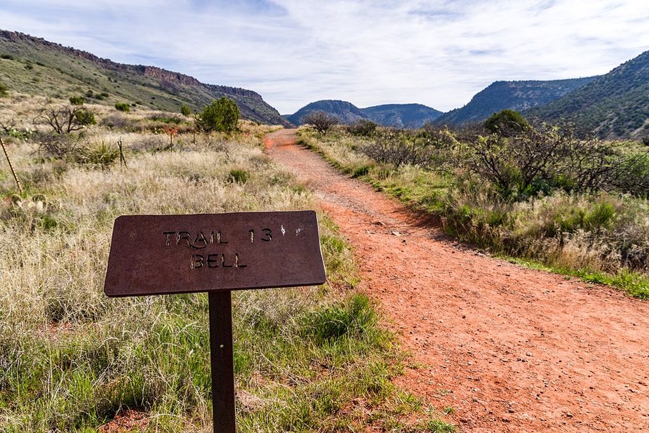
Ridge Trail covers 2.77 miles inside the Red Rock Ranger District of the Coconino National Forest, on the public land around Sedona, Arizona. Dirt and rock underfoot, with a 5-8% grade that climbs steadily rather than sharply. It carries the number 208 and is held to class 3 standards. Cool mornings are the easier time to walk it, and light fades quickly in the canyons. Sturdy shoes help, and so does an early start in summer. Ask the Red Rock Ranger District about current conditions and where you may park at the start.
Verified Verified
Signed as trail 672, Sketch Trail stretches 1.22 miles in the Red Rock Ranger District of the Coconino National Forest near Sedona, Arizona. The tread is dirt and rock left in place, and grades of 10-12% mean the miles tilt uphill in places. It is held to class 3 standards. Loose rock turns up after storms, so watch your step on the downhill side. Take water for everyone in your group, and turn back if the weather changes. Check with the Red Rock Ranger District for closures, fire limits, and parking rules before you drive out.
Verified Verified
Carroll Canyon Trail runs 1.59 miles through the Red Rock Ranger District of the Coconino National Forest, signed as trail 207. Grades of 5 to 8 percent keep the effort steady, without a long hard climb. The surface is native material, so packed dirt and rock with loose sections in places, and the route is rated trail class 2, which means a clear path that has not been built up. It is a reasonable length for a morning outing and connects with other trails in the area. Bring water, watch the weather and check for closures before you drive to the trailhead.
Verified Verified
Ramshead Trail is 1.11 miles near Sedona, in the Red Rock Ranger District of Coconino National Forest, as trail number 202A. The letter marks it as a branch of the route numbered 202, which runs nearby at a similar grade. Native material underfoot, at a typical grade of 10 to 12 percent. It is recorded as trail class 2. The allowed uses are not posted for this one, so ask before you ride. The two together make an obvious pairing on the map, which is the sensible way to plan either one.
Verified Verified
A short drive from Sedona, Arizona, Old Post Trail runs 2.7 miles through the Coconino National Forest and is looked after by the Red Rock Ranger District. Grades run 5-8%, so the climbing is gradual, and the footing is plain dirt and rock. It carries the number 206 and is held to class 3 standards. Other people share the path, so listen for riders and bikes coming from behind. Bring more water than you think you need, and tell someone your plan. Call the Red Rock Ranger District first if you want to know about fire limits or a temporary closure.
Verified Verified
More
All viewpoints in Sedona → Also in Viewpoints
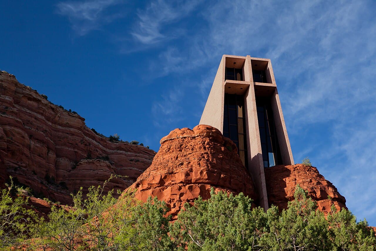 Matthew P. Del Buono (Shirik) (CC BY-SA 3.0)


Chapel of the Holy Cross is a Catholic chapel at 780 Chapel Road in Sedona, built into the rock at about 1369 meters. Entry is free, though donations are accepted, and there is a gift shop. The hours here are reported rather than confirmed: 9 a.m. to 5 p.m. daily, with last entry at 4:45 p.m., and closed at Christmas and Easter. Treat those as a guide and check before a long drive. The phone number is (928) 282-4069. Parking is the real constraint here, on a short and steep access road that fills up.
Verified Verified