Campgrounds · Village of Oak Creek

FR 689

About

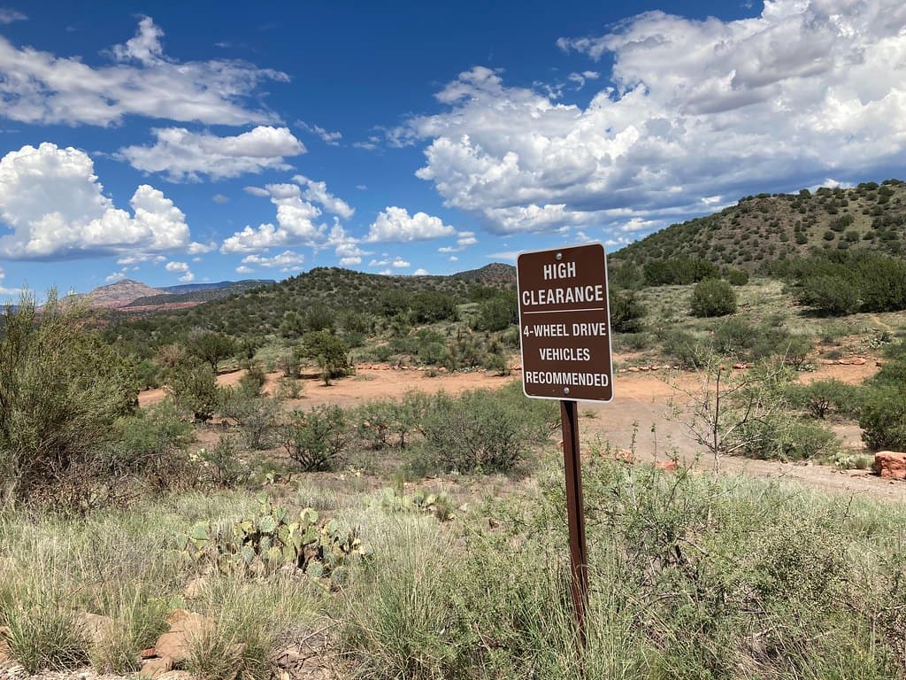
FR 689 is a camping spot along a forest road in the Village of Oak Creek area. Few details are available. The map data tags it as a camp site with USFS as the operator and marks access as open. We do not have an address, a phone number, a fee, the number of sites, or whether it has any facilities at all. The name FR 689 reads as a forest road number, so this is more likely camping along the road than a developed campground with a host. The rules for that change by season, so check with the forest office first.

Last verified by open-data

0 Was this listing useful?
Reviews

What people say

Loading reviews…
Reader notes

Loading notes…

Nearby

Close to FR 689

Village of Oak Creek · Trails · 7.3 km

Hot Loop is 11.24 miles near Village of Oak Creek, in the Red Rock Ranger District of Coconino National Forest, as trail number 40. It is a loop, so no shuttle is needed, but the numbers deserve reading together: eleven miles at a typical grade of 12 to 20 percent, the steepest band are listed. That is a long, hard day by any measure. Native material underfoot, class 2. The permitted uses are not posted here. Start early, carry more water than feels sensible, and tell someone your plan.

Verified Verified
Rimrock · Trails · 7.4 km

Hikers looking for a long day near Rimrock, Arizona can follow Apache Maid Trail, which covers about 8.67 miles. It is signed as trail number 15. Grades fall in the 5-8% range, a steady pull rather than a scramble, and the walking surface is native material, so expect dirt and rock underfoot. A trail class of 2 means the route is built simply: a clear path, but few signs and no paving. The Red Rock Ranger District of the Coconino National Forest looks after it. Plan for sun and heat, carry more water than you think you need, and tell someone when you expect to be back.

Verified Verified
Woods Canyon Trail, Village of Oak Creek Coconino National Forest (CC0-1.0)
Village of Oak Creek · Trails · 7.5 km

Trail number 93 carries the name Woods Canyon Trail. It covers about 5.22 miles on public land near the Village of Oak Creek, Arizona. The route is built on native material and is rated trail class 2. Grade on the path is given as 5-8%. Care of the trail falls to the Red Rock Ranger District of the Coconino National Forest. Carry water and tell someone where you plan to walk. Wear shoes with good grip and give yourself time to get back. Match the trail number to the signs at junctions so you stay on the route you meant to take.

Verified Verified
Village of Oak Creek · Trails · 7.5 km

Hot Loop a runs about 1.52 miles through the red rock country around the Village of Oak Creek, Arizona. The grade is listed at 5-8%, so there is some climbing but nothing sustained for long. Walkers cross native material. It is signed as trail number 40A and rated trail class 2. The Red Rock Ranger District of the Coconino National Forest takes care of it. Phone service is not reliable on forest land, so save a map before you leave town. Plan a turnaround time, and turn back early if the light or the weather changes.

Verified Verified
Rimrock · Trails · 7.5 km

Apache Maid Spur Trail is a short path on public land near Rimrock, Arizona. It runs about 0.55 miles and is signed as trail number 15A. The tread is native material, meaning packed dirt and loose rock rather than gravel or pavement. Grades sit in the 5-8% range, so there is steady climbing in spots without long steep pitches. It carries a trail class of 1, the roughest build, so the path can be faint and footing uneven. Upkeep falls to the Red Rock Ranger District of the Coconino National Forest. Carry your own water, watch the weather, and check for fire restrictions before you drive out.

Verified Verified
Village of Oak Creek · Campgrounds

FR 120A Dispersed is a dispersed camping area listed under the USFS, out from the Village of Oak Creek. Dispersed camping means no hookups, no water, no restrooms, and no host, and you carry out everything you bring in. It lists access as open. It does not give an address, a phone number, driving directions, road conditions, or fire rules, and those last two change with the season and the weather. Ask the USFS before you head out, since a road a car can handle in spring may want higher clearance later in the year. We also have no count of sites. Treat this as a pointer, not a plan.

Verified Verified
Angel Valley Dispersed Camping Area, Cornville Coconino NF Photography (public-domain)
Cornville · Campgrounds

Angel Valley Dispersed Camping Area is a camping spot in the Cornville, Arizona area. Map records tag it as a camp site, list the operator as USFS, and mark access as open to the public. That is the whole record, and it is thin. There is no address, no phone number, and no set of directions listed here. We do not know the fees, the hours, the road surface, or whether any facilities exist. Dispersed camping usually means you bring everything with you, but we cannot confirm that for this spot. Check with USFS for fire rules, road conditions, and closures before you drive out, because those change through the year.

Verified Verified
Sedona · Campgrounds

A campground at 72 Loy Lane outside Sedona, operated by Global Community Communications Alliance. Wifi is available on site, which is unusual for a camp in this country and useful if you work while you travel. Site types, fees, length limits for a vehicle, and whether water and power are hooked up are not listed here, so ask before you commit to a night. The phone number is (888) 444-1490. Because the camp is run by a private group rather than a public agency, the rules and the booking process are its own, so read them on the camp website first.

Verified Verified